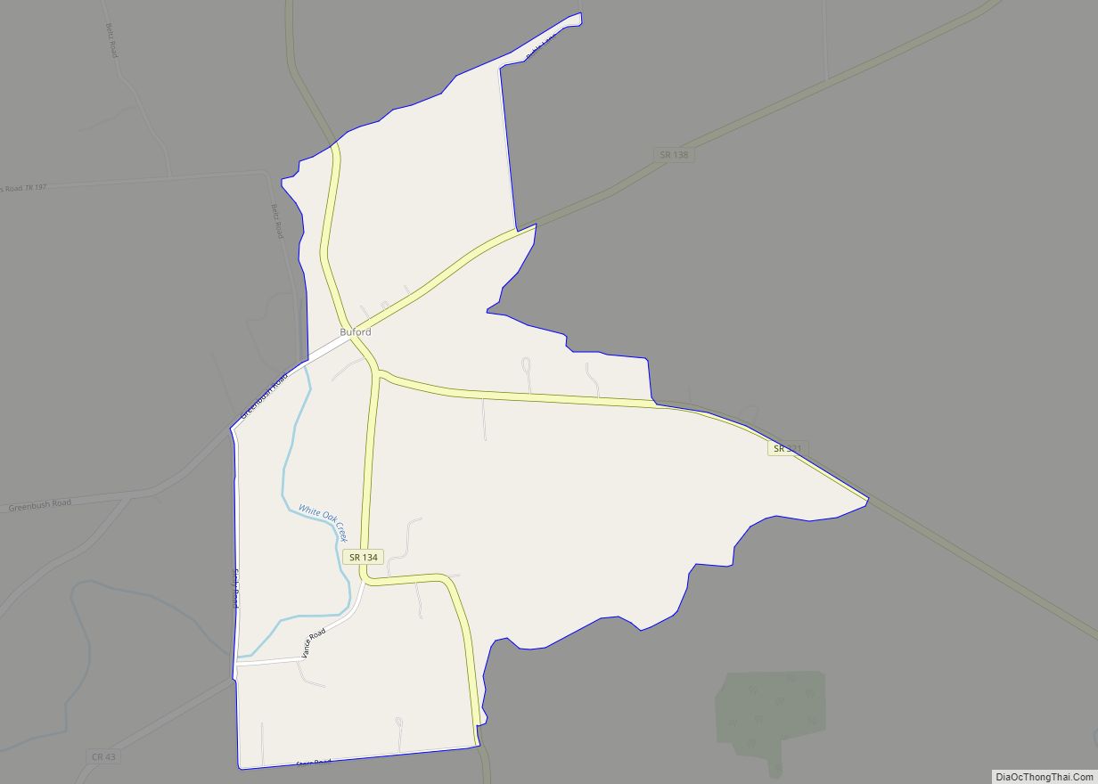
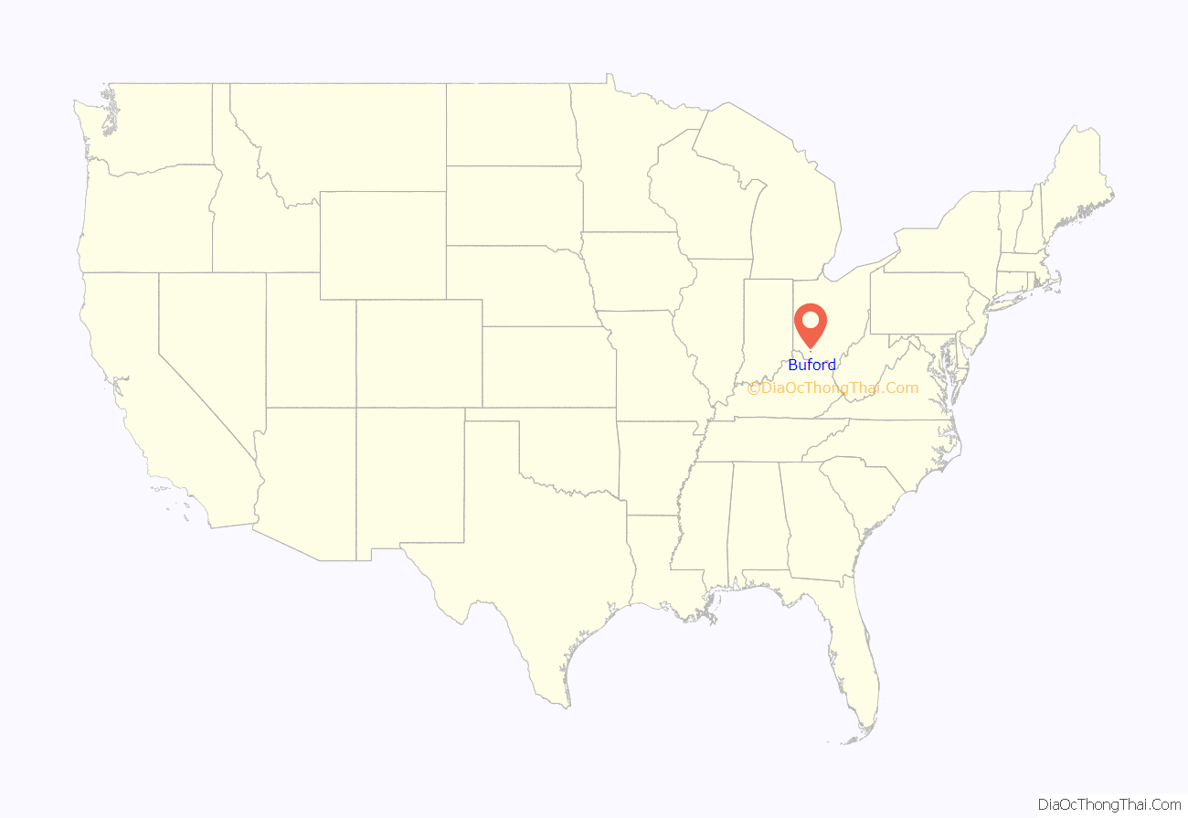
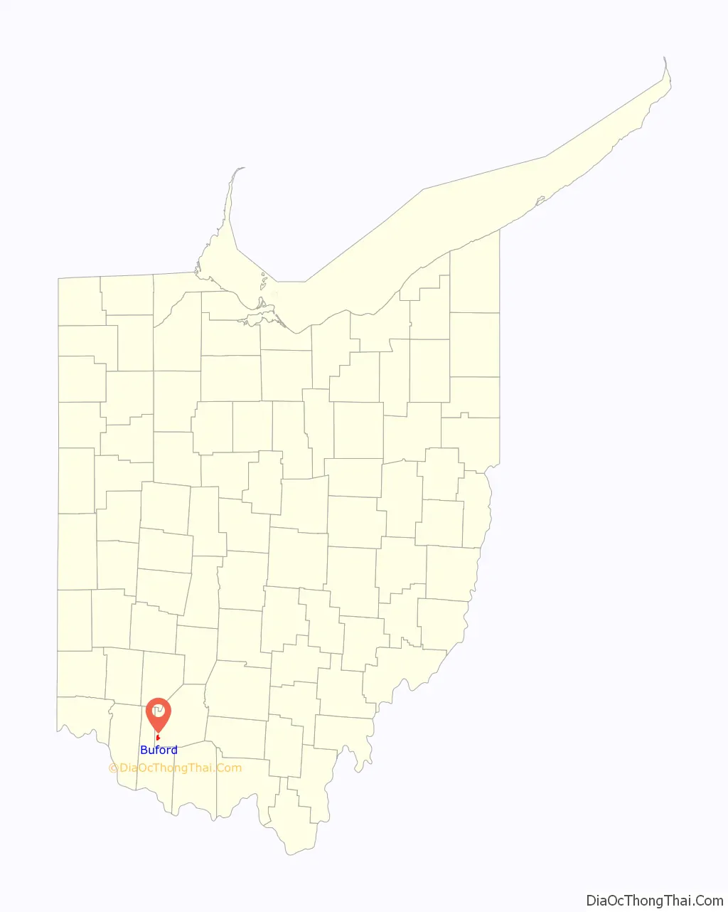
Buford is an unincorporated community and census-designated place in central Clay Township, Highland County, Ohio, United States. The population was 352 at the 2010 census. it once had a post office, with the ZIP code 45110. The current ZIP code 45171 is for nearby Sardinia.
| Name: | Buford CDP |
|---|---|
| LSAD Code: | 57 |
| LSAD Description: | CDP (suffix) |
| State: | Ohio |
| County: | Highland County |
| Elevation: | 959 ft (292 m) |
| Total Area: | 1.48 sq mi (3.84 km²) |
| Land Area: | 1.48 sq mi (3.84 km²) |
| Water Area: | 0.00 sq mi (0.00 km²) |
| Total Population: | 306 |
| Population Density: | 206.34/sq mi (79.66/km²) |
| ZIP code: | 45171 |
| Area code: | 937, 326 |
| FIPS code: | 3910156 |
| GNISfeature ID: | 1038503 |
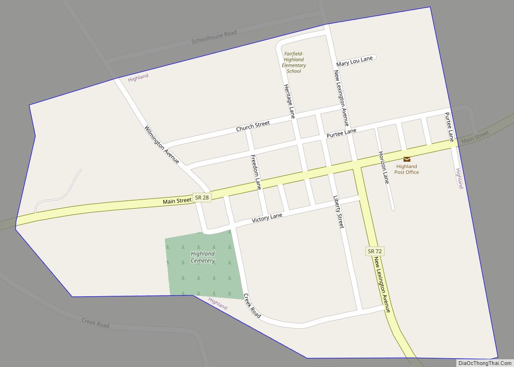
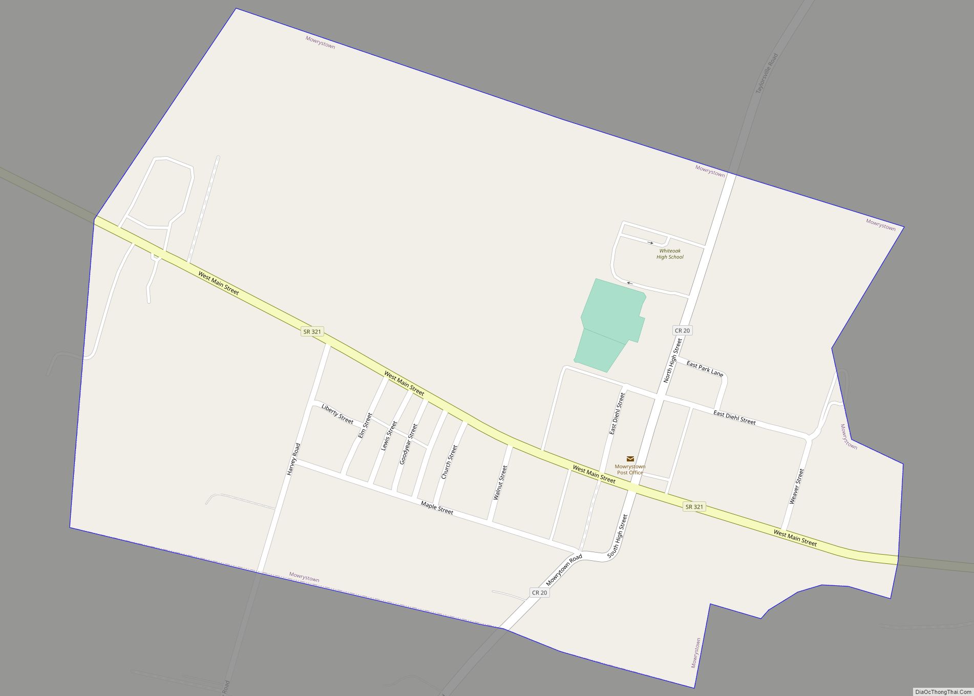
Online Interactive Map
Click on ![]() to view map in "full screen" mode.
to view map in "full screen" mode.
Buford location map. Where is Buford CDP?
History
Buford was platted in 1834, and named after the maiden name of the wife of a first settler.
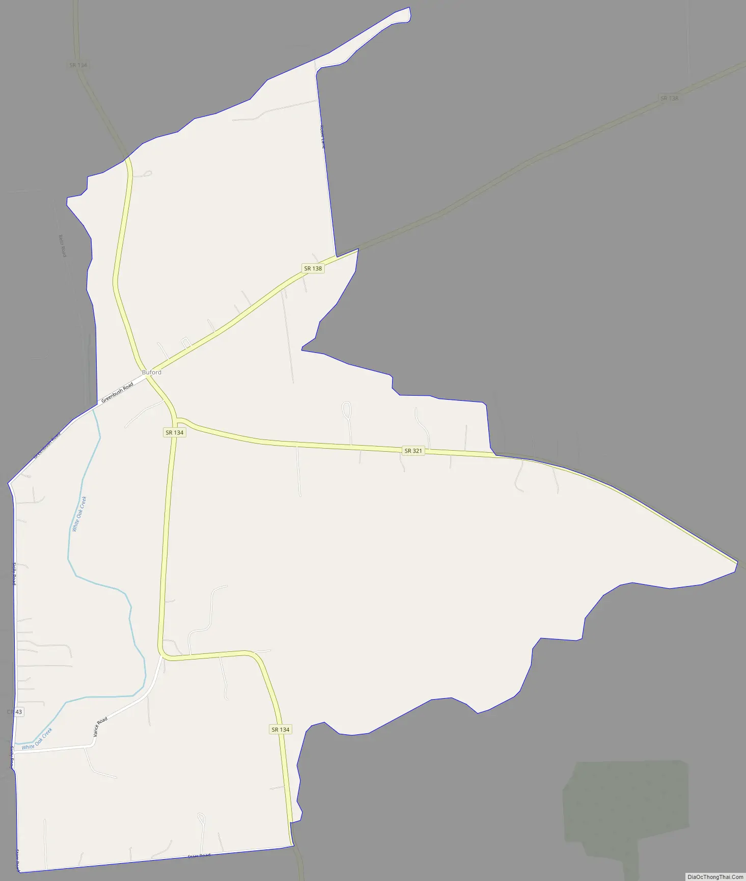
Buford Road Map
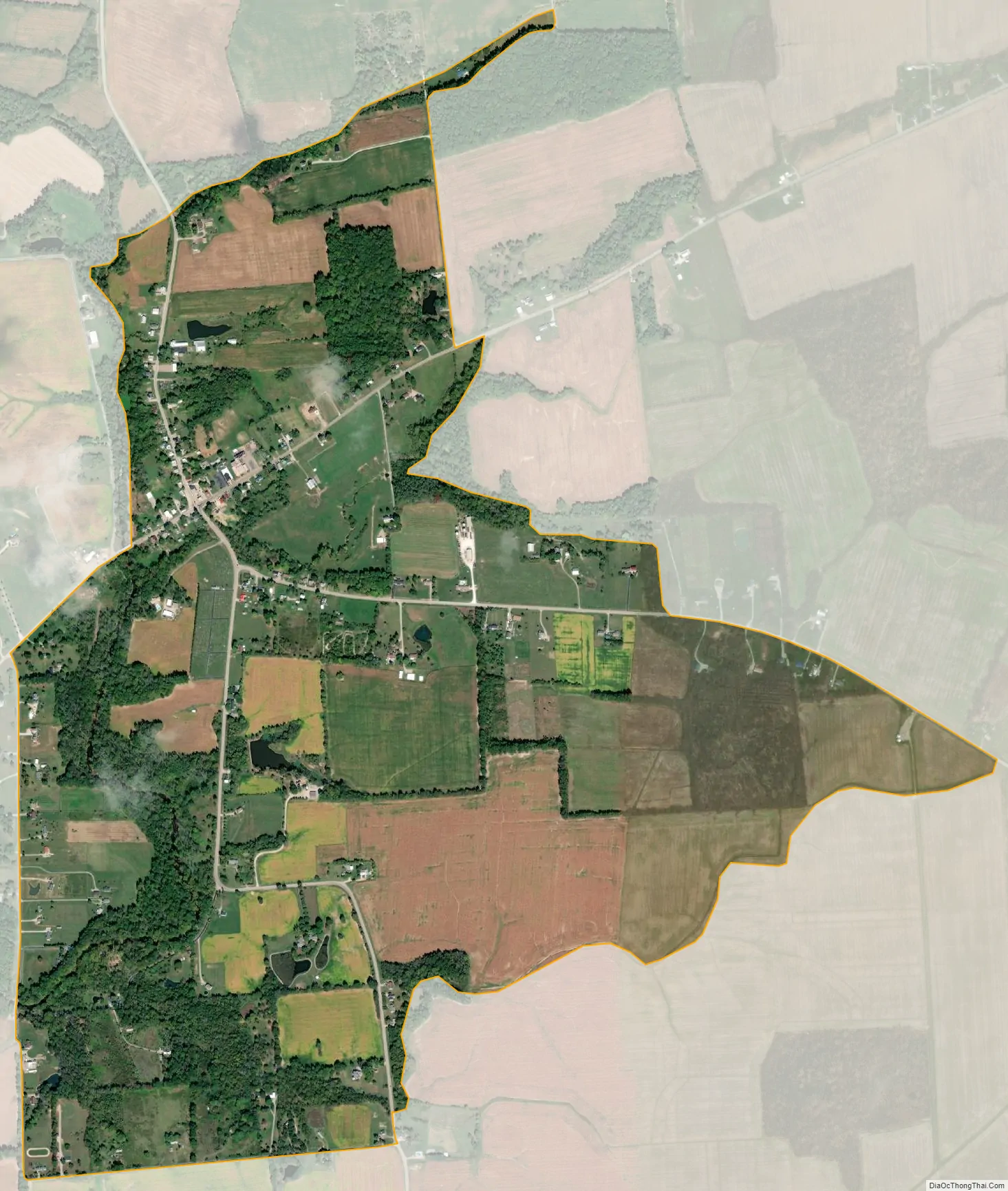
Buford city Satellite Map
Geography
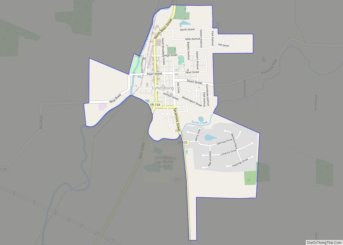
Buford lies in southwestern Highland County at the intersection of State Routes 134, 138, and 321. Route 134 leads north 12 miles (19 km) to Lynchburg and south 5 miles (8 km) to Sardinia. Route 138 leads northeast 15 miles (24 km) to Hillsboro, the Highland county seat, while Route 321 leads southeast 6 miles (10 km) to Mowrystown.
According to the United States Census Bureau, the Buford CDP has a total area of 1.48 square miles (3.84 km), all of it recorded as land.
See also
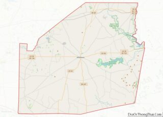
Map of Ohio State and its subdivision:- Adams
- Allen
- Ashland
- Ashtabula
- Athens
- Auglaize
- Belmont
- Brown
- Butler
- Carroll
- Champaign
- Clark
- Clermont
- Clinton
- Columbiana
- Coshocton
- Crawford
- Cuyahoga
- Darke
- Defiance
- Delaware
- Erie
- Fairfield
- Fayette
- Franklin
- Fulton
- Gallia
- Geauga
- Greene
- Guernsey
- Hamilton
- Hancock
- Hardin
- Harrison
- Henry
- Highland
- Hocking
- Holmes
- Huron
- Jackson
- Jefferson
- Knox
- Lake
- Lake Erie
- Lawrence
- Licking
- Logan
- Lorain
- Lucas
- Madison
- Mahoning
- Marion
- Medina
- Meigs
- Mercer
- Miami
- Monroe
- Montgomery
- Morgan
- Morrow
- Muskingum
- Noble
- Ottawa
- Paulding
- Perry
- Pickaway
- Pike
- Portage
- Preble
- Putnam
- Richland
- Ross
- Sandusky
- Scioto
- Seneca
- Shelby
- Stark
- Summit
- Trumbull
- Tuscarawas
- Union
- Van Wert
- Vinton
- Warren
- Washington
- Wayne
- Williams
- Wood
- Wyandot
- Alabama
- Alaska
- Arizona
- Arkansas
- California
- Colorado
- Connecticut
- Delaware
- District of Columbia
- Florida
- Georgia
- Hawaii
- Idaho
- Illinois
- Indiana
- Iowa
- Kansas
- Kentucky
- Louisiana
- Maine
- Maryland
- Massachusetts
- Michigan
- Minnesota
- Mississippi
- Missouri
- Montana
- Nebraska
- Nevada
- New Hampshire
- New Jersey
- New Mexico
- New York
- North Carolina
- North Dakota
- Ohio
- Oklahoma
- Oregon
- Pennsylvania
- Rhode Island
- South Carolina
- South Dakota
- Tennessee
- Texas
- Utah
- Vermont
- Virginia
- Washington
- West Virginia
- Wisconsin
- Wyoming