Cairo (/ˈkɛəroʊ/ KAIR-oh) is a village in Allen County, Ohio, United States. As of the 2020 census it had a population of 517. It is included in the Lima Metropolitan Statistical Area.
| Name: | Cairo village |
|---|---|
| LSAD Code: | 47 |
| LSAD Description: | village (suffix) |
| State: | Ohio |
| County: | Allen County |
| Elevation: | 814 ft (248 m) |
| Total Area: | 0.28 sq mi (0.72 km²) |
| Land Area: | 0.28 sq mi (0.72 km²) |
| Water Area: | 0.00 sq mi (0.00 km²) |
| Total Population: | 517 |
| Population Density: | 1,866.43/sq mi (720.62/km²) |
| ZIP code: | 45820 |
| Area code: | 419 |
| FIPS code: | 3910884 |
| GNISfeature ID: | 1056752 |
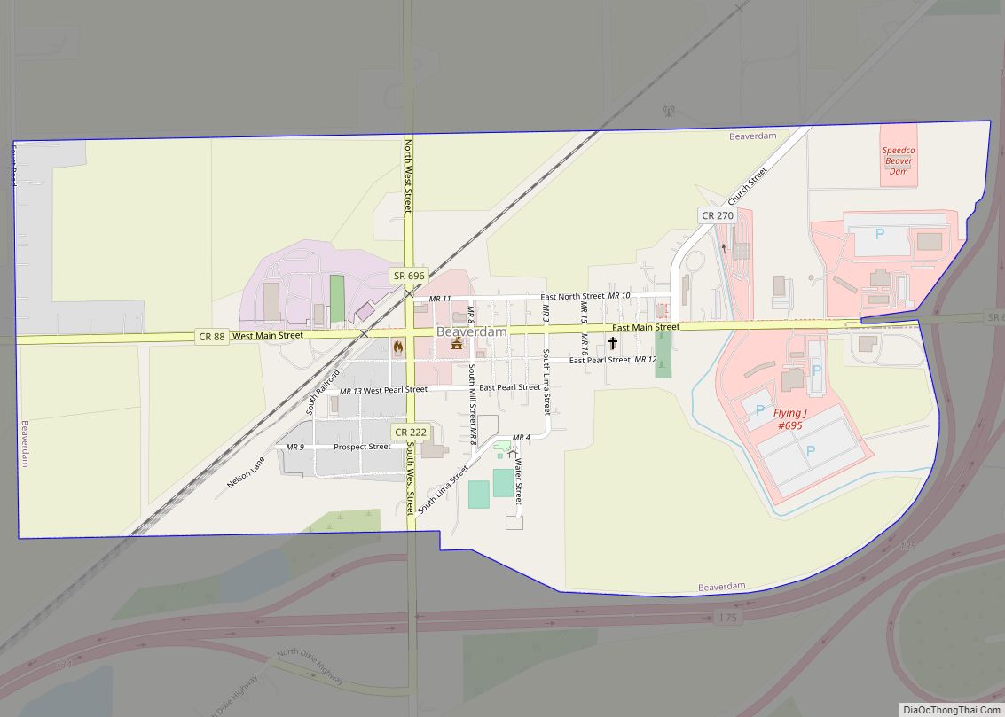
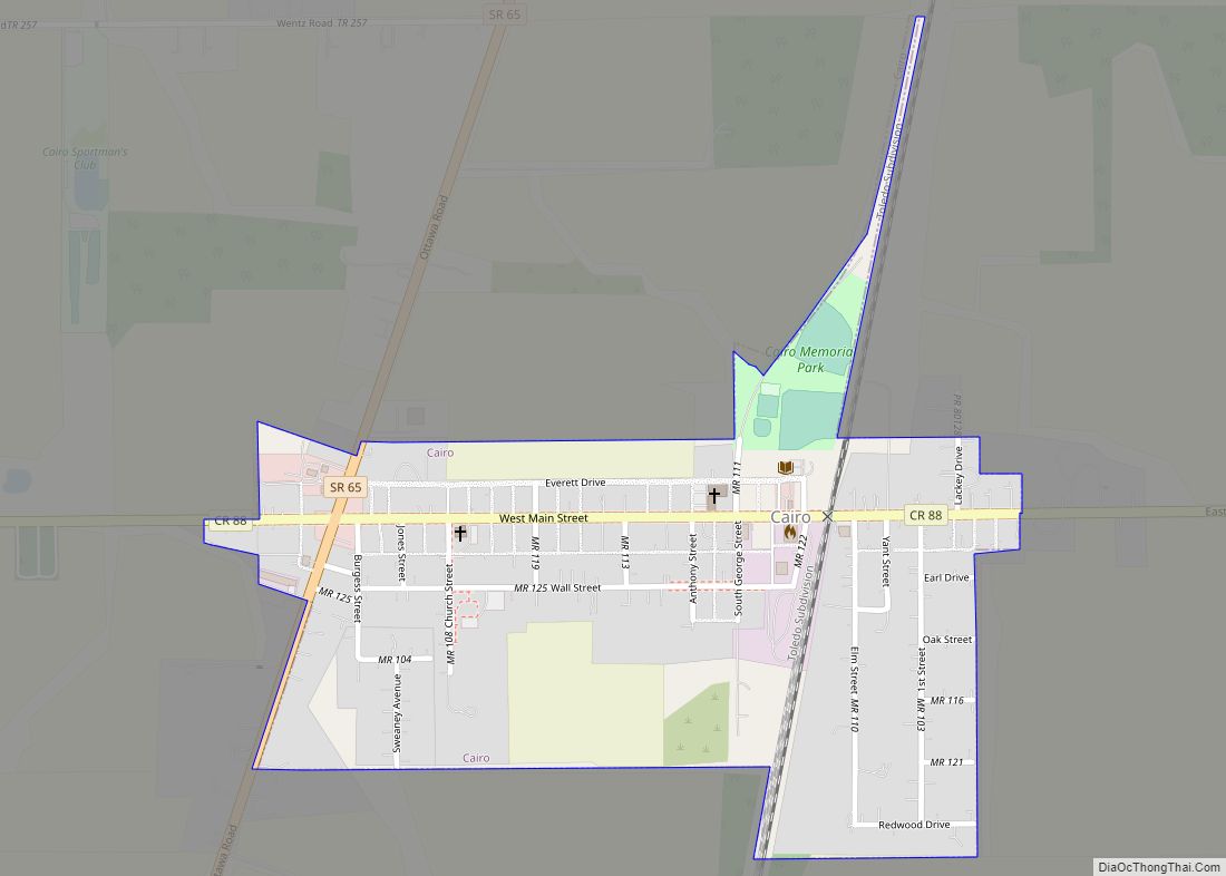
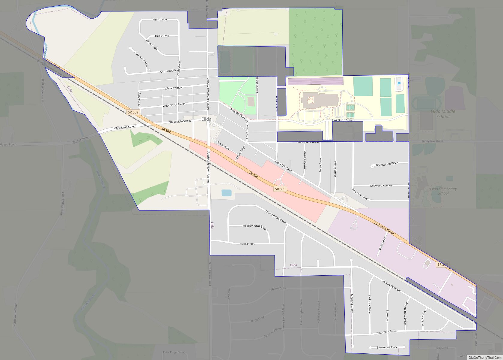
Online Interactive Map
Click on ![]() to view map in "full screen" mode.
to view map in "full screen" mode.
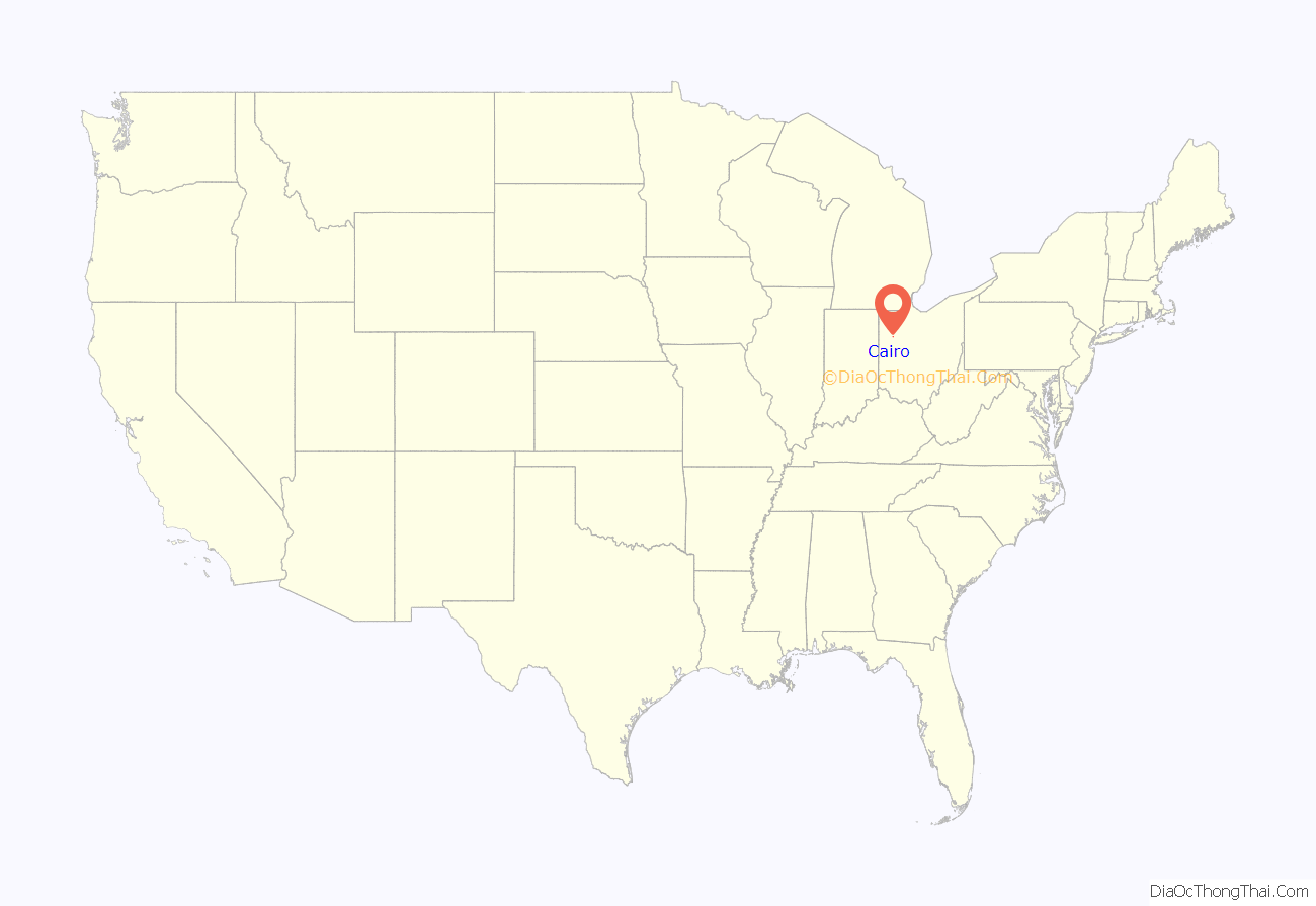
Cairo location map. Where is Cairo village?
History
Cairo was originally called West Cairo, and under the latter name was platted in 1848. A post office called West Cairo was established in 1852, and the name was changed to Cairo in 1922.
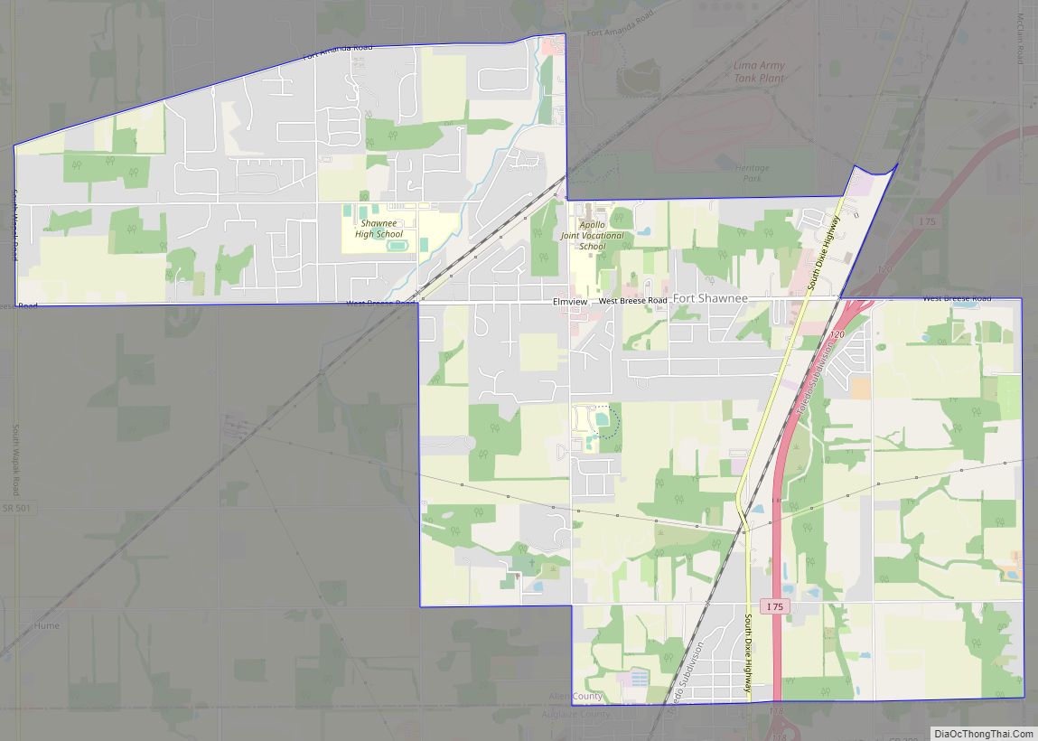
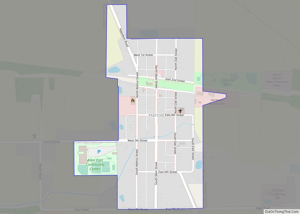
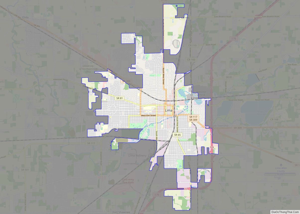
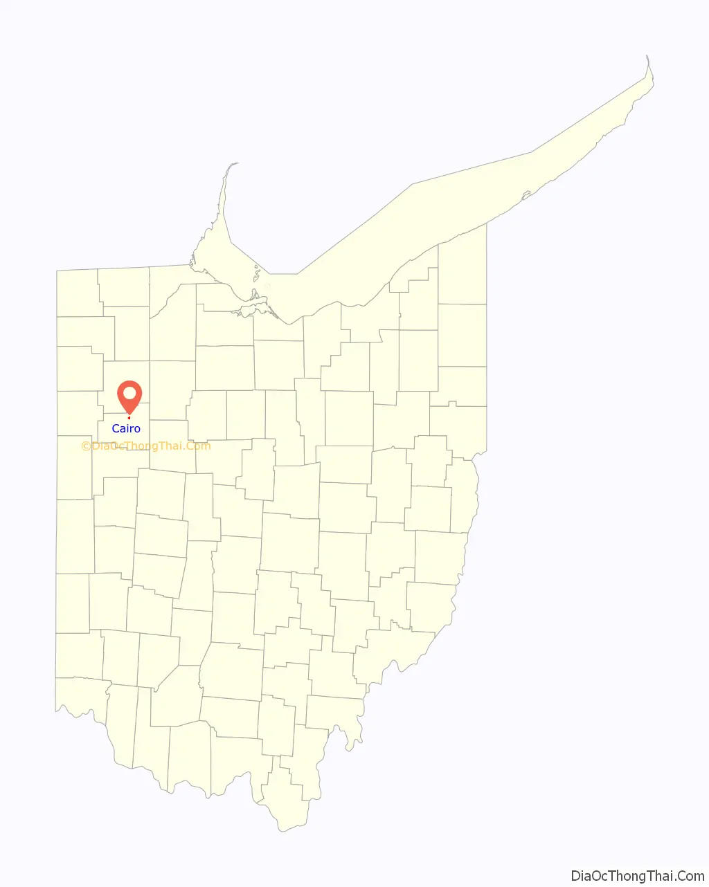
Cairo Road Map
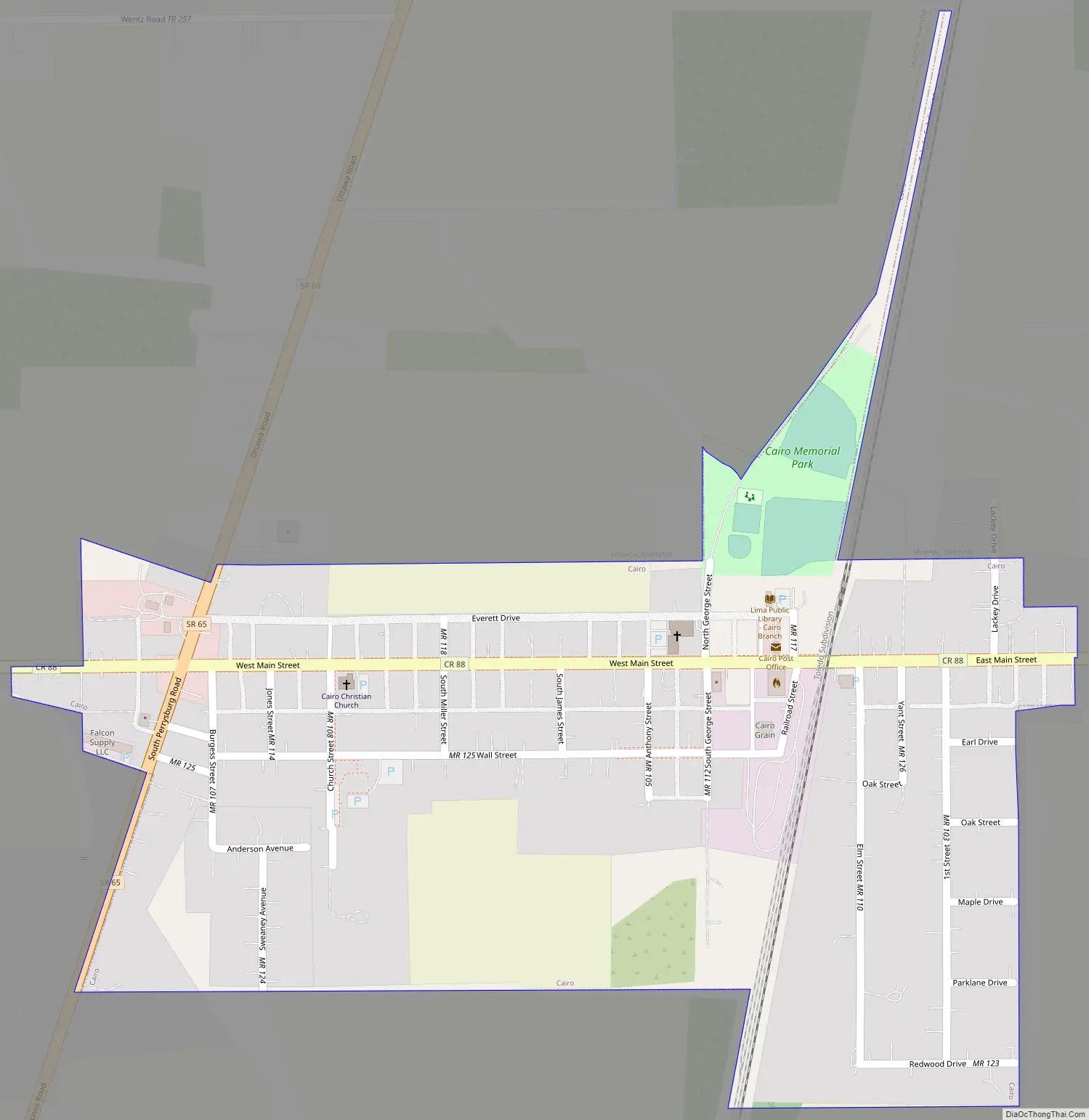
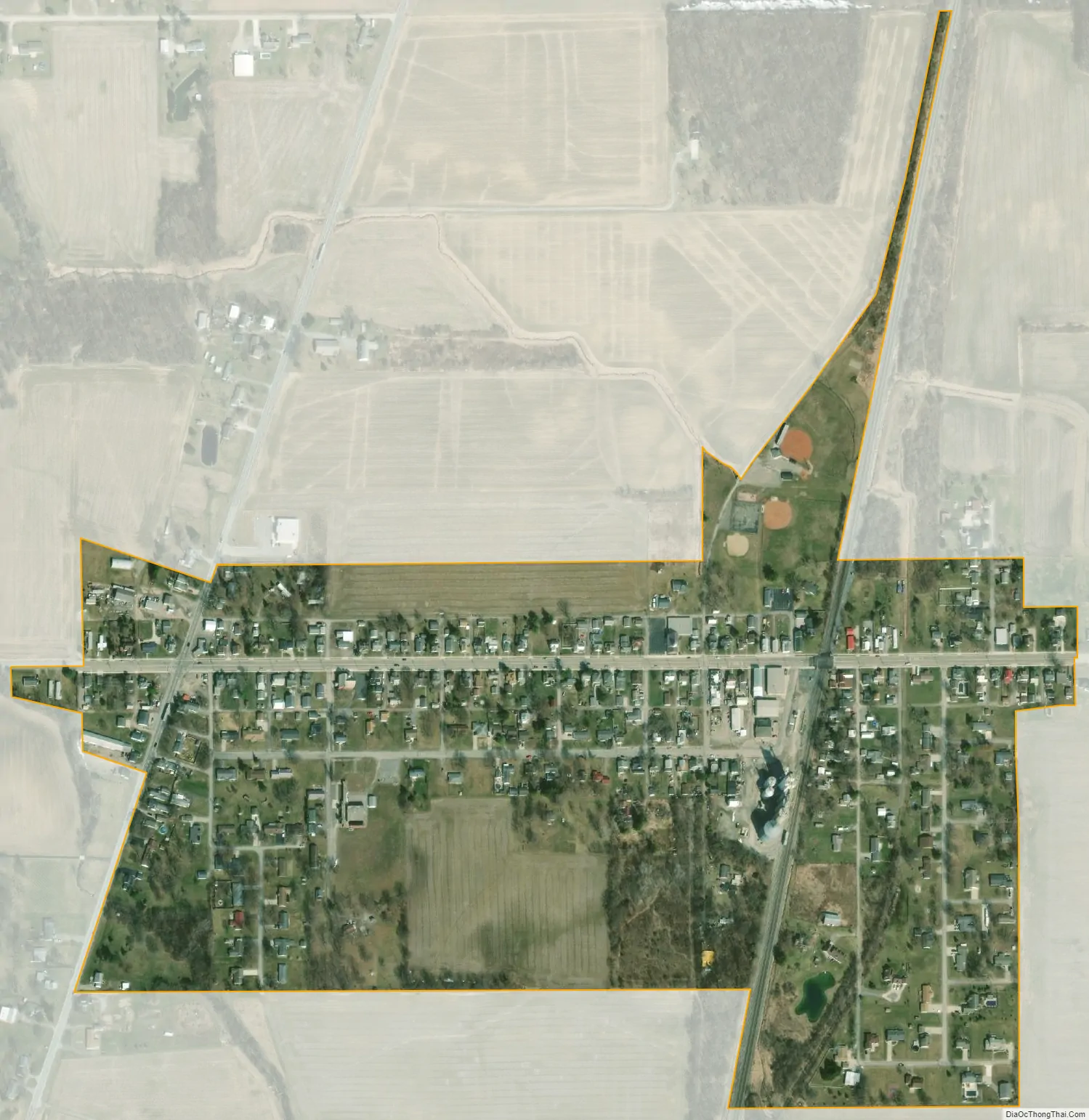
Cairo city Satellite Map
Geography
Cairo is located at the intersection of what was the east–west U.S. Route 30 (the Lincoln Highway) and the north–south State Route 65 (“Ottawa Road”) in the middle of farming country. In the 1970s, Route 30 was upgraded and moved approximately one mile south of Cairo. Now, the east–west street in Cairo is Main Street. Cairo lies near the following city and towns:
- Lima, about six miles to the south on State Route 65
- Columbus Grove, about six miles to the north on State Route 65
- Gomer, about five miles to the west on the old Lincoln Highway route
- Beaverdam, about six miles to the east on the old Lincoln Highway route
The elevation of the land area of Cairo (ranges from about 812′ at the west end to 842′ at the east end of the village above sea level) is benchmarked at 815 feet (248 m) above sea level, generally flat and moderately wooded. The nearest stream with year-round flow is Rattlesnake Creek, which flows from south of the village and passes just to the west of the village. Water flow in the village is generally from the south and east to the north and west.
According to the United States Census Bureau, the village has a total area of 0.23 square miles (0.60 km), all land.
See also
Map of Ohio State and its subdivision:- Adams
- Allen
- Ashland
- Ashtabula
- Athens
- Auglaize
- Belmont
- Brown
- Butler
- Carroll
- Champaign
- Clark
- Clermont
- Clinton
- Columbiana
- Coshocton
- Crawford
- Cuyahoga
- Darke
- Defiance
- Delaware
- Erie
- Fairfield
- Fayette
- Franklin
- Fulton
- Gallia
- Geauga
- Greene
- Guernsey
- Hamilton
- Hancock
- Hardin
- Harrison
- Henry
- Highland
- Hocking
- Holmes
- Huron
- Jackson
- Jefferson
- Knox
- Lake
- Lake Erie
- Lawrence
- Licking
- Logan
- Lorain
- Lucas
- Madison
- Mahoning
- Marion
- Medina
- Meigs
- Mercer
- Miami
- Monroe
- Montgomery
- Morgan
- Morrow
- Muskingum
- Noble
- Ottawa
- Paulding
- Perry
- Pickaway
- Pike
- Portage
- Preble
- Putnam
- Richland
- Ross
- Sandusky
- Scioto
- Seneca
- Shelby
- Stark
- Summit
- Trumbull
- Tuscarawas
- Union
- Van Wert
- Vinton
- Warren
- Washington
- Wayne
- Williams
- Wood
- Wyandot
- Alabama
- Alaska
- Arizona
- Arkansas
- California
- Colorado
- Connecticut
- Delaware
- District of Columbia
- Florida
- Georgia
- Hawaii
- Idaho
- Illinois
- Indiana
- Iowa
- Kansas
- Kentucky
- Louisiana
- Maine
- Maryland
- Massachusetts
- Michigan
- Minnesota
- Mississippi
- Missouri
- Montana
- Nebraska
- Nevada
- New Hampshire
- New Jersey
- New Mexico
- New York
- North Carolina
- North Dakota
- Ohio
- Oklahoma
- Oregon
- Pennsylvania
- Rhode Island
- South Carolina
- South Dakota
- Tennessee
- Texas
- Utah
- Vermont
- Virginia
- Washington
- West Virginia
- Wisconsin
- Wyoming