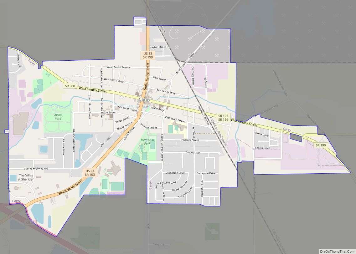
Carey is a village in Wyandot County, Ohio, United States. The population was 3,507 at the 2019 census.
| Name: | Carey village |
|---|---|
| LSAD Code: | 47 |
| LSAD Description: | village (suffix) |
| State: | Ohio |
| County: | Wyandot County |
| Elevation: | 820 ft (250 m) |
| Total Area: | 2.17 sq mi (5.61 km²) |
| Land Area: | 2.16 sq mi (5.59 km²) |
| Water Area: | 0.01 sq mi (0.02 km²) |
| Total Population: | 3,565 |
| Population Density: | 1,651.23/sq mi (637.52/km²) |
| ZIP code: | 43316 |
| Area code: | 419 |
| FIPS code: | 3912112 |
| GNISfeature ID: | 1056766 |
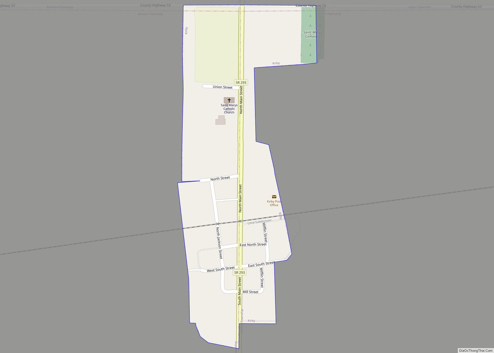
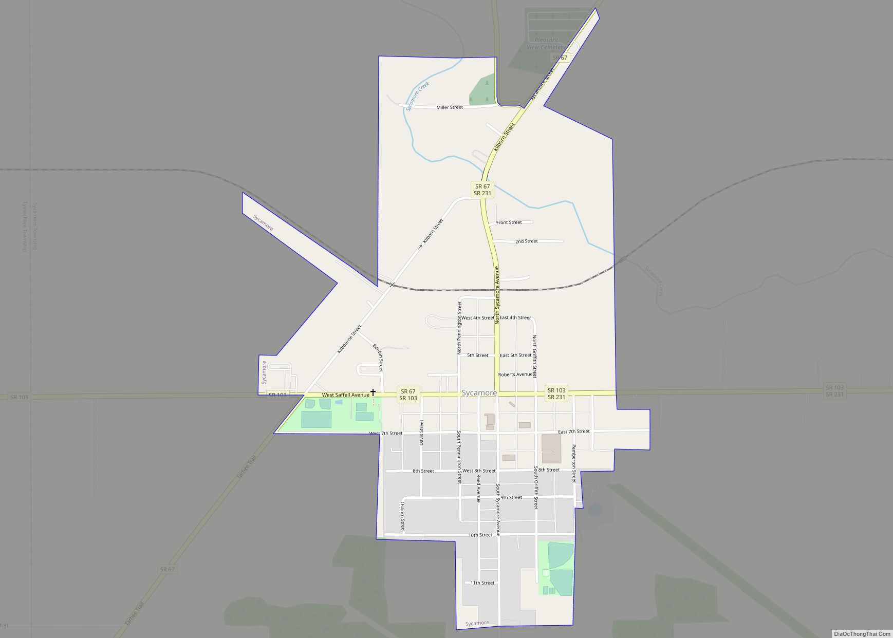
Online Interactive Map
Click on ![]() to view map in "full screen" mode.
to view map in "full screen" mode.
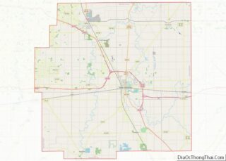
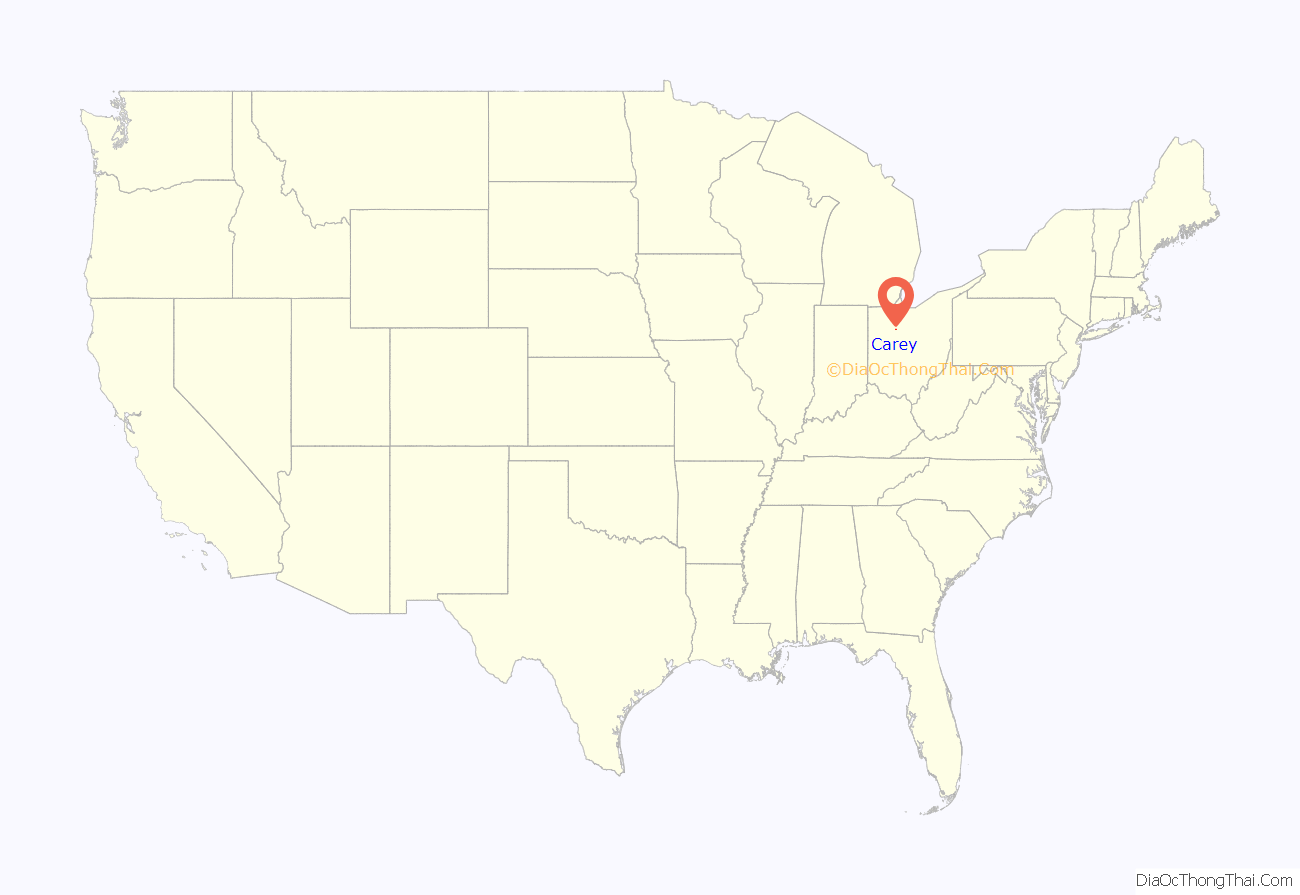
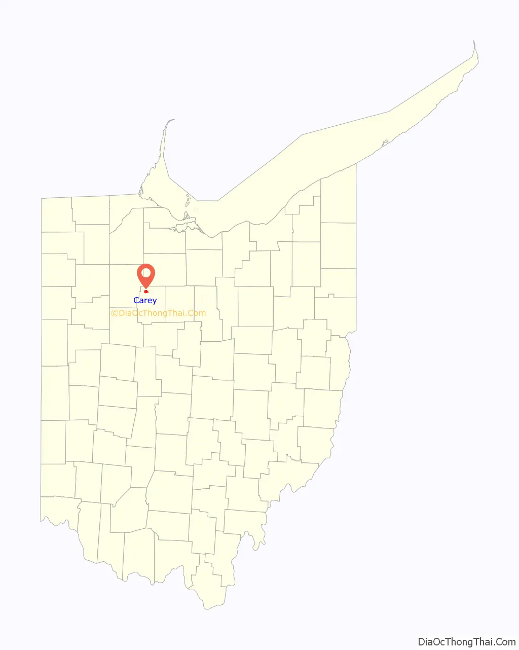
Carey location map. Where is Carey village?
History
The village is near Sheriden Cave, where habitation occurred around 11,000BC. The village of Carey was founded in 1843 when William M. Buell and R. M. Shuler laid out the town on land that they owned. The town was named after Judge John Carey, an early prominent resident.
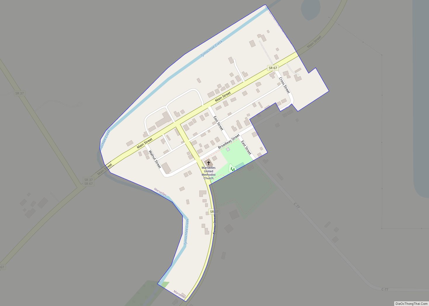
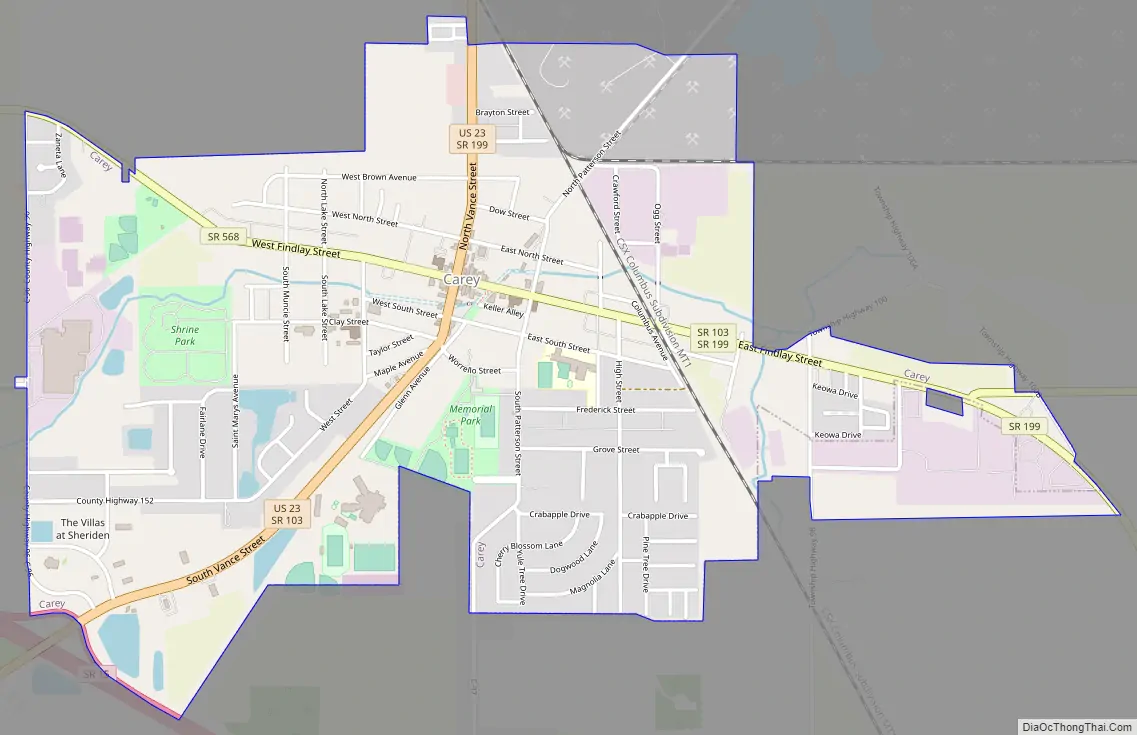
Carey Road Map
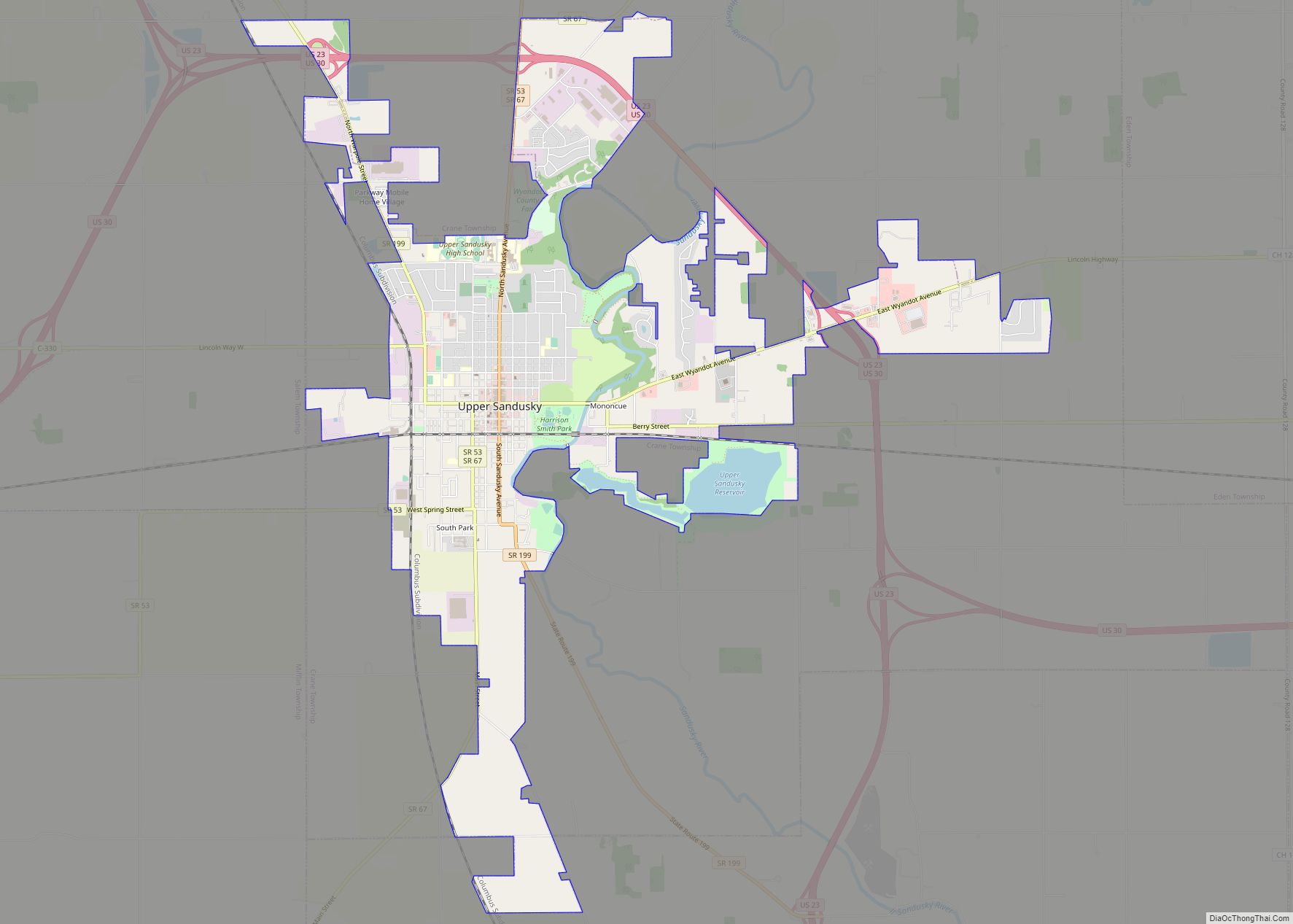
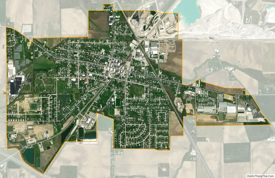
Carey city Satellite Map
Geography
Carey is located at 40°57′7″N 83°22′54″W / 40.95194°N 83.38167°W / 40.95194; -83.38167 (40.951978, -83.381673).
According to the United States Census Bureau, the village has a total area of 1.99 square miles (5.15 km), of which 1.98 square miles (5.13 km) is land and 0.01 square miles (0.03 km) is water.
See also
Map of Ohio State and its subdivision:- Adams
- Allen
- Ashland
- Ashtabula
- Athens
- Auglaize
- Belmont
- Brown
- Butler
- Carroll
- Champaign
- Clark
- Clermont
- Clinton
- Columbiana
- Coshocton
- Crawford
- Cuyahoga
- Darke
- Defiance
- Delaware
- Erie
- Fairfield
- Fayette
- Franklin
- Fulton
- Gallia
- Geauga
- Greene
- Guernsey
- Hamilton
- Hancock
- Hardin
- Harrison
- Henry
- Highland
- Hocking
- Holmes
- Huron
- Jackson
- Jefferson
- Knox
- Lake
- Lake Erie
- Lawrence
- Licking
- Logan
- Lorain
- Lucas
- Madison
- Mahoning
- Marion
- Medina
- Meigs
- Mercer
- Miami
- Monroe
- Montgomery
- Morgan
- Morrow
- Muskingum
- Noble
- Ottawa
- Paulding
- Perry
- Pickaway
- Pike
- Portage
- Preble
- Putnam
- Richland
- Ross
- Sandusky
- Scioto
- Seneca
- Shelby
- Stark
- Summit
- Trumbull
- Tuscarawas
- Union
- Van Wert
- Vinton
- Warren
- Washington
- Wayne
- Williams
- Wood
- Wyandot
- Alabama
- Alaska
- Arizona
- Arkansas
- California
- Colorado
- Connecticut
- Delaware
- District of Columbia
- Florida
- Georgia
- Hawaii
- Idaho
- Illinois
- Indiana
- Iowa
- Kansas
- Kentucky
- Louisiana
- Maine
- Maryland
- Massachusetts
- Michigan
- Minnesota
- Mississippi
- Missouri
- Montana
- Nebraska
- Nevada
- New Hampshire
- New Jersey
- New Mexico
- New York
- North Carolina
- North Dakota
- Ohio
- Oklahoma
- Oregon
- Pennsylvania
- Rhode Island
- South Carolina
- South Dakota
- Tennessee
- Texas
- Utah
- Vermont
- Virginia
- Washington
- West Virginia
- Wisconsin
- Wyoming