Celeryville is an unincorporated community and census-designated place (CDP) on the boundary between New Haven and Richmond townships in Huron County, Ohio, United States. Celeryville is located approximately 1 mile (1.6 km) south of Willard, and the community relies on Willard’s social services. As of the 2010 census the population of the community was 210.
| Name: | Celeryville CDP |
|---|---|
| LSAD Code: | 57 |
| LSAD Description: | CDP (suffix) |
| State: | Ohio |
| County: | Huron County |
| Elevation: | 943 ft (287 m) |
| Total Area: | 0.52 sq mi (1.34 km²) |
| Land Area: | 0.52 sq mi (1.34 km²) |
| Water Area: | 0.00 sq mi (0.00 km²) |
| Total Population: | 222 |
| Population Density: | 430.23/sq mi (165.98/km²) |
| ZIP code: | 44890 |
| Area code: | 419 |
| FIPS code: | 3912854 |
| GNISfeature ID: | 1038919 |
Online Interactive Map
Click on ![]() to view map in "full screen" mode.
to view map in "full screen" mode.
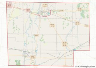
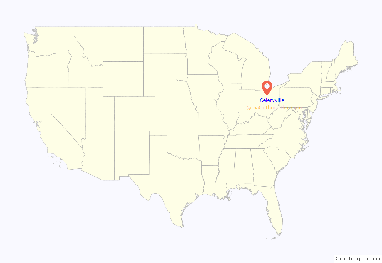
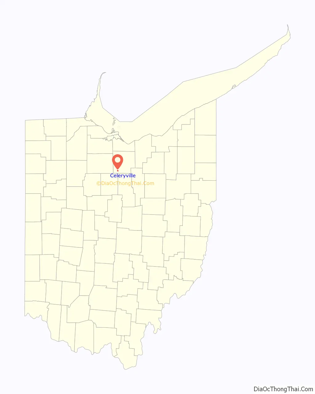
Celeryville location map. Where is Celeryville CDP?
History
Celeryville was originally settled chiefly by Dutch immigrants; the village was named for the celery farms near the original town site.
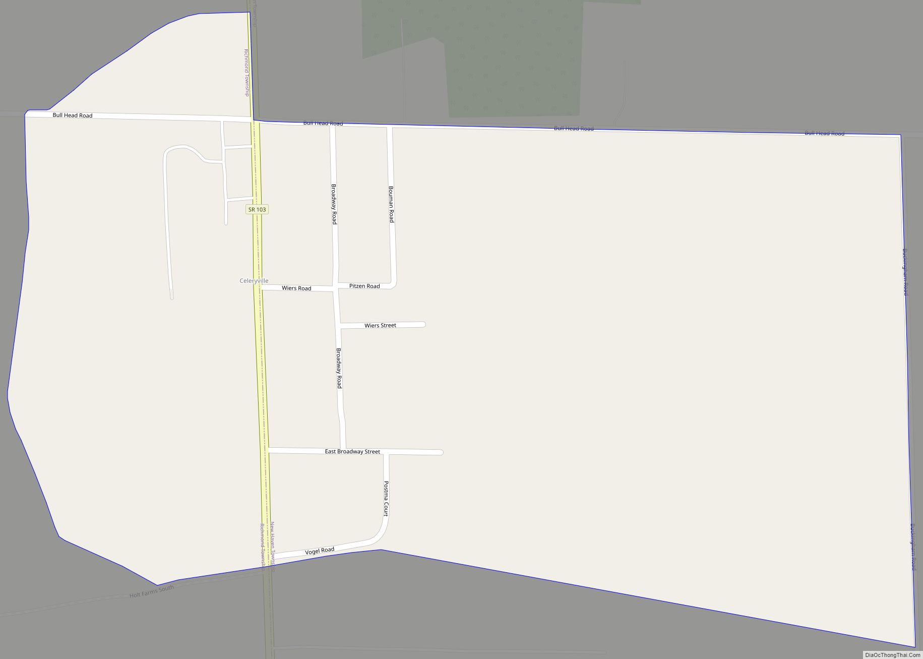
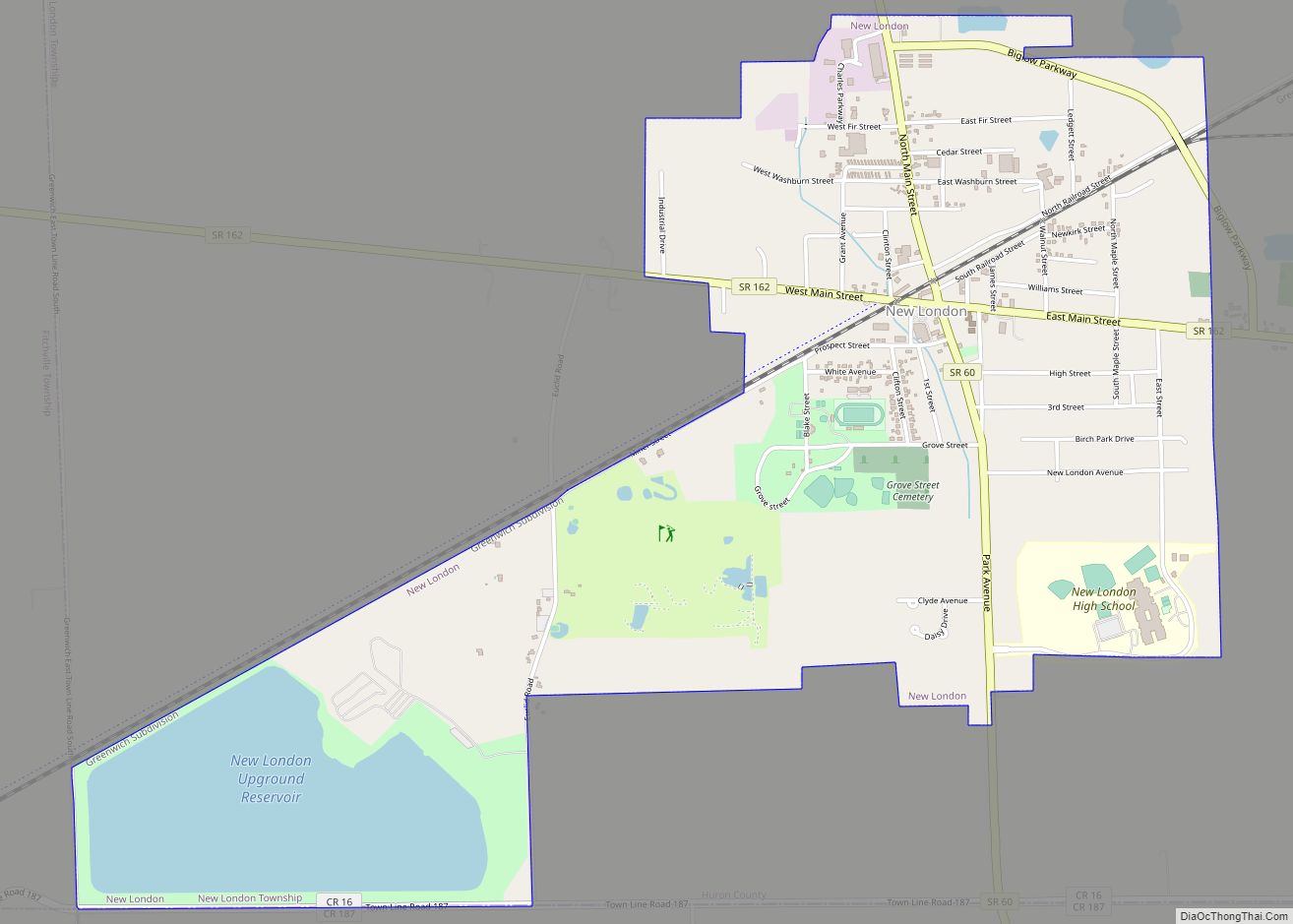
Celeryville Road Map
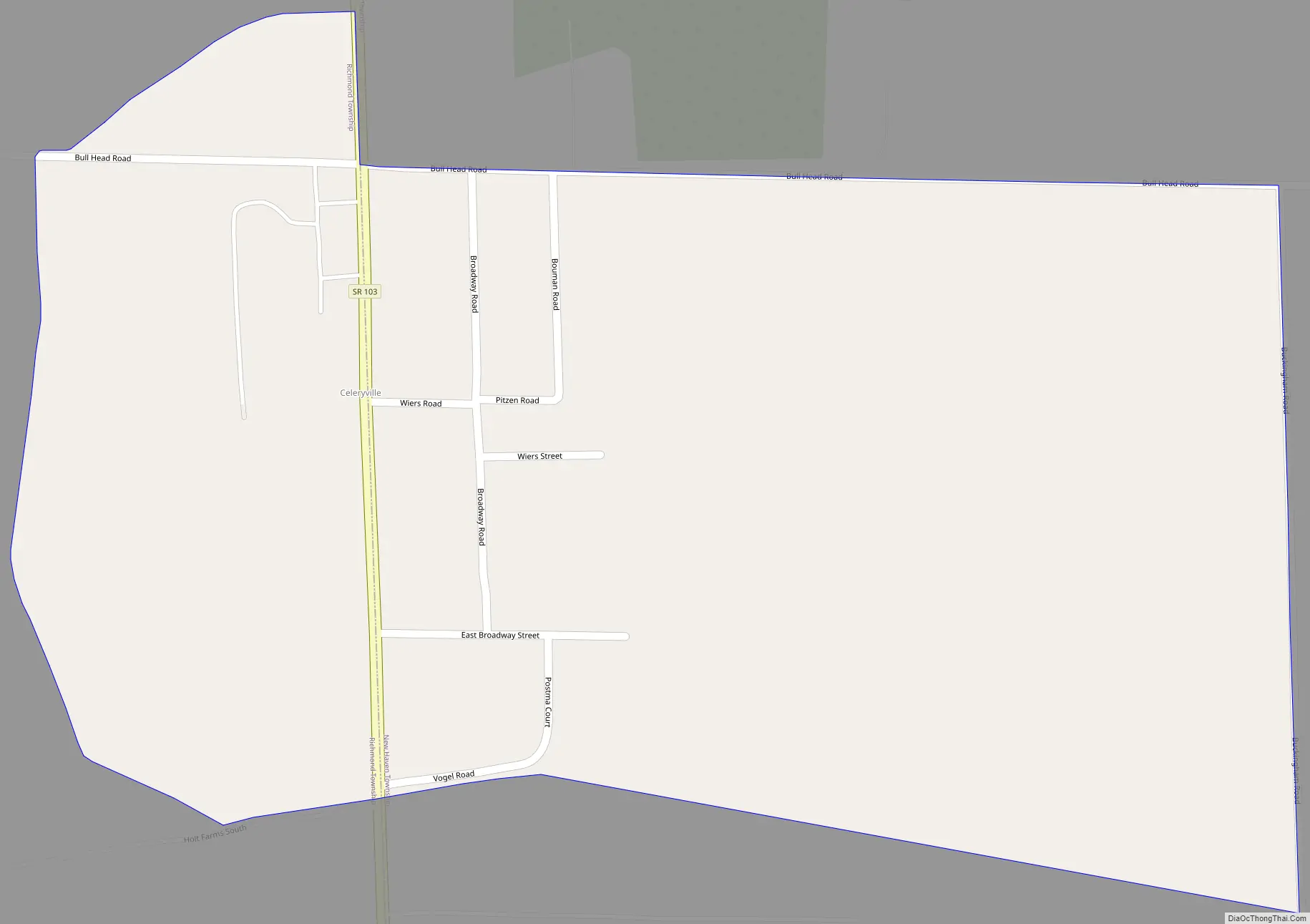
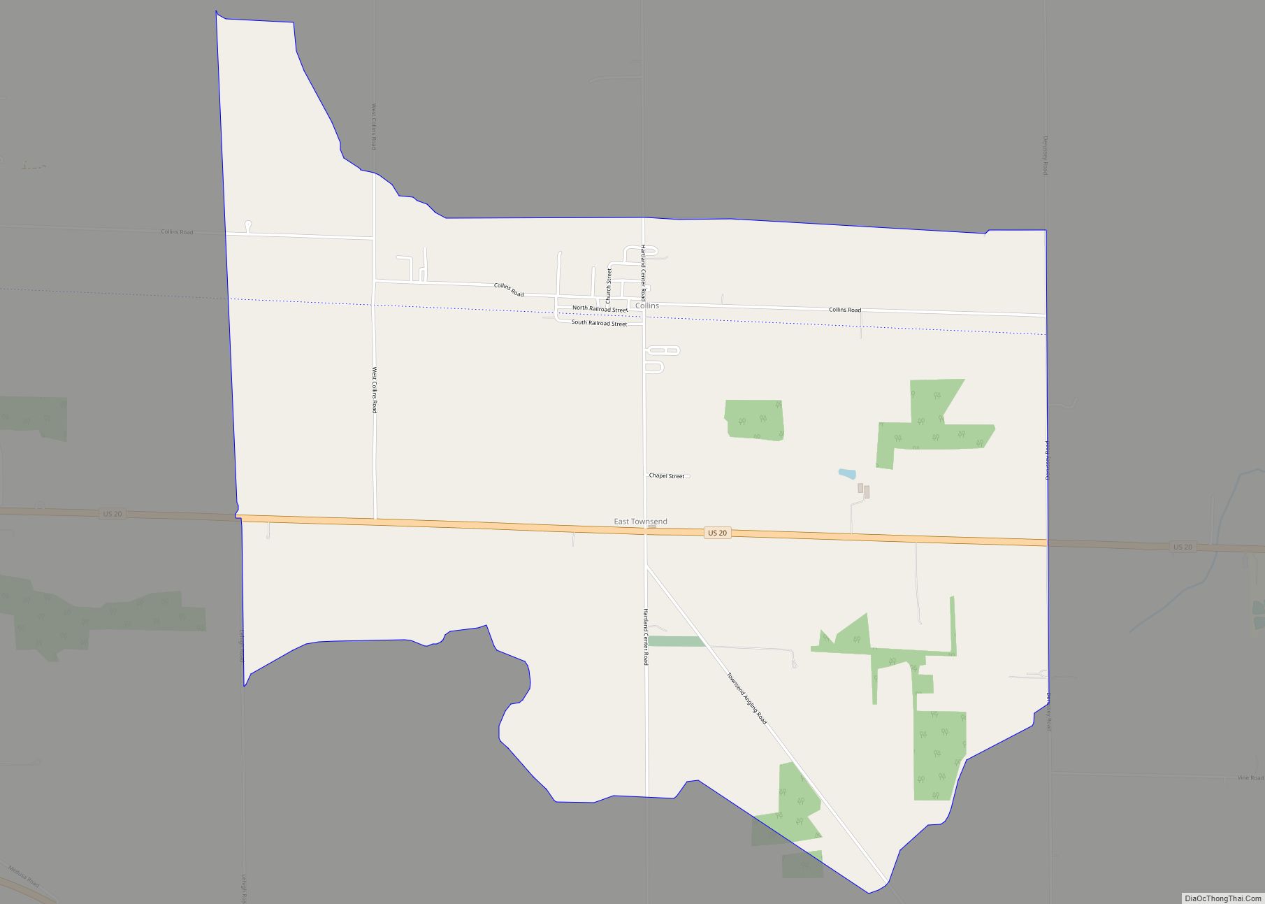
Celeryville city Satellite Map
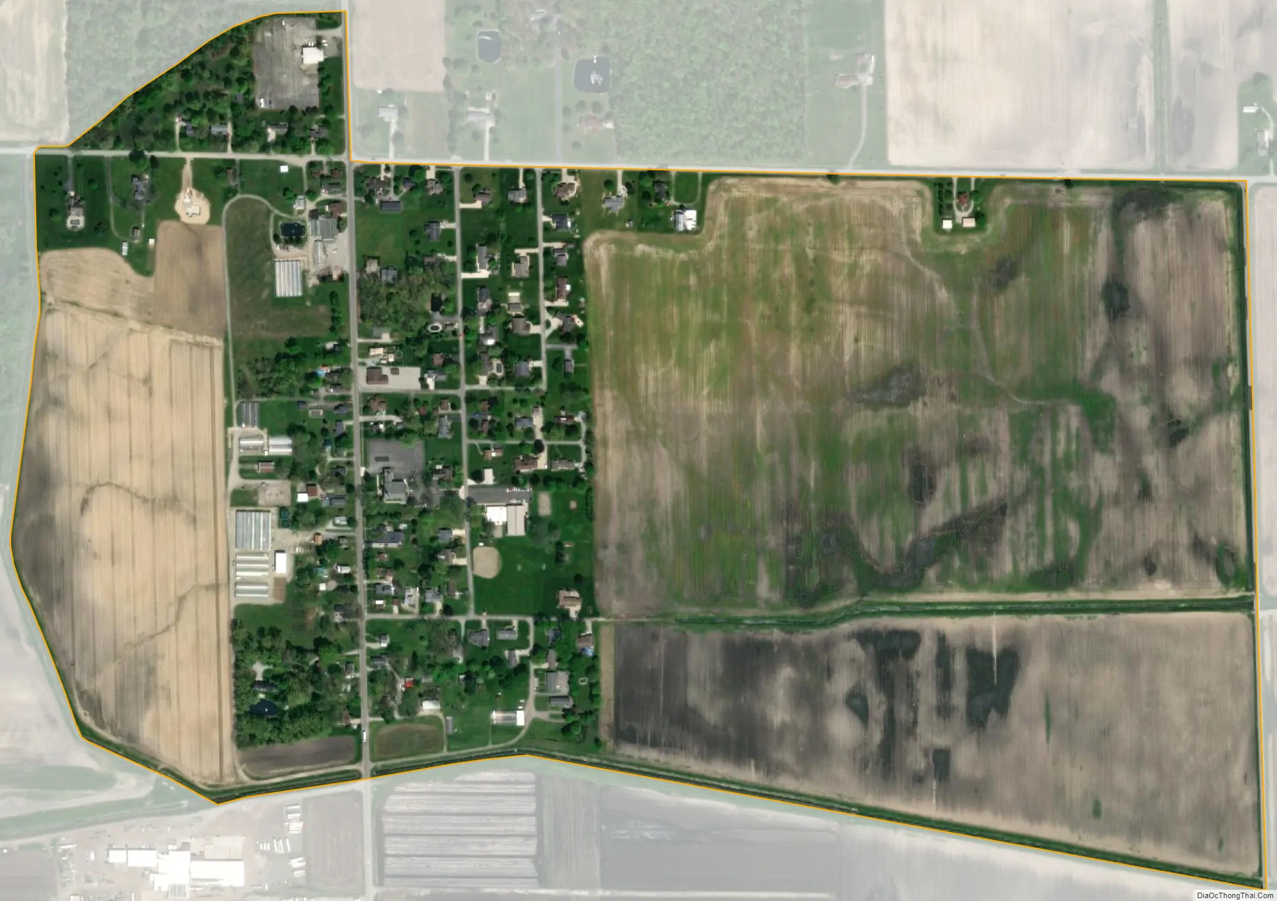
Geography
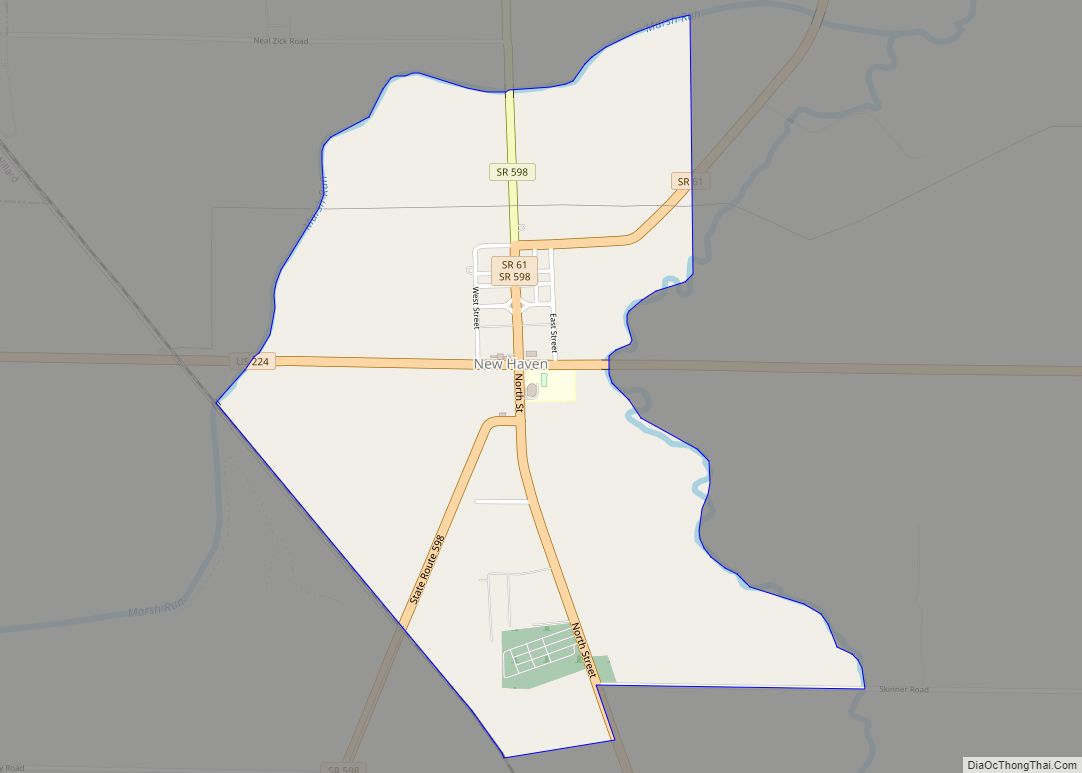
Celeryville is located in southwestern Huron County at 41.029N, -82.731W. The center of the community is on the border of New Haven Township and Richmond Township. State Route 103, following the township border, is the main road through the community, leading north 2 miles (3 km) to the center of Willard and southwest 11 miles (18 km) to New Washington. Bullhead Road forms the northern edge of Celeryville, leading east 2.5 miles (4.0 km) to New Haven.
According to the U.S. Census Bureau, the Celeryville CDP has an area of 0.52 square miles (1.34 km), all of it land.
Celeryville is a unique agricultural community. The soil of farmlands is muck. It is so rich that several years ago it caught fire. Farmers are able to grow vegetables much faster than other areas and can get one or two extra crops in a growing season. Ohio State University maintains an agricultural extension there. Migrant workers come yearly to tend and harvest the crops.
See also
Map of Ohio State and its subdivision:- Adams
- Allen
- Ashland
- Ashtabula
- Athens
- Auglaize
- Belmont
- Brown
- Butler
- Carroll
- Champaign
- Clark
- Clermont
- Clinton
- Columbiana
- Coshocton
- Crawford
- Cuyahoga
- Darke
- Defiance
- Delaware
- Erie
- Fairfield
- Fayette
- Franklin
- Fulton
- Gallia
- Geauga
- Greene
- Guernsey
- Hamilton
- Hancock
- Hardin
- Harrison
- Henry
- Highland
- Hocking
- Holmes
- Huron
- Jackson
- Jefferson
- Knox
- Lake
- Lake Erie
- Lawrence
- Licking
- Logan
- Lorain
- Lucas
- Madison
- Mahoning
- Marion
- Medina
- Meigs
- Mercer
- Miami
- Monroe
- Montgomery
- Morgan
- Morrow
- Muskingum
- Noble
- Ottawa
- Paulding
- Perry
- Pickaway
- Pike
- Portage
- Preble
- Putnam
- Richland
- Ross
- Sandusky
- Scioto
- Seneca
- Shelby
- Stark
- Summit
- Trumbull
- Tuscarawas
- Union
- Van Wert
- Vinton
- Warren
- Washington
- Wayne
- Williams
- Wood
- Wyandot
- Alabama
- Alaska
- Arizona
- Arkansas
- California
- Colorado
- Connecticut
- Delaware
- District of Columbia
- Florida
- Georgia
- Hawaii
- Idaho
- Illinois
- Indiana
- Iowa
- Kansas
- Kentucky
- Louisiana
- Maine
- Maryland
- Massachusetts
- Michigan
- Minnesota
- Mississippi
- Missouri
- Montana
- Nebraska
- Nevada
- New Hampshire
- New Jersey
- New Mexico
- New York
- North Carolina
- North Dakota
- Ohio
- Oklahoma
- Oregon
- Pennsylvania
- Rhode Island
- South Carolina
- South Dakota
- Tennessee
- Texas
- Utah
- Vermont
- Virginia
- Washington
- West Virginia
- Wisconsin
- Wyoming