New London is a village in Huron County, Ohio, United States. The population was 2,461 at the 2010 census.
The village motto, “The Right Place at the Right Time”, was chosen in the late twentieth century by former Mayor Dorothy Sholes.
New London has been designated Tree City USA by the Arbor Day Foundation.
| Name: | New London village |
|---|---|
| LSAD Code: | 47 |
| LSAD Description: | village (suffix) |
| State: | Ohio |
| County: | Huron County |
| Elevation: | 981 ft (299 m) |
| Total Area: | 2.54 sq mi (6.57 km²) |
| Land Area: | 2.21 sq mi (5.71 km²) |
| Water Area: | 0.33 sq mi (0.86 km²) |
| Total Population: | 2,416 |
| Population Density: | 1,095.69/sq mi (423.02/km²) |
| ZIP code: | 44851 |
| Area code: | 419 |
| FIPS code: | 3954908 |
| GNISfeature ID: | 1065472 |
| Website: | www.newlondonoh.com |
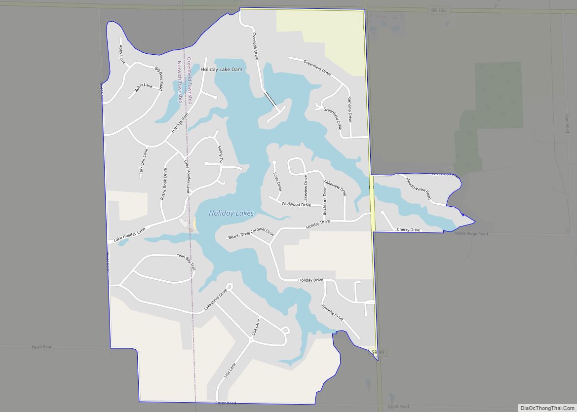
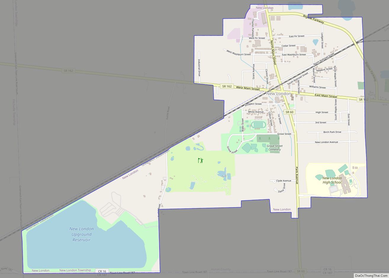
Online Interactive Map
Click on ![]() to view map in "full screen" mode.
to view map in "full screen" mode.
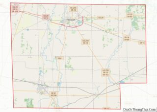
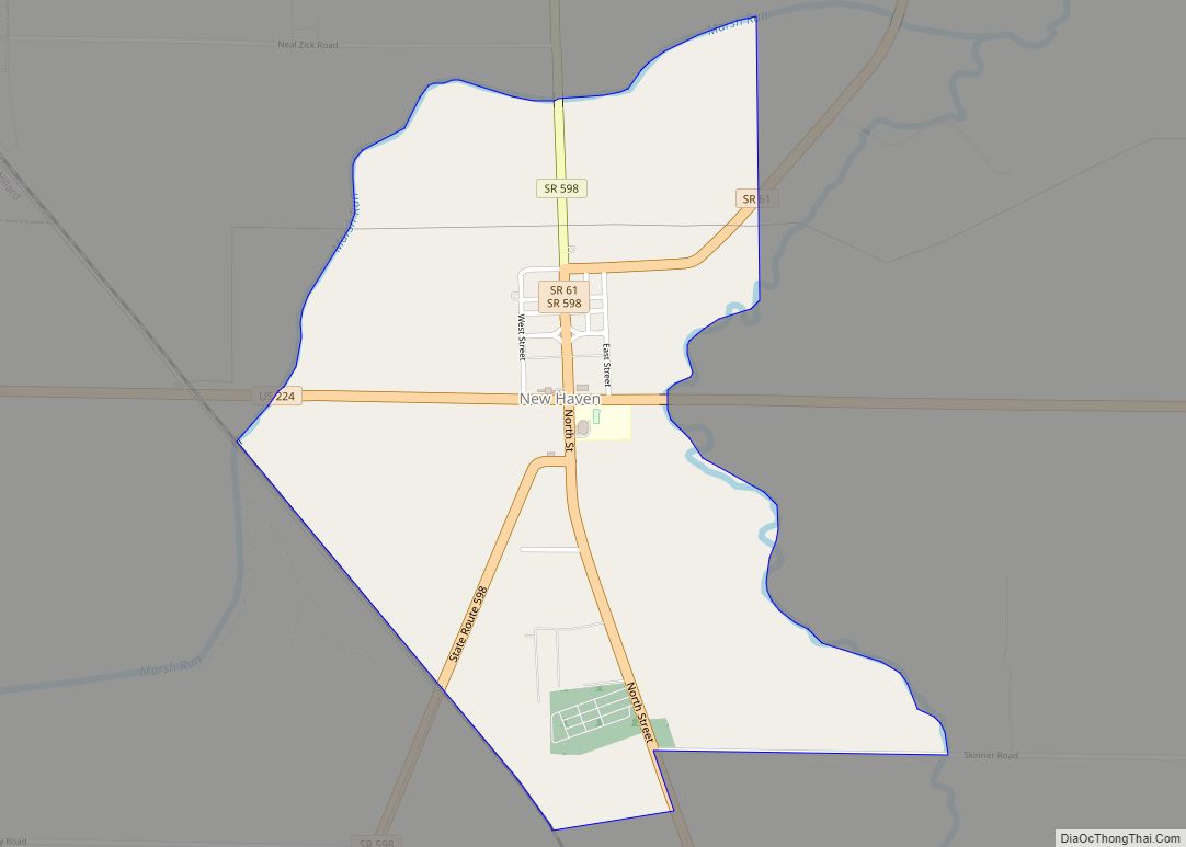
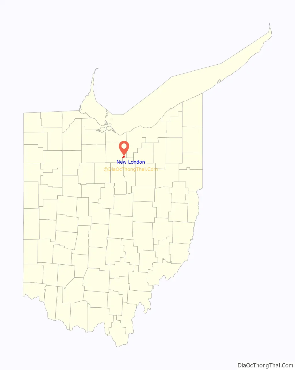
New London location map. Where is New London village?

History
The first permanent settlement at New London was made in 1816. Previously known as Ferretville in the early 19th century, the village was named after New London, Connecticut, the native home of a share of the early settlers. New London was incorporated in 1853.
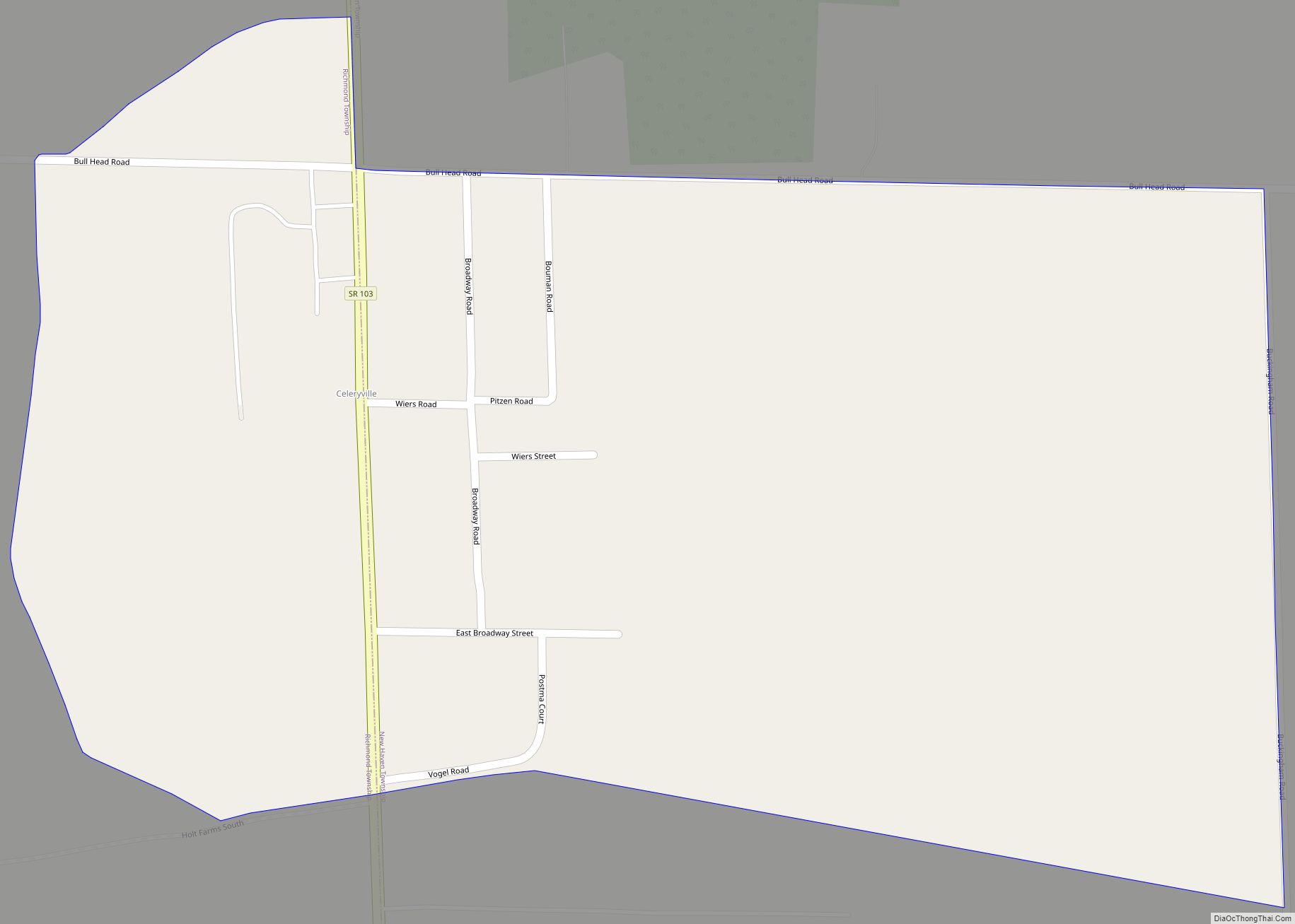
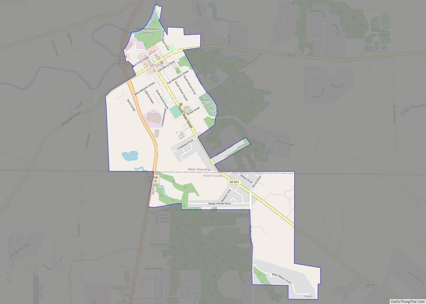
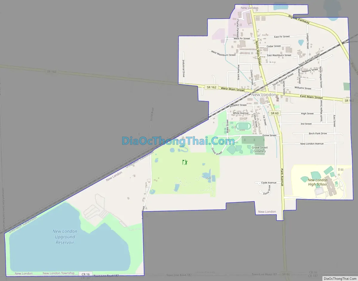
New London Road Map
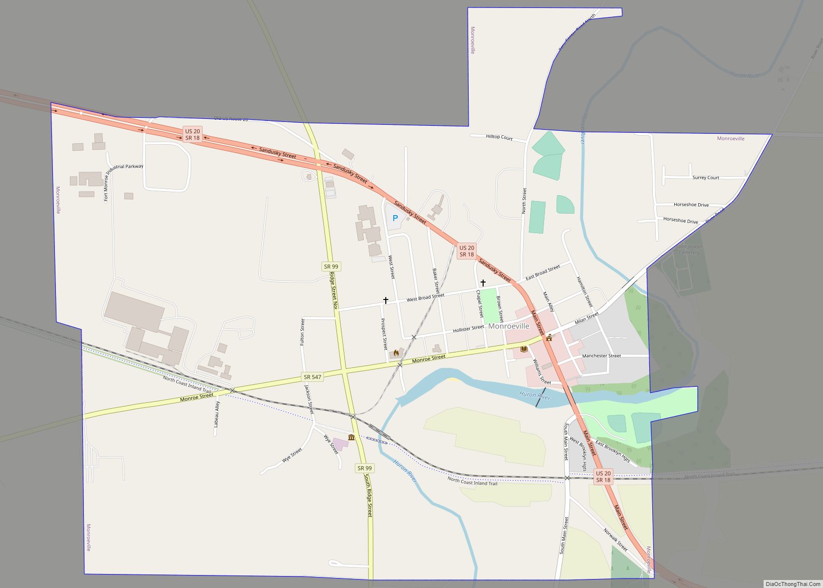
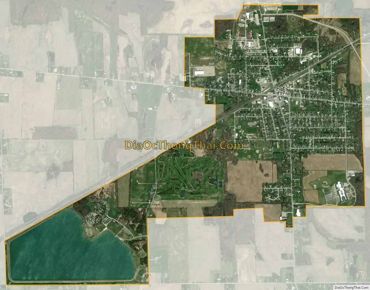
New London city Satellite Map
Geography
The village has a total area of 2.54 square miles (6.58 km), of which 2.21 square miles (5.72 km) is land and 0.33 square miles (0.85 km) is water. New London is bound to the north, west, and east by New London Township, and to the south by Ruggles Township in Ashland County. The village is located 24 miles (39 km) south of Lake Erie.
Cultural geography
New London’s economy is closely tied to agriculture and manufacturing. Although well within the Great Lakes region (a sub region of the Midwest) and arguably located at the center of the Rust Belt, significant influences from New England and the South have contributed to New London’s cultural identity. The village was founded by settlers from Connecticut (and to a lesser extent other parts of the Northeast) along with neighboring communities in the Firelands in the early nineteenth century. The village’s New England heritage is most evident in its architecture, the names of local families, and the presence of a village green (a common characteristic of many cities and towns in Northern Ohio).
In the mid twentieth century, at the climax of the manufacturing boom in the Great Lakes region, New London welcomed an influx of new residents from the Appalachian South – primarily Eastern Kentucky – to work in fields and factories locally and in nearby metropolitan Cleveland. Today, the influence of these Southerners is most evident in the hospitality and kindness of New London’s residents, and the close-knit community that has grown up in the midst of such diversity.
See also
Map of Ohio State and its subdivision:- Adams
- Allen
- Ashland
- Ashtabula
- Athens
- Auglaize
- Belmont
- Brown
- Butler
- Carroll
- Champaign
- Clark
- Clermont
- Clinton
- Columbiana
- Coshocton
- Crawford
- Cuyahoga
- Darke
- Defiance
- Delaware
- Erie
- Fairfield
- Fayette
- Franklin
- Fulton
- Gallia
- Geauga
- Greene
- Guernsey
- Hamilton
- Hancock
- Hardin
- Harrison
- Henry
- Highland
- Hocking
- Holmes
- Huron
- Jackson
- Jefferson
- Knox
- Lake
- Lake Erie
- Lawrence
- Licking
- Logan
- Lorain
- Lucas
- Madison
- Mahoning
- Marion
- Medina
- Meigs
- Mercer
- Miami
- Monroe
- Montgomery
- Morgan
- Morrow
- Muskingum
- Noble
- Ottawa
- Paulding
- Perry
- Pickaway
- Pike
- Portage
- Preble
- Putnam
- Richland
- Ross
- Sandusky
- Scioto
- Seneca
- Shelby
- Stark
- Summit
- Trumbull
- Tuscarawas
- Union
- Van Wert
- Vinton
- Warren
- Washington
- Wayne
- Williams
- Wood
- Wyandot
- Alabama
- Alaska
- Arizona
- Arkansas
- California
- Colorado
- Connecticut
- Delaware
- District of Columbia
- Florida
- Georgia
- Hawaii
- Idaho
- Illinois
- Indiana
- Iowa
- Kansas
- Kentucky
- Louisiana
- Maine
- Maryland
- Massachusetts
- Michigan
- Minnesota
- Mississippi
- Missouri
- Montana
- Nebraska
- Nevada
- New Hampshire
- New Jersey
- New Mexico
- New York
- North Carolina
- North Dakota
- Ohio
- Oklahoma
- Oregon
- Pennsylvania
- Rhode Island
- South Carolina
- South Dakota
- Tennessee
- Texas
- Utah
- Vermont
- Virginia
- Washington
- West Virginia
- Wisconsin
- Wyoming