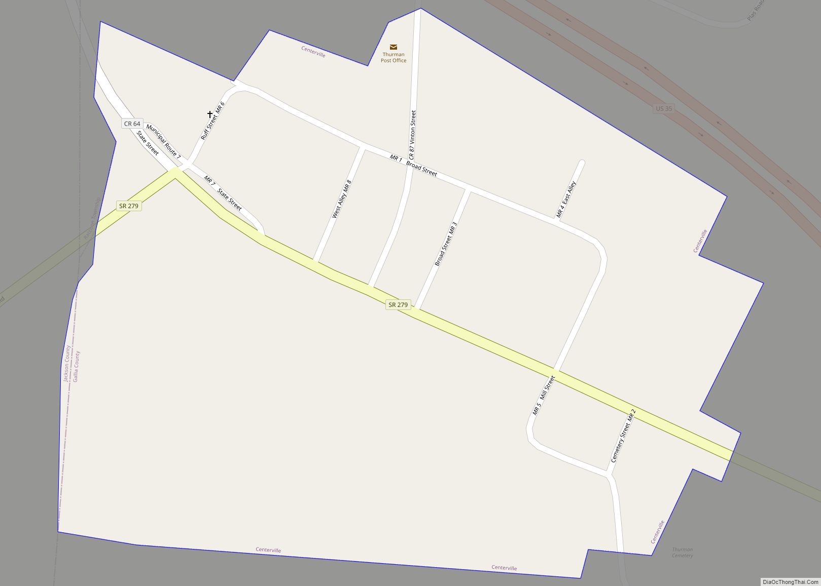
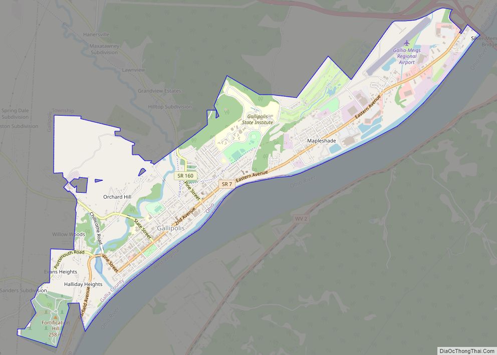
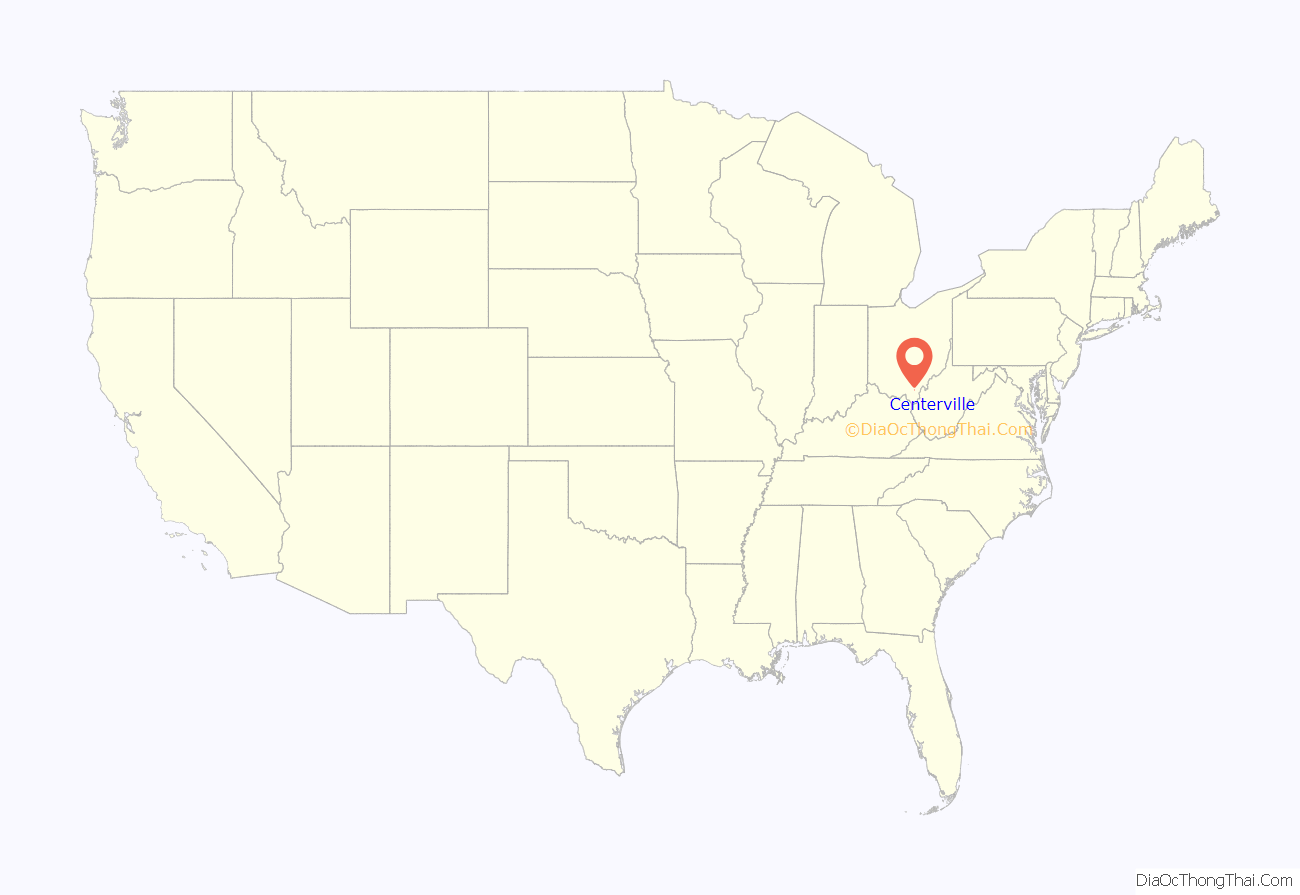
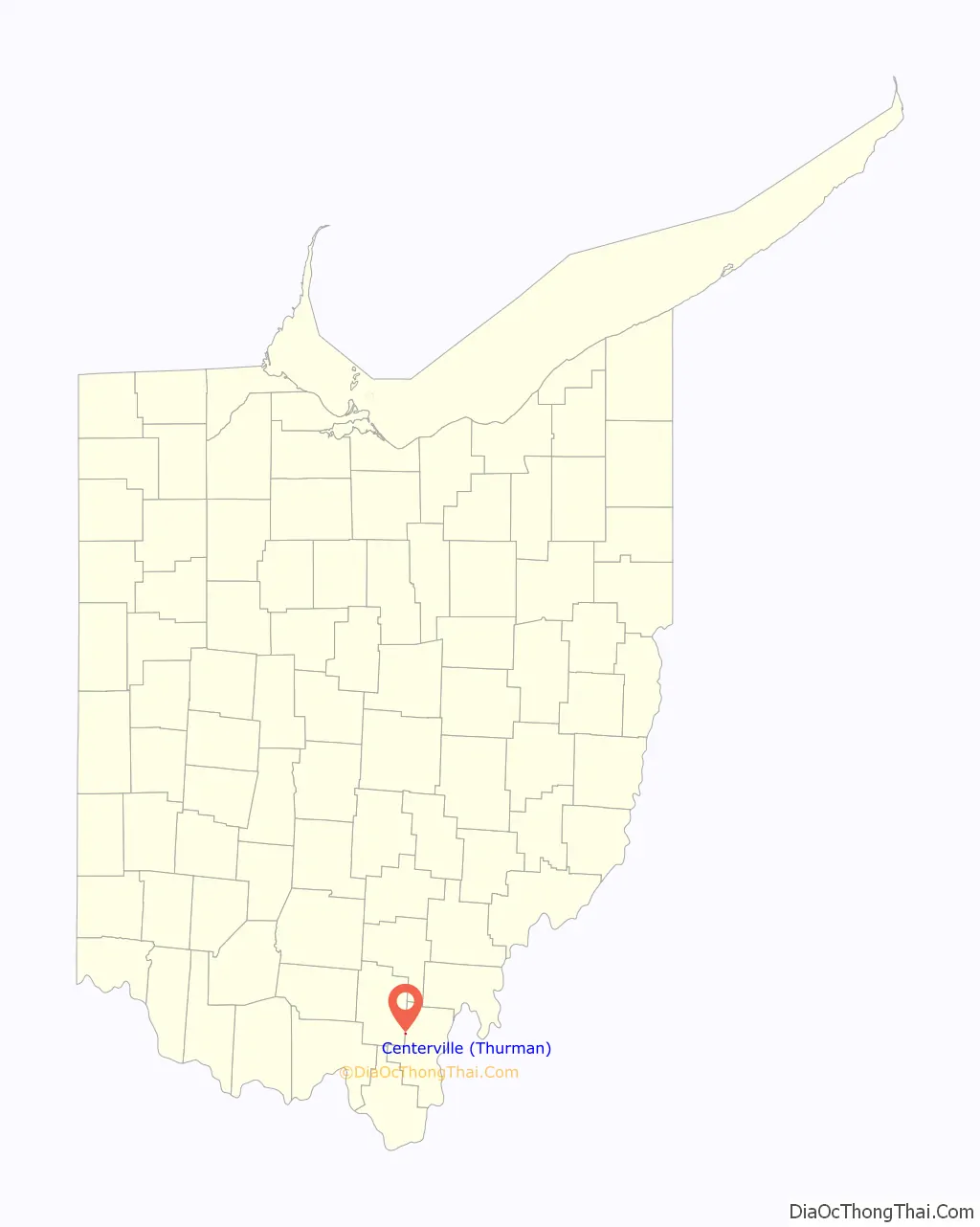
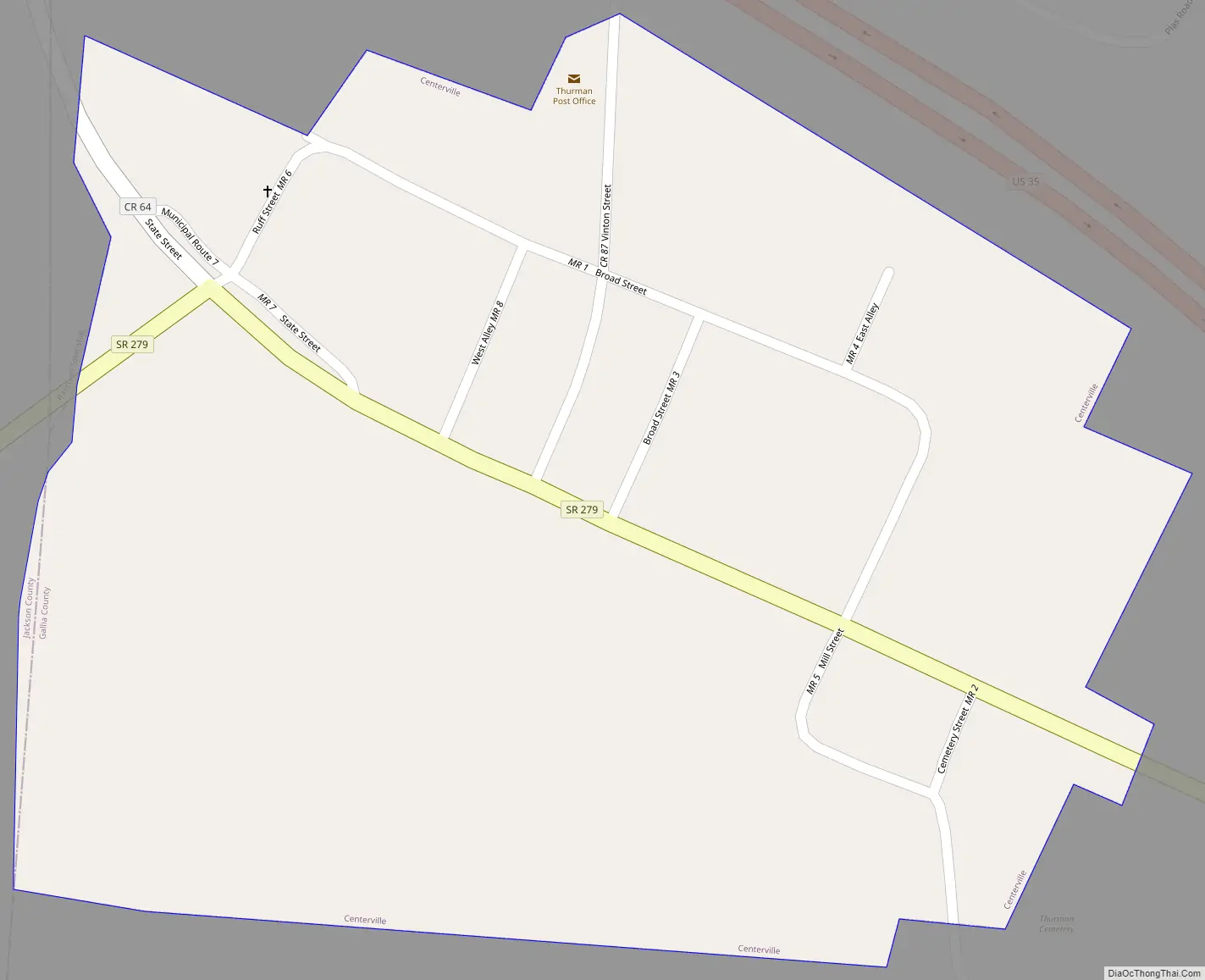
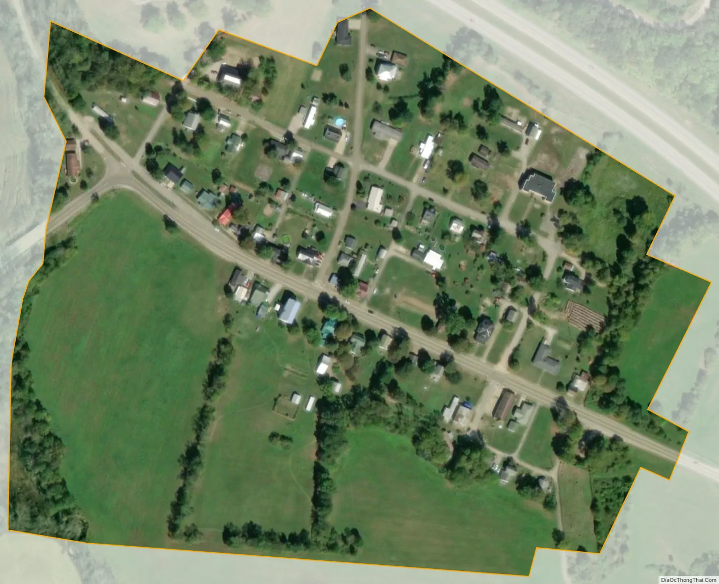
Centerville, also known as Thurman, is a village in Gallia County, Ohio, United States. The population was 87 at the 2020 census. It is part of the rural Point Pleasant micropolitan area. It is located near U.S. Route 35 near the eastern terminus of State Route 279 as the highways parallel each other for about 1/2 mile.
| Name: | Centerville (Thurman) village |
|---|---|
| LSAD Code: | 47 |
| LSAD Description: | village (suffix) |
| State: | Ohio |
| County: | Gallia County |
| Total Area: | 0.10 sq mi (0.26 km²) |
| Land Area: | 0.10 sq mi (0.26 km²) |
| Water Area: | 0.00 sq mi (0.00 km²) |
| Total Population: | 87 |
| Population Density: | 870.00/sq mi (335.06/km²) |
| FIPS code: | 3913169 |
Online Interactive Map
Click on ![]() to view map in "full screen" mode.
to view map in "full screen" mode.
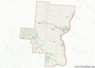
Centerville location map. Where is Centerville (Thurman) village?
History
Centerville was platted in 1835. The community originally was settled chiefly by Welsh immigrants.
Centerville Road Map
Centerville city Satellite Map
Geography
Centerville is located at 38°53′55″N 82°26′45″W / 38.89861°N 82.44583°W / 38.89861; -82.44583 (38.898729, -82.445901).
According to the United States Census Bureau, the village has a total area of 0.10 square miles (0.26 km), all land.
See also
Map of Ohio State and its subdivision:- Adams
- Allen
- Ashland
- Ashtabula
- Athens
- Auglaize
- Belmont
- Brown
- Butler
- Carroll
- Champaign
- Clark
- Clermont
- Clinton
- Columbiana
- Coshocton
- Crawford
- Cuyahoga
- Darke
- Defiance
- Delaware
- Erie
- Fairfield
- Fayette
- Franklin
- Fulton
- Gallia
- Geauga
- Greene
- Guernsey
- Hamilton
- Hancock
- Hardin
- Harrison
- Henry
- Highland
- Hocking
- Holmes
- Huron
- Jackson
- Jefferson
- Knox
- Lake
- Lake Erie
- Lawrence
- Licking
- Logan
- Lorain
- Lucas
- Madison
- Mahoning
- Marion
- Medina
- Meigs
- Mercer
- Miami
- Monroe
- Montgomery
- Morgan
- Morrow
- Muskingum
- Noble
- Ottawa
- Paulding
- Perry
- Pickaway
- Pike
- Portage
- Preble
- Putnam
- Richland
- Ross
- Sandusky
- Scioto
- Seneca
- Shelby
- Stark
- Summit
- Trumbull
- Tuscarawas
- Union
- Van Wert
- Vinton
- Warren
- Washington
- Wayne
- Williams
- Wood
- Wyandot
- Alabama
- Alaska
- Arizona
- Arkansas
- California
- Colorado
- Connecticut
- Delaware
- District of Columbia
- Florida
- Georgia
- Hawaii
- Idaho
- Illinois
- Indiana
- Iowa
- Kansas
- Kentucky
- Louisiana
- Maine
- Maryland
- Massachusetts
- Michigan
- Minnesota
- Mississippi
- Missouri
- Montana
- Nebraska
- Nevada
- New Hampshire
- New Jersey
- New Mexico
- New York
- North Carolina
- North Dakota
- Ohio
- Oklahoma
- Oregon
- Pennsylvania
- Rhode Island
- South Carolina
- South Dakota
- Tennessee
- Texas
- Utah
- Vermont
- Virginia
- Washington
- West Virginia
- Wisconsin
- Wyoming