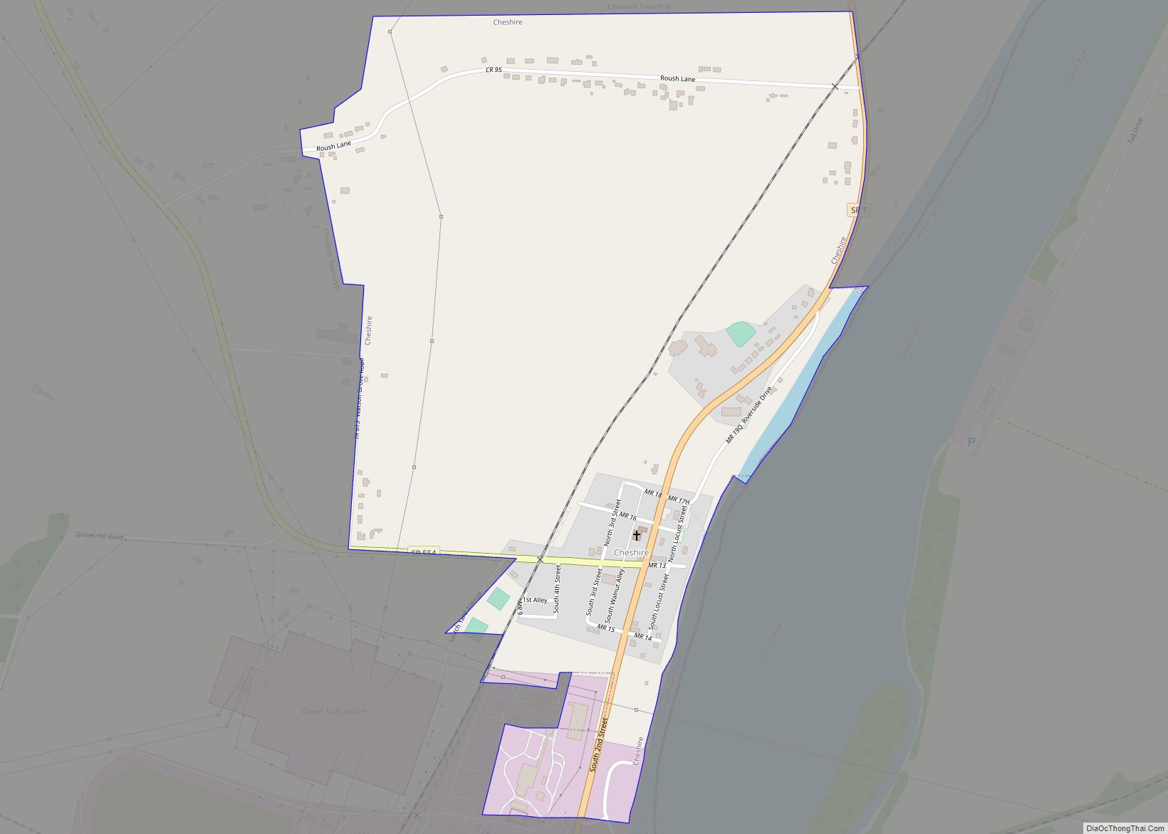
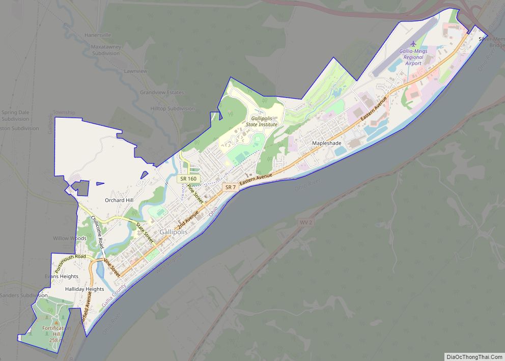
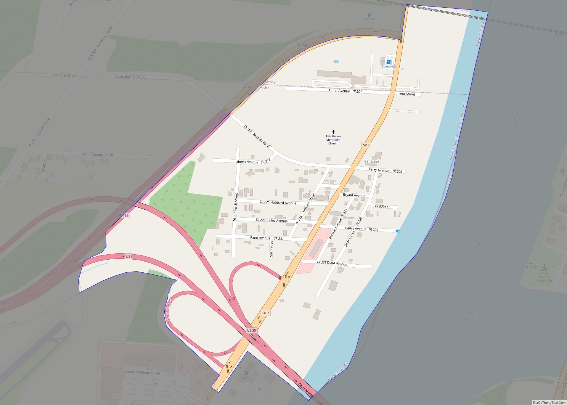
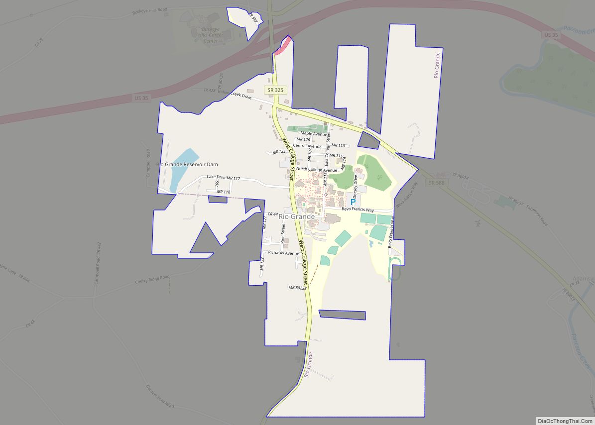
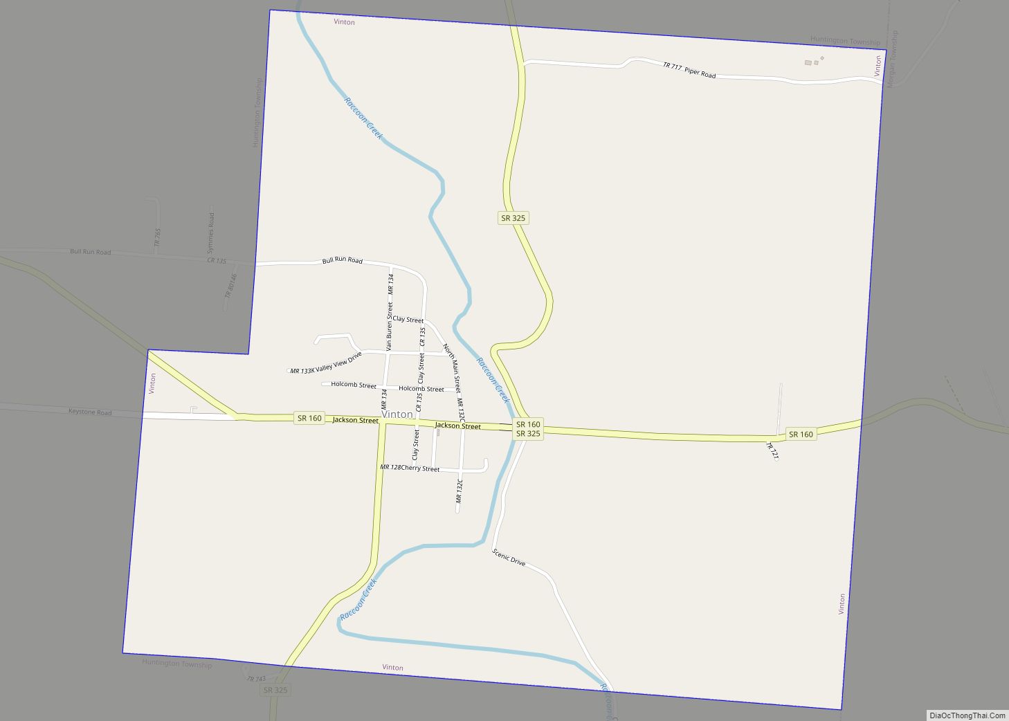
Cheshire /ˈtʃɛʃər/ is a village in Gallia County, Ohio, United States, along the Ohio River. The population was 123 at the 2020 census. It is part of the rural Point Pleasant micropolitan area.
| Name: | Cheshire village |
|---|---|
| LSAD Code: | 47 |
| LSAD Description: | village (suffix) |
| State: | Ohio |
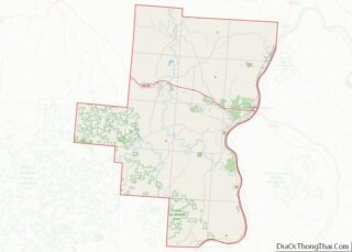
| County: | Gallia County |
| Elevation: | 568 ft (173 m) |
| Total Area: | 0.78 sq mi (2.03 km²) |
| Land Area: | 0.77 sq mi (2.00 km²) |
| Water Area: | 0.01 sq mi (0.03 km²) |
| Total Population: | 123 |
| Population Density: | 159.74/sq mi (61.65/km²) |
| ZIP code: | 45620 |
| Area code: | 740 |
| FIPS code: | 3913932 |
| GNISfeature ID: | 1039033 |
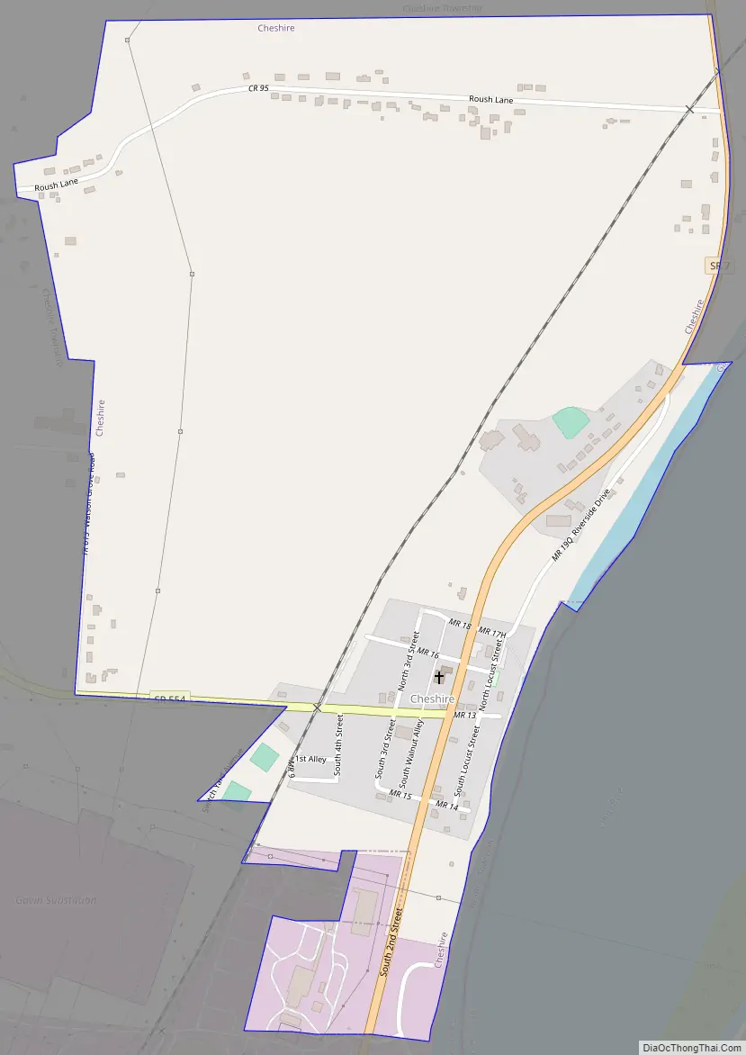
Online Interactive Map
Click on ![]() to view map in "full screen" mode.
to view map in "full screen" mode.
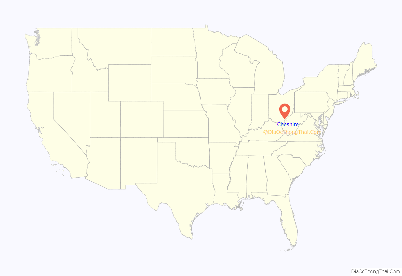
Cheshire location map. Where is Cheshire village?
History
Cheshire, Ohio, was named for the county of Cheshire in England.
Town buyout by American Electric Power
By 2000, the village was plagued by toxic sulfurous gas clouds and acid rain from the nearby coal-fired Gavin Power Plant. Residents hired lawyers requesting a buyout. The plant’s owner, American Electric Power (AEP), investigated the claims and found that no long-term injuries/illnesses resulted from the cloud but decided it could use the land to expand plant property for future technologies. In 2002, AEP reached a settlement with residents that was effectively a $20 million buyout. Most of the 221 residents agreed to leave the town and absolve the company from future property or health claims, while some remain through either deals with the company or refusal to sell their property. The company announced plans to demolish the existing structures and construct a dock facility for coal barges, but has not yet begun work on constructing them.
In 2004, the remaining villagers of Cheshire and residents of the surrounding area took steps to expand the village limits by annexing properties within about a mile north and west of the previous village limits.
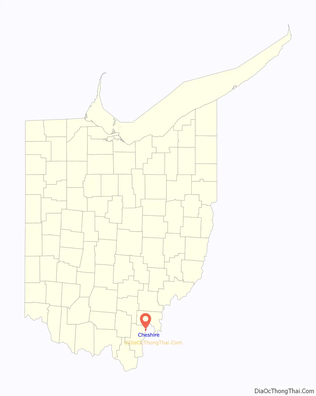
Cheshire Road Map
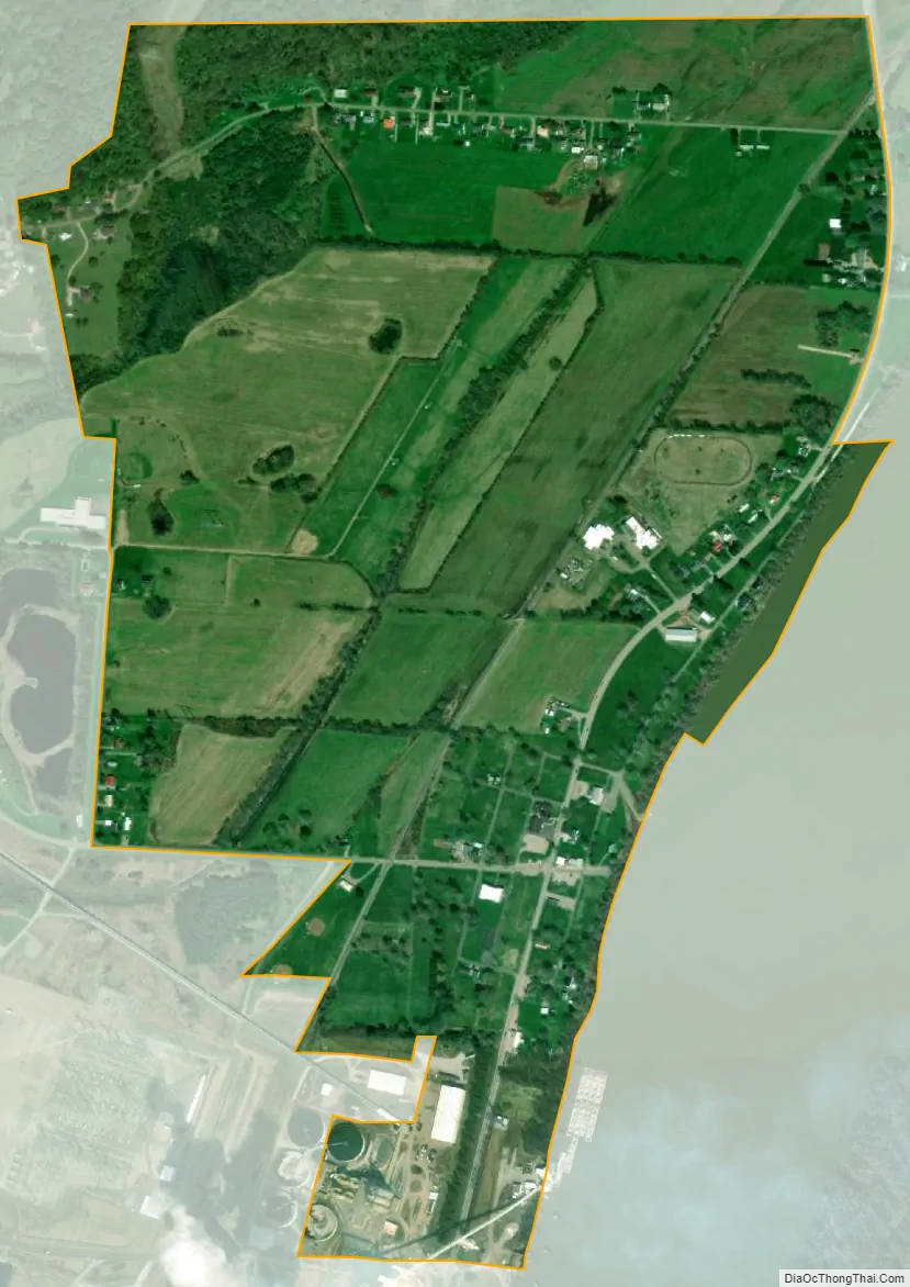
Cheshire city Satellite Map
Geography
Cheshire is located at 38°56′44″N 82°06′43″W / 38.945520°N 82.111891°W / 38.945520; -82.111891.
According to the United States Census Bureau, the village has a total area of 0.78 square miles (2.02 km), of which 0.77 square miles (1.99 km) is land and 0.01 square miles (0.03 km) is water.
See also
Map of Ohio State and its subdivision:- Adams
- Allen
- Ashland
- Ashtabula
- Athens
- Auglaize
- Belmont
- Brown
- Butler
- Carroll
- Champaign
- Clark
- Clermont
- Clinton
- Columbiana
- Coshocton
- Crawford
- Cuyahoga
- Darke
- Defiance
- Delaware
- Erie
- Fairfield
- Fayette
- Franklin
- Fulton
- Gallia
- Geauga
- Greene
- Guernsey
- Hamilton
- Hancock
- Hardin
- Harrison
- Henry
- Highland
- Hocking
- Holmes
- Huron
- Jackson
- Jefferson
- Knox
- Lake
- Lake Erie
- Lawrence
- Licking
- Logan
- Lorain
- Lucas
- Madison
- Mahoning
- Marion
- Medina
- Meigs
- Mercer
- Miami
- Monroe
- Montgomery
- Morgan
- Morrow
- Muskingum
- Noble
- Ottawa
- Paulding
- Perry
- Pickaway
- Pike
- Portage
- Preble
- Putnam
- Richland
- Ross
- Sandusky
- Scioto
- Seneca
- Shelby
- Stark
- Summit
- Trumbull
- Tuscarawas
- Union
- Van Wert
- Vinton
- Warren
- Washington
- Wayne
- Williams
- Wood
- Wyandot
- Alabama
- Alaska
- Arizona
- Arkansas
- California
- Colorado
- Connecticut
- Delaware
- District of Columbia
- Florida
- Georgia
- Hawaii
- Idaho
- Illinois
- Indiana
- Iowa
- Kansas
- Kentucky
- Louisiana
- Maine
- Maryland
- Massachusetts
- Michigan
- Minnesota
- Mississippi
- Missouri
- Montana
- Nebraska
- Nevada
- New Hampshire
- New Jersey
- New Mexico
- New York
- North Carolina
- North Dakota
- Ohio
- Oklahoma
- Oregon
- Pennsylvania
- Rhode Island
- South Carolina
- South Dakota
- Tennessee
- Texas
- Utah
- Vermont
- Virginia
- Washington
- West Virginia
- Wisconsin
- Wyoming