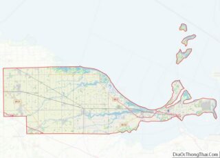
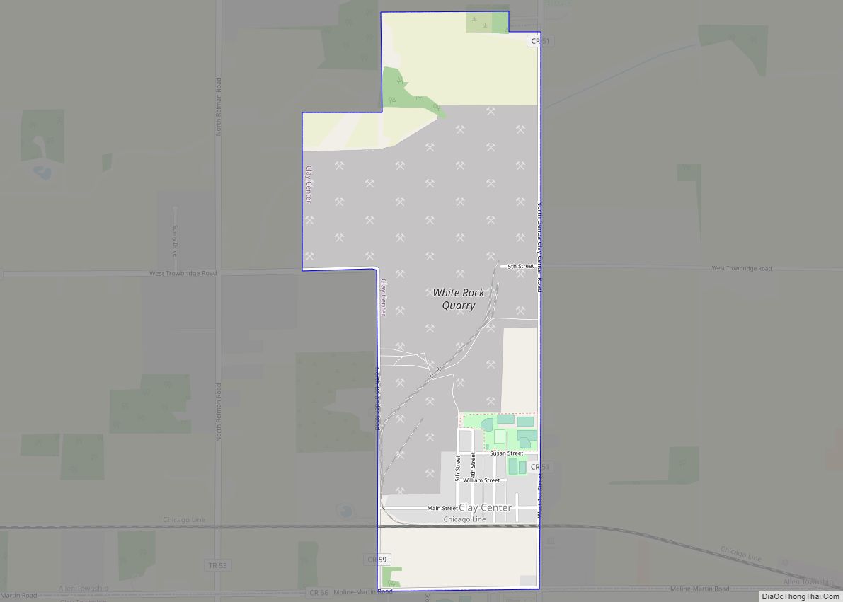
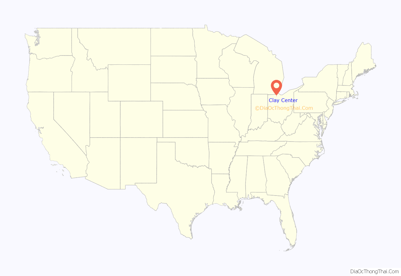
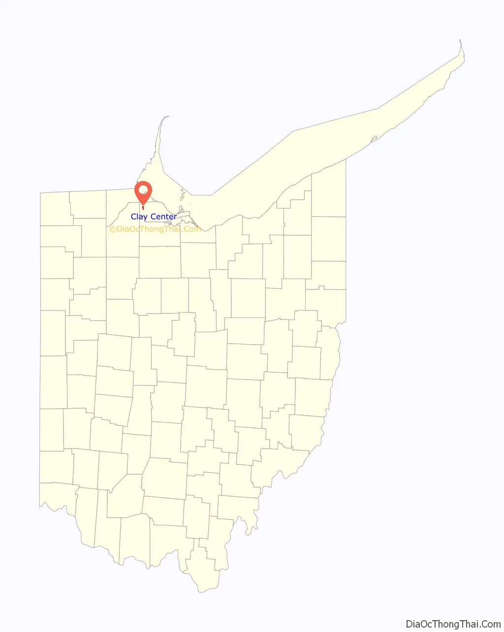
Clay Center is a village in Ottawa County, Ohio, United States. The population was 276 at the 2010 census.
| Name: | Clay Center village |
|---|---|
| LSAD Code: | 47 |
| LSAD Description: | village (suffix) |
| State: | Ohio |
| County: | Ottawa County |
| Elevation: | 610 ft (186 m) |
| Total Area: | 1.01 sq mi (2.62 km²) |
| Land Area: | 1.01 sq mi (2.62 km²) |
| Water Area: | 0.00 sq mi (0.00 km²) |
| Total Population: | 262 |
| Population Density: | 258.64/sq mi (99.82/km²) |
| ZIP code: | 43408 |
| Area code: | 419 |
| FIPS code: | 3915588 |
| GNISfeature ID: | 1048603 |
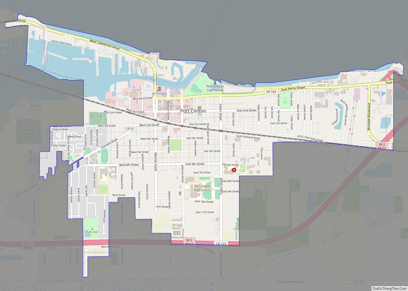
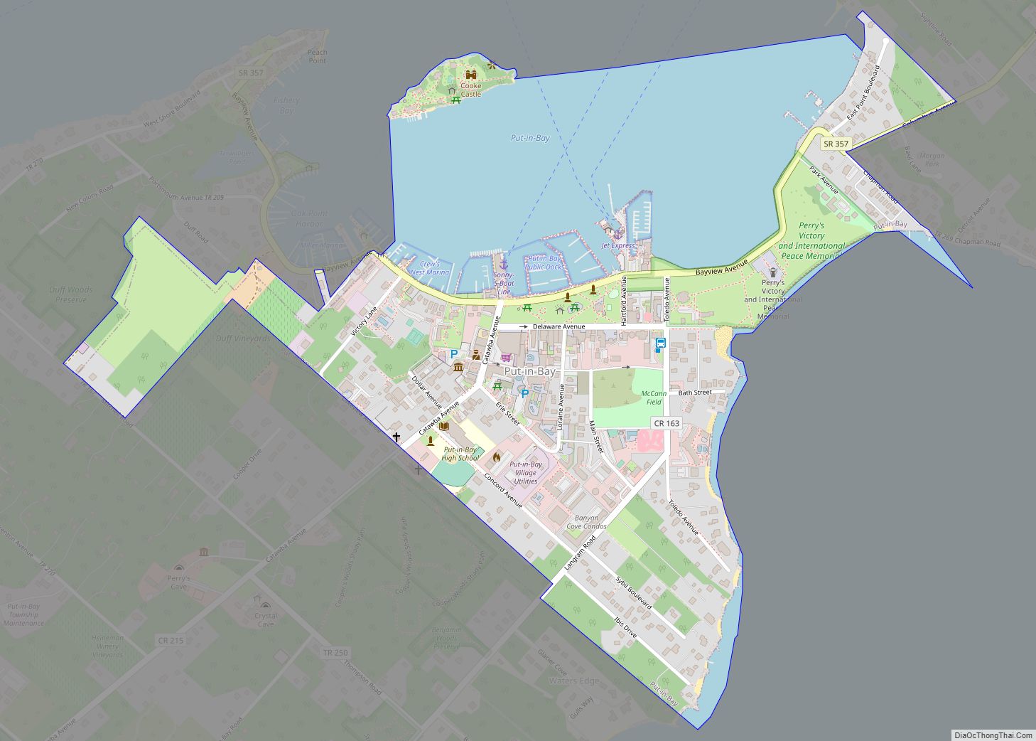
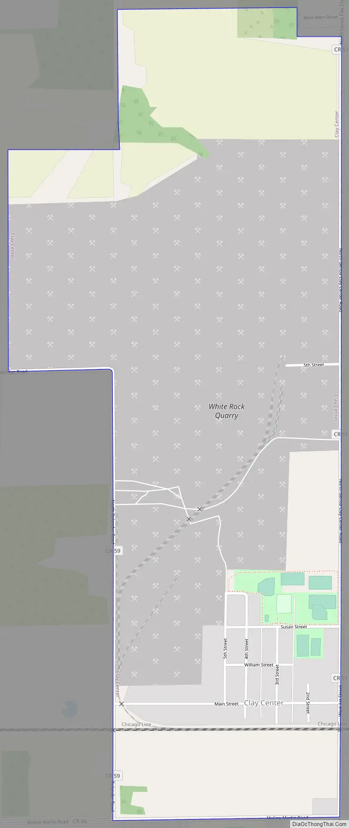
Online Interactive Map
Click on ![]() to view map in "full screen" mode.
to view map in "full screen" mode.
Clay Center location map. Where is Clay Center village?
History
Clay Center derives its name from originally being the center of a larger Clay Township. When Ottawa County was founded in 1840, Allen Township did not exist, but was the northern half of a larger Clay Township. When the Townships split in 1888, Clay Center became a part of Allen Township.
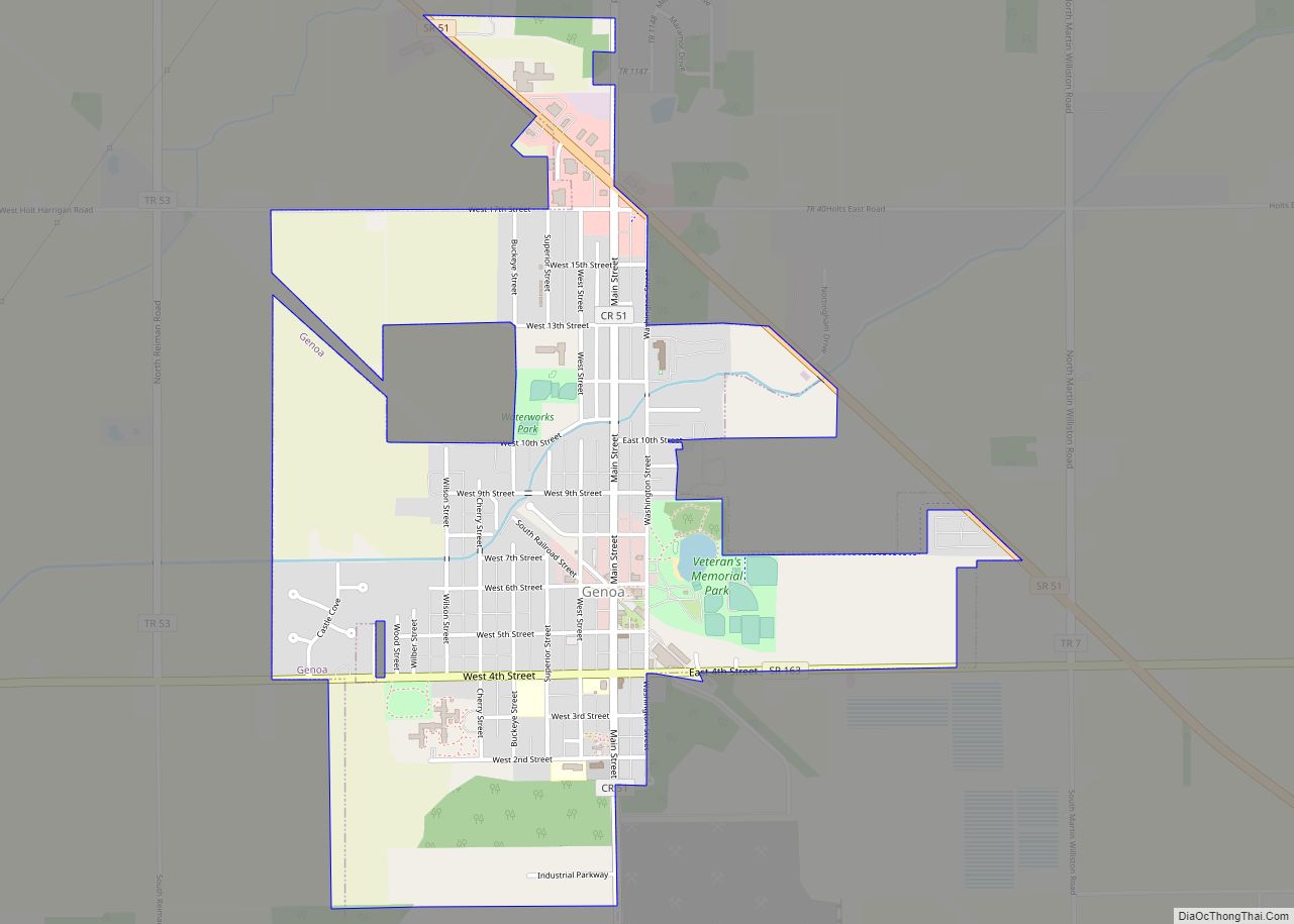
The town was founded by William Clark, a land speculator who believed a town in the center of the large township would be more likely to grow than the southern population center, Genoa. In 1883 Clay Township and Genoa discussed building a new Town Hall, and it was decided that Clay Township would help construct the building in downtown Genoa, instead of the geographic center in Clay Center. Local tradition states that this was the reason for Clay Township splitting in two a few years later. This was not the case when other public investments were made in the community. When Clay-Genoa schools merged with the Allen township school district in the 1950s to form the Genoa Area Local School District, the new high school was built just outside of Clay Center, and when the Clay-Genoa and Allen Township fire departments merged in 1999, a new Allen-Clay Joint Fire District headquarters was soon built just outside of Clay Center.
Clay Center Road Map
Clay Center city Satellite Map

Geography
Clay Center is located at 41°33′58″N 83°21′47″W / 41.56611°N 83.36306°W / 41.56611; -83.36306 (41.566199, -83.362952).
According to the United States Census Bureau, the village has a total area of 1.04 square miles (2.69 km), all land.
See also
Map of Ohio State and its subdivision:- Adams
- Allen
- Ashland
- Ashtabula
- Athens
- Auglaize
- Belmont
- Brown
- Butler
- Carroll
- Champaign
- Clark
- Clermont
- Clinton
- Columbiana
- Coshocton
- Crawford
- Cuyahoga
- Darke
- Defiance
- Delaware
- Erie
- Fairfield
- Fayette
- Franklin
- Fulton
- Gallia
- Geauga
- Greene
- Guernsey
- Hamilton
- Hancock
- Hardin
- Harrison
- Henry
- Highland
- Hocking
- Holmes
- Huron
- Jackson
- Jefferson
- Knox
- Lake
- Lake Erie
- Lawrence
- Licking
- Logan
- Lorain
- Lucas
- Madison
- Mahoning
- Marion
- Medina
- Meigs
- Mercer
- Miami
- Monroe
- Montgomery
- Morgan
- Morrow
- Muskingum
- Noble
- Ottawa
- Paulding
- Perry
- Pickaway
- Pike
- Portage
- Preble
- Putnam
- Richland
- Ross
- Sandusky
- Scioto
- Seneca
- Shelby
- Stark
- Summit
- Trumbull
- Tuscarawas
- Union
- Van Wert
- Vinton
- Warren
- Washington
- Wayne
- Williams
- Wood
- Wyandot
- Alabama
- Alaska
- Arizona
- Arkansas
- California
- Colorado
- Connecticut
- Delaware
- District of Columbia
- Florida
- Georgia
- Hawaii
- Idaho
- Illinois
- Indiana
- Iowa
- Kansas
- Kentucky
- Louisiana
- Maine
- Maryland
- Massachusetts
- Michigan
- Minnesota
- Mississippi
- Missouri
- Montana
- Nebraska
- Nevada
- New Hampshire
- New Jersey
- New Mexico
- New York
- North Carolina
- North Dakota
- Ohio
- Oklahoma
- Oregon
- Pennsylvania
- Rhode Island
- South Carolina
- South Dakota
- Tennessee
- Texas
- Utah
- Vermont
- Virginia
- Washington
- West Virginia
- Wisconsin
- Wyoming