Port Clinton is a city in and the county seat of Ottawa County, located at the mouth of the Portage River on Lake Erie, about 44 miles east of Toledo. The population was 6,025 at the 2020 census.
The city has been nicknamed the “Walleye Capital of the World”, due to the productive fishing waters for the species lying offshore in Lake Erie’s Western Basin. The annual Walleye Drop on New Year’s Eve in downtown Port Clinton reflects this nickname.
| Name: | Port Clinton city |
|---|---|
| LSAD Code: | 25 |
| LSAD Description: | city (suffix) |
| State: | Ohio |
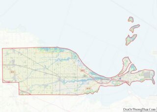
| County: | Ottawa County |
| Elevation: | 581 ft (177 m) |
| Total Area: | 2.36 sq mi (6.12 km²) |
| Land Area: | 2.13 sq mi (5.52 km²) |
| Water Area: | 0.23 sq mi (0.60 km²) |
| Total Population: | 6,025 |
| Population Density: | 2,827.31/sq mi (1,091.88/km²) |
| ZIP code: | 43452 |
| Area code: | 419 |
| FIPS code: | 3964150 |
| GNISfeature ID: | 1061564 |
| Website: | www.portclinton.com |
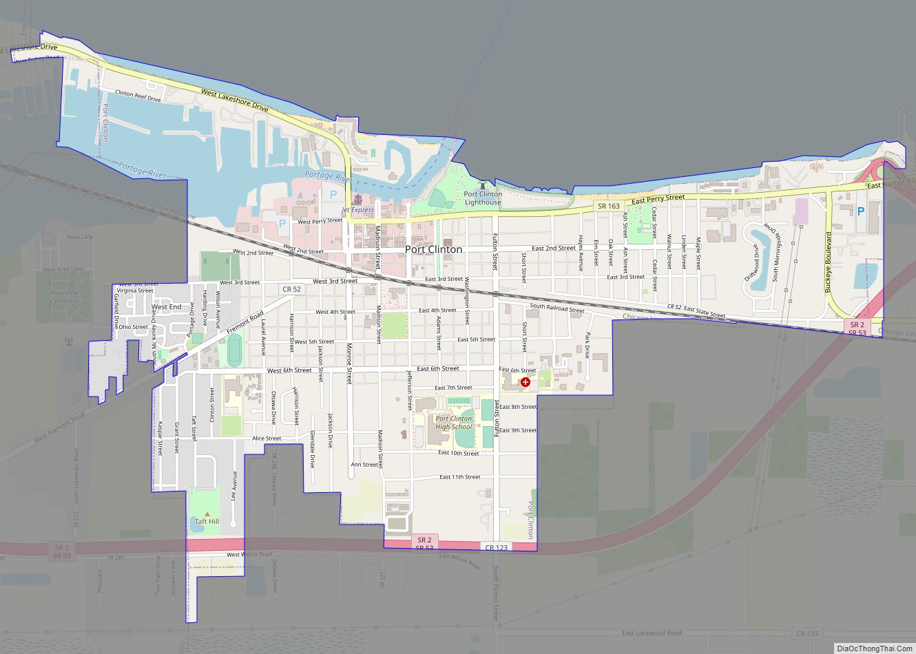
Online Interactive Map
Click on ![]() to view map in "full screen" mode.
to view map in "full screen" mode.
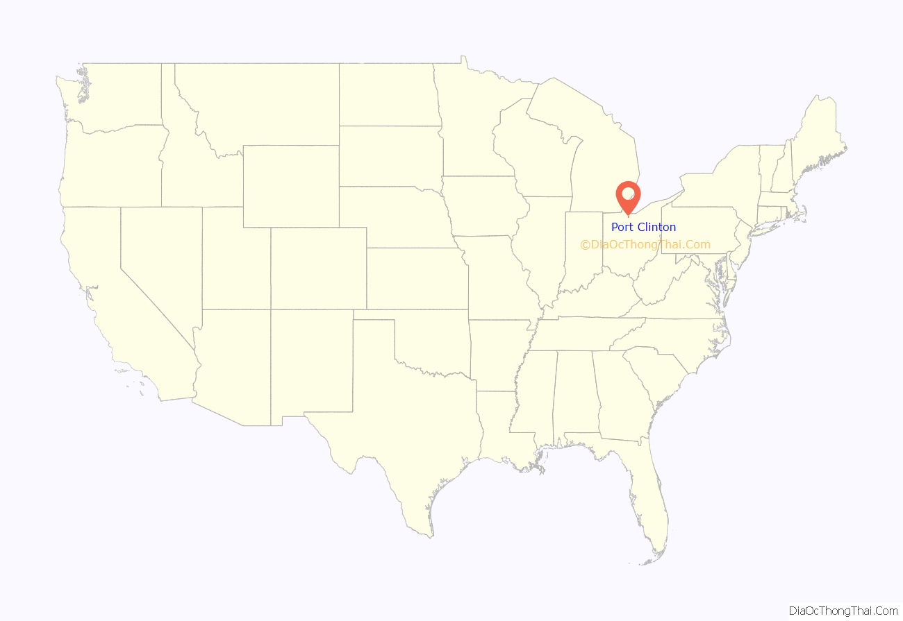
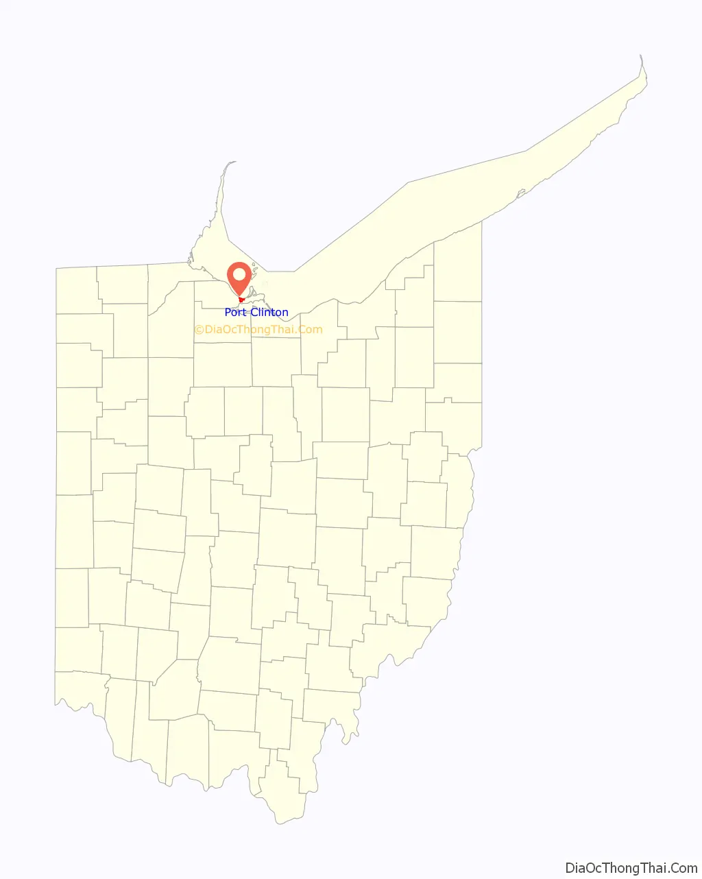
Port Clinton location map. Where is Port Clinton city?
History
Established in 1828, the town was named after New York governor DeWitt Clinton,who was instrumental in creating the Erie Canal, which connected the Midwest along the Great Lakes to the markets of the Hudson River and New York.
The city saw small population growth throughout 19th century, with a population of 1,600 in 1880 and 2,049 residents in 1890. By 1886, Port Clinton contained three newspaper offices, four churches, and one bank. Several manufacturing businesses existed in the town, with the largest being A. Couche & Company, a sawmill that employed ten workers. Most businesses provided services or products to farmers in the surrounding countryside.
During the 20th century, Port Clinton’s population grew, especially in the second half of the century with the expansion of the Vacationland region as a whole with increasing tourism. In 2000, 6,391 residents lived in the community.
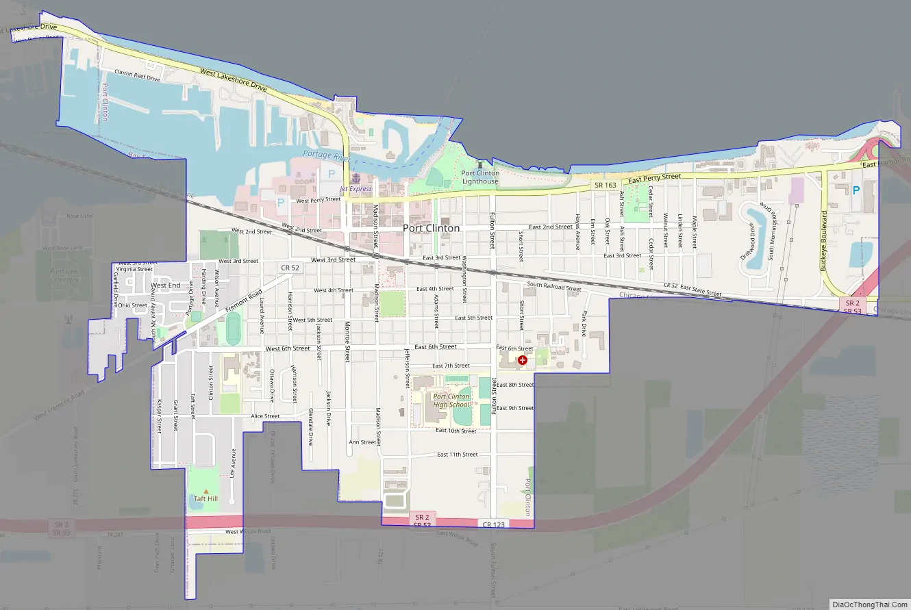
Port Clinton Road Map
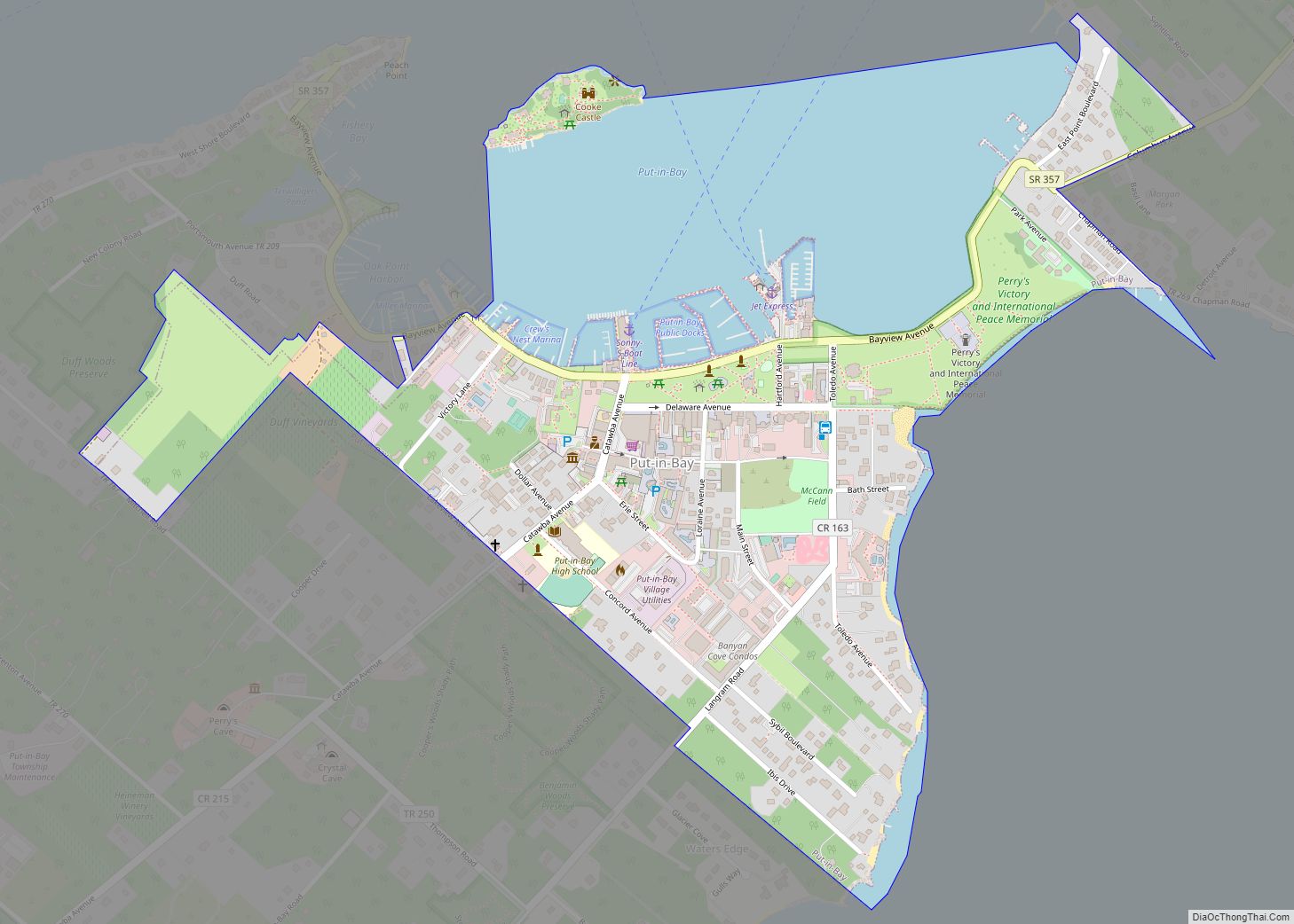
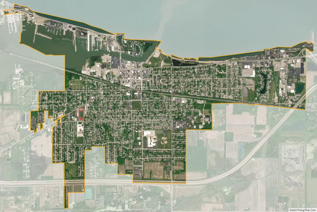
Port Clinton city Satellite Map
Geography
Port Clinton is located at 41°30′35″N 82°56′25″W / 41.50972°N 82.94028°W / 41.50972; -82.94028 (41.509857, -82.940156).
According to the United States Census Bureau, the city has a total area of 2.28 square miles (5.91 km), of which 2.08 square miles (5.39 km) is land and 0.20 square miles (0.52 km) is water.
See also
Map of Ohio State and its subdivision:- Adams
- Allen
- Ashland
- Ashtabula
- Athens
- Auglaize
- Belmont
- Brown
- Butler
- Carroll
- Champaign
- Clark
- Clermont
- Clinton
- Columbiana
- Coshocton
- Crawford
- Cuyahoga
- Darke
- Defiance
- Delaware
- Erie
- Fairfield
- Fayette
- Franklin
- Fulton
- Gallia
- Geauga
- Greene
- Guernsey
- Hamilton
- Hancock
- Hardin
- Harrison
- Henry
- Highland
- Hocking
- Holmes
- Huron
- Jackson
- Jefferson
- Knox
- Lake
- Lake Erie
- Lawrence
- Licking
- Logan
- Lorain
- Lucas
- Madison
- Mahoning
- Marion
- Medina
- Meigs
- Mercer
- Miami
- Monroe
- Montgomery
- Morgan
- Morrow
- Muskingum
- Noble
- Ottawa
- Paulding
- Perry
- Pickaway
- Pike
- Portage
- Preble
- Putnam
- Richland
- Ross
- Sandusky
- Scioto
- Seneca
- Shelby
- Stark
- Summit
- Trumbull
- Tuscarawas
- Union
- Van Wert
- Vinton
- Warren
- Washington
- Wayne
- Williams
- Wood
- Wyandot
- Alabama
- Alaska
- Arizona
- Arkansas
- California
- Colorado
- Connecticut
- Delaware
- District of Columbia
- Florida
- Georgia
- Hawaii
- Idaho
- Illinois
- Indiana
- Iowa
- Kansas
- Kentucky
- Louisiana
- Maine
- Maryland
- Massachusetts
- Michigan
- Minnesota
- Mississippi
- Missouri
- Montana
- Nebraska
- Nevada
- New Hampshire
- New Jersey
- New Mexico
- New York
- North Carolina
- North Dakota
- Ohio
- Oklahoma
- Oregon
- Pennsylvania
- Rhode Island
- South Carolina
- South Dakota
- Tennessee
- Texas
- Utah
- Vermont
- Virginia
- Washington
- West Virginia
- Wisconsin
- Wyoming