Conneaut (/ˈkɒniɔːt/ KON-ee-awt) is a city in Ashtabula County, Ohio, United States, along Lake Erie at the mouth of Conneaut Creek 66 miles (106 km) northeast of Cleveland. The population was 12,318 at the 2020 census. Conneaut is located at the far northeastern corner of the state, within the Ashtabula micropolitan area.
| Name: | Conneaut city |
|---|---|
| LSAD Code: | 25 |
| LSAD Description: | city (suffix) |
| State: | Ohio |
| County: | Ashtabula County |
| Incorporated: | 1834 (village) 1902 (city) |
| Elevation: | 646 ft (197 m) |
| Total Area: | 26.49 sq mi (68.61 km²) |
| Land Area: | 26.43 sq mi (68.44 km²) |
| Water Area: | 0.07 sq mi (0.17 km²) |
| Total Population: | 12,318 |
| Population Density: | 466.15/sq mi (179.98/km²) |
| ZIP code: | 44030 |
| Area code: | 440 |
| FIPS code: | 3918350 |
| GNISfeature ID: | 1077521 |
| Website: | www.conneautohio.gov |
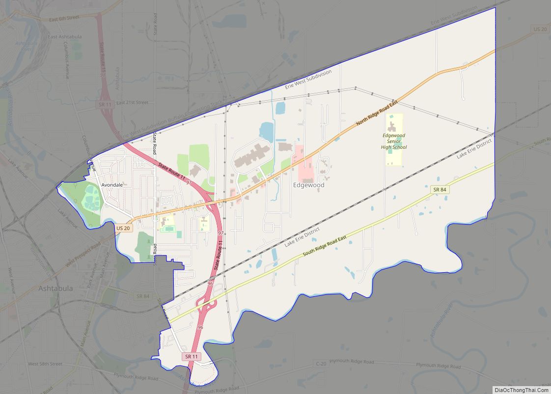
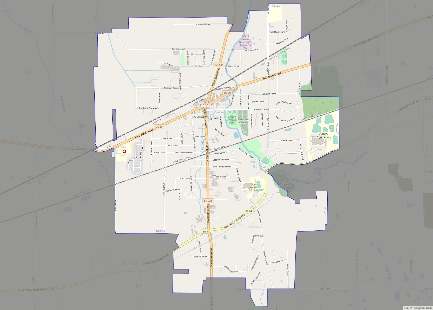
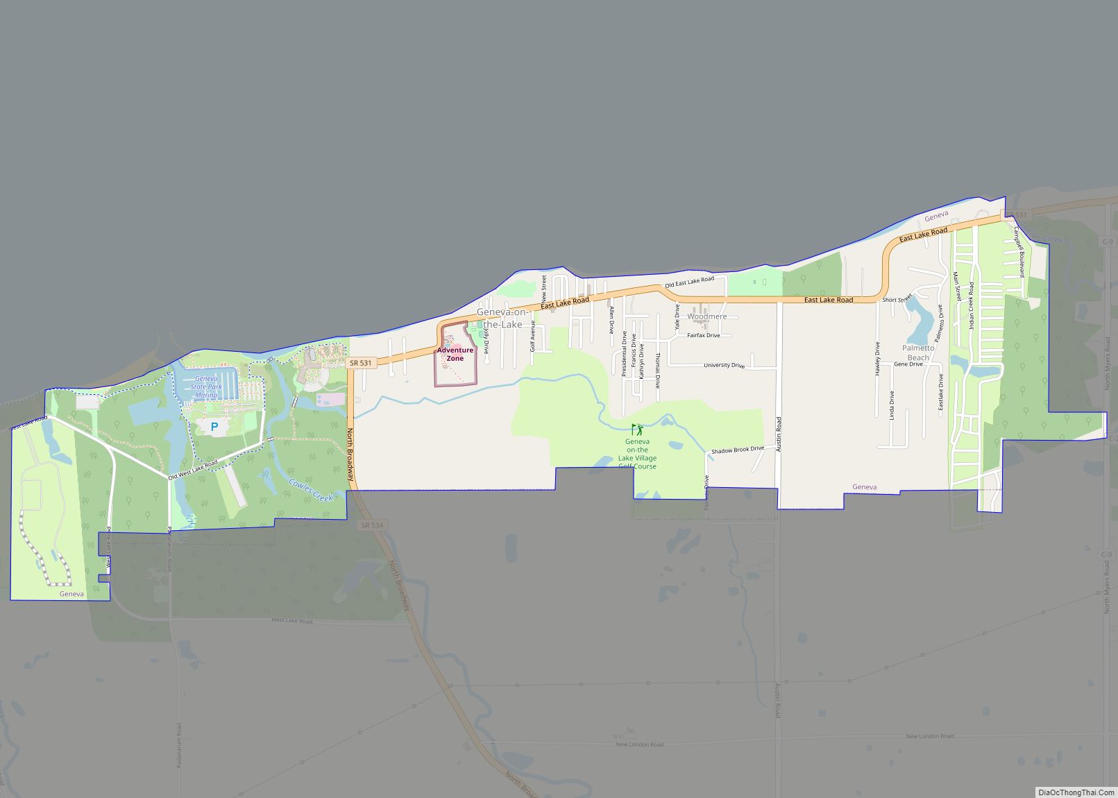
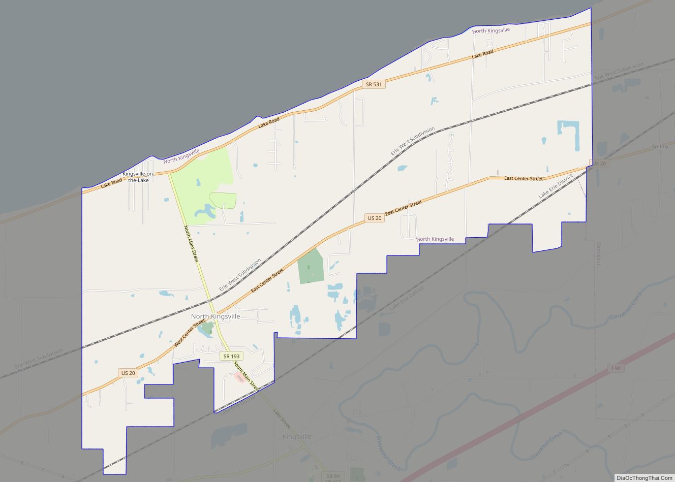
Online Interactive Map
Click on ![]() to view map in "full screen" mode.
to view map in "full screen" mode.
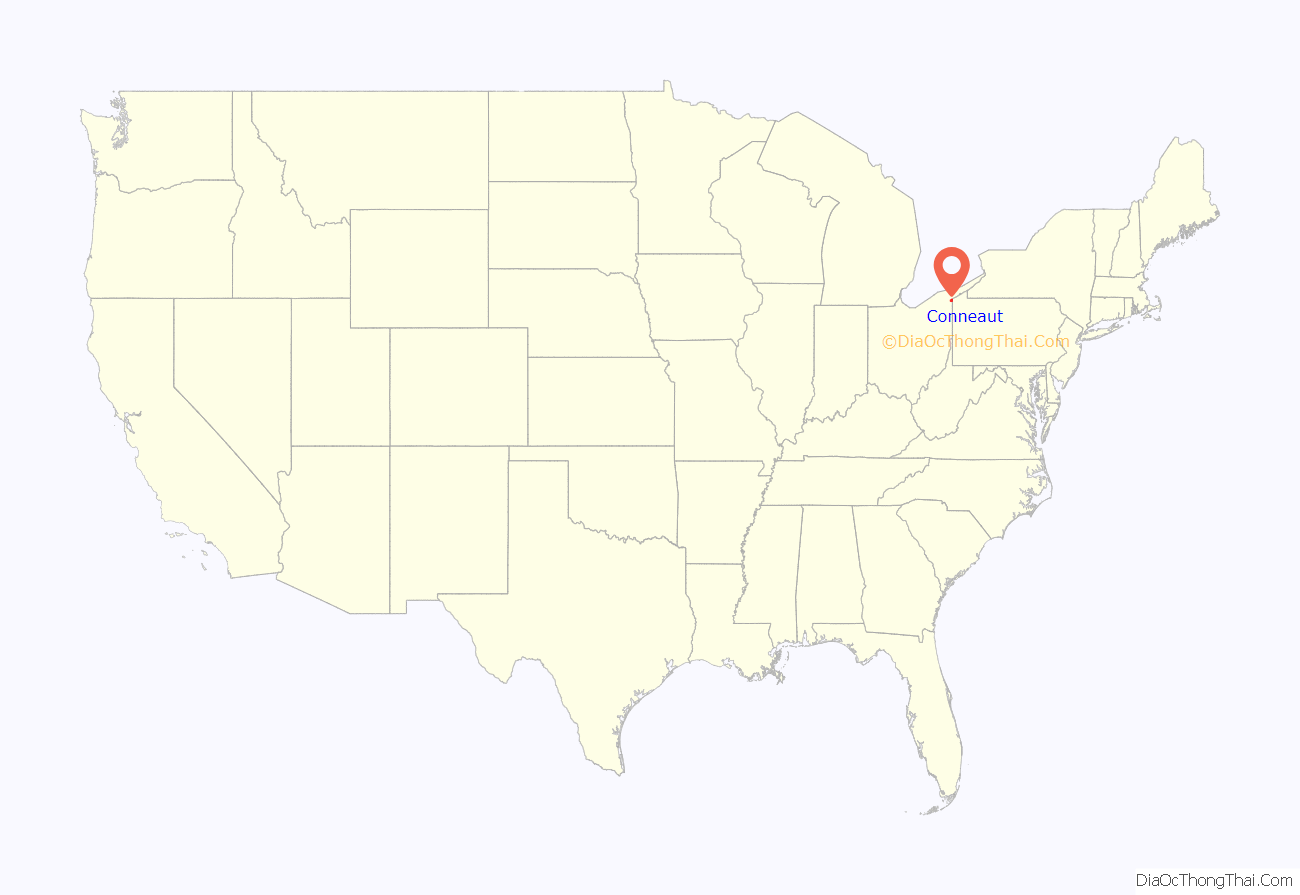
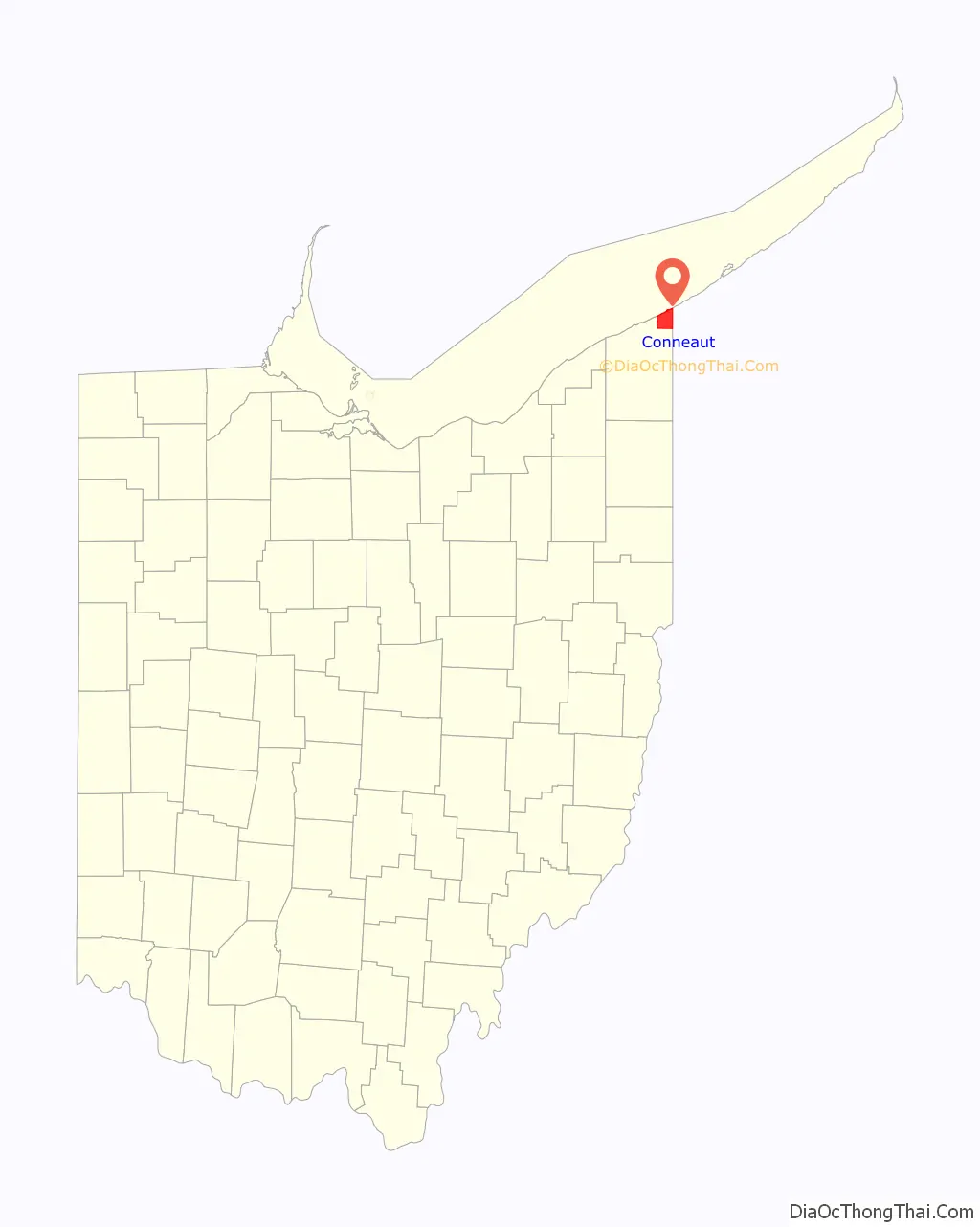
Conneaut location map. Where is Conneaut city?
History
Conneaut is located on an old Native American trail, later used by early westbound pioneers. The word conneaut comes from the Seneca language, and has a disputed meaning. A Mississauga village was located at or near Conneaut, c. 1747.
In 1796, surveyors for the Connecticut Land Company built a log storehouse here, but the permanent settlement dates from 1798. In 1832 Conneaut was incorporated, and was described in 1833 as having a printing office, one meeting house, two taverns, and several stores and shops. It became a city in 1898. Conneaut was originally named New Salem, and the parts surrounding it were named “Lakeville” from 1944 to 1964, though these were eventually combined into what is now known as “Conneaut”. People still refer to parts of Conneaut as Lakeville or Amboy.
On March 27, 1953 a three-train collision near Conneaut resulted in the deaths of 21 persons.
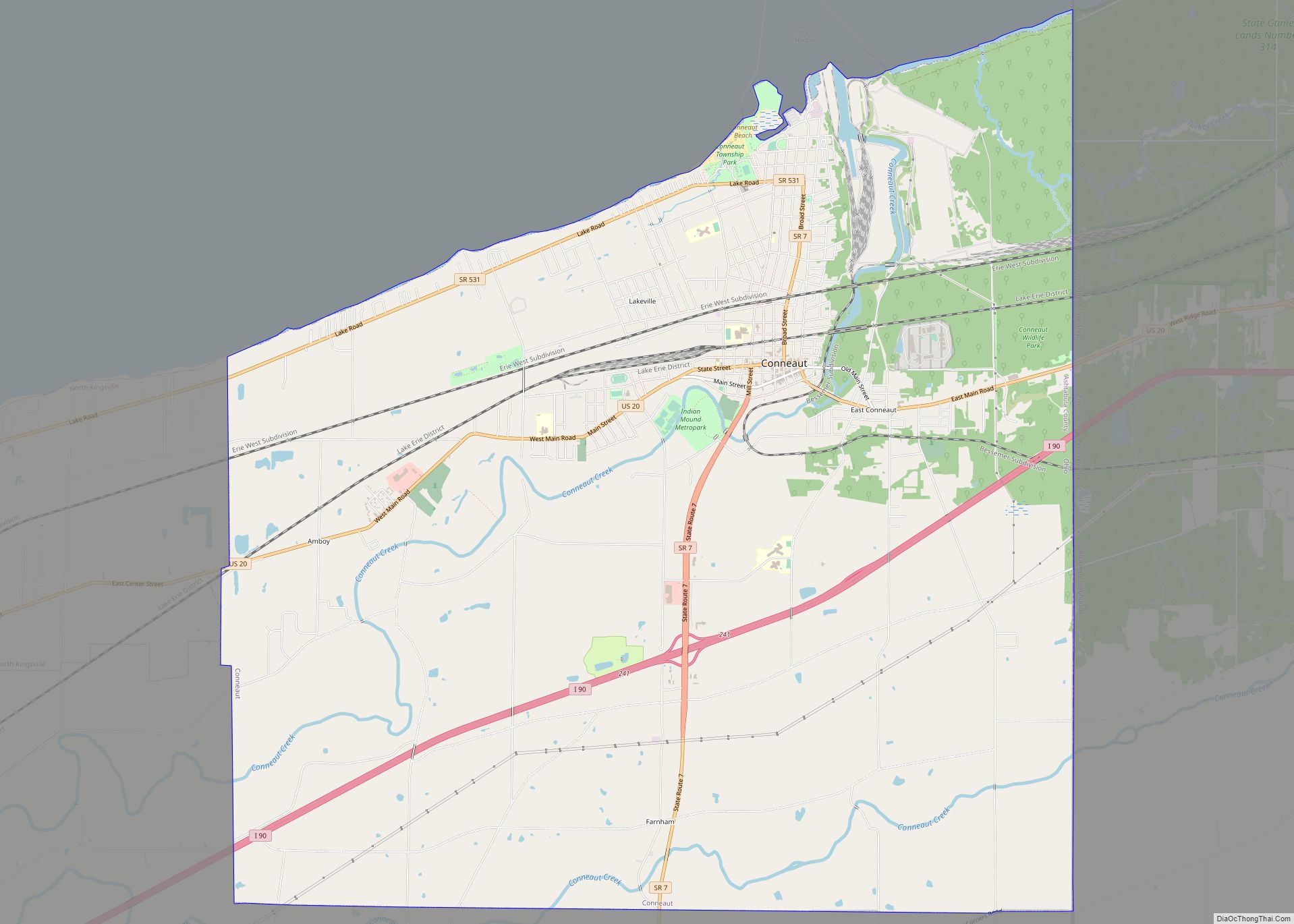
Conneaut Road Map
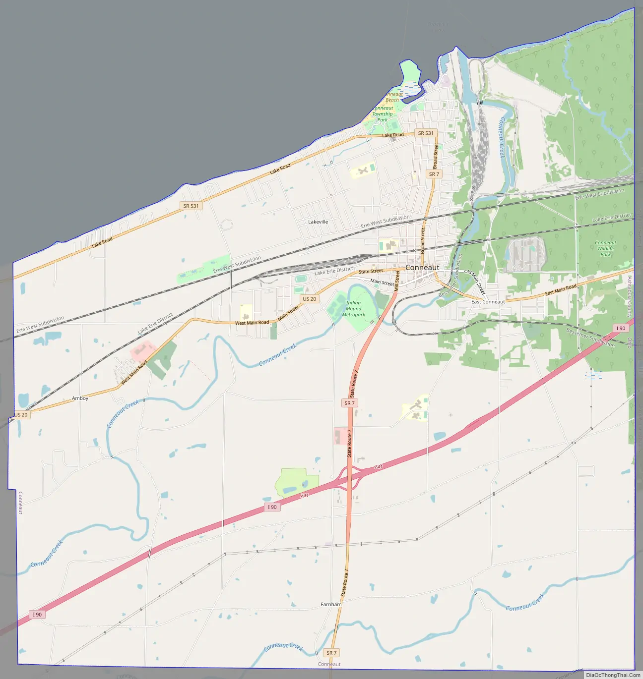
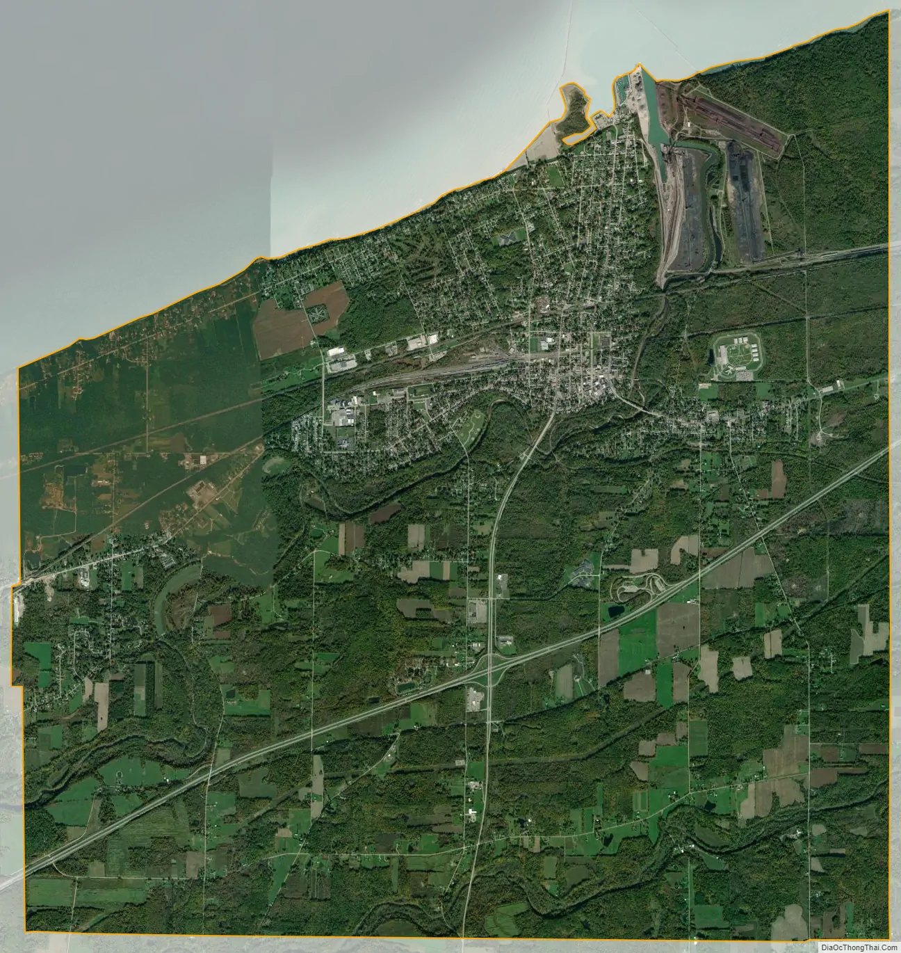
Conneaut city Satellite Map
Geography
Conneaut is located at 41°57′N 80°34′W / 41.950°N 80.567°W / 41.950; -80.567 (41.9433, -80.5695). According to the United States Census Bureau, the city has a total area of 26.43 square miles (68.45 km), of which 26.36 square miles (68.27 km) is land and 0.07 square miles (0.18 km) is water. Conneaut is situated along Lake Erie at the mouth of Conneaut Creek.
Conneaut is located in the northeasternmost corner of Ohio, bordering the state of Pennsylvania to the east and has 27 square miles (70 km) within its corporate city limits, making it the 15th-largest city in Ohio by total land area.
Conneaut is a mixture of urban areas and rural farmland. The city has over seven miles (11 km) of shoreline along Lake Erie, with beaches, boating facilities and a healthy summer tourist trade.
Climate
According to the Köppen climate classification, Conneaut has a continental maritime climate (Cfb) with warm to hot summers and cool to mild winters moderated by Lake Erie. Conneaut experiences seasonal lag due to the proximity of Lake Erie.
See also
Map of Ohio State and its subdivision:- Adams
- Allen
- Ashland
- Ashtabula
- Athens
- Auglaize
- Belmont
- Brown
- Butler
- Carroll
- Champaign
- Clark
- Clermont
- Clinton
- Columbiana
- Coshocton
- Crawford
- Cuyahoga
- Darke
- Defiance
- Delaware
- Erie
- Fairfield
- Fayette
- Franklin
- Fulton
- Gallia
- Geauga
- Greene
- Guernsey
- Hamilton
- Hancock
- Hardin
- Harrison
- Henry
- Highland
- Hocking
- Holmes
- Huron
- Jackson
- Jefferson
- Knox
- Lake
- Lake Erie
- Lawrence
- Licking
- Logan
- Lorain
- Lucas
- Madison
- Mahoning
- Marion
- Medina
- Meigs
- Mercer
- Miami
- Monroe
- Montgomery
- Morgan
- Morrow
- Muskingum
- Noble
- Ottawa
- Paulding
- Perry
- Pickaway
- Pike
- Portage
- Preble
- Putnam
- Richland
- Ross
- Sandusky
- Scioto
- Seneca
- Shelby
- Stark
- Summit
- Trumbull
- Tuscarawas
- Union
- Van Wert
- Vinton
- Warren
- Washington
- Wayne
- Williams
- Wood
- Wyandot
- Alabama
- Alaska
- Arizona
- Arkansas
- California
- Colorado
- Connecticut
- Delaware
- District of Columbia
- Florida
- Georgia
- Hawaii
- Idaho
- Illinois
- Indiana
- Iowa
- Kansas
- Kentucky
- Louisiana
- Maine
- Maryland
- Massachusetts
- Michigan
- Minnesota
- Mississippi
- Missouri
- Montana
- Nebraska
- Nevada
- New Hampshire
- New Jersey
- New Mexico
- New York
- North Carolina
- North Dakota
- Ohio
- Oklahoma
- Oregon
- Pennsylvania
- Rhode Island
- South Carolina
- South Dakota
- Tennessee
- Texas
- Utah
- Vermont
- Virginia
- Washington
- West Virginia
- Wisconsin
- Wyoming