Crooksville is a village in Perry County, Ohio, United States, along Moxahala Creek. The population was 2,418 at the 2020 census. It was the home of Hull pottery, one of the best known Ohio potteries.
| Name: | Crooksville village |
|---|---|
| LSAD Code: | 47 |
| LSAD Description: | village (suffix) |
| State: | Ohio |
| County: | Perry County |
| Elevation: | 784 ft (239 m) |
| Total Area: | 1.65 sq mi (4.26 km²) |
| Land Area: | 1.62 sq mi (4.20 km²) |
| Water Area: | 0.02 sq mi (0.06 km²) |
| Total Population: | 2,418 |
| Population Density: | 1,489.83/sq mi (575.11/km²) |
| ZIP code: | 43731 |
| Area code: | 740 |
| FIPS code: | 3919456 |
| GNISfeature ID: | 1056852 |
| Website: | www.crooksville.com |
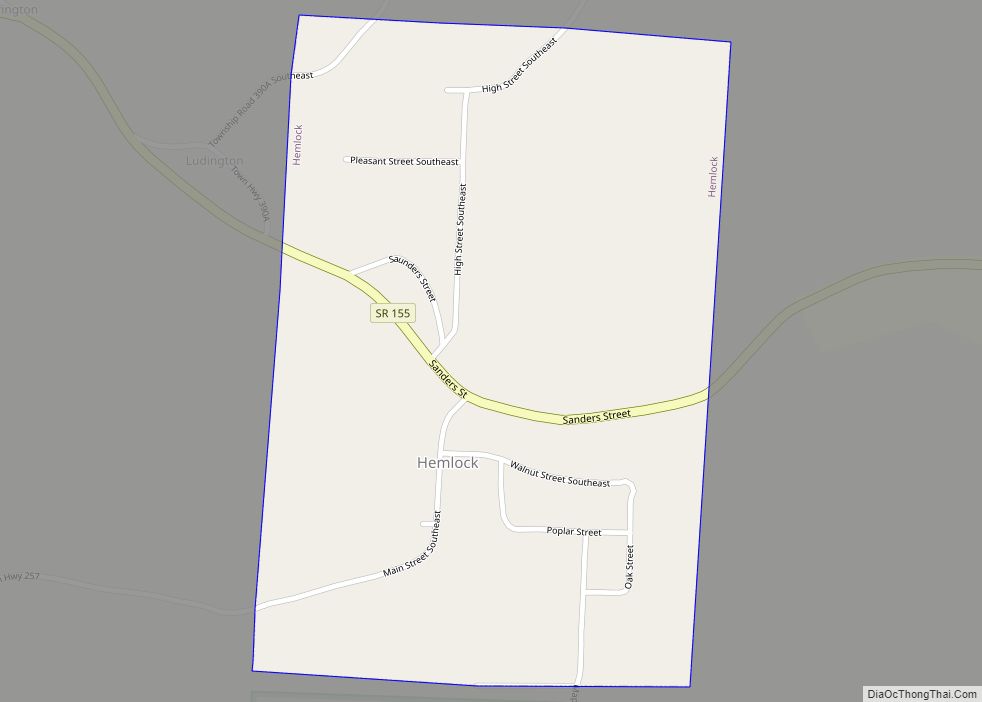
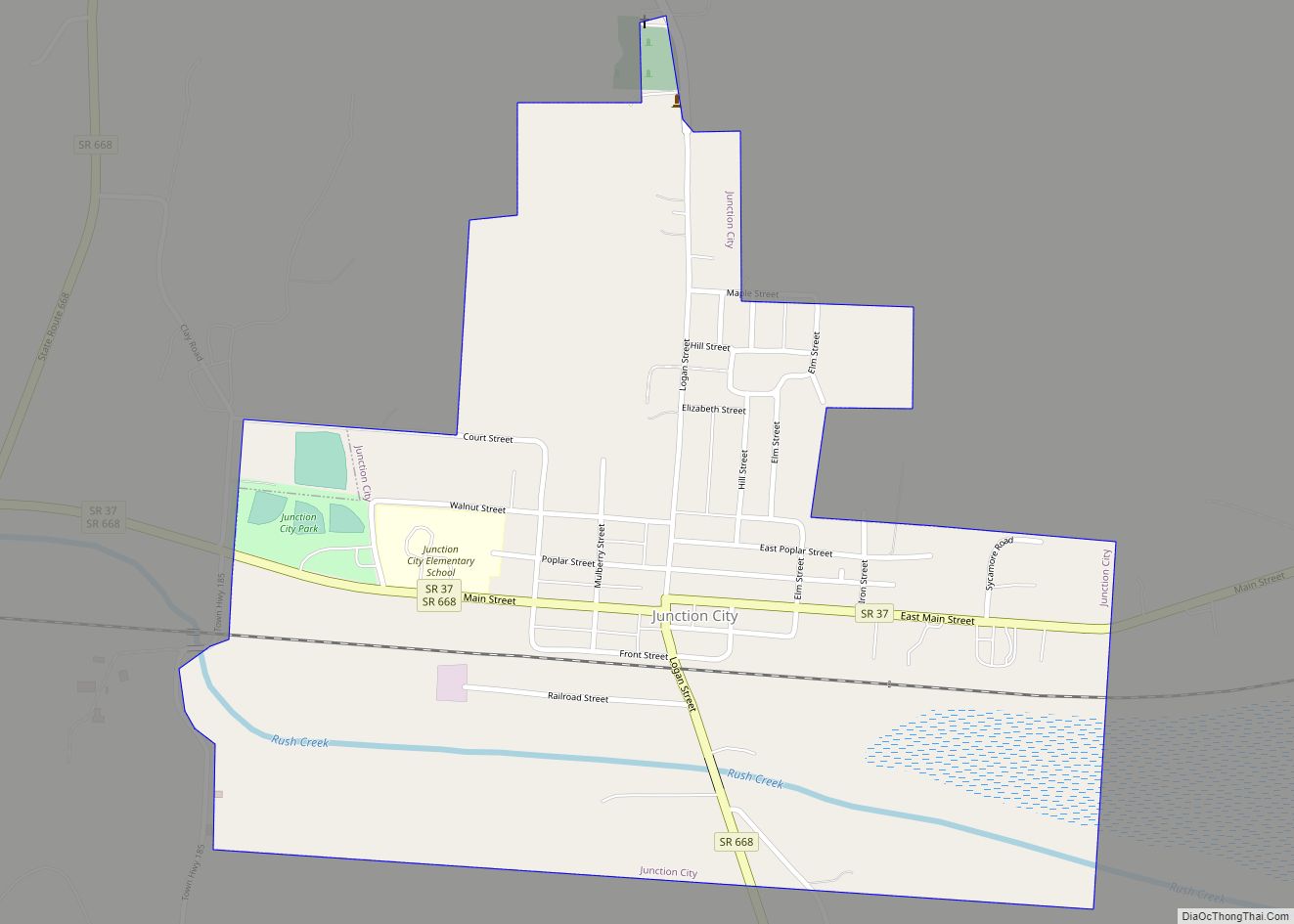
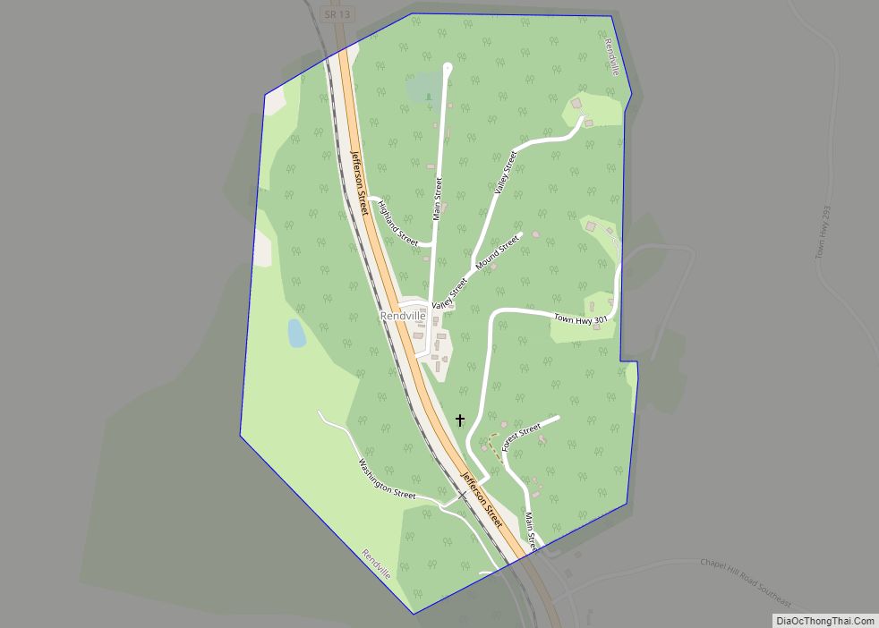
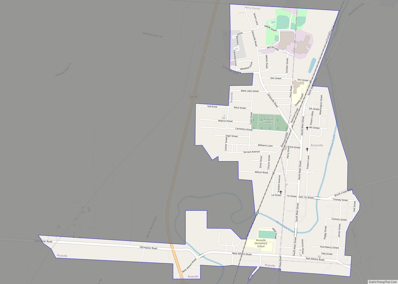
Online Interactive Map
Click on ![]() to view map in "full screen" mode.
to view map in "full screen" mode.
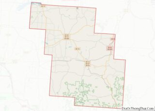
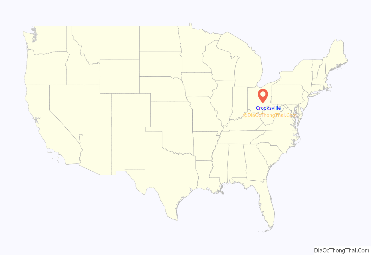
Crooksville location map. Where is Crooksville village?
History
Crooksville was founded around 1874 by the U.S. Postal Service at the request of founders Jacob Reed and his partner Joseph Crooks, Crooksville has continued to thrive for the past 126 years. Located off State Rt. 93 in Perry County, the Village has worked diligently over the years to keep the environment friendly for families and business. Sometime earlier between 1820 and 1825, Jacob Reed, a young and prosperous man from the East struck out looking for a company in which to invest his money and double his fortune. On the way he met his bride, Lydia, and eventually the two of them found the heavily timbered land that is now Crooksville.
Mr. Reed negotiated with the federal government for a parcel of land along what we now know as the Moxahala Creek and received a warranty deed signed by President James Monroe. He started his empire with a lumber mill and farm, the sales from which enabled him to purchase more land until he had acquired upward of 300 or 400 acres.
In 1856 the railroad passed through the Reed farm on its way between Zanesville and New Lexington. Due to concessions Jacob Reed made to the railroad, a spur was built onto his property for the benefit of the community over which he built a warehouse for his grain and named Reed Station. The local freight train also carried a passenger car and stopped by flag to discharge and receive passengers.
During this period, more farms had also cropped up around the Reed properties, most of which had a small kiln for making functional pottery. Because these kilns and the clay for making pottery were normally kept in small, unheated buildings, production could only happen from spring through fall, which spurred the nickname “bluebird potteries”. Firing up in spring when the bluebirds returned from their winter migration, and ending when they’d headed south again.
The area grew and gained in population creating the need for building materials, dry goods, churches, schools and a host of other creature comforts. In addition to being rich farmland, the area produced deep veins of clay and coal, creating a thriving pottery and coal mining industry.
In 1870 Joseph Crooks purchased a small strip of land near the railroad and set up a general store. At this time, the nearest post offices were at McCluney and Roseville, there was no mail route passing through. Some person would usually visit the post office once a week and bring back the neighbors’ mail along with theirs. Because of this Joseph Crooks circulated the necessary petition to submit to the Federal Government in hopes of having a post office established to be known as “Reeds Post Office”. At the same time, he made application for the appointment of the office of Postmaster. The Post Office Department in Washington reported back favorably to the establishment of a post office and Mr. Crooks appointment as postmaster, but advised that due to the fact that there was already a “Reeds Post Office” in Ohio, it would have to be given some other name. They suggested that the office be known as “Crooksville”. According to the book History of Crooksville by Guy E. Crooks, son of Joseph: “This suggestion was pleasing to my father.”
In 1894 the population of Crooksville had grown to approximately 800 and the residents took the necessary steps to have the Village incorporated.
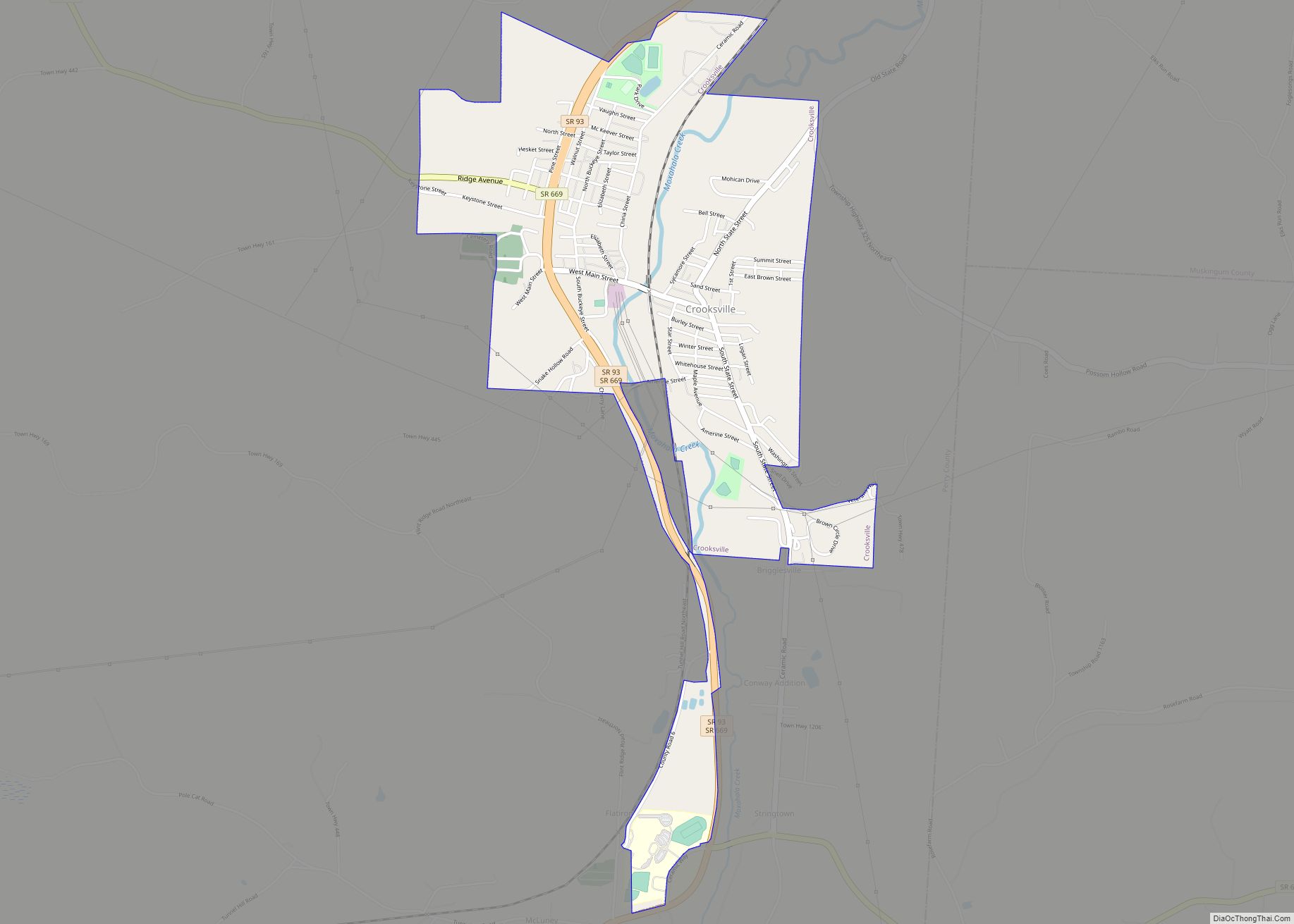
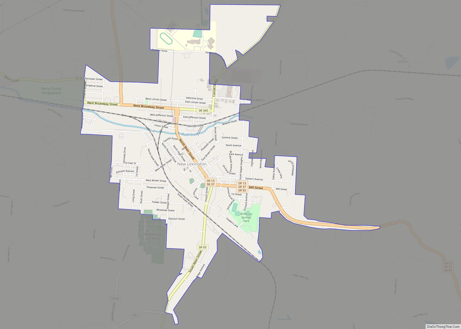
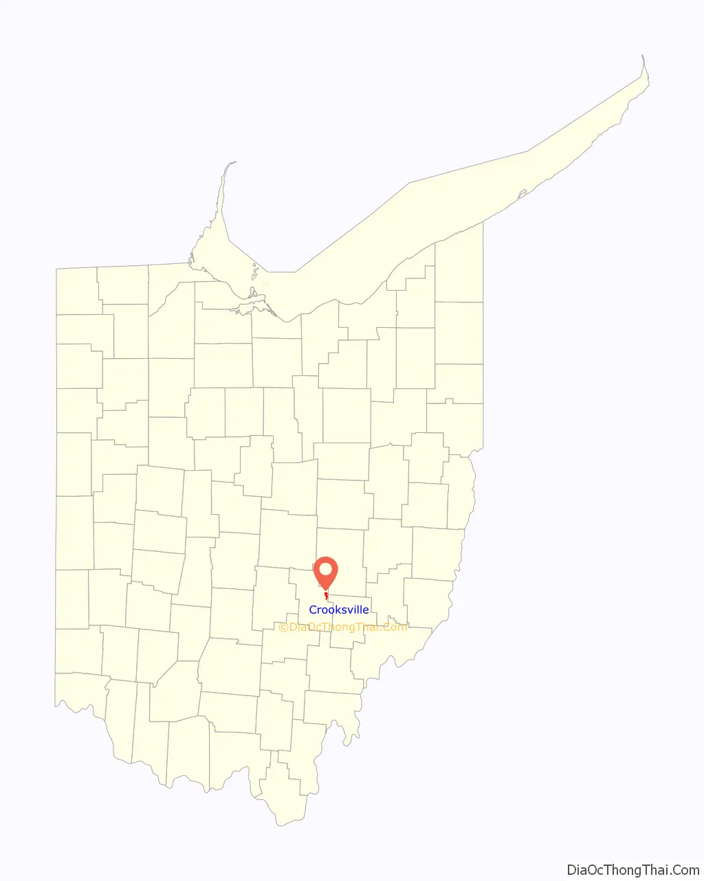
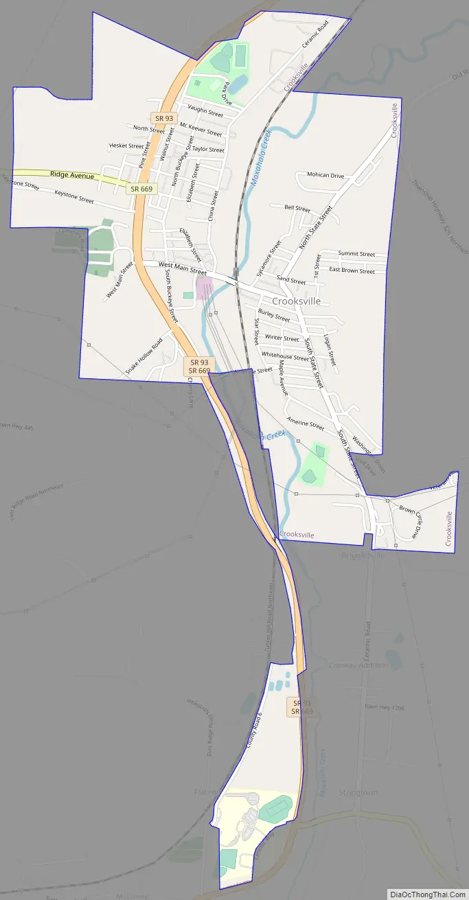
Crooksville Road Map
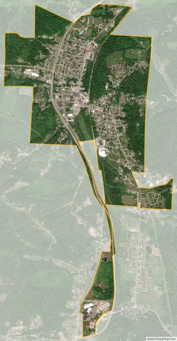
Crooksville city Satellite Map
Geography
Crooksville is located at 39°46′9″N 82°5′41″W / 39.76917°N 82.09472°W / 39.76917; -82.09472 (39.769070, -82.094733).
According to the United States Census Bureau, the village has a total area of 1.64 square miles (4.25 km), of which 1.62 square miles (4.20 km) is land and 0.02 square miles (0.05 km) is water.
See also
Map of Ohio State and its subdivision:- Adams
- Allen
- Ashland
- Ashtabula
- Athens
- Auglaize
- Belmont
- Brown
- Butler
- Carroll
- Champaign
- Clark
- Clermont
- Clinton
- Columbiana
- Coshocton
- Crawford
- Cuyahoga
- Darke
- Defiance
- Delaware
- Erie
- Fairfield
- Fayette
- Franklin
- Fulton
- Gallia
- Geauga
- Greene
- Guernsey
- Hamilton
- Hancock
- Hardin
- Harrison
- Henry
- Highland
- Hocking
- Holmes
- Huron
- Jackson
- Jefferson
- Knox
- Lake
- Lake Erie
- Lawrence
- Licking
- Logan
- Lorain
- Lucas
- Madison
- Mahoning
- Marion
- Medina
- Meigs
- Mercer
- Miami
- Monroe
- Montgomery
- Morgan
- Morrow
- Muskingum
- Noble
- Ottawa
- Paulding
- Perry
- Pickaway
- Pike
- Portage
- Preble
- Putnam
- Richland
- Ross
- Sandusky
- Scioto
- Seneca
- Shelby
- Stark
- Summit
- Trumbull
- Tuscarawas
- Union
- Van Wert
- Vinton
- Warren
- Washington
- Wayne
- Williams
- Wood
- Wyandot
- Alabama
- Alaska
- Arizona
- Arkansas
- California
- Colorado
- Connecticut
- Delaware
- District of Columbia
- Florida
- Georgia
- Hawaii
- Idaho
- Illinois
- Indiana
- Iowa
- Kansas
- Kentucky
- Louisiana
- Maine
- Maryland
- Massachusetts
- Michigan
- Minnesota
- Mississippi
- Missouri
- Montana
- Nebraska
- Nevada
- New Hampshire
- New Jersey
- New Mexico
- New York
- North Carolina
- North Dakota
- Ohio
- Oklahoma
- Oregon
- Pennsylvania
- Rhode Island
- South Carolina
- South Dakota
- Tennessee
- Texas
- Utah
- Vermont
- Virginia
- Washington
- West Virginia
- Wisconsin
- Wyoming