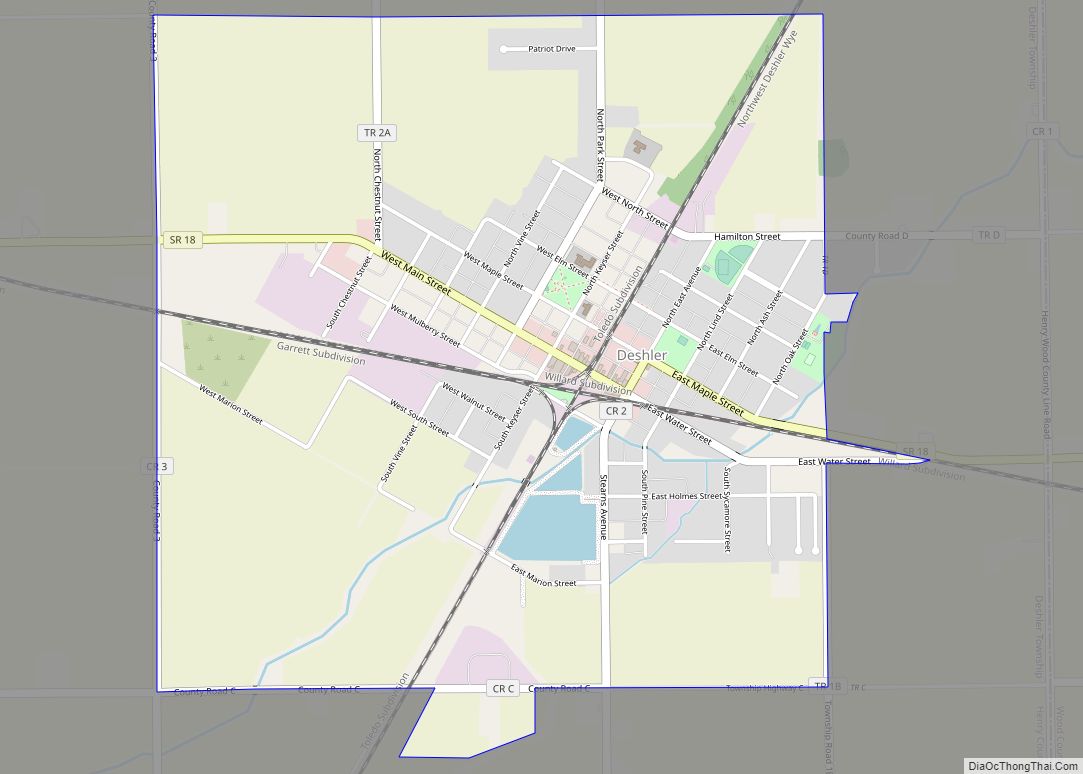
Deshler is a village in Henry County, Ohio, United States. The population was 1,799 at the 2010 census.
| Name: | Deshler village |
|---|---|
| LSAD Code: | 47 |
| LSAD Description: | village (suffix) |
| State: | Ohio |
| County: | Henry County |
| Elevation: | 712 ft (217 m) |
| Total Area: | 2.32 sq mi (6.02 km²) |
| Land Area: | 2.29 sq mi (5.93 km²) |
| Water Area: | 0.04 sq mi (0.09 km²) |
| Total Population: | 1,588 |
| Population Density: | 693.75/sq mi (267.83/km²) |
| ZIP code: | 43516 |
| Area code: | 419 |
| FIPS code: | 3921812 |
| GNISfeature ID: | 1039681 |
| Website: | https://villageofdeshler.com/ |
Online Interactive Map
Click on ![]() to view map in "full screen" mode.
to view map in "full screen" mode.
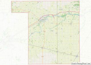
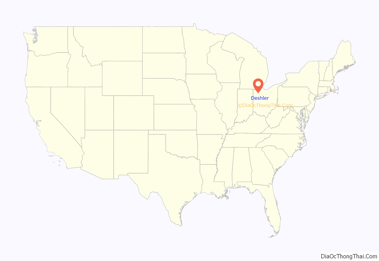
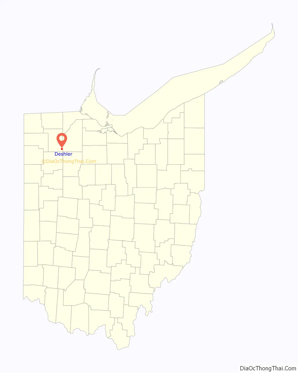
Deshler location map. Where is Deshler village?
History
Deshler was platted in 1873, and named for John G. Deshler, the original owner of the town site. A post office has been in operation at Deshler since 1872. The village was incorporated in 1876. Since the early 1900s the Baltimore and Ohio Railroad provided a large economic presence. Deshler, once called “The Crossroads of the B&O,” was where the B&O’s Detroit/Toledo to Cincinnati line crossed the very busy Chicago to Washington, D.C., mainline. Today, CSX Transportation owns and operates both lines.
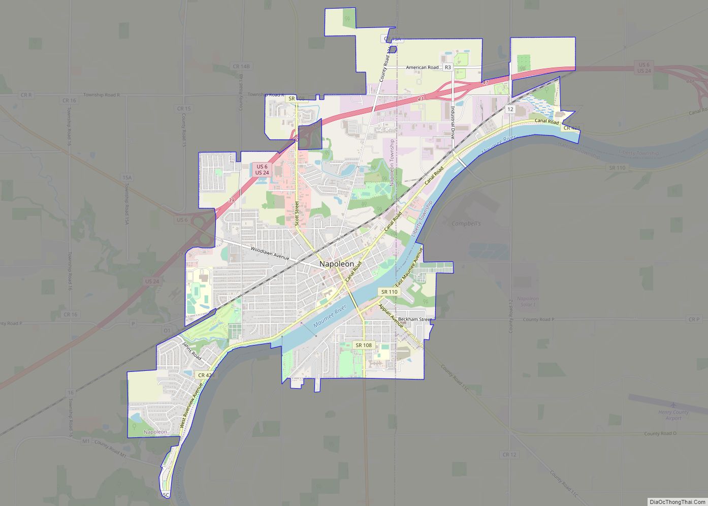
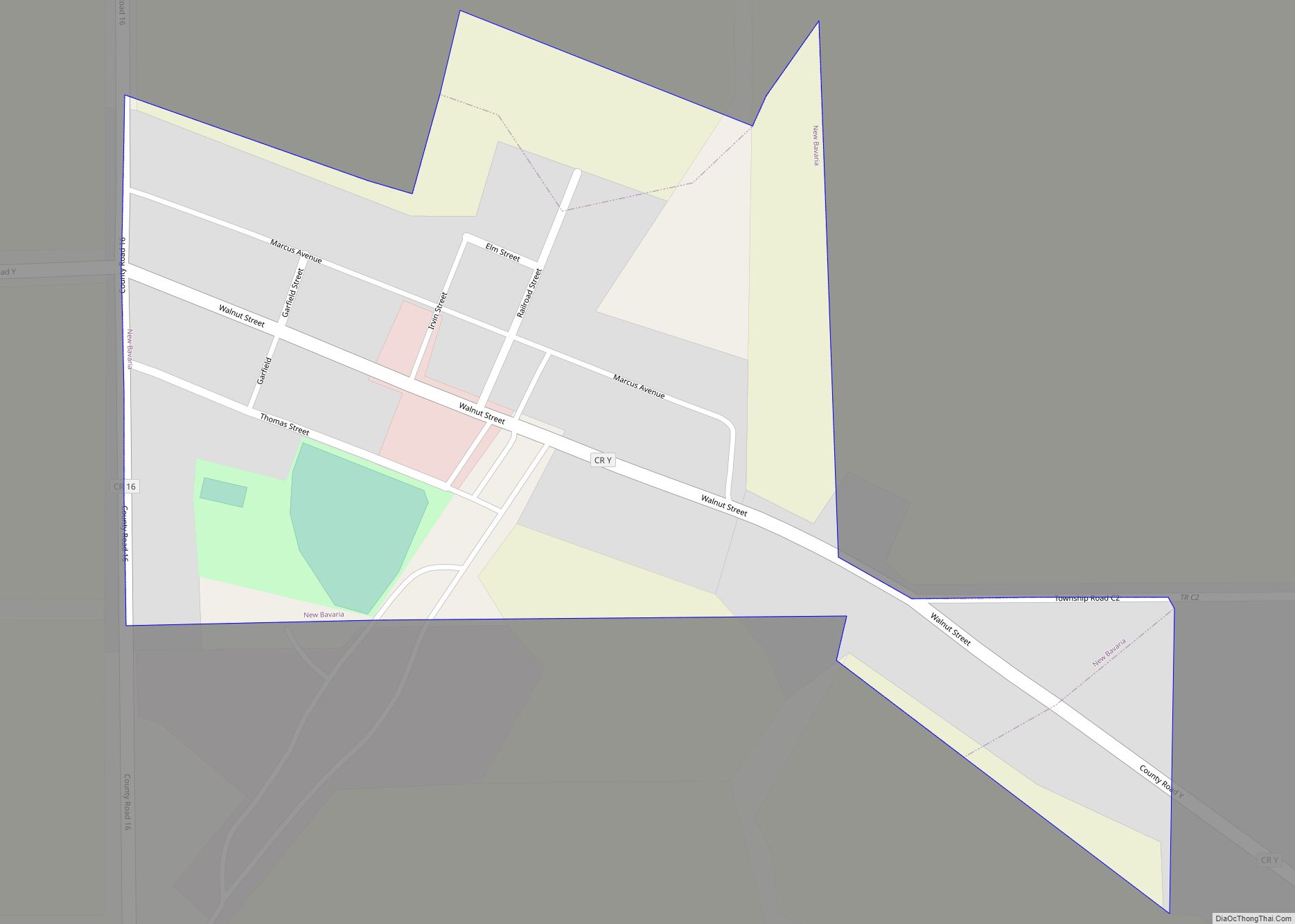
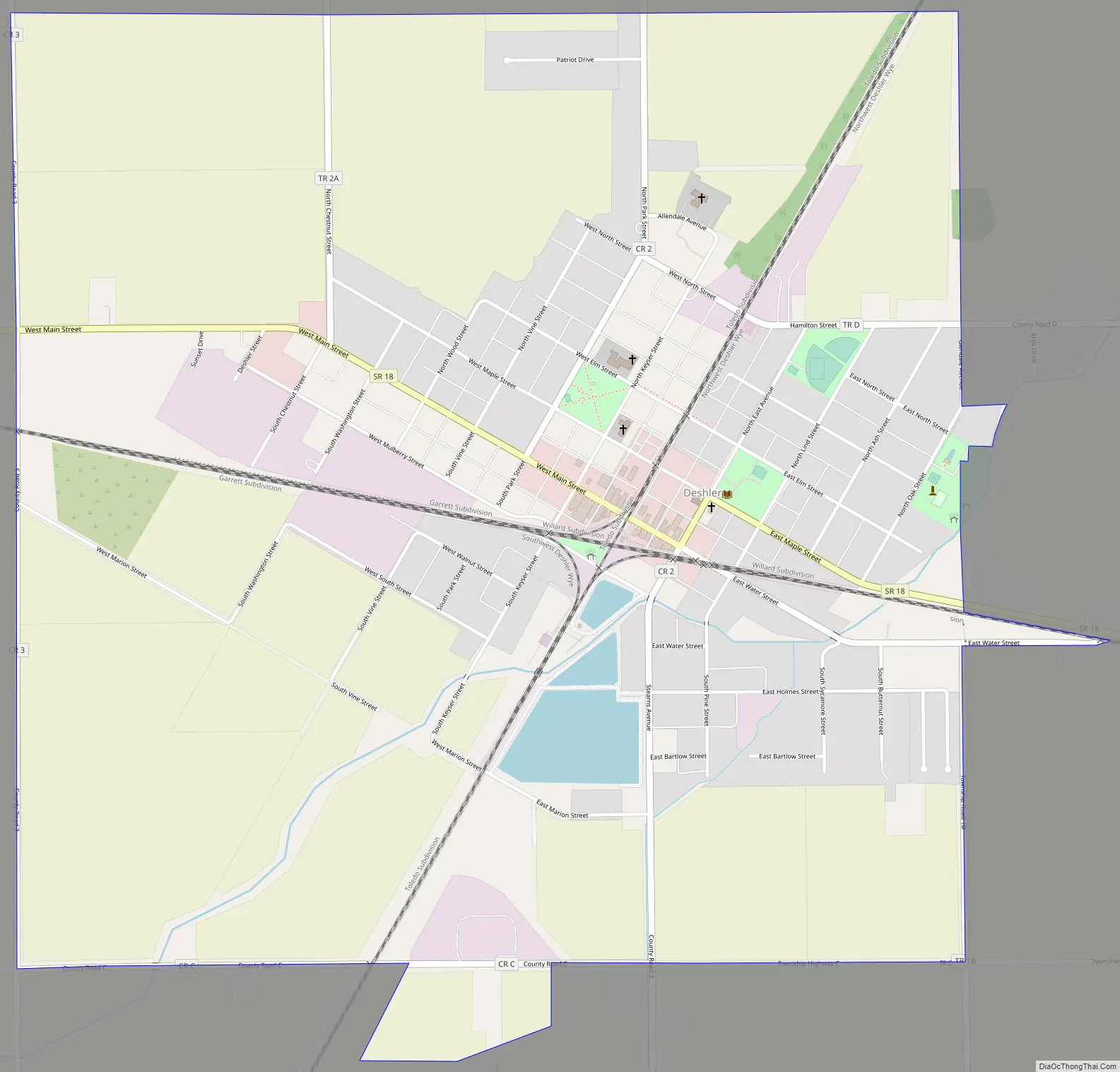
Deshler Road Map
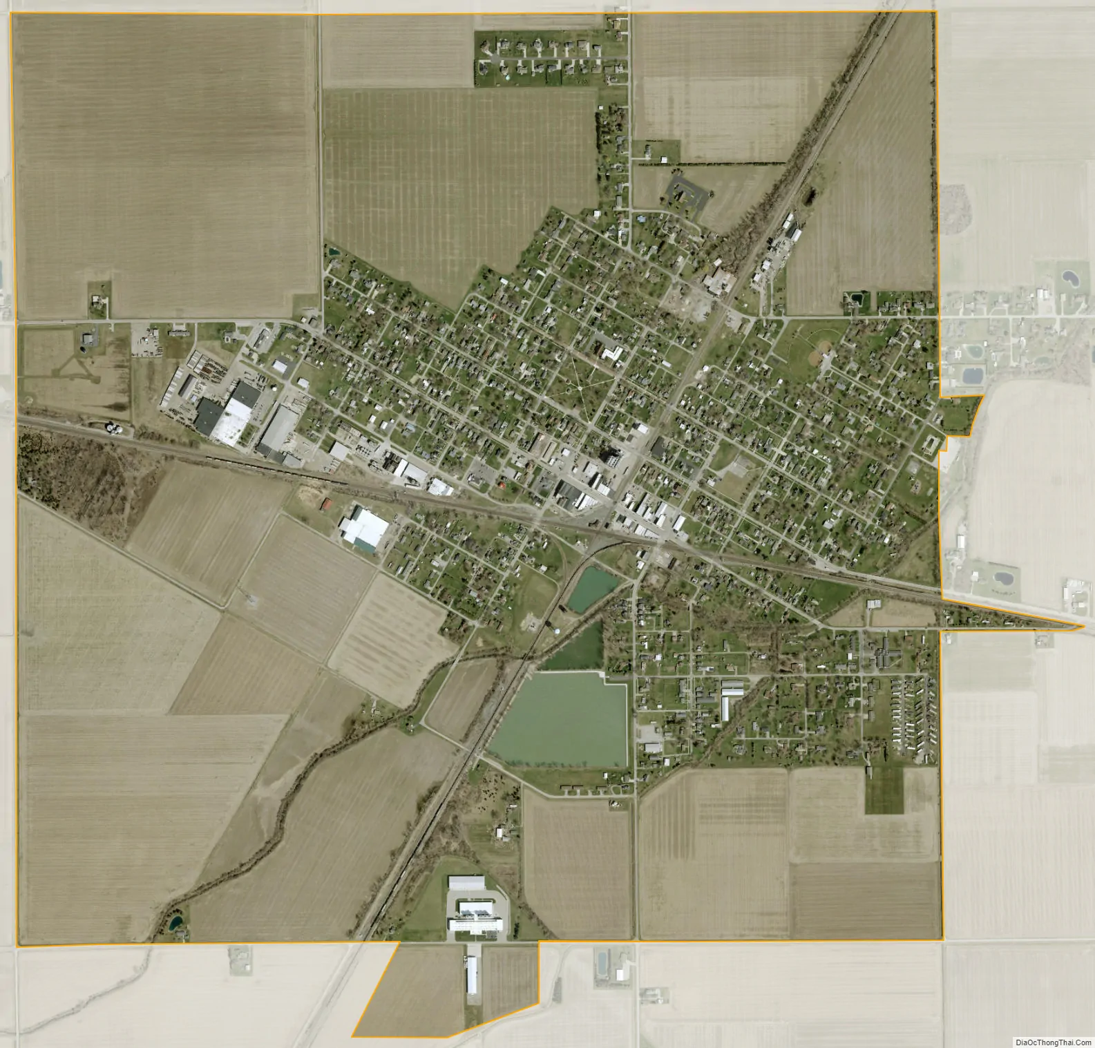
Deshler city Satellite Map
Geography
Deshler is located at 41°12′25″N 83°54′9″W / 41.20694°N 83.90250°W / 41.20694; -83.90250 (41.207011, -83.902445).
According to the United States Census Bureau, the village has a total area of 2.30 square miles (5.96 km), of which 2.26 square miles (5.85 km) is land and 0.04 square miles (0.10 km) is water.
Deshler’s street pattern is laid out around the railroad line.
CSX Transportation owns two lines (formerly Baltimore and Ohio and Chessie System), which run through the community, hosting approximately 50 to 70 trains daily and are popular among railfans/foamers.A YouTube channel called Virtual Railfan operates a continuous live webcast from the “diamond” intersection; trains may also be observed from “Crossroads Park”. The old depot that once stood on the site was demolished on Thursday, August 11th, 2022.
See also
Map of Ohio State and its subdivision:- Adams
- Allen
- Ashland
- Ashtabula
- Athens
- Auglaize
- Belmont
- Brown
- Butler
- Carroll
- Champaign
- Clark
- Clermont
- Clinton
- Columbiana
- Coshocton
- Crawford
- Cuyahoga
- Darke
- Defiance
- Delaware
- Erie
- Fairfield
- Fayette
- Franklin
- Fulton
- Gallia
- Geauga
- Greene
- Guernsey
- Hamilton
- Hancock
- Hardin
- Harrison
- Henry
- Highland
- Hocking
- Holmes
- Huron
- Jackson
- Jefferson
- Knox
- Lake
- Lake Erie
- Lawrence
- Licking
- Logan
- Lorain
- Lucas
- Madison
- Mahoning
- Marion
- Medina
- Meigs
- Mercer
- Miami
- Monroe
- Montgomery
- Morgan
- Morrow
- Muskingum
- Noble
- Ottawa
- Paulding
- Perry
- Pickaway
- Pike
- Portage
- Preble
- Putnam
- Richland
- Ross
- Sandusky
- Scioto
- Seneca
- Shelby
- Stark
- Summit
- Trumbull
- Tuscarawas
- Union
- Van Wert
- Vinton
- Warren
- Washington
- Wayne
- Williams
- Wood
- Wyandot
- Alabama
- Alaska
- Arizona
- Arkansas
- California
- Colorado
- Connecticut
- Delaware
- District of Columbia
- Florida
- Georgia
- Hawaii
- Idaho
- Illinois
- Indiana
- Iowa
- Kansas
- Kentucky
- Louisiana
- Maine
- Maryland
- Massachusetts
- Michigan
- Minnesota
- Mississippi
- Missouri
- Montana
- Nebraska
- Nevada
- New Hampshire
- New Jersey
- New Mexico
- New York
- North Carolina
- North Dakota
- Ohio
- Oklahoma
- Oregon
- Pennsylvania
- Rhode Island
- South Carolina
- South Dakota
- Tennessee
- Texas
- Utah
- Vermont
- Virginia
- Washington
- West Virginia
- Wisconsin
- Wyoming