Napoleon is a city in and the county seat of Henry County, Ohio, United States, along the Maumee River 44 miles southwest of Toledo. As of the 2010 census, the city had a total population of 8,749.
| Name: | Napoleon city |
|---|---|
| LSAD Code: | 25 |
| LSAD Description: | city (suffix) |
| State: | Ohio |
| County: | Henry County |
| Elevation: | 679 ft (207 m) |
| Total Area: | 6.58 sq mi (17.04 km²) |
| Land Area: | 6.21 sq mi (16.10 km²) |
| Water Area: | 0.36 sq mi (0.94 km²) |
| Total Population: | 8,862 |
| Population Density: | 1,426.13/sq mi (550.60/km²) |
| ZIP code: | 43545, 43550 |
| Area code: | 419 |
| FIPS code: | 3953550 |
| GNISfeature ID: | 1043773 |
| Website: | http://www.napoleonohio.cc/ |
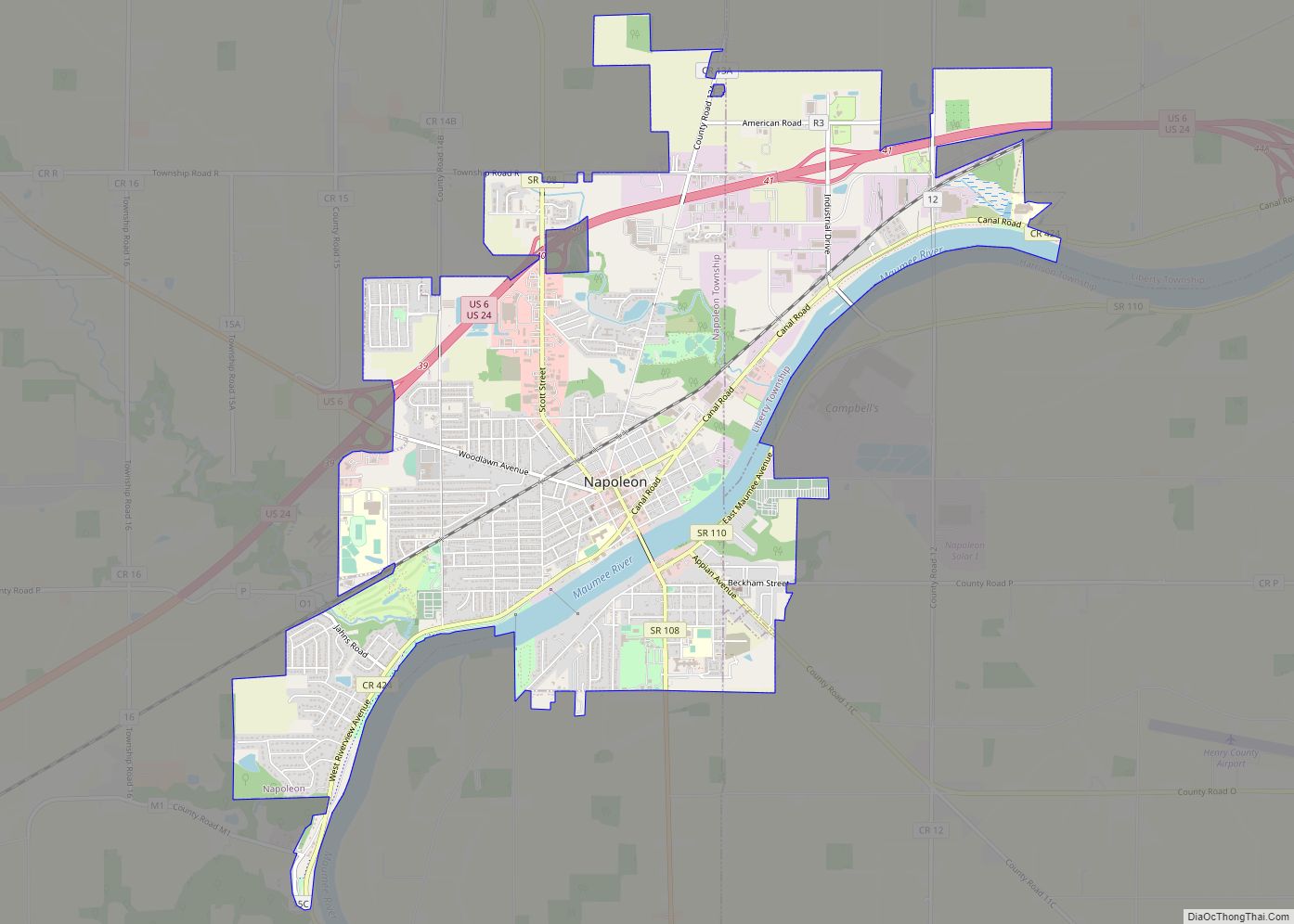
Online Interactive Map
Click on ![]() to view map in "full screen" mode.
to view map in "full screen" mode.
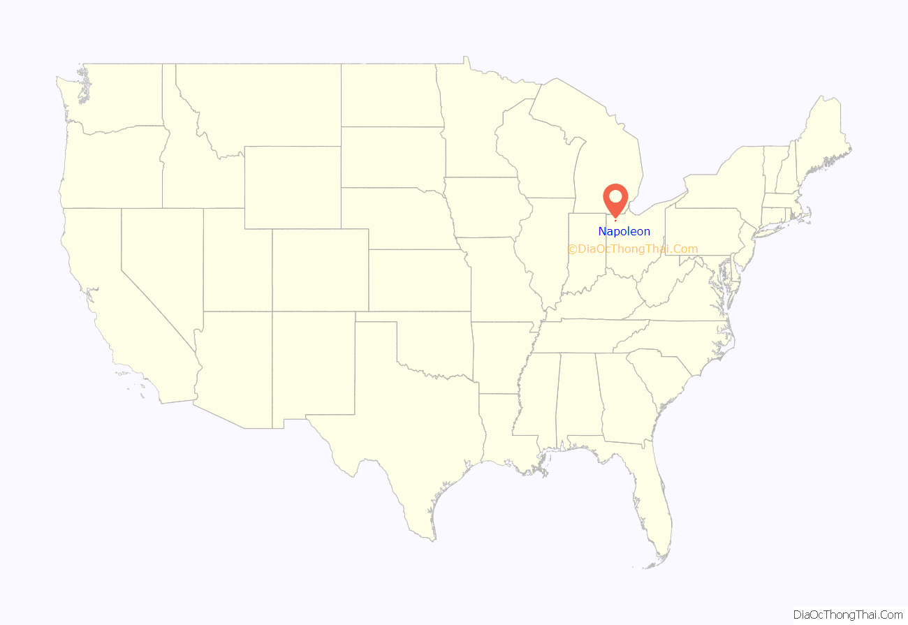
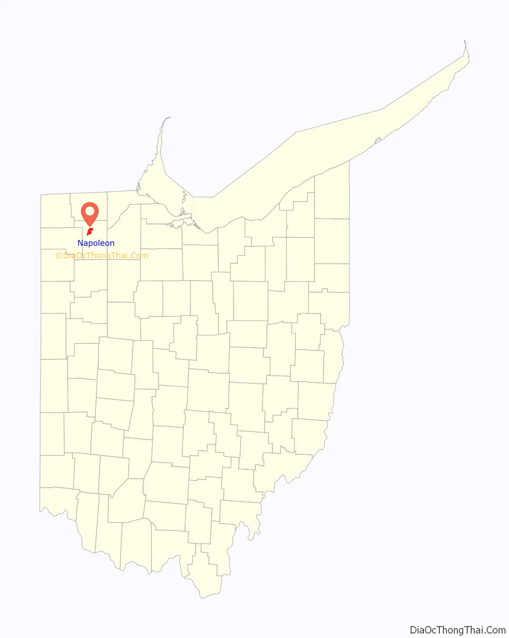
Napoleon location map. Where is Napoleon city?
History
The area around the town was once known as “the Great Black Swamp”. This area was opened to European settlement following the Battle of Fallen Timbers in 1794, which took place about 26 miles to the east. The City of Napoleon was founded in 1832 and named for French emperor Napoleon Bonaparte. The Miami and Erie Canal was finished in 1843, bringing German immigrants to the area. By the 1880s, the town had more than 3,000 residents; the population growth due in part to the town’s location on the Miami and Erie Canal and two separate railroad lines. At the time, most employment existed through businesses which made products for farmers in the surrounding countryside.
Four buildings in Napoleon are listed on the National Register of Historic Places: the county courthouse, the sheriff’s house and jail, First Presbyterian Church, and St. Augustine’s Catholic Church.
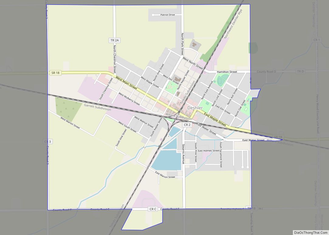
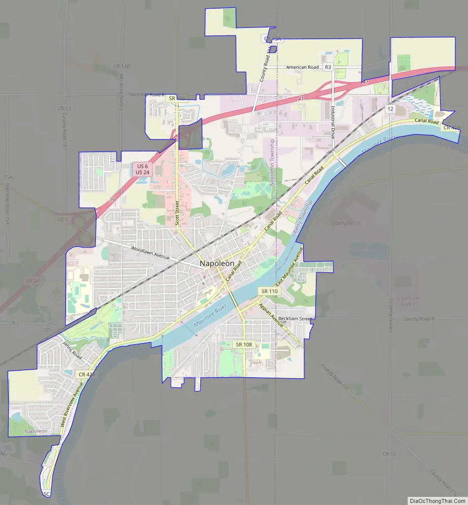
Napoleon Road Map
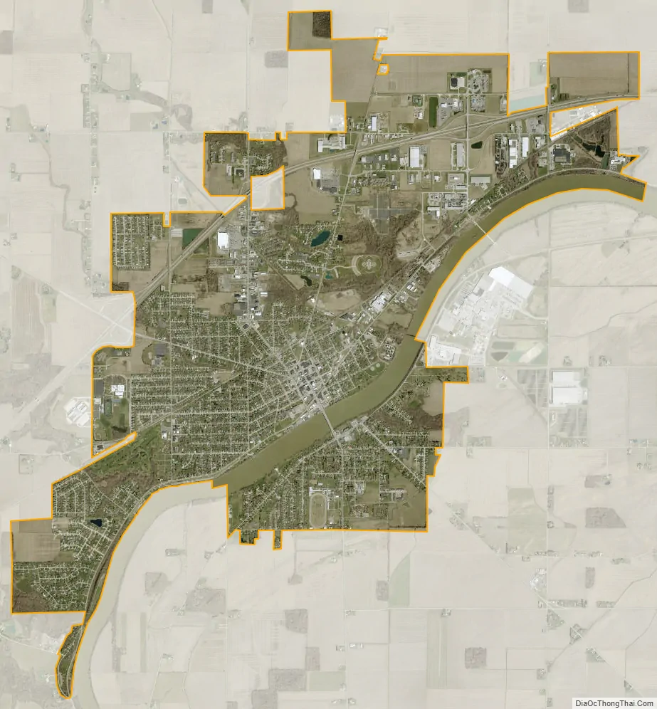
Napoleon city Satellite Map
Geography
Napoleon is located at 41°23′31″N 84°7′36″W / 41.39194°N 84.12667°W / 41.39194; -84.12667 (41.392028, -84.126648).
According to the United States Census Bureau, the city has a total area of 6.59 square miles (17.07 km), of which 6.19 square miles (16.03 km) is land and 0.40 square miles (1.04 km) is water.
See also
Map of Ohio State and its subdivision:- Adams
- Allen
- Ashland
- Ashtabula
- Athens
- Auglaize
- Belmont
- Brown
- Butler
- Carroll
- Champaign
- Clark
- Clermont
- Clinton
- Columbiana
- Coshocton
- Crawford
- Cuyahoga
- Darke
- Defiance
- Delaware
- Erie
- Fairfield
- Fayette
- Franklin
- Fulton
- Gallia
- Geauga
- Greene
- Guernsey
- Hamilton
- Hancock
- Hardin
- Harrison
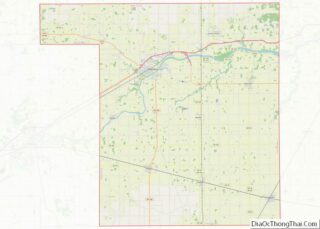
- Henry
- Highland
- Hocking
- Holmes
- Huron
- Jackson
- Jefferson
- Knox
- Lake
- Lake Erie
- Lawrence
- Licking
- Logan
- Lorain
- Lucas
- Madison
- Mahoning
- Marion
- Medina
- Meigs
- Mercer
- Miami
- Monroe
- Montgomery
- Morgan
- Morrow
- Muskingum
- Noble
- Ottawa
- Paulding
- Perry
- Pickaway
- Pike
- Portage
- Preble
- Putnam
- Richland
- Ross
- Sandusky
- Scioto
- Seneca
- Shelby
- Stark
- Summit
- Trumbull
- Tuscarawas
- Union
- Van Wert
- Vinton
- Warren
- Washington
- Wayne
- Williams
- Wood
- Wyandot
- Alabama
- Alaska
- Arizona
- Arkansas
- California
- Colorado
- Connecticut
- Delaware
- District of Columbia
- Florida
- Georgia
- Hawaii
- Idaho
- Illinois
- Indiana
- Iowa
- Kansas
- Kentucky
- Louisiana
- Maine
- Maryland
- Massachusetts
- Michigan
- Minnesota
- Mississippi
- Missouri
- Montana
- Nebraska
- Nevada
- New Hampshire
- New Jersey
- New Mexico
- New York
- North Carolina
- North Dakota
- Ohio
- Oklahoma
- Oregon
- Pennsylvania
- Rhode Island
- South Carolina
- South Dakota
- Tennessee
- Texas
- Utah
- Vermont
- Virginia
- Washington
- West Virginia
- Wisconsin
- Wyoming