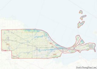
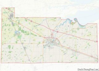
Elmore is a village in Ottawa and Sandusky counties in the U.S. state of Ohio. The population was 1,410 at the 2010 census.
The Ottawa County portion of Elmore is part of the Toledo Metropolitan Statistical Area, while the Sandusky County portion is part of the Fremont Micropolitan Statistical Area.
| Name: | Elmore village |
|---|---|
| LSAD Code: | 47 |
| LSAD Description: | village (suffix) |
| State: | Ohio |
| County: | Ottawa County, Sandusky County |
| Elevation: | 604 ft (184 m) |
| Total Area: | 0.82 sq mi (2.13 km²) |
| Land Area: | 0.82 sq mi (2.13 km²) |
| Water Area: | 0.00 sq mi (0.00 km²) |
| Total Population: | 1,370 |
| Population Density: | 1,664.64/sq mi (643.07/km²) |
| ZIP code: | 43416 |
| Area code: | 419 |
| FIPS code: | 3925144 |
| GNISfeature ID: | 1048703 |
| Website: | http://www.village.elmore.oh.us/ |
Online Interactive Map
Click on ![]() to view map in "full screen" mode.
to view map in "full screen" mode.
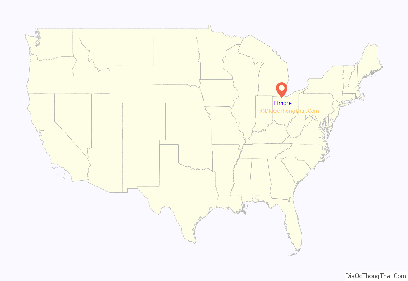
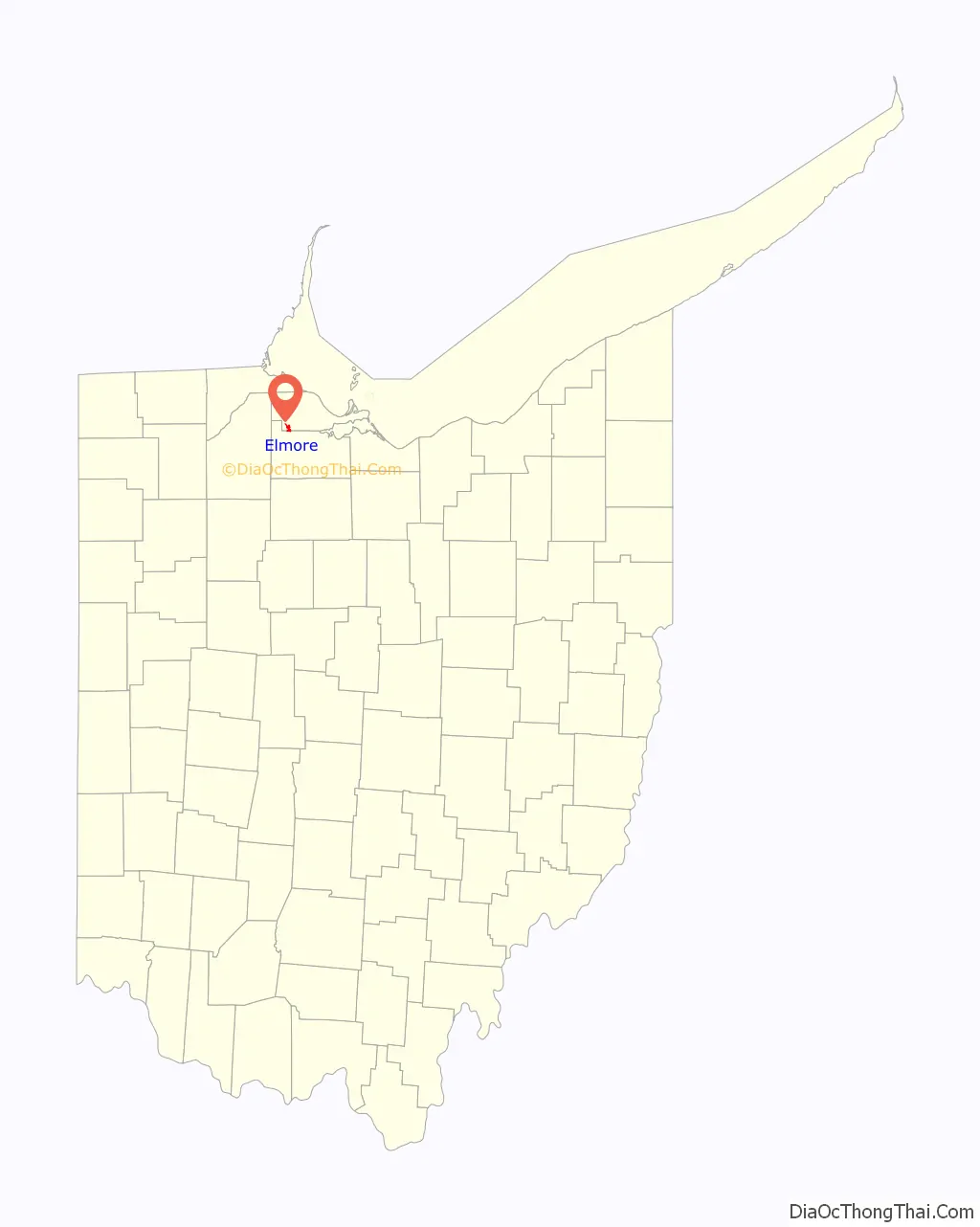
Elmore location map. Where is Elmore village?
History
Elmore is located in what used to be known as the Black Swamp, a sprawling area of marsh that covered the majority of northwest Ohio, and was primarily inhabited by Native Americans until the 19th century. It is believed that the Portage River, which runs alongside the village, most likely derives its name from early explorers who were forced to portage or carry their canoes and boats around the river’s intermittent shallows and rapids. German settlers during the first half of the 1800s began the long process of draining the land and clear cutting the dense forest exposing the nutrient rich soil, which, along with a once thriving railroad, provided the foundation for the village’s early growth and development. Elmore was surveyed and platted on 2/10/1851. The land surrounding Elmore is tabletop flat. Several sawmills in the vicinity provided the badly needed “planks” (boards) for the muddy “plank road”, designated as U.S. Route 20, between Fremont, Ohio and Perrysburg, Ohio. The Ohio Turnpike replaced US 20 as the main avenue across northern Ohio, but US 20 is still widely used. The building of the Turnpike in the 1950s affected every town along US 20, illustrated by abandoned motels and restaurants along its course.
Elmore was the site of the original manufacture of the Elmore automobile, one of the first companies bought up by W.C. Durant to form General Motors, until the factory was relocated to Clyde. The nearby beryllium plant is a key player in nuclear power, nuclear weaponry, and space program technology.
Present-day Elmore is a small community with a business district that has struggled to achieve success in recent years. The New York Central railroad has been gone for many decades, and the village has faced challenges related to a decreased transportation role after construction of the Ohio Turnpike, which bypassed the village. However, the increasing ease of modern travel and the construction of a Turnpike interchange in 1997 have created new opportunities for the village. Many locals commute to Toledo or other near-by cities and towns for work while the village promotes itself as a place for others to play. In recent years, the presence of several new stores has brought some success to the downtown area as a destination and village leaders have attempted to cultivate that image with various measures such as old-fashioned street posts and a refurbished train depot. In recent years, the annual Portage River Festival, various other local events, and a fairly well known headless motorcycle-riding ghost are what tend to bring people into the area.
In 2011, Elmore attracted national news coverage for its unique mayoral race featuring incumbent Lowell Krumnow and his older brother, Councilman James Krumnow.
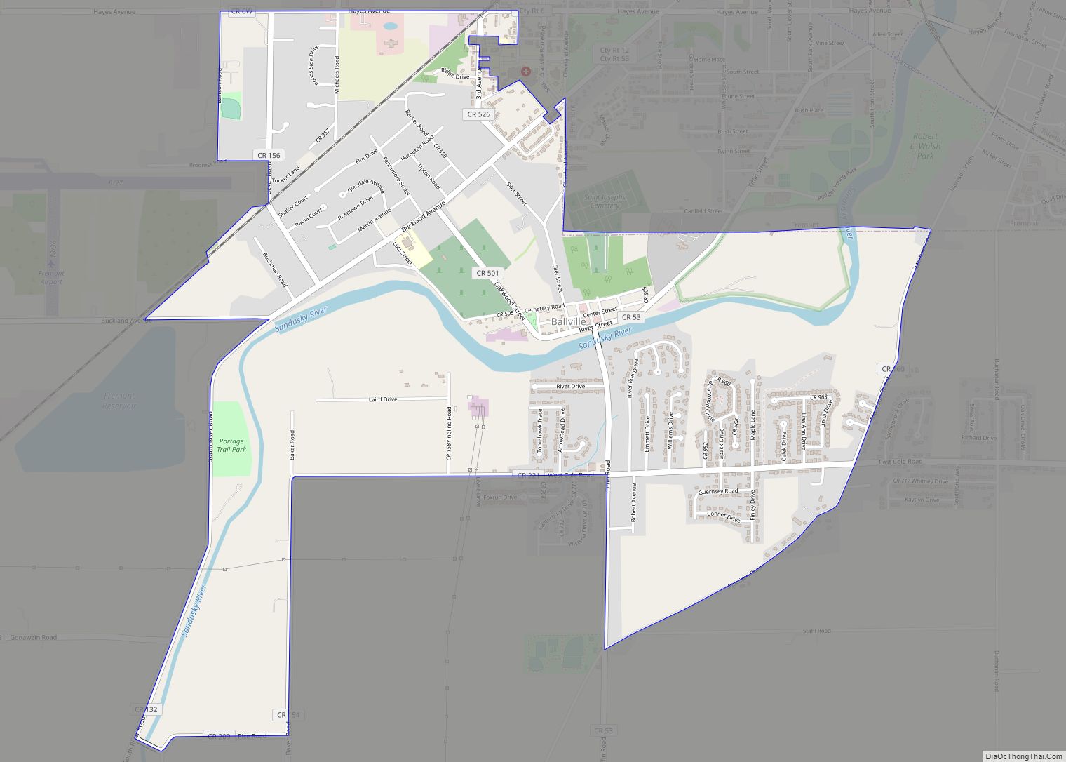
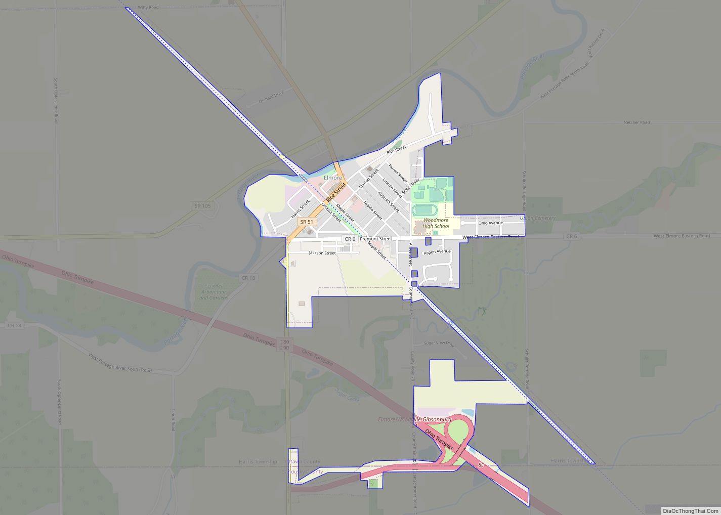
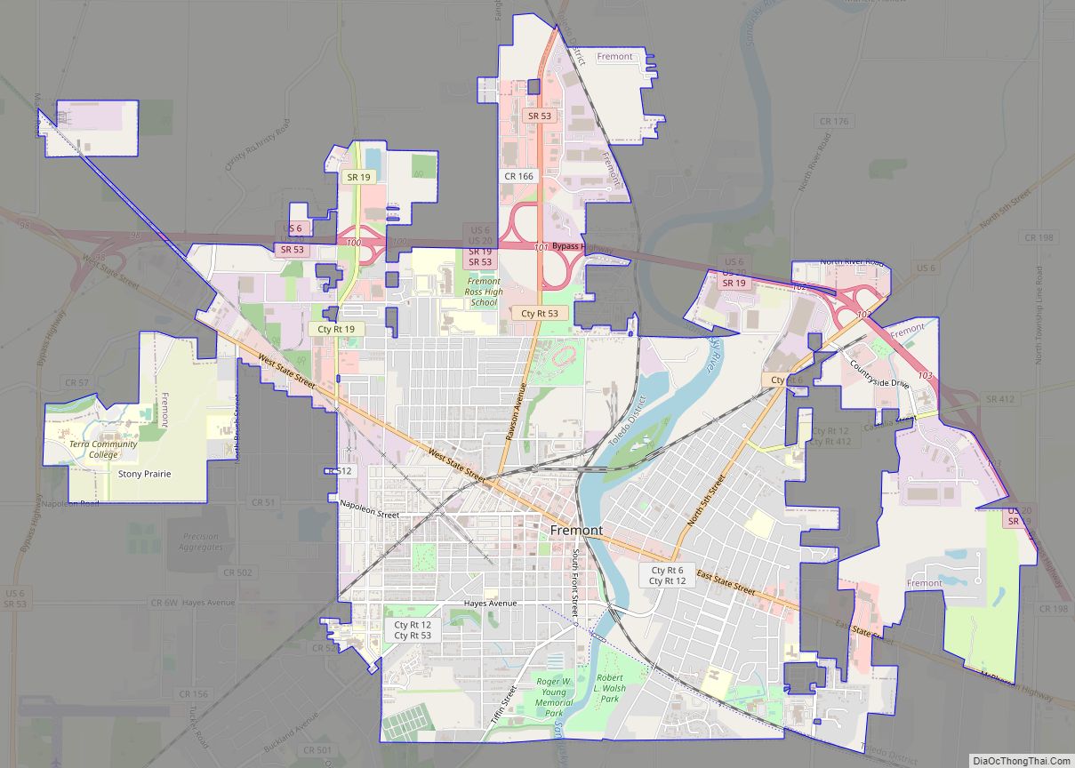
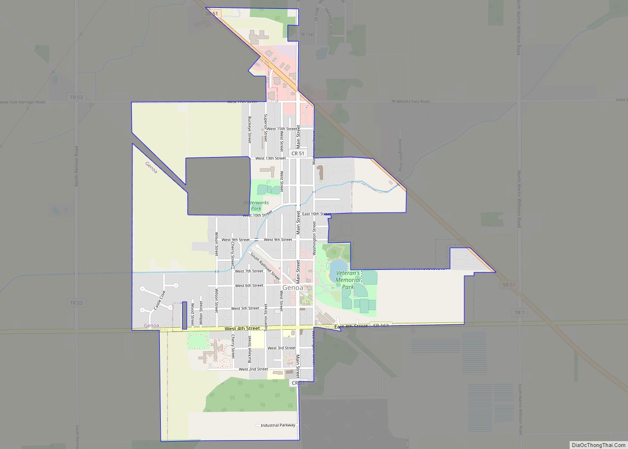
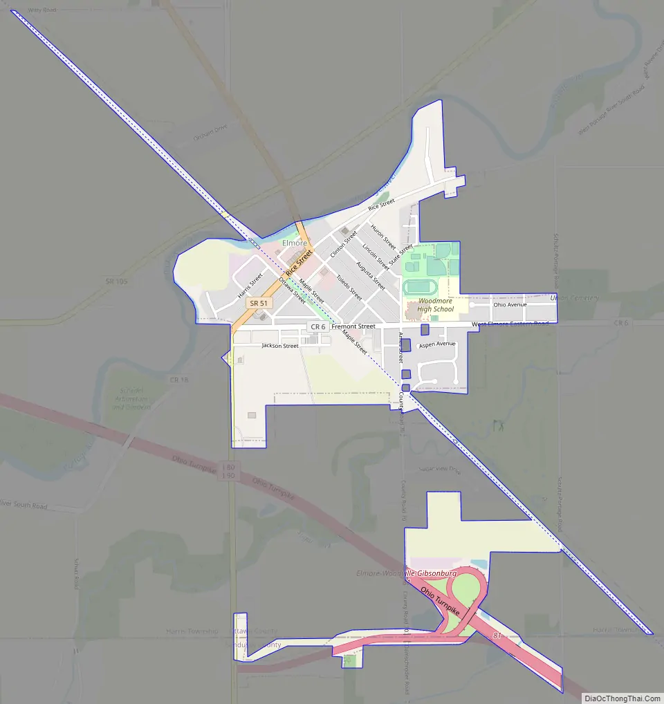
Elmore Road Map
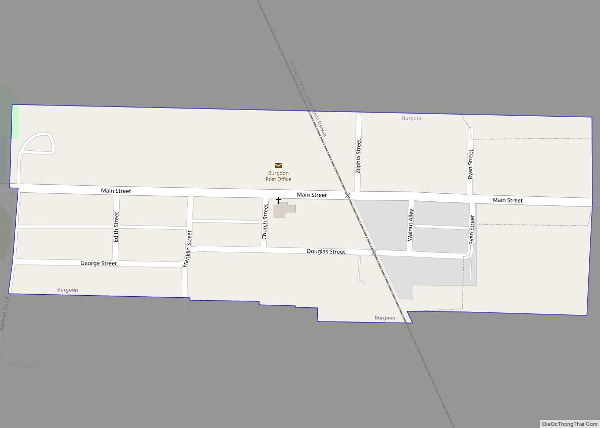
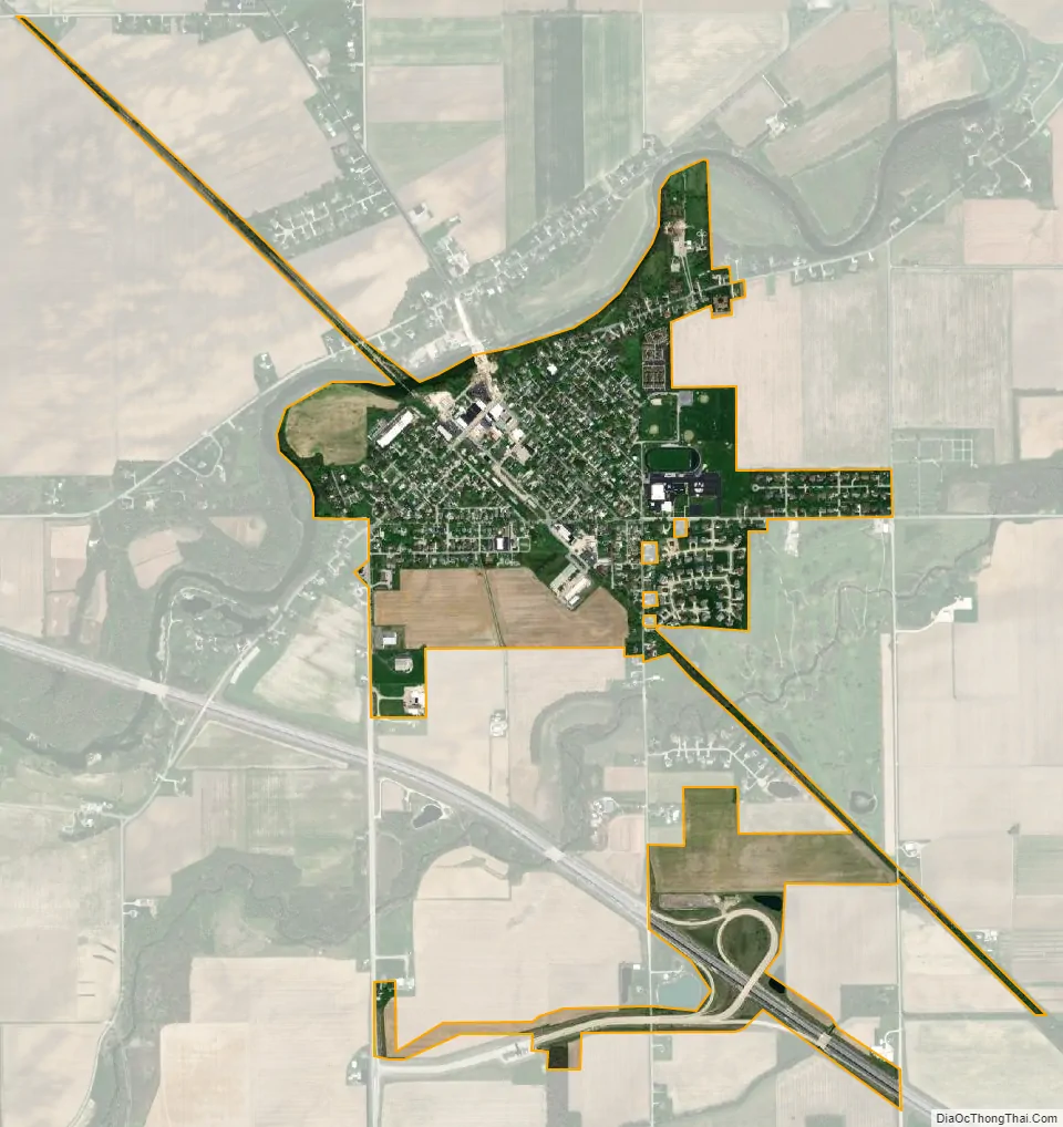
Elmore city Satellite Map
Geography
Elmore is located at 41°28′12″N 83°17′32″W / 41.47000°N 83.29222°W / 41.47000; -83.29222 (41.470067, -83.292115).
According to the United States Census Bureau, the village has a total area of 0.81 square miles (2.10 km), all land.
See also
Map of Ohio State and its subdivision:- Adams
- Allen
- Ashland
- Ashtabula
- Athens
- Auglaize
- Belmont
- Brown
- Butler
- Carroll
- Champaign
- Clark
- Clermont
- Clinton
- Columbiana
- Coshocton
- Crawford
- Cuyahoga
- Darke
- Defiance
- Delaware
- Erie
- Fairfield
- Fayette
- Franklin
- Fulton
- Gallia
- Geauga
- Greene
- Guernsey
- Hamilton
- Hancock
- Hardin
- Harrison
- Henry
- Highland
- Hocking
- Holmes
- Huron
- Jackson
- Jefferson
- Knox
- Lake
- Lake Erie
- Lawrence
- Licking
- Logan
- Lorain
- Lucas
- Madison
- Mahoning
- Marion
- Medina
- Meigs
- Mercer
- Miami
- Monroe
- Montgomery
- Morgan
- Morrow
- Muskingum
- Noble
- Ottawa
- Paulding
- Perry
- Pickaway
- Pike
- Portage
- Preble
- Putnam
- Richland
- Ross
- Sandusky
- Scioto
- Seneca
- Shelby
- Stark
- Summit
- Trumbull
- Tuscarawas
- Union
- Van Wert
- Vinton
- Warren
- Washington
- Wayne
- Williams
- Wood
- Wyandot
- Alabama
- Alaska
- Arizona
- Arkansas
- California
- Colorado
- Connecticut
- Delaware
- District of Columbia
- Florida
- Georgia
- Hawaii
- Idaho
- Illinois
- Indiana
- Iowa
- Kansas
- Kentucky
- Louisiana
- Maine
- Maryland
- Massachusetts
- Michigan
- Minnesota
- Mississippi
- Missouri
- Montana
- Nebraska
- Nevada
- New Hampshire
- New Jersey
- New Mexico
- New York
- North Carolina
- North Dakota
- Ohio
- Oklahoma
- Oregon
- Pennsylvania
- Rhode Island
- South Carolina
- South Dakota
- Tennessee
- Texas
- Utah
- Vermont
- Virginia
- Washington
- West Virginia
- Wisconsin
- Wyoming