Euclid is a city in Cuyahoga County, Ohio, United States. It is an inner ring suburb of Cleveland. The population was 49,692 at the 2020 census, making it the fourth largest city in Cuyahoga County, behind Cleveland, Parma and Lakewood.
| Name: | Euclid city |
|---|---|
| LSAD Code: | 25 |
| LSAD Description: | city (suffix) |
| State: | Ohio |
| County: | Cuyahoga County |
| Founded: | 1796 |
| Incorporated: | 1903 (village) |
| Elevation: | 617 ft (188 m) |
| Total Area: | 11.48 sq mi (29.74 km²) |
| Land Area: | 10.65 sq mi (27.60 km²) |
| Water Area: | 0.83 sq mi (2.14 km²) |
| Total Population: | 49,692 |
| Population Density: | 4,663.73/sq mi (1,800.65/km²) |
| Area code: | 216 |
| FIPS code: | 3925704 |
| GNISfeature ID: | 1072210 |
| Website: | www.cityofeuclid.com |
Online Interactive Map
Click on ![]() to view map in "full screen" mode.
to view map in "full screen" mode.
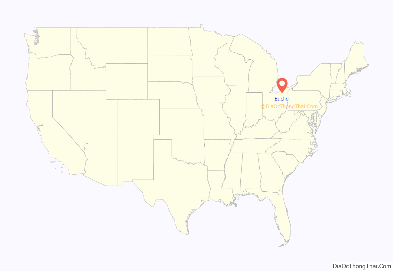
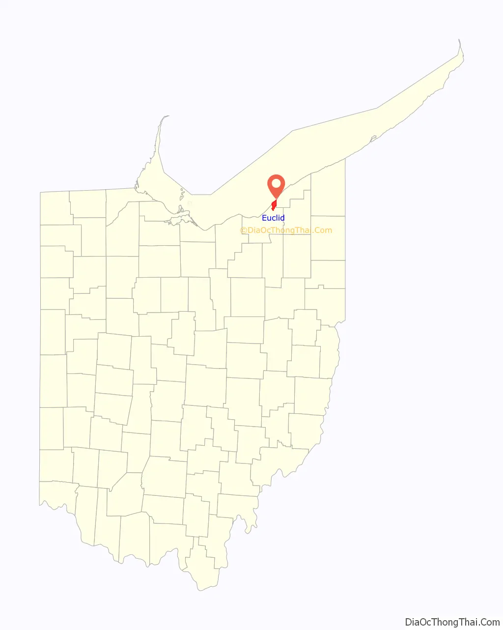
Euclid location map. Where is Euclid city?
History
The City of Euclid was originally a part of Euclid Township, first mapped in 1796 and named for Euclid of Alexandria, the ancient Greek mathematician. The first sparse settlement in the township began in 1798, with major settlement beginning in the spring of 1804. The first settlers in what is now the City of Euclid were Joseph and Chloe Burke, David and Mary Dille and William and Jamima Coleman, and their children. Following the Civil War the lake plain of Euclid Township was known for numerous excellent vineyards. Euclid Village incorporated out of the northeast portion of the township in 1903. It developed as an industrial center in the early 20th century, and became a city in 1930.
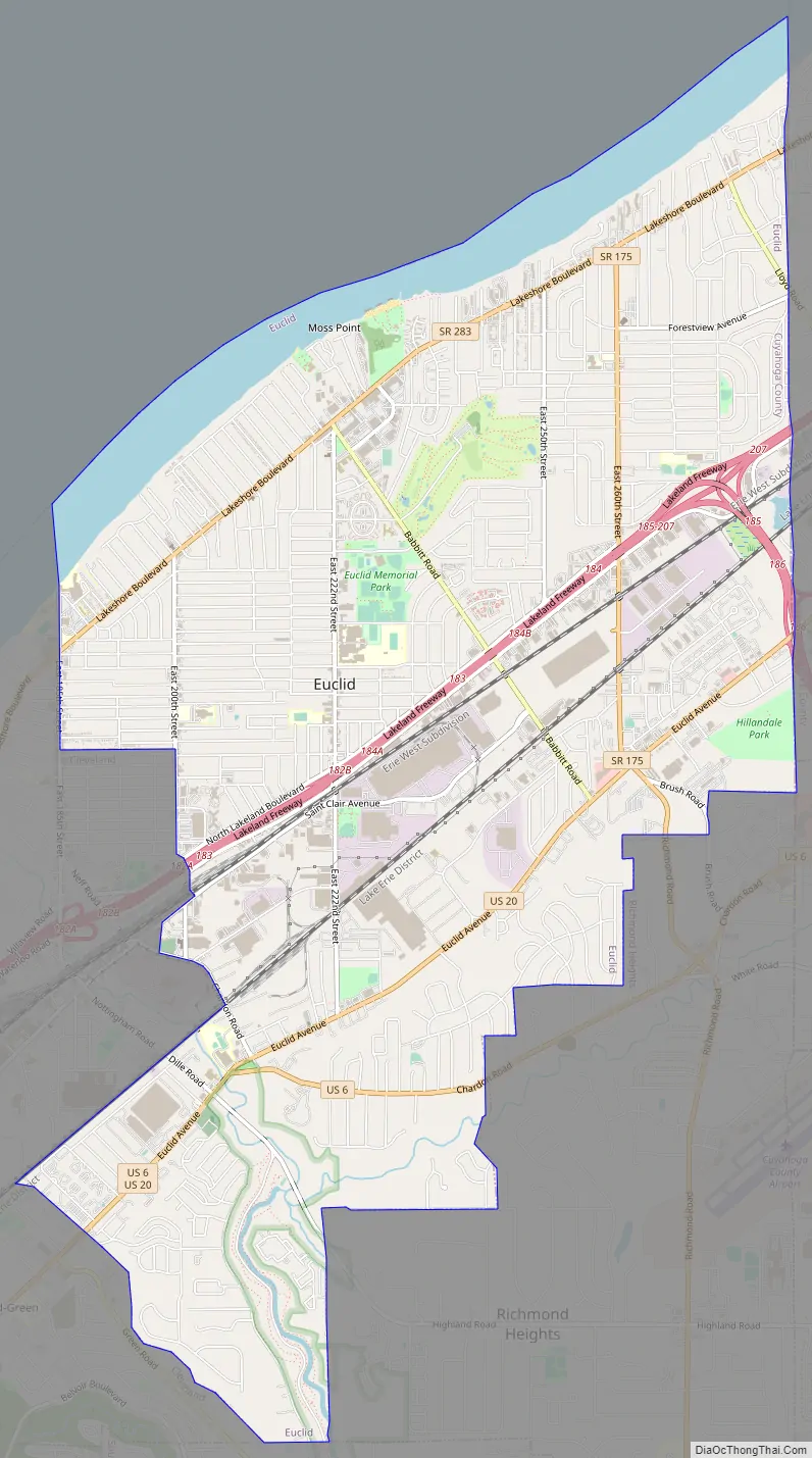
Euclid Road Map
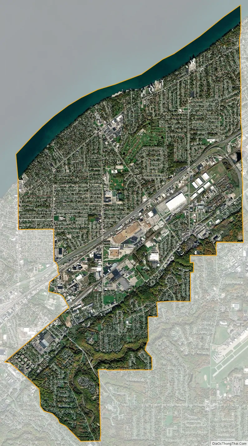
Euclid city Satellite Map
Geography
Euclid is located at 41°35′44″N 81°31′9″W / 41.59556°N 81.51917°W / 41.59556; -81.51917 (41.595563, -81.519176).
According to the United States Census Bureau, the city has a total area of 11.48 square miles (29.73 km), of which 10.63 square miles (27.53 km) is land and 0.85 square miles (2.20 km) is water. It is on the shore of Lake Erie, with a beachfront area along its north edge.
Bordering Euclid are Cleveland on the west, South Euclid and Richmond Heights on the south, Willowick, Wickliffe, and Willoughby Hills on the east, and Lake Erie on the north.
It is part of the Lake Erie Snowbelt region, prone to snow squalls blowing off Lake Erie, particularly before the lake freezes over in winter.
See also
Map of Ohio State and its subdivision:- Adams
- Allen
- Ashland
- Ashtabula
- Athens
- Auglaize
- Belmont
- Brown
- Butler
- Carroll
- Champaign
- Clark
- Clermont
- Clinton
- Columbiana
- Coshocton
- Crawford
- Cuyahoga
- Darke
- Defiance
- Delaware
- Erie
- Fairfield
- Fayette
- Franklin
- Fulton
- Gallia
- Geauga
- Greene
- Guernsey
- Hamilton
- Hancock
- Hardin
- Harrison
- Henry
- Highland
- Hocking
- Holmes
- Huron
- Jackson
- Jefferson
- Knox
- Lake
- Lake Erie
- Lawrence
- Licking
- Logan
- Lorain
- Lucas
- Madison
- Mahoning
- Marion
- Medina
- Meigs
- Mercer
- Miami
- Monroe
- Montgomery
- Morgan
- Morrow
- Muskingum
- Noble
- Ottawa
- Paulding
- Perry
- Pickaway
- Pike
- Portage
- Preble
- Putnam
- Richland
- Ross
- Sandusky
- Scioto
- Seneca
- Shelby
- Stark
- Summit
- Trumbull
- Tuscarawas
- Union
- Van Wert
- Vinton
- Warren
- Washington
- Wayne
- Williams
- Wood
- Wyandot
- Alabama
- Alaska
- Arizona
- Arkansas
- California
- Colorado
- Connecticut
- Delaware
- District of Columbia
- Florida
- Georgia
- Hawaii
- Idaho
- Illinois
- Indiana
- Iowa
- Kansas
- Kentucky
- Louisiana
- Maine
- Maryland
- Massachusetts
- Michigan
- Minnesota
- Mississippi
- Missouri
- Montana
- Nebraska
- Nevada
- New Hampshire
- New Jersey
- New Mexico
- New York
- North Carolina
- North Dakota
- Ohio
- Oklahoma
- Oregon
- Pennsylvania
- Rhode Island
- South Carolina
- South Dakota
- Tennessee
- Texas
- Utah
- Vermont
- Virginia
- Washington
- West Virginia
- Wisconsin
- Wyoming


