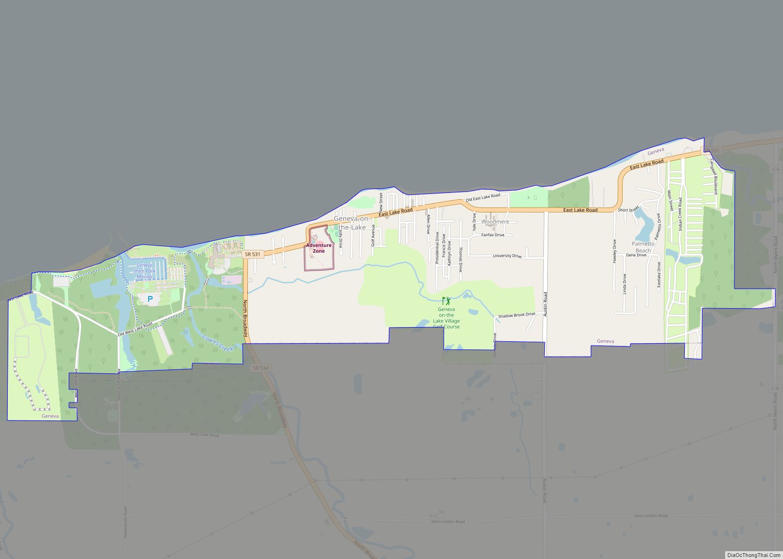
Geneva-on-the-Lake is a village in northwestern Ashtabula County, Ohio, United States, along the southern shore of Lake Erie. A small resort town, the population was 916 at the 2020 census. It is part of the Ashtabula micropolitan area, 46 miles (74 km) northeast of Cleveland.
| Name: | Geneva-on-the-Lake village |
|---|---|
| LSAD Code: | 47 |
| LSAD Description: | village (suffix) |
| State: | Ohio |
| County: | Ashtabula County |
| Elevation: | 600 ft (183 m) |
| Total Area: | 2.21 sq mi (5.73 km²) |
| Land Area: | 2.20 sq mi (5.69 km²) |
| Water Area: | 0.02 sq mi (0.04 km²) |
| Total Population: | 916 |
| Population Density: | 417.12/sq mi (161.04/km²) |
| ZIP code: | 44041 |
| Area code: | 440 |
| FIPS code: | 3929652 |
| GNISfeature ID: | 1064710 |
| Website: | visitgenevaonthelake.com |
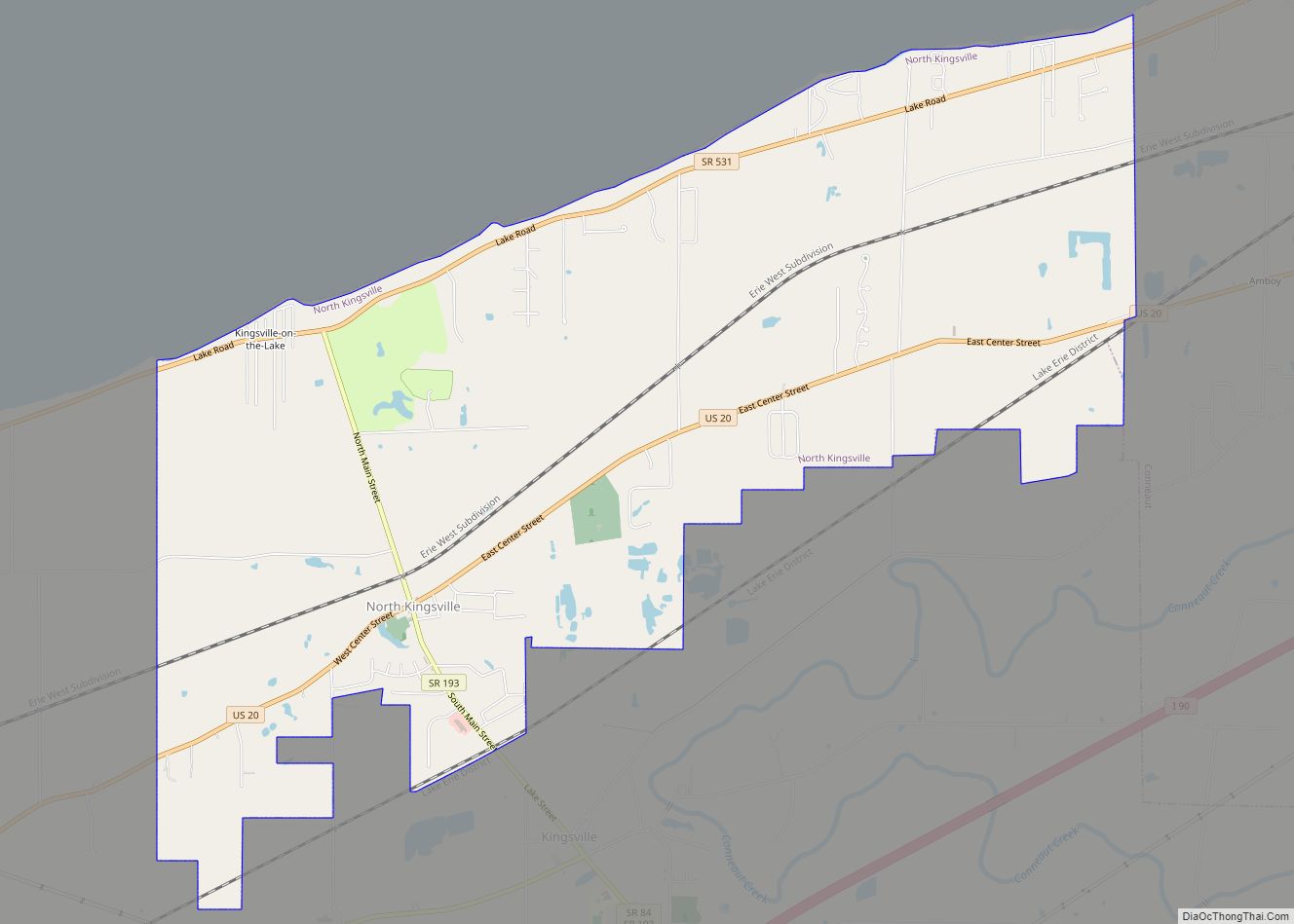
Online Interactive Map
Click on ![]() to view map in "full screen" mode.
to view map in "full screen" mode.
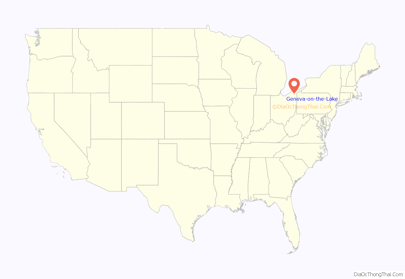
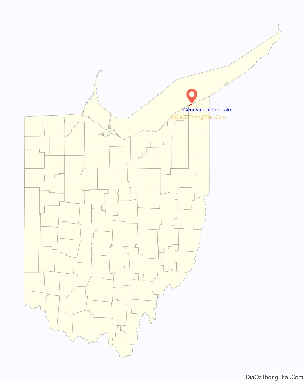
Geneva-on-the-Lake location map. Where is Geneva-on-the-Lake village?
History
Settlement of the original area known as the Connecticut Western Reserve started in the early 1800s, as investors, farmers, and frontiersmen from New England and the Mid-Atlantic began to farm in the area and capitalize on the natural resources of Lake Erie and its shoreline. Industry along the lake shore continued to develop, including a lime burning business along Cowles Creek on the west, along with small-scale lumber processing and ship building at Indian Creek on the east. In 1869, Cullen Spencer and Edward Pratt purchased property known as Sturgeon Point (now Mapleton Beach) and opened it as a public picnic grounds with beach access. Later, a pony-powered carousel of sorts would be added which later help establish the town as Ohio’s first summer resort.
In order to accommodate more visitors, residents built and established boarding houses and inns; the first being what is now the Jennie Munger Gregory Museum. Vacation residences continued to grow and expand through the early 1900s to include places such as the Idle-A-While and Shady Beach Inn. Erieview Park was started in 1945 by E.M. “Pop” Pera, and it grew to include nine adult and nine children’s amusement park rides including The Fright Zone, one of three scary dark rides created by the Allen Herschel Co. The park closed in 2006, but the Ferris wheel and carousel are still in operation nearby. Starting in 1964 with the purchase of Chestnut Grove, portions of land which were to become the Geneva-on-the-Lake State Park continued to grow through 1974 to include cabins, campgrounds, and a swimming beach.
Geneva-on-the-Lake Road Map
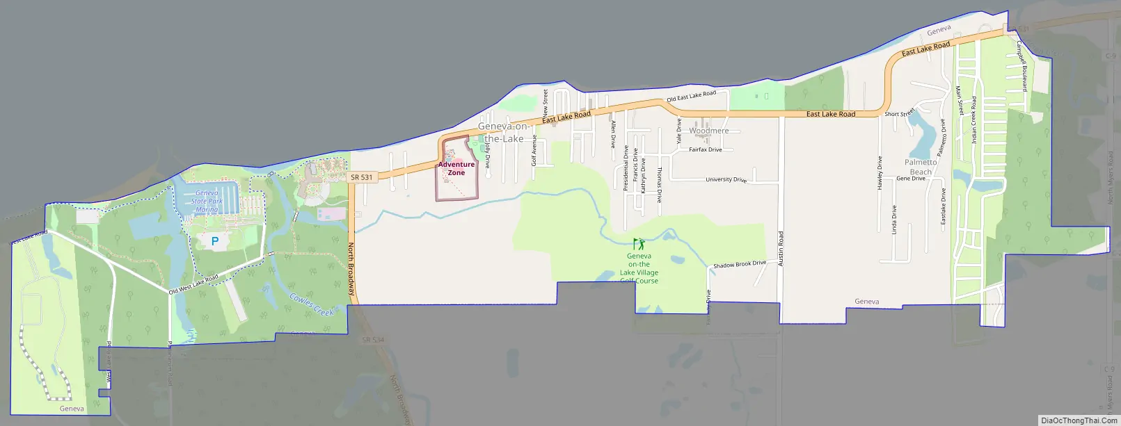
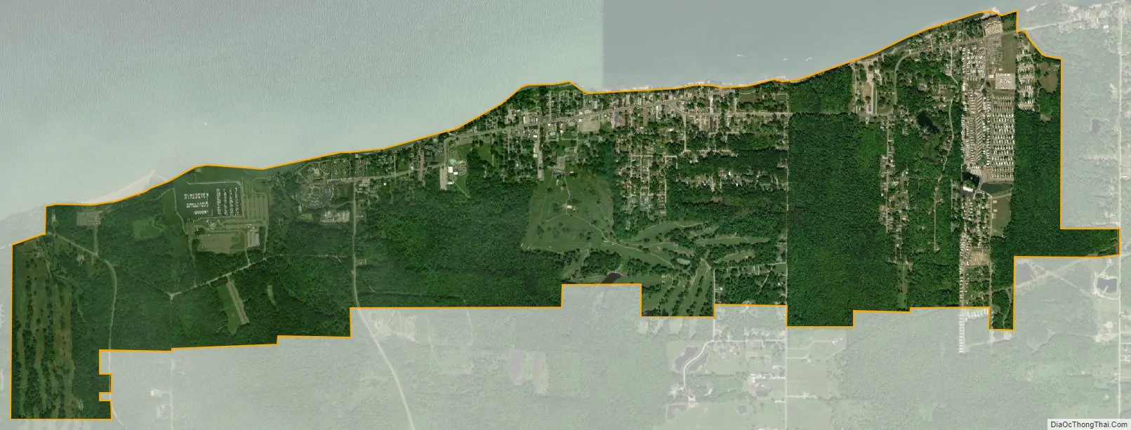
Geneva-on-the-Lake city Satellite Map
Geography
Geneva-on-the-Lake is located at 41°51′28″N 80°56′47″W / 41.85778°N 80.94639°W / 41.85778; -80.94639 (41.857753, -80.946372).
According to the United States Census Bureau, the village has a total area of 2.28 square miles (5.91 km), of which 2.26 square miles (5.85 km) is land and 0.02 square miles (0.05 km) is water.
See also
Map of Ohio State and its subdivision:- Adams
- Allen
- Ashland
- Ashtabula
- Athens
- Auglaize
- Belmont
- Brown
- Butler
- Carroll
- Champaign
- Clark
- Clermont
- Clinton
- Columbiana
- Coshocton
- Crawford
- Cuyahoga
- Darke
- Defiance
- Delaware
- Erie
- Fairfield
- Fayette
- Franklin
- Fulton
- Gallia
- Geauga
- Greene
- Guernsey
- Hamilton
- Hancock
- Hardin
- Harrison
- Henry
- Highland
- Hocking
- Holmes
- Huron
- Jackson
- Jefferson
- Knox
- Lake
- Lake Erie
- Lawrence
- Licking
- Logan
- Lorain
- Lucas
- Madison
- Mahoning
- Marion
- Medina
- Meigs
- Mercer
- Miami
- Monroe
- Montgomery
- Morgan
- Morrow
- Muskingum
- Noble
- Ottawa
- Paulding
- Perry
- Pickaway
- Pike
- Portage
- Preble
- Putnam
- Richland
- Ross
- Sandusky
- Scioto
- Seneca
- Shelby
- Stark
- Summit
- Trumbull
- Tuscarawas
- Union
- Van Wert
- Vinton
- Warren
- Washington
- Wayne
- Williams
- Wood
- Wyandot
- Alabama
- Alaska
- Arizona
- Arkansas
- California
- Colorado
- Connecticut
- Delaware
- District of Columbia
- Florida
- Georgia
- Hawaii
- Idaho
- Illinois
- Indiana
- Iowa
- Kansas
- Kentucky
- Louisiana
- Maine
- Maryland
- Massachusetts
- Michigan
- Minnesota
- Mississippi
- Missouri
- Montana
- Nebraska
- Nevada
- New Hampshire
- New Jersey
- New Mexico
- New York
- North Carolina
- North Dakota
- Ohio
- Oklahoma
- Oregon
- Pennsylvania
- Rhode Island
- South Carolina
- South Dakota
- Tennessee
- Texas
- Utah
- Vermont
- Virginia
- Washington
- West Virginia
- Wisconsin
- Wyoming