Gibsonburg is a village in Sandusky County, Ohio, United States, about 33 miles (53 km) southeast of Toledo. The population was 2,452 at the 2020 census. The National Arbor Day Foundation has designated Gibsonburg as a Tree City USA.
| Name: | Gibsonburg village |
|---|---|
| LSAD Code: | 47 |
| LSAD Description: | village (suffix) |
| State: | Ohio |
| County: | Sandusky County |
| Elevation: | 686 ft (209 m) |
| Total Area: | 2.79 sq mi (7.23 km²) |
| Land Area: | 2.31 sq mi (5.99 km²) |
| Water Area: | 0.48 sq mi (1.24 km²) |
| Total Population: | 2,452 |
| Population Density: | 1,059.18/sq mi (409.02/km²) |
| ZIP code: | 43431 |
| Area code: | 419 |
| FIPS code: | 3930072 |
| GNISfeature ID: | 1061095 |
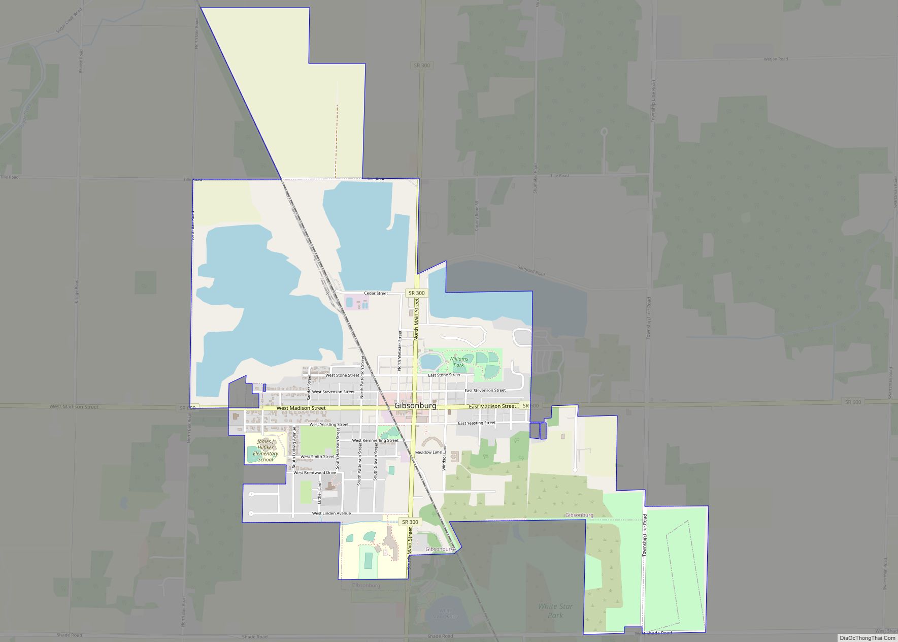
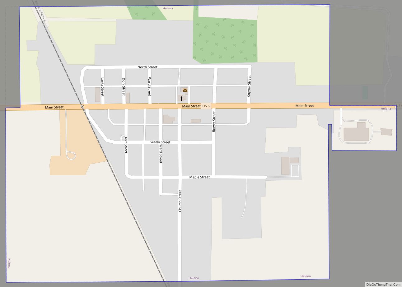
Online Interactive Map
Click on ![]() to view map in "full screen" mode.
to view map in "full screen" mode.
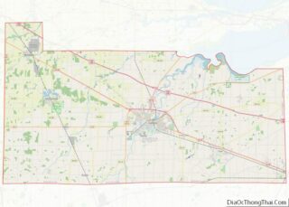
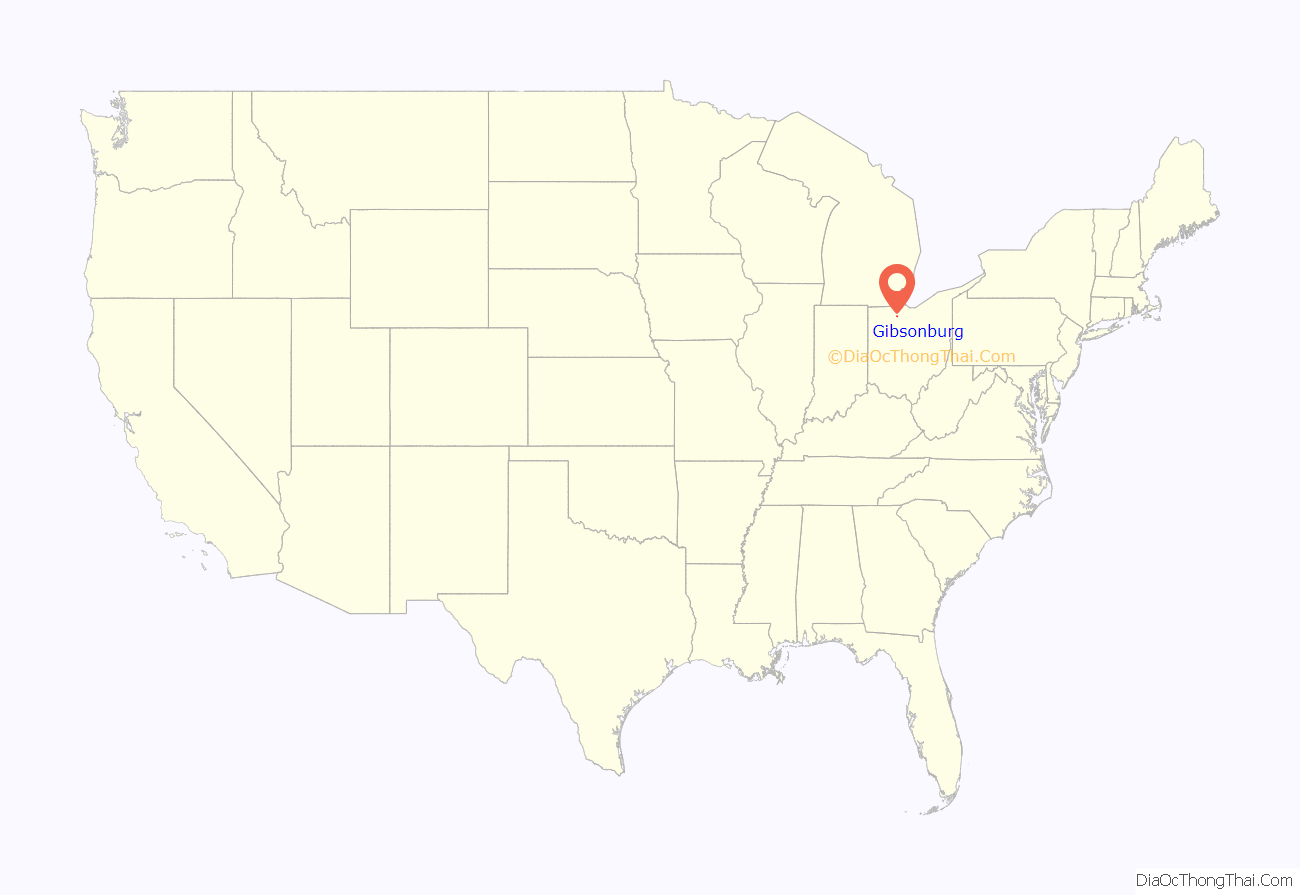
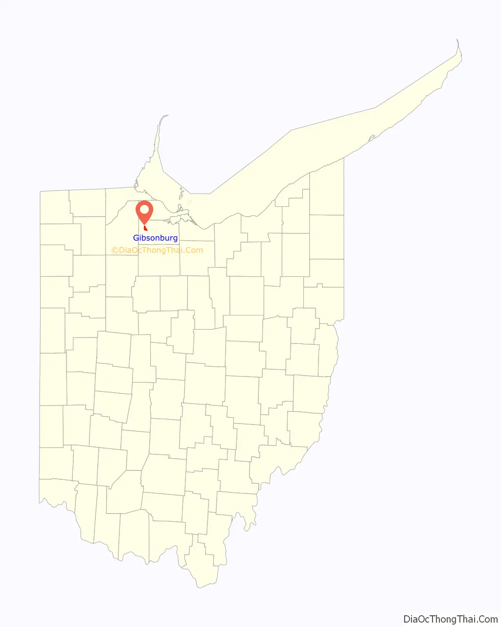
Gibsonburg location map. Where is Gibsonburg village?
History
Gibsonburg had its start in the year 1871, when General William H. Gibson laid out the town after the railroad had been extended to that point. Gibsonburg was incorporated as a village in 1880.
Gibsonburg Road Map
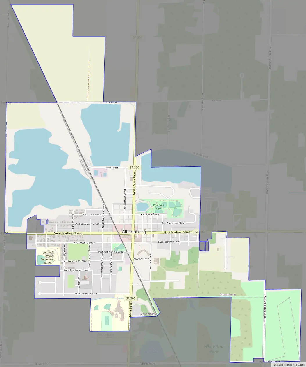
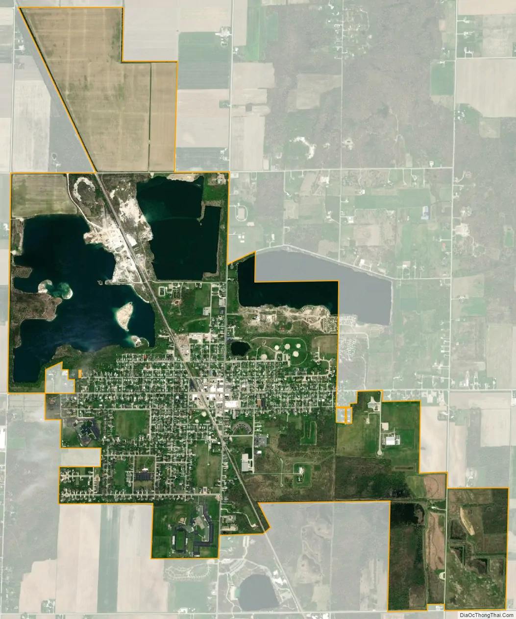
Gibsonburg city Satellite Map
Geography
Gibsonburg is located at 41°23′6″N 83°19′18″W / 41.38500°N 83.32167°W / 41.38500; -83.32167 (41.384999, -83.321794).
According to the United States Census Bureau, the village has a total area of 2.88 square miles (7.46 km), of which 2.40 square miles (6.22 km) is land and 0.48 square miles (1.24 km) is water.
See also
Map of Ohio State and its subdivision:- Adams
- Allen
- Ashland
- Ashtabula
- Athens
- Auglaize
- Belmont
- Brown
- Butler
- Carroll
- Champaign
- Clark
- Clermont
- Clinton
- Columbiana
- Coshocton
- Crawford
- Cuyahoga
- Darke
- Defiance
- Delaware
- Erie
- Fairfield
- Fayette
- Franklin
- Fulton
- Gallia
- Geauga
- Greene
- Guernsey
- Hamilton
- Hancock
- Hardin
- Harrison
- Henry
- Highland
- Hocking
- Holmes
- Huron
- Jackson
- Jefferson
- Knox
- Lake
- Lake Erie
- Lawrence
- Licking
- Logan
- Lorain
- Lucas
- Madison
- Mahoning
- Marion
- Medina
- Meigs
- Mercer
- Miami
- Monroe
- Montgomery
- Morgan
- Morrow
- Muskingum
- Noble
- Ottawa
- Paulding
- Perry
- Pickaway
- Pike
- Portage
- Preble
- Putnam
- Richland
- Ross
- Sandusky
- Scioto
- Seneca
- Shelby
- Stark
- Summit
- Trumbull
- Tuscarawas
- Union
- Van Wert
- Vinton
- Warren
- Washington
- Wayne
- Williams
- Wood
- Wyandot
- Alabama
- Alaska
- Arizona
- Arkansas
- California
- Colorado
- Connecticut
- Delaware
- District of Columbia
- Florida
- Georgia
- Hawaii
- Idaho
- Illinois
- Indiana
- Iowa
- Kansas
- Kentucky
- Louisiana
- Maine
- Maryland
- Massachusetts
- Michigan
- Minnesota
- Mississippi
- Missouri
- Montana
- Nebraska
- Nevada
- New Hampshire
- New Jersey
- New Mexico
- New York
- North Carolina
- North Dakota
- Ohio
- Oklahoma
- Oregon
- Pennsylvania
- Rhode Island
- South Carolina
- South Dakota
- Tennessee
- Texas
- Utah
- Vermont
- Virginia
- Washington
- West Virginia
- Wisconsin
- Wyoming