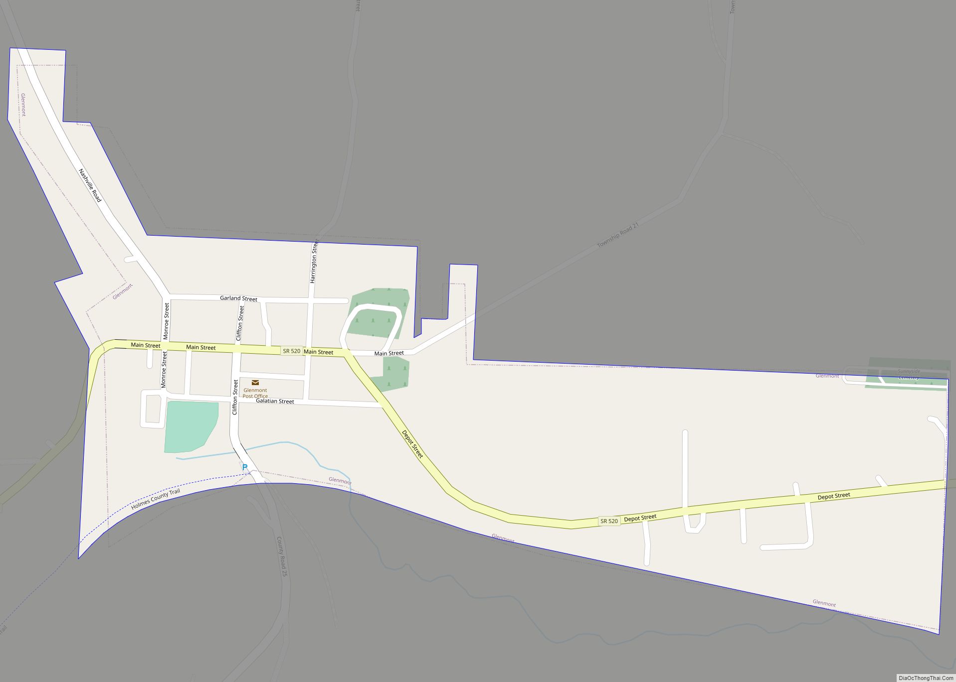
Glenmont is a village in Holmes County, Ohio, United States. The population was 272 at the 2010 census.
| Name: | Glenmont village |
|---|---|
| LSAD Code: | 47 |
| LSAD Description: | village (suffix) |
| State: | Ohio |
| County: | Holmes County |
| Elevation: | 879 ft (268 m) |
| Total Area: | 0.28 sq mi (0.71 km²) |
| Land Area: | 0.28 sq mi (0.71 km²) |
| Water Area: | 0.00 sq mi (0.00 km²) |
| Total Population: | 240 |
| Population Density: | 872.73/sq mi (336.81/km²) |
| ZIP code: | 44628 |
| Area code: | 330 |
| FIPS code: | 3930506 |
| GNISfeature ID: | 1064731 |
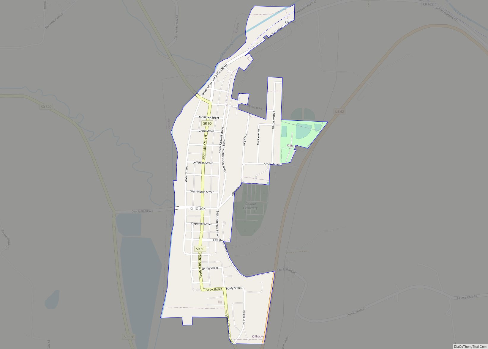
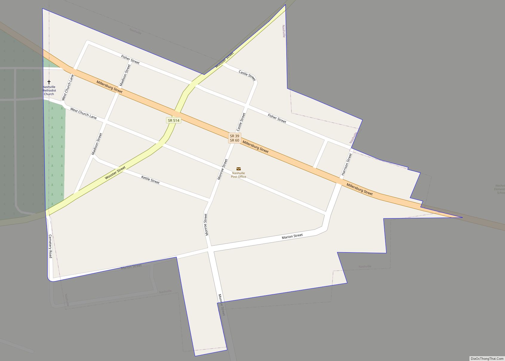
Online Interactive Map
Click on ![]() to view map in "full screen" mode.
to view map in "full screen" mode.
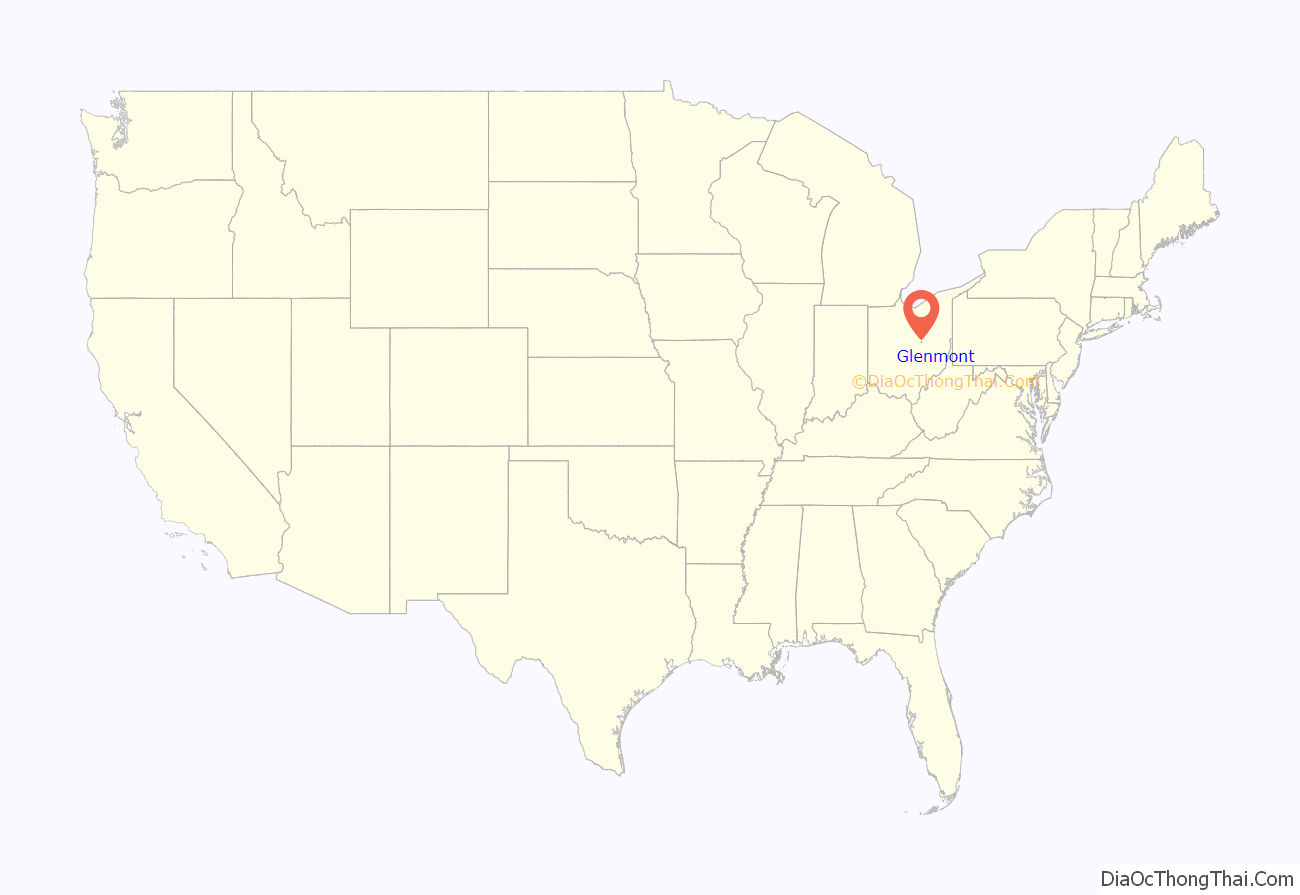
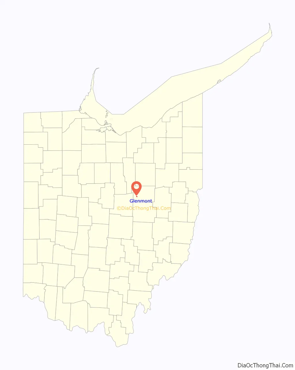
Glenmont location map. Where is Glenmont village?
History
In 1863 during the American Civil War, a riot by nearly 1,000 draft resisters in Glenmont was subdued by the Union Army in what became known as the Battle of Fort Fizzle.
Glenmont Road Map
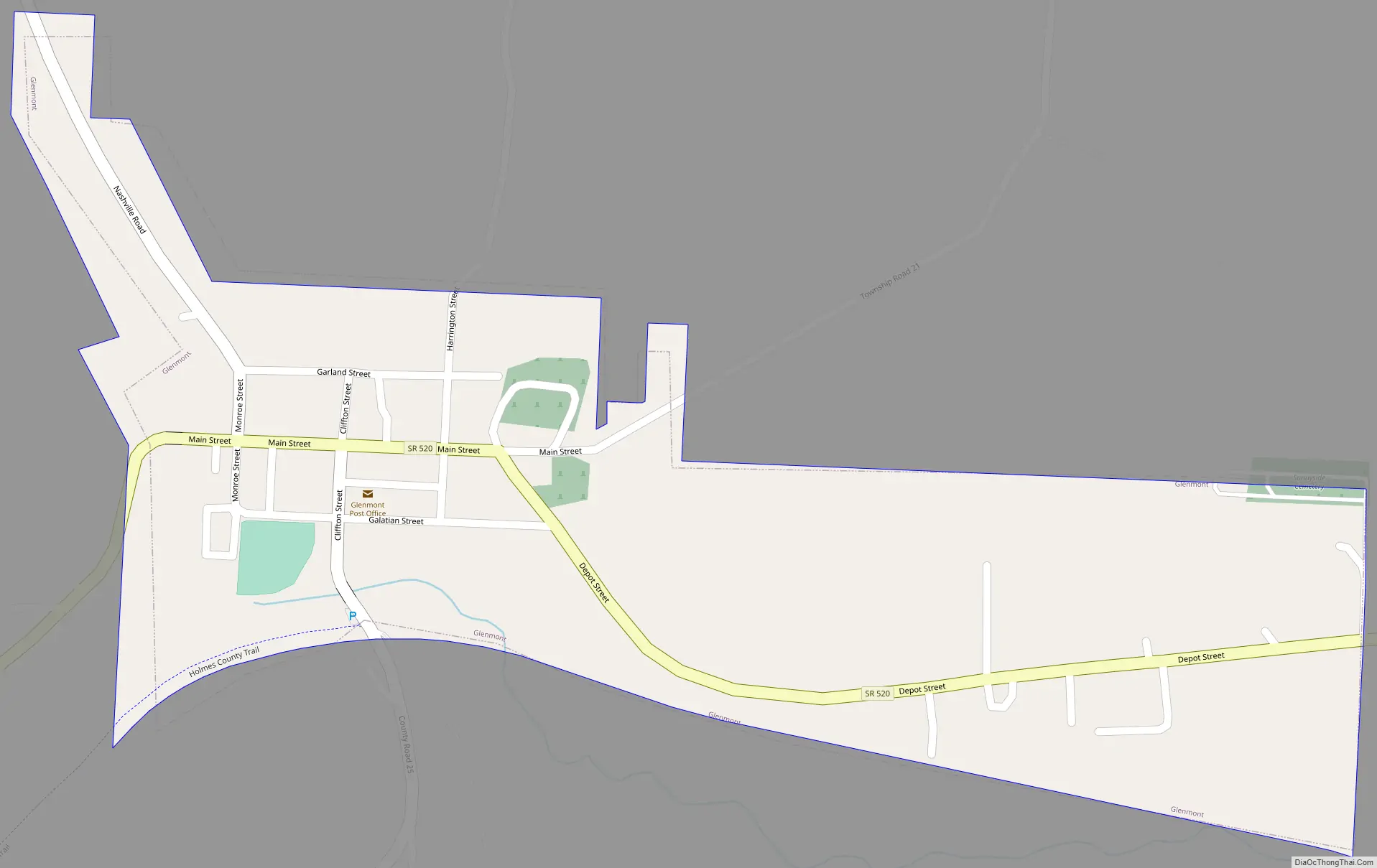
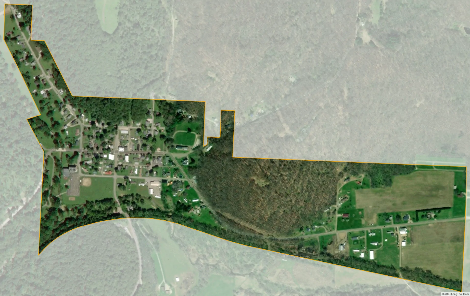
Glenmont city Satellite Map
Geography
Glenmont is located at 40°31′10″N 82°5′43″W / 40.51944°N 82.09528°W / 40.51944; -82.09528 (40.519346, -82.095168).
According to the United States Census Bureau, the village has a total area of 0.27 square miles (0.70 km), all land.
See also
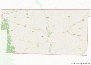
Map of Ohio State and its subdivision:- Adams
- Allen
- Ashland
- Ashtabula
- Athens
- Auglaize
- Belmont
- Brown
- Butler
- Carroll
- Champaign
- Clark
- Clermont
- Clinton
- Columbiana
- Coshocton
- Crawford
- Cuyahoga
- Darke
- Defiance
- Delaware
- Erie
- Fairfield
- Fayette
- Franklin
- Fulton
- Gallia
- Geauga
- Greene
- Guernsey
- Hamilton
- Hancock
- Hardin
- Harrison
- Henry
- Highland
- Hocking
- Holmes
- Huron
- Jackson
- Jefferson
- Knox
- Lake
- Lake Erie
- Lawrence
- Licking
- Logan
- Lorain
- Lucas
- Madison
- Mahoning
- Marion
- Medina
- Meigs
- Mercer
- Miami
- Monroe
- Montgomery
- Morgan
- Morrow
- Muskingum
- Noble
- Ottawa
- Paulding
- Perry
- Pickaway
- Pike
- Portage
- Preble
- Putnam
- Richland
- Ross
- Sandusky
- Scioto
- Seneca
- Shelby
- Stark
- Summit
- Trumbull
- Tuscarawas
- Union
- Van Wert
- Vinton
- Warren
- Washington
- Wayne
- Williams
- Wood
- Wyandot
- Alabama
- Alaska
- Arizona
- Arkansas
- California
- Colorado
- Connecticut
- Delaware
- District of Columbia
- Florida
- Georgia
- Hawaii
- Idaho
- Illinois
- Indiana
- Iowa
- Kansas
- Kentucky
- Louisiana
- Maine
- Maryland
- Massachusetts
- Michigan
- Minnesota
- Mississippi
- Missouri
- Montana
- Nebraska
- Nevada
- New Hampshire
- New Jersey
- New Mexico
- New York
- North Carolina
- North Dakota
- Ohio
- Oklahoma
- Oregon
- Pennsylvania
- Rhode Island
- South Carolina
- South Dakota
- Tennessee
- Texas
- Utah
- Vermont
- Virginia
- Washington
- West Virginia
- Wisconsin
- Wyoming