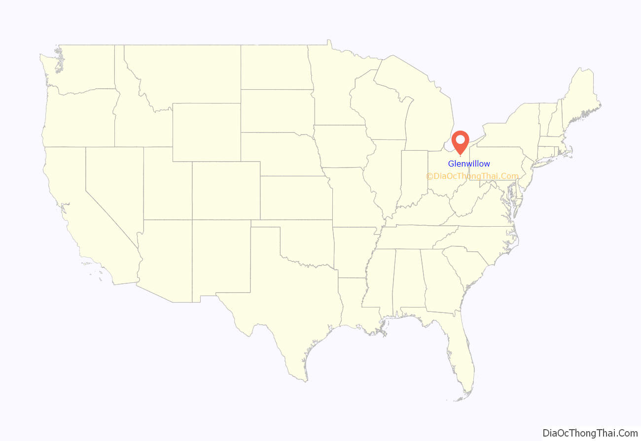
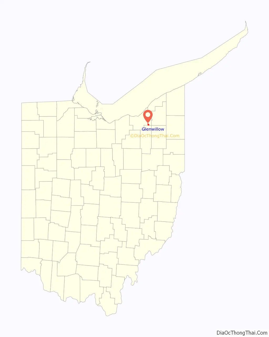
Glenwillow is a village in Cuyahoga County, Ohio, United States. The population was 923 at the 2010 census.
| Name: | Glenwillow village |
|---|---|
| LSAD Code: | 47 |
| LSAD Description: | village (suffix) |
| State: | Ohio |
| County: | Cuyahoga County |
| Elevation: | 942 ft (287 m) |
| Total Area: | 2.83 sq mi (7.34 km²) |
| Land Area: | 2.77 sq mi (7.18 km²) |
| Water Area: | 0.06 sq mi (0.16 km²) |
| Total Population: | 994 |
| Population Density: | 358.59/sq mi (138.44/km²) |
| ZIP code: | 44139 |
| Area code: | 440 |
| FIPS code: | 3930632 |
| GNISfeature ID: | 1064733 |
| Website: | http://www.glenwillow-oh.gov/ |
Online Interactive Map
Click on ![]() to view map in "full screen" mode.
to view map in "full screen" mode.
Glenwillow location map. Where is Glenwillow village?
History
The Village of Glenwillow was carved out of Solon Township and established in 1893 as a company town by Austin Powder Company. As the population in surrounding areas, particularly the city of Solon, increased, Austin Powder was unable to test its explosive products. It moved its manufacturing operations to Athens, Ohio, and closed its Glenwillow plant in 1972. In the 1980s, the village installed infrastructural and utility improvements and added a 250-acre (1.0 km) industrial park. Served by the Solon City Schools, a system consistently rated as one of the 100 best schools in the U.S. by publications such as Newsweek and U.S. News & World Report, the village has since experienced residential development. In the early 2000s, the village received significant investment through mixed-use development, including renovation of the former Austin Powder housing stock and general store into boutiques, a tavern, in conjunction with a new town center, village park and new housing in a town plan layout.
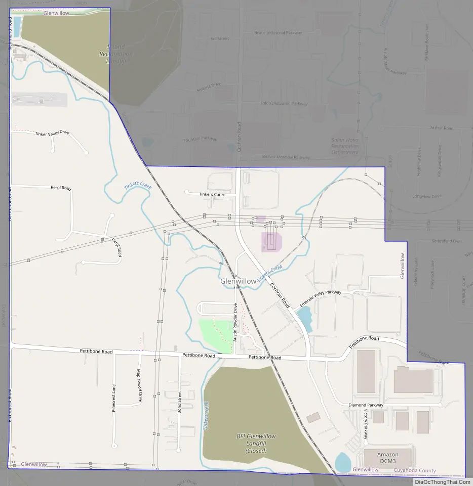
Glenwillow Road Map
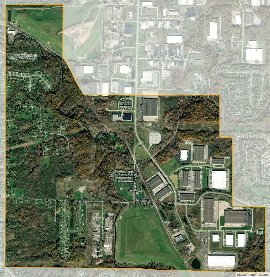
Glenwillow city Satellite Map
Geography
Glenwillow is located at 41°21′39″N 81°28′20″W / 41.36083°N 81.47222°W / 41.36083; -81.47222 (41.360821, -81.472234).
According to the United States Census Bureau, the village has a total area of 2.78 square miles (7.20 km), of which 2.72 square miles (7.04 km) is land and 0.06 square miles (0.16 km) is water.
See also
Map of Ohio State and its subdivision:- Adams
- Allen
- Ashland
- Ashtabula
- Athens
- Auglaize
- Belmont
- Brown
- Butler
- Carroll
- Champaign
- Clark
- Clermont
- Clinton
- Columbiana
- Coshocton
- Crawford
- Cuyahoga
- Darke
- Defiance
- Delaware
- Erie
- Fairfield
- Fayette
- Franklin
- Fulton
- Gallia
- Geauga
- Greene
- Guernsey
- Hamilton
- Hancock
- Hardin
- Harrison
- Henry
- Highland
- Hocking
- Holmes
- Huron
- Jackson
- Jefferson
- Knox
- Lake
- Lake Erie
- Lawrence
- Licking
- Logan
- Lorain
- Lucas
- Madison
- Mahoning
- Marion
- Medina
- Meigs
- Mercer
- Miami
- Monroe
- Montgomery
- Morgan
- Morrow
- Muskingum
- Noble
- Ottawa
- Paulding
- Perry
- Pickaway
- Pike
- Portage
- Preble
- Putnam
- Richland
- Ross
- Sandusky
- Scioto
- Seneca
- Shelby
- Stark
- Summit
- Trumbull
- Tuscarawas
- Union
- Van Wert
- Vinton
- Warren
- Washington
- Wayne
- Williams
- Wood
- Wyandot
- Alabama
- Alaska
- Arizona
- Arkansas
- California
- Colorado
- Connecticut
- Delaware
- District of Columbia
- Florida
- Georgia
- Hawaii
- Idaho
- Illinois
- Indiana
- Iowa
- Kansas
- Kentucky
- Louisiana
- Maine
- Maryland
- Massachusetts
- Michigan
- Minnesota
- Mississippi
- Missouri
- Montana
- Nebraska
- Nevada
- New Hampshire
- New Jersey
- New Mexico
- New York
- North Carolina
- North Dakota
- Ohio
- Oklahoma
- Oregon
- Pennsylvania
- Rhode Island
- South Carolina
- South Dakota
- Tennessee
- Texas
- Utah
- Vermont
- Virginia
- Washington
- West Virginia
- Wisconsin
- Wyoming


