Grand Rapids is a village in Grand Rapids Township, Wood County, Ohio, United States, along the Maumee River. The population was 965 at the 2010 census. Grand Rapids is served by a branch of the Weston Public Library.
| Name: | Grand Rapids village |
|---|---|
| LSAD Code: | 47 |
| LSAD Description: | village (suffix) |
| State: | Ohio |
| County: | Wood County |
| Elevation: | 659 ft (201 m) |
| Total Area: | 0.97 sq mi (2.51 km²) |
| Land Area: | 0.88 sq mi (2.28 km²) |
| Water Area: | 0.09 sq mi (0.23 km²) |
| Total Population: | 925 |
| Population Density: | 1,048.75/sq mi (404.88/km²) |
| ZIP code: | 43522 |
| Area code: | 419 |
| FIPS code: | 3931206 |
| GNISfeature ID: | 1064745 |
| Website: | grandrapidsohio.com |
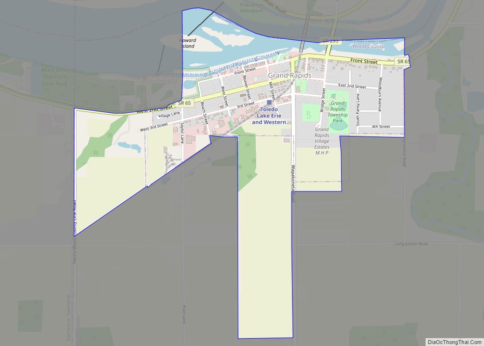
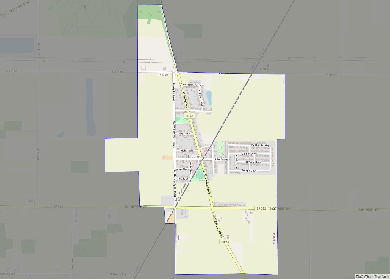
Online Interactive Map
Click on ![]() to view map in "full screen" mode.
to view map in "full screen" mode.
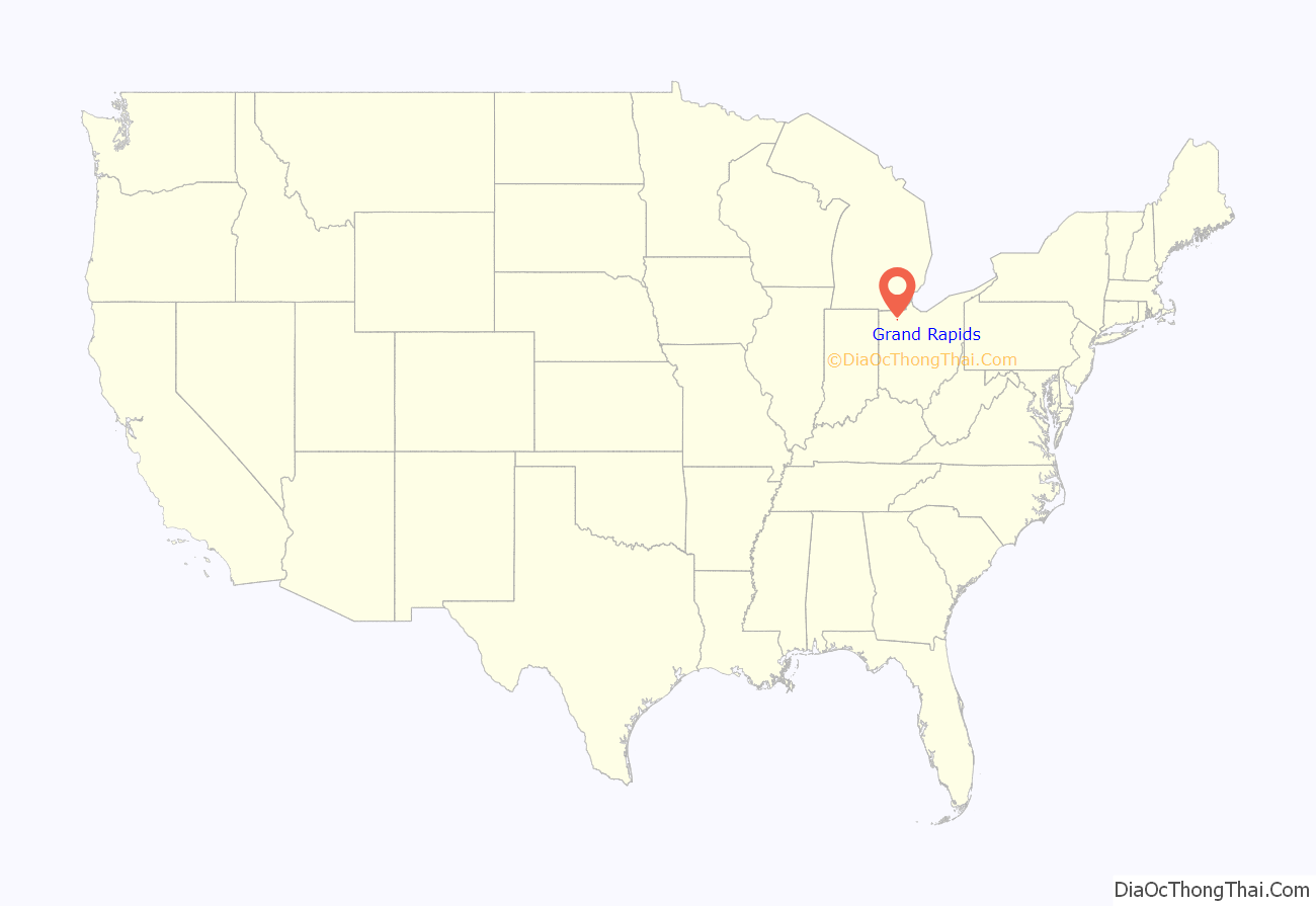
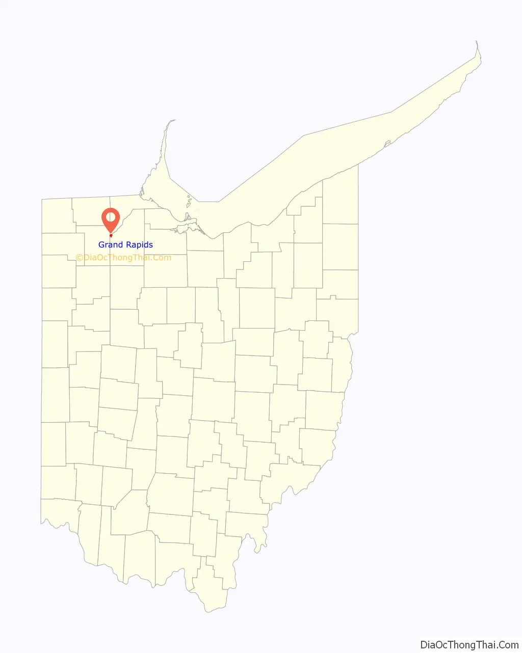
Grand Rapids location map. Where is Grand Rapids village?
History
Grand Rapids was originally called Gilead, and under the latter name was platted in 1833. To meet the challenges of keeping enough water in its canals in the 1840s, the state of Ohio built a large dam across the Maumee River at Gilead in 1845. Because the dam replaced a smaller dam that had been built to provide power to a mill and thereby restricted the water power provided to the mill, the outraged citizens of Gilead destroyed the dam. Following the destruction of the dam, a side cut canal was built that connected Gilead with the main canal. This caused an economic boom in Gilead and the village was incorporated as Grand Rapids in 1855.
A post office called Gilead was established in 1837, and the name was changed to Grand Rapids in 1868. The village was incorporated in 1885.
An ice jam lead to a major flood in February of 1959, leading to extensive damage and displacing 130 residents.
Grand Rapids Road Map
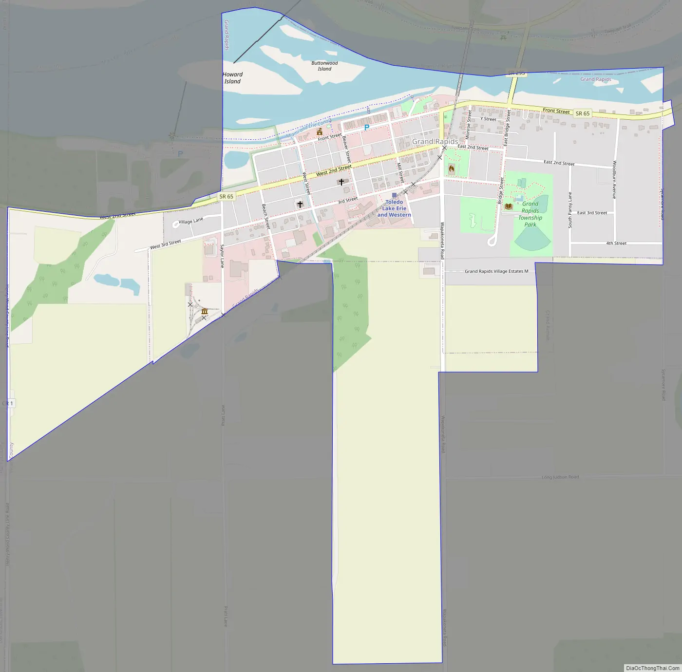
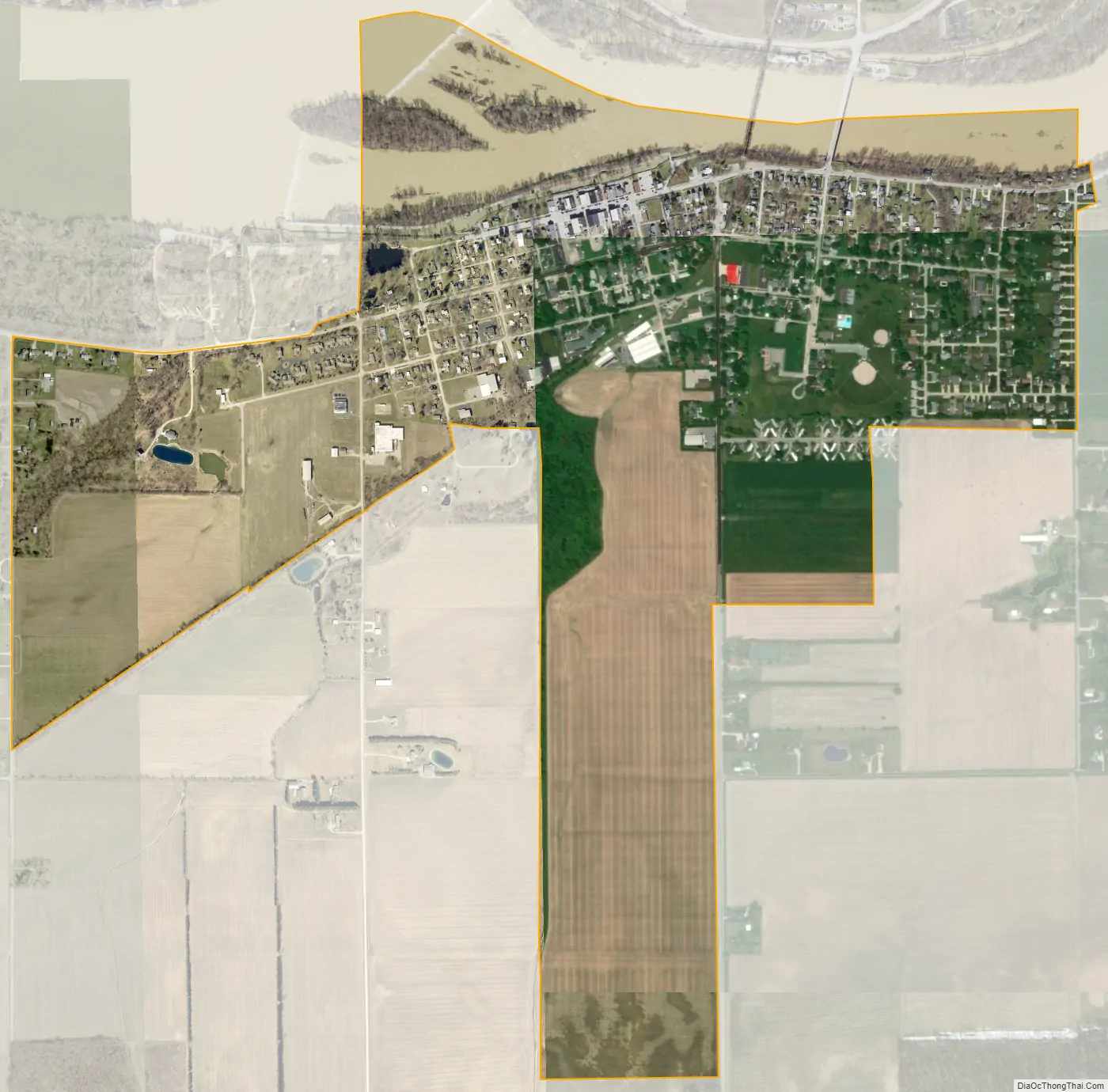
Grand Rapids city Satellite Map
Geography
Grand Rapids is located at 41°24′39″N 83°52′01″W / 41.410801°N 83.866907°W / 41.410801; -83.866907.
According to the United States Census Bureau, the village has a total area of 0.97 square miles (2.51 km), of which 0.88 square miles (2.28 km) is land and 0.09 square miles (0.23 km) is water.
See also
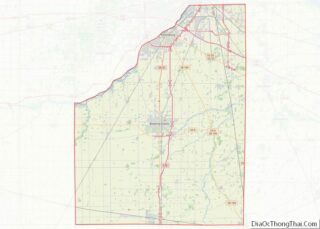
Map of Ohio State and its subdivision:- Adams
- Allen
- Ashland
- Ashtabula
- Athens
- Auglaize
- Belmont
- Brown
- Butler
- Carroll
- Champaign
- Clark
- Clermont
- Clinton
- Columbiana
- Coshocton
- Crawford
- Cuyahoga
- Darke
- Defiance
- Delaware
- Erie
- Fairfield
- Fayette
- Franklin
- Fulton
- Gallia
- Geauga
- Greene
- Guernsey
- Hamilton
- Hancock
- Hardin
- Harrison
- Henry
- Highland
- Hocking
- Holmes
- Huron
- Jackson
- Jefferson
- Knox
- Lake
- Lake Erie
- Lawrence
- Licking
- Logan
- Lorain
- Lucas
- Madison
- Mahoning
- Marion
- Medina
- Meigs
- Mercer
- Miami
- Monroe
- Montgomery
- Morgan
- Morrow
- Muskingum
- Noble
- Ottawa
- Paulding
- Perry
- Pickaway
- Pike
- Portage
- Preble
- Putnam
- Richland
- Ross
- Sandusky
- Scioto
- Seneca
- Shelby
- Stark
- Summit
- Trumbull
- Tuscarawas
- Union
- Van Wert
- Vinton
- Warren
- Washington
- Wayne
- Williams
- Wood
- Wyandot
- Alabama
- Alaska
- Arizona
- Arkansas
- California
- Colorado
- Connecticut
- Delaware
- District of Columbia
- Florida
- Georgia
- Hawaii
- Idaho
- Illinois
- Indiana
- Iowa
- Kansas
- Kentucky
- Louisiana
- Maine
- Maryland
- Massachusetts
- Michigan
- Minnesota
- Mississippi
- Missouri
- Montana
- Nebraska
- Nevada
- New Hampshire
- New Jersey
- New Mexico
- New York
- North Carolina
- North Dakota
- Ohio
- Oklahoma
- Oregon
- Pennsylvania
- Rhode Island
- South Carolina
- South Dakota
- Tennessee
- Texas
- Utah
- Vermont
- Virginia
- Washington
- West Virginia
- Wisconsin
- Wyoming