Groesbeck is a census-designated place (CDP) in Hamilton County, Ohio, United States. The population was 7,365 at the 2020 census. It is a suburb of Cincinnati.
| Name: | Groesbeck CDP |
|---|---|
| LSAD Code: | 57 |
| LSAD Description: | CDP (suffix) |
| State: | Ohio |
| County: | Hamilton County |
| Elevation: | 866 ft (264 m) |
| Total Area: | 2.93 sq mi (7.60 km²) |
| Land Area: | 2.93 sq mi (7.60 km²) |
| Water Area: | 0.00 sq mi (0.00 km²) |
| Total Population: | 7,365 |
| Population Density: | 2,511.08/sq mi (969.44/km²) |
| Area code: | 513 |
| FIPS code: | 3932536 |
| GNISfeature ID: | 1064771 |
Online Interactive Map
Click on ![]() to view map in "full screen" mode.
to view map in "full screen" mode.
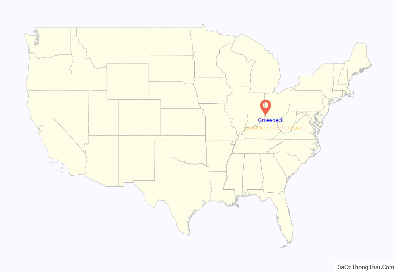
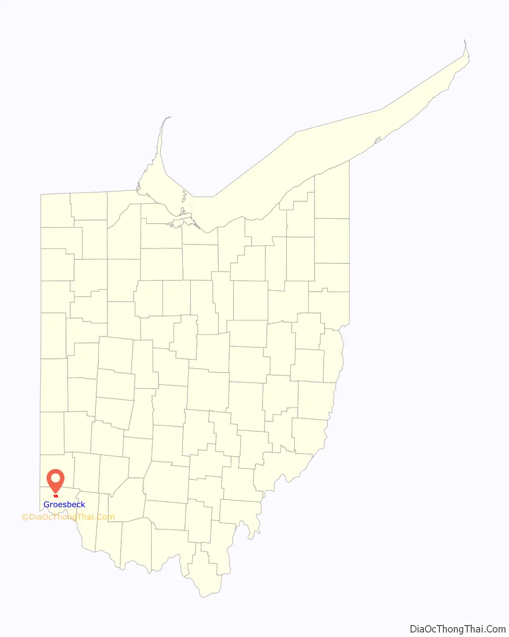
Groesbeck location map. Where is Groesbeck CDP?
History
Groesbeck was founded as West Union. When the community established a post office in 1857 it was discovered there was already a West Union in Ohio and so the name was changed. William S. Groesbeck was a United States Representative from Ohio.
In 1894, Groesbeck was described as having two hotels, a blacksmith shop, and a church.
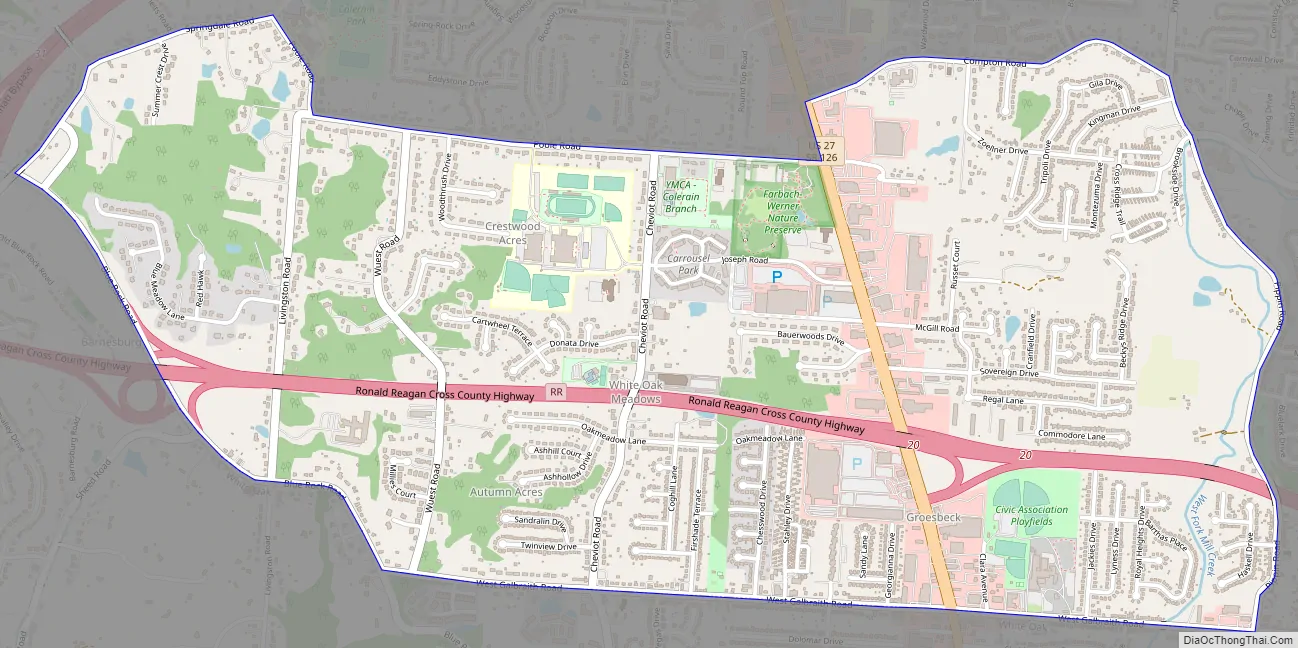
Groesbeck Road Map
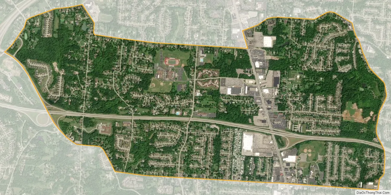
Groesbeck city Satellite Map
Geography
Groesbeck is located at 39°13′43″N 84°35′39″W / 39.22861°N 84.59417°W / 39.22861; -84.59417 (39.228645, -84.594221).
According to the United States Census Bureau, the CDP has a total area of 2.9 square miles (7.5 km), all land.
See also
Map of Ohio State and its subdivision:- Adams
- Allen
- Ashland
- Ashtabula
- Athens
- Auglaize
- Belmont
- Brown
- Butler
- Carroll
- Champaign
- Clark
- Clermont
- Clinton
- Columbiana
- Coshocton
- Crawford
- Cuyahoga
- Darke
- Defiance
- Delaware
- Erie
- Fairfield
- Fayette
- Franklin
- Fulton
- Gallia
- Geauga
- Greene
- Guernsey
- Hamilton
- Hancock
- Hardin
- Harrison
- Henry
- Highland
- Hocking
- Holmes
- Huron
- Jackson
- Jefferson
- Knox
- Lake
- Lake Erie
- Lawrence
- Licking
- Logan
- Lorain
- Lucas
- Madison
- Mahoning
- Marion
- Medina
- Meigs
- Mercer
- Miami
- Monroe
- Montgomery
- Morgan
- Morrow
- Muskingum
- Noble
- Ottawa
- Paulding
- Perry
- Pickaway
- Pike
- Portage
- Preble
- Putnam
- Richland
- Ross
- Sandusky
- Scioto
- Seneca
- Shelby
- Stark
- Summit
- Trumbull
- Tuscarawas
- Union
- Van Wert
- Vinton
- Warren
- Washington
- Wayne
- Williams
- Wood
- Wyandot
- Alabama
- Alaska
- Arizona
- Arkansas
- California
- Colorado
- Connecticut
- Delaware
- District of Columbia
- Florida
- Georgia
- Hawaii
- Idaho
- Illinois
- Indiana
- Iowa
- Kansas
- Kentucky
- Louisiana
- Maine
- Maryland
- Massachusetts
- Michigan
- Minnesota
- Mississippi
- Missouri
- Montana
- Nebraska
- Nevada
- New Hampshire
- New Jersey
- New Mexico
- New York
- North Carolina
- North Dakota
- Ohio
- Oklahoma
- Oregon
- Pennsylvania
- Rhode Island
- South Carolina
- South Dakota
- Tennessee
- Texas
- Utah
- Vermont
- Virginia
- Washington
- West Virginia
- Wisconsin
- Wyoming


