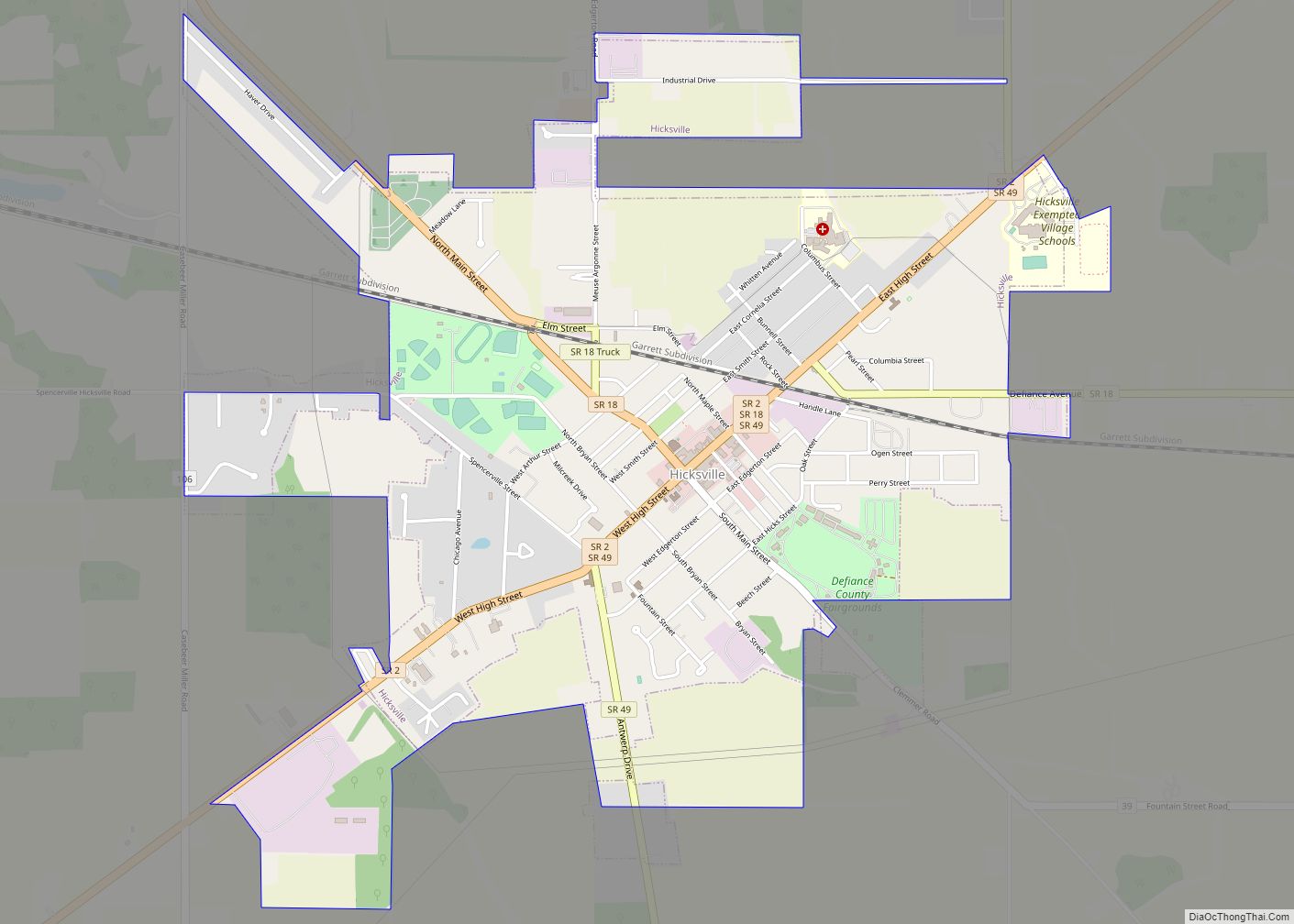
Hicksville is a village in Defiance County, Ohio, United States. The population was 3,581 at the 2010 census. It sits around 2.2 miles east from the Ohio- Indiana border.
| Name: | Hicksville village |
|---|---|
| LSAD Code: | 47 |
| LSAD Description: | village (suffix) |
| State: | Ohio |
| County: | Defiance County |
| Elevation: | 761 ft (232 m) |
| Total Area: | 2.55 sq mi (6.61 km²) |
| Land Area: | 2.55 sq mi (6.61 km²) |
| Water Area: | 0.00 sq mi (0.00 km²) |
| Total Population: | 3,431 |
| Population Density: | 1,343.38/sq mi (518.77/km²) |
| ZIP code: | 43526 |
| Area code: | 419 |
| FIPS code: | 3935098 |
| GNISfeature ID: | 1064833 |
| Website: | http://www.villageofhicksville.com/ |
Online Interactive Map
Click on ![]() to view map in "full screen" mode.
to view map in "full screen" mode.
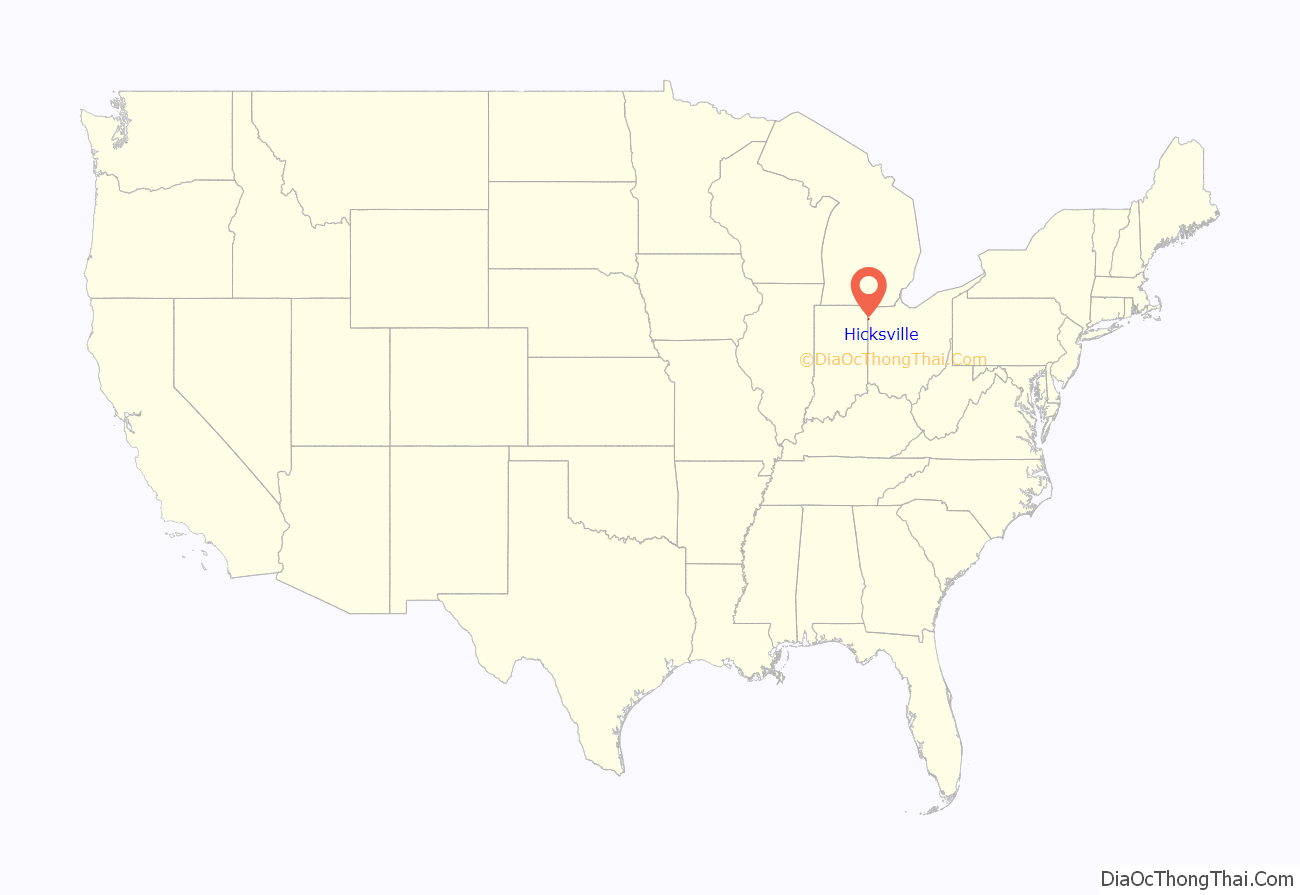
Hicksville location map. Where is Hicksville village?
History
Led by Henry W. Hicks, the Hicks Land Company platted the community in 1835 and 1836. A post office has been in operation at Hicksville since 1838. Hicksville was incorporated as a village in 1871. Hicksville made its debut in American literature in 1885 when Mark Twain mentioned the town in chapter 33 of Adventures of Huckleberry Finn. Tom Sawyer claims to be a stranger from Hicksville, Ohio.
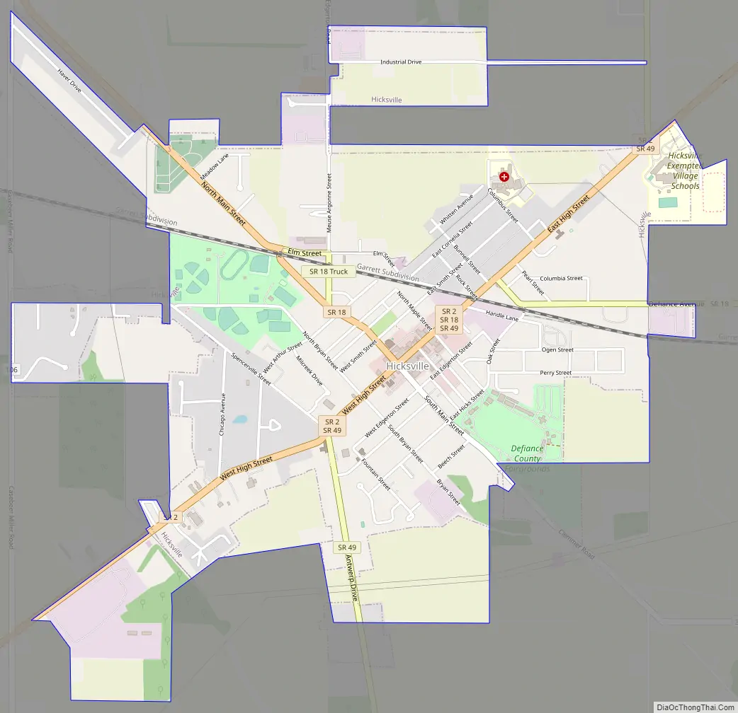
Hicksville Road Map
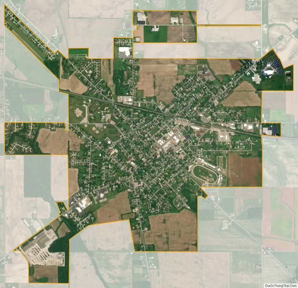
Hicksville city Satellite Map
Geography
Hicksville is located at 41°17′39″N 84°45′43″W / 41.29417°N 84.76194°W / 41.29417; -84.76194 (41.294281, -84.762078).
According to the United States Census Bureau, the village has a total area of 2.66 square miles (6.89 km), all land.
See also
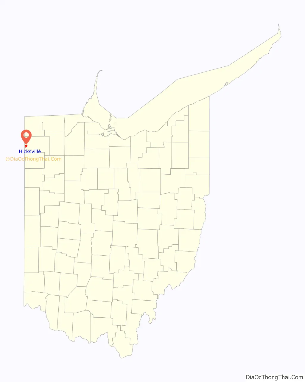
Map of Ohio State and its subdivision:- Adams
- Allen
- Ashland
- Ashtabula
- Athens
- Auglaize
- Belmont
- Brown
- Butler
- Carroll
- Champaign
- Clark
- Clermont
- Clinton
- Columbiana
- Coshocton
- Crawford
- Cuyahoga
- Darke
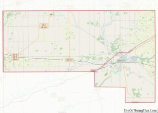
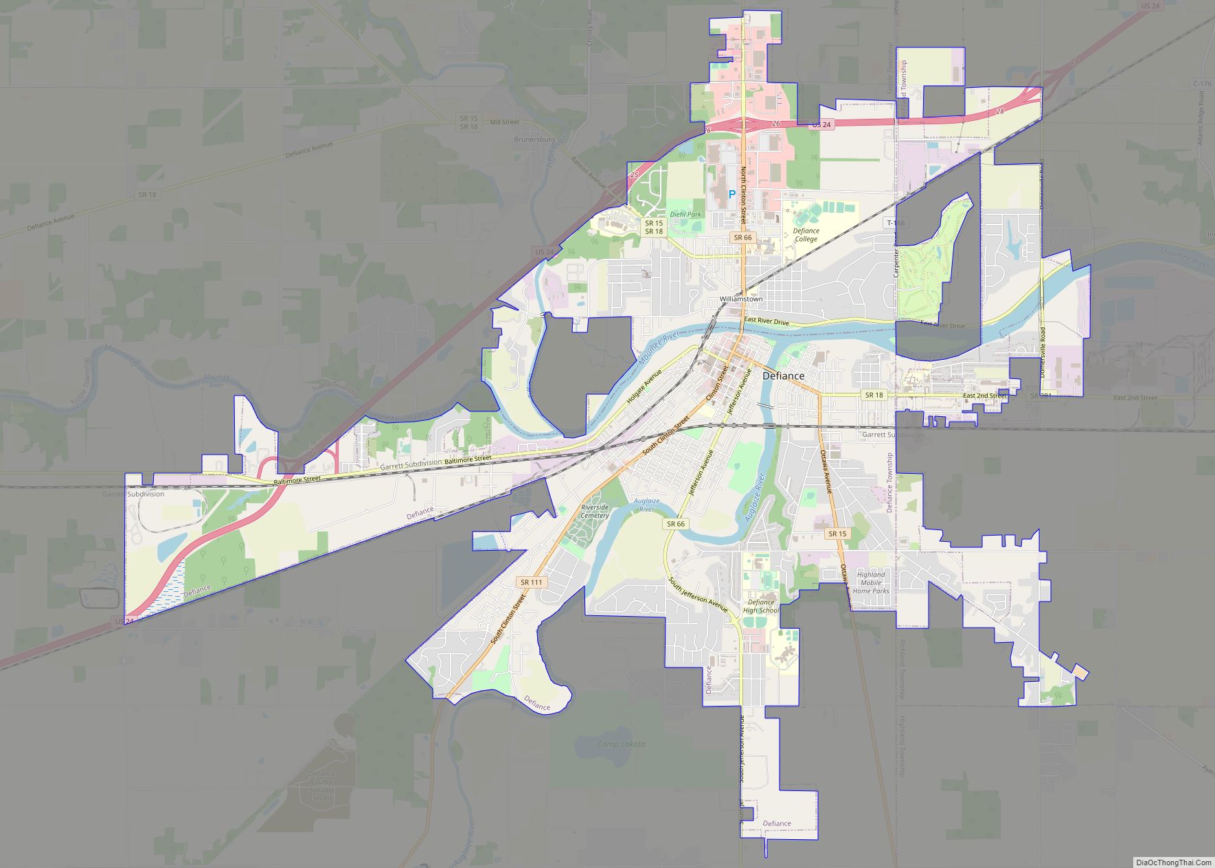
- Defiance
- Delaware
- Erie
- Fairfield
- Fayette
- Franklin
- Fulton
- Gallia
- Geauga
- Greene
- Guernsey
- Hamilton
- Hancock
- Hardin
- Harrison
- Henry
- Highland
- Hocking
- Holmes
- Huron
- Jackson
- Jefferson
- Knox
- Lake
- Lake Erie
- Lawrence
- Licking
- Logan
- Lorain
- Lucas
- Madison
- Mahoning
- Marion
- Medina
- Meigs
- Mercer
- Miami
- Monroe
- Montgomery
- Morgan
- Morrow
- Muskingum
- Noble
- Ottawa
- Paulding
- Perry
- Pickaway
- Pike
- Portage
- Preble
- Putnam
- Richland
- Ross
- Sandusky
- Scioto
- Seneca
- Shelby
- Stark
- Summit
- Trumbull
- Tuscarawas
- Union
- Van Wert
- Vinton
- Warren
- Washington
- Wayne
- Williams
- Wood
- Wyandot
- Alabama
- Alaska
- Arizona
- Arkansas
- California
- Colorado
- Connecticut
- Delaware
- District of Columbia
- Florida
- Georgia
- Hawaii
- Idaho
- Illinois
- Indiana
- Iowa
- Kansas
- Kentucky
- Louisiana
- Maine
- Maryland
- Massachusetts
- Michigan
- Minnesota
- Mississippi
- Missouri
- Montana
- Nebraska
- Nevada
- New Hampshire
- New Jersey
- New Mexico
- New York
- North Carolina
- North Dakota
- Ohio
- Oklahoma
- Oregon
- Pennsylvania
- Rhode Island
- South Carolina
- South Dakota
- Tennessee
- Texas
- Utah
- Vermont
- Virginia
- Washington
- West Virginia
- Wisconsin
- Wyoming