Hollansburg is a village in Darke County, Ohio, United States. The population was 227 at the 2010 census.
| Name: | Hollansburg village |
|---|---|
| LSAD Code: | 47 |
| LSAD Description: | village (suffix) |
| State: | Ohio |
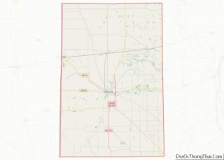
| County: | Darke County |
| Elevation: | 1,161 ft (354 m) |
| Total Area: | 0.12 sq mi (0.31 km²) |
| Land Area: | 0.12 sq mi (0.31 km²) |
| Water Area: | 0.00 sq mi (0.00 km²) |
| Total Population: | 243 |
| Population Density: | 2,008.26/sq mi (775.90/km²) |
| ZIP code: | 45332 |
| Area code: | 937, 326 |
| FIPS code: | 3935896 |
| GNISfeature ID: | 1064850 |
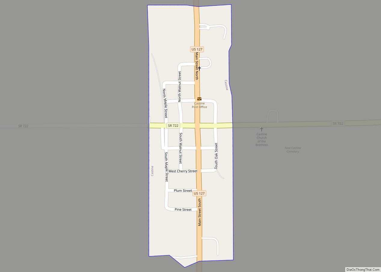
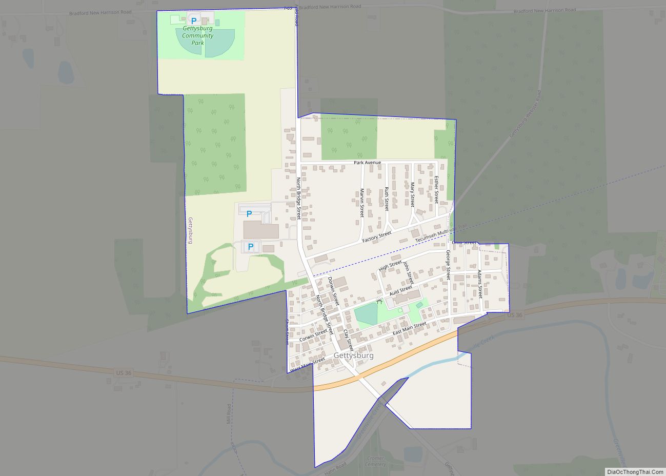
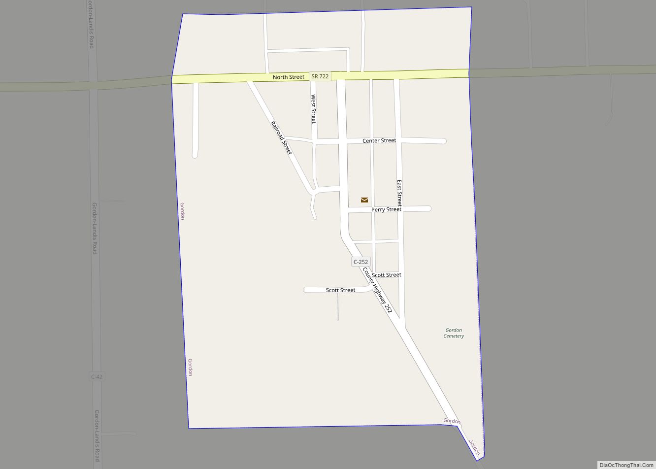
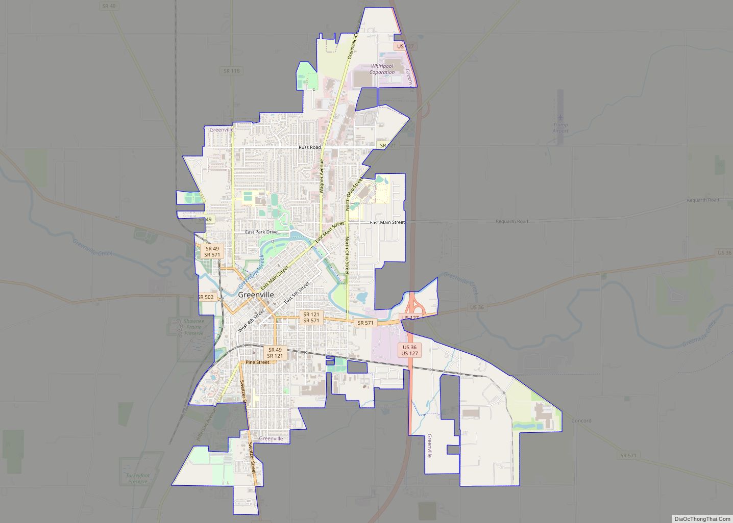
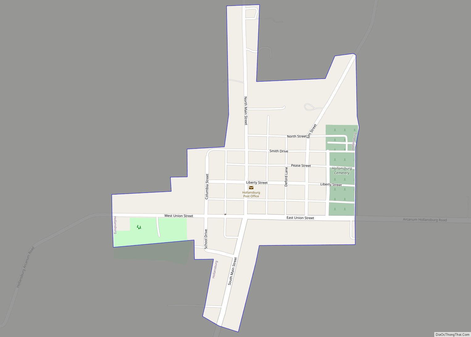
Online Interactive Map
Click on ![]() to view map in "full screen" mode.
to view map in "full screen" mode.
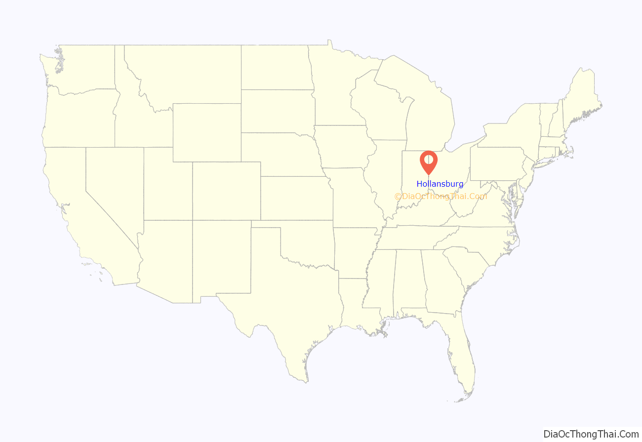
Hollansburg location map. Where is Hollansburg village?
History
On March 28, 1838, local landowner James Stewart platted a community in northwestern Harrison Township and named it “Union.” When William Hollaman, another landowner, attempted to purchase lots in the settlement, a dispute erupted between the two men; seven months later, Hollaman attempted to avenge himself by platting another community only 1 mile (1.6 km) to the northeast of Union, to which a third landowner, Valentine Harland, quickly made additions. The new community was given the name of “Hollansburg” as a portmanteau of the owners’ names — Hollaman and Harland. Within a year, a countryside post office named “Republican” was moved to Hollansburg, and the village quickly began to outgrow Union; the two communities ultimately merged. The first church in the village, a Church of Christ, was founded in 1840, while the first school building was erected in 1848.
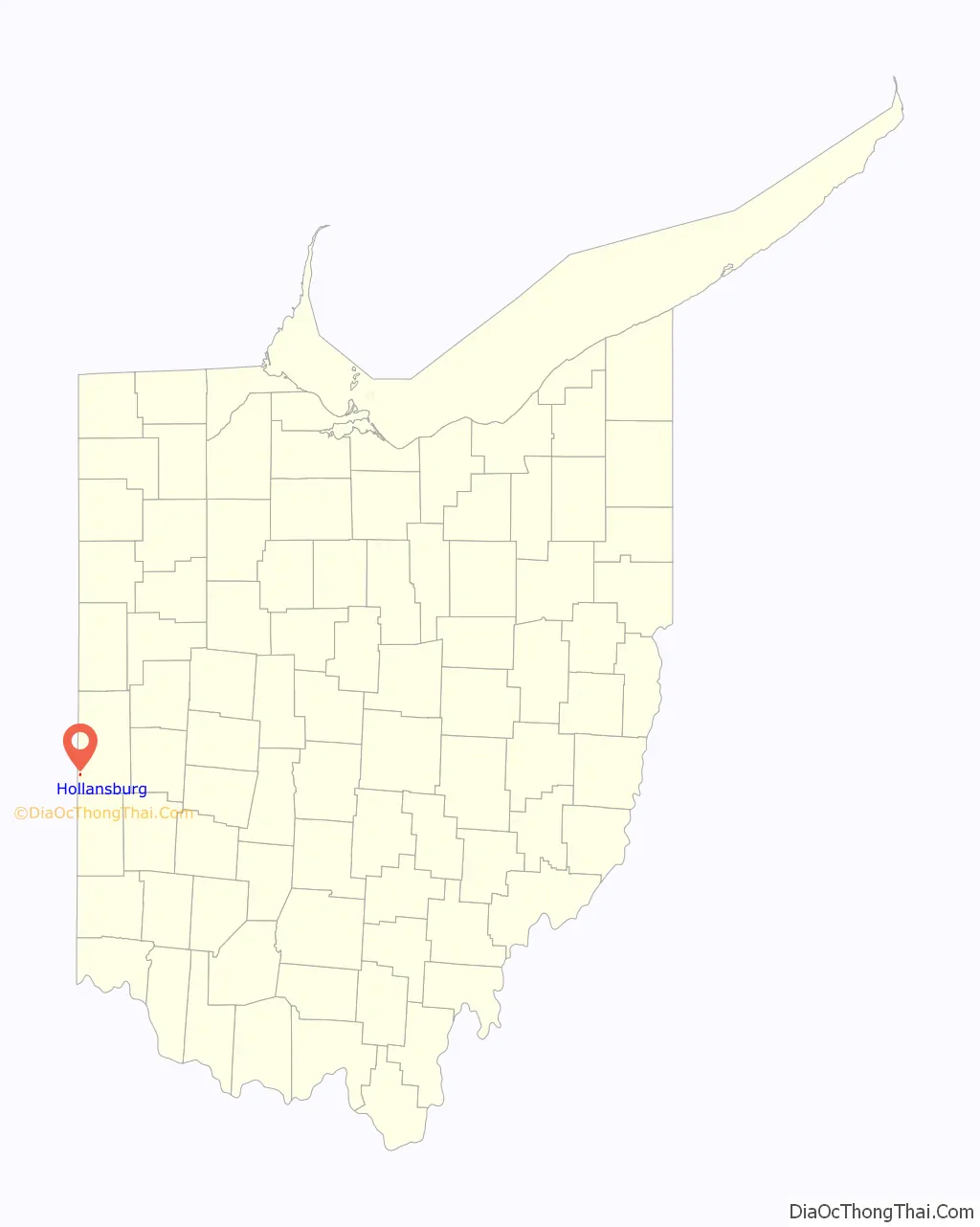
Hollansburg Road Map
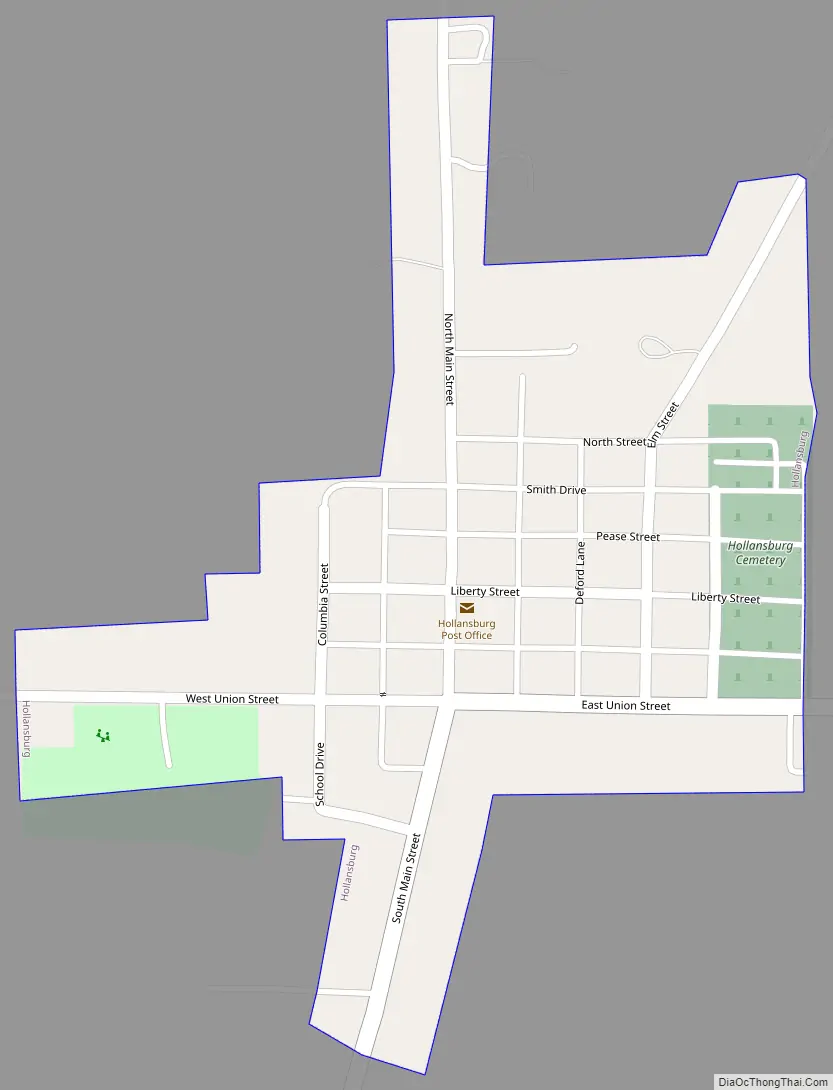
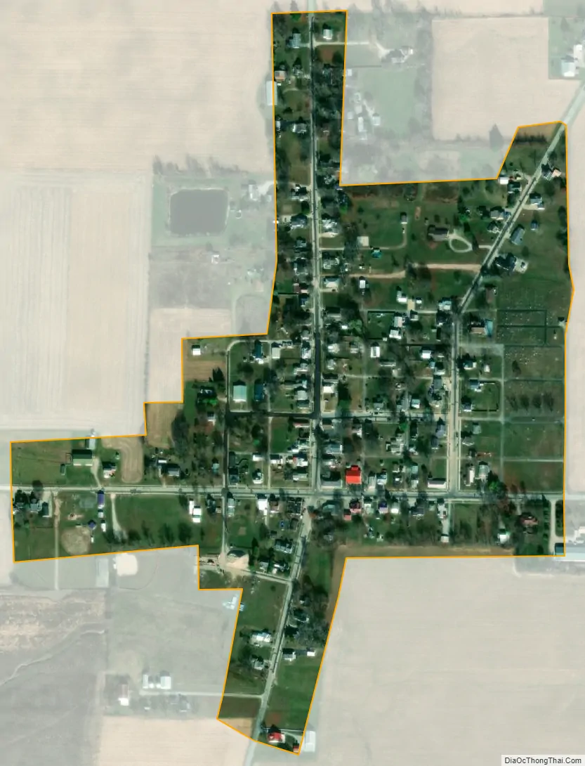
Hollansburg city Satellite Map
Geography
Hollansburg is located at 39°59′55″N 84°47′32″W / 39.99861°N 84.79222°W / 39.99861; -84.79222 (39.998503, -84.792349).
According to the United States Census Bureau, the village has a total area of 0.12 square miles (0.31 km), all land.
See also
Map of Ohio State and its subdivision:- Adams
- Allen
- Ashland
- Ashtabula
- Athens
- Auglaize
- Belmont
- Brown
- Butler
- Carroll
- Champaign
- Clark
- Clermont
- Clinton
- Columbiana
- Coshocton
- Crawford
- Cuyahoga
- Darke
- Defiance
- Delaware
- Erie
- Fairfield
- Fayette
- Franklin
- Fulton
- Gallia
- Geauga
- Greene
- Guernsey
- Hamilton
- Hancock
- Hardin
- Harrison
- Henry
- Highland
- Hocking
- Holmes
- Huron
- Jackson
- Jefferson
- Knox
- Lake
- Lake Erie
- Lawrence
- Licking
- Logan
- Lorain
- Lucas
- Madison
- Mahoning
- Marion
- Medina
- Meigs
- Mercer
- Miami
- Monroe
- Montgomery
- Morgan
- Morrow
- Muskingum
- Noble
- Ottawa
- Paulding
- Perry
- Pickaway
- Pike
- Portage
- Preble
- Putnam
- Richland
- Ross
- Sandusky
- Scioto
- Seneca
- Shelby
- Stark
- Summit
- Trumbull
- Tuscarawas
- Union
- Van Wert
- Vinton
- Warren
- Washington
- Wayne
- Williams
- Wood
- Wyandot
- Alabama
- Alaska
- Arizona
- Arkansas
- California
- Colorado
- Connecticut
- Delaware
- District of Columbia
- Florida
- Georgia
- Hawaii
- Idaho
- Illinois
- Indiana
- Iowa
- Kansas
- Kentucky
- Louisiana
- Maine
- Maryland
- Massachusetts
- Michigan
- Minnesota
- Mississippi
- Missouri
- Montana
- Nebraska
- Nevada
- New Hampshire
- New Jersey
- New Mexico
- New York
- North Carolina
- North Dakota
- Ohio
- Oklahoma
- Oregon
- Pennsylvania
- Rhode Island
- South Carolina
- South Dakota
- Tennessee
- Texas
- Utah
- Vermont
- Virginia
- Washington
- West Virginia
- Wisconsin
- Wyoming