Hunting Valley is a village in Cuyahoga and Geauga counties in the U.S. state of Ohio. The population was 763 as of the 2020 census. An eastern suburb of Cleveland, it is part of the Cleveland metropolitan area. In 2000, Hunting Valley was ranked the 6th highest-income place in the United States. It was the 17th highest-income place in 2010, but still the wealthiest locale in Ohio.
| Name: | Hunting Valley village |
|---|---|
| LSAD Code: | 47 |
| LSAD Description: | village (suffix) |
| State: | Ohio |
| County: | Cuyahoga County, Geauga County |
| Elevation: | 764 ft (233 m) |
| Total Area: | 8.01 sq mi (20.75 km²) |
| Land Area: | 7.89 sq mi (20.44 km²) |
| Water Area: | 0.12 sq mi (0.31 km²) |
| Total Population: | 763 |
| Population Density: | 96.68/sq mi (37.33/km²) |
| ZIP code: | 44022, 44040 |
| Area code: | 440, 216 |
| FIPS code: | 3936918 |
| GNISfeature ID: | 1041884 |
| Website: | huntingvalley.net |
Online Interactive Map
Click on ![]() to view map in "full screen" mode.
to view map in "full screen" mode.
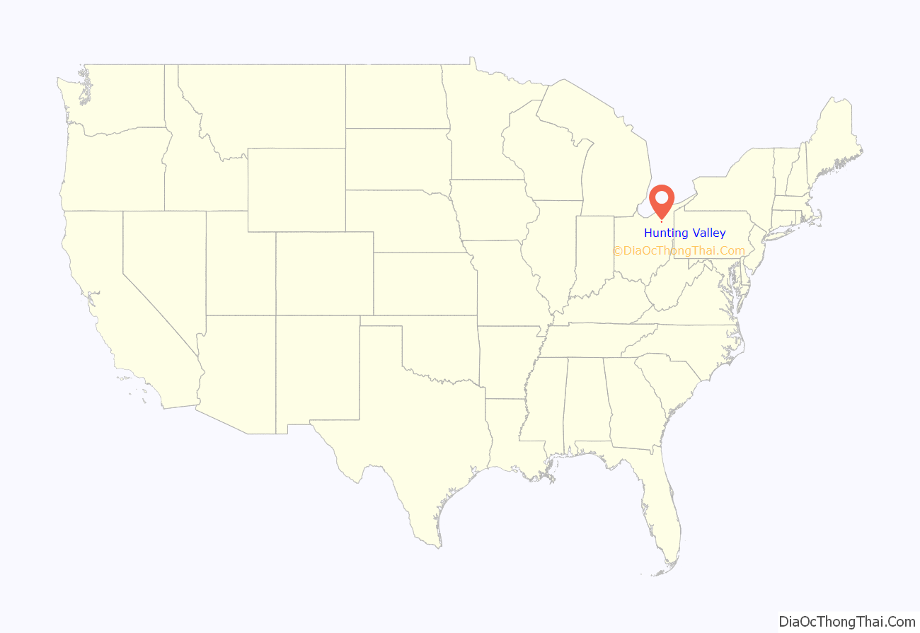
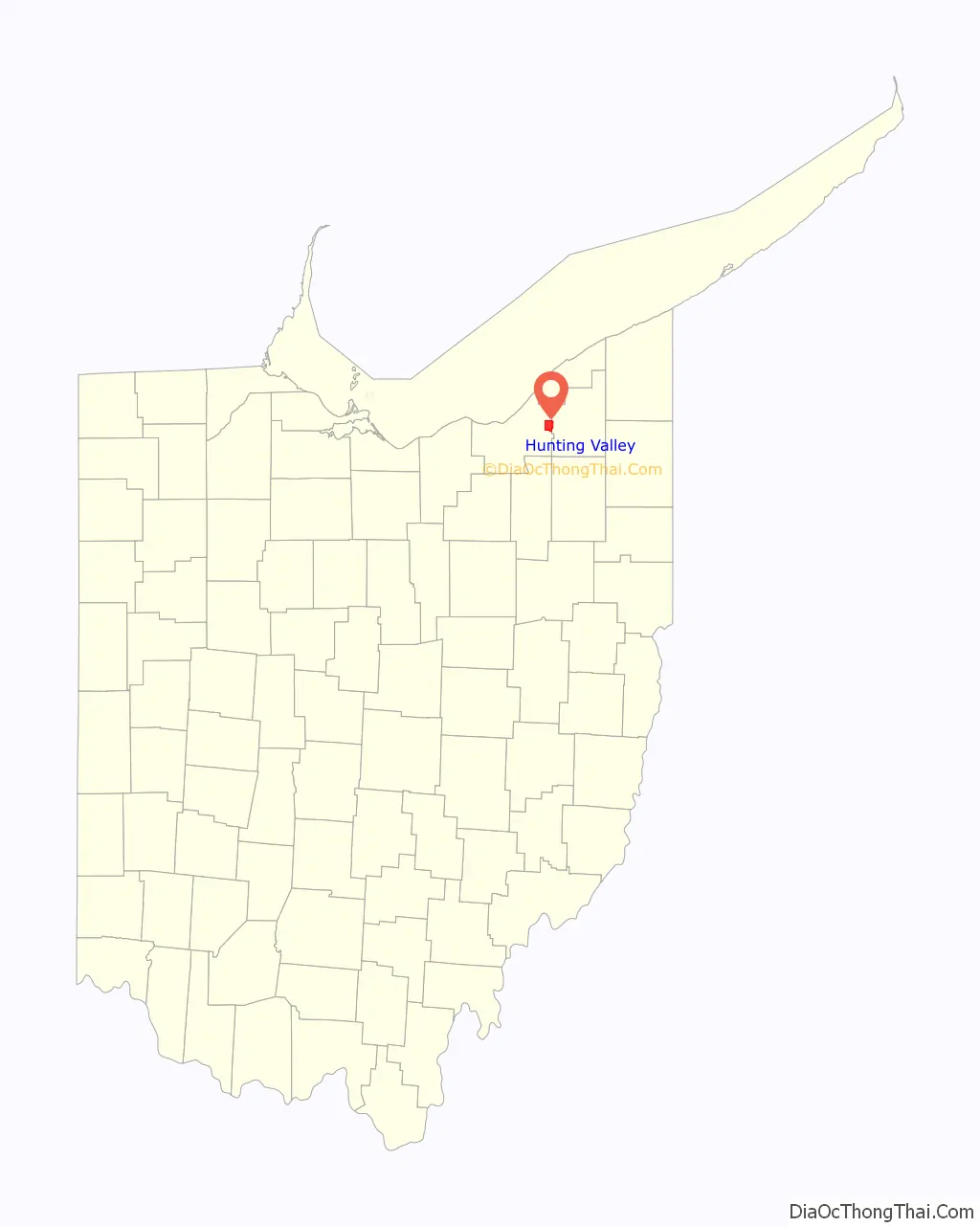
Hunting Valley location map. Where is Hunting Valley village?
History
Hunting Valley is one of the five municipalities, along with Moreland Hills, Orange Village, Pepper Pike and Woodmere, that originally formed Orange Township, established in 1820. Orange Township was the birthplace of President James A. Garfield in 1831.
Roundwood Manor was built in 1923 by the railway barons the Van Sweringen brothers. In 1924, Hunting Valley was incorporated as a village encompassing the northeast quadrant of the original Orange Township. Hunting Valley is also part of the Connecticut Western Reserve.
Hunting Valley has never joined Northeast Ohio Regional Sewer District, nor its storm water management program. It currently manages its own program in protecting the Chagrin River Watershed.
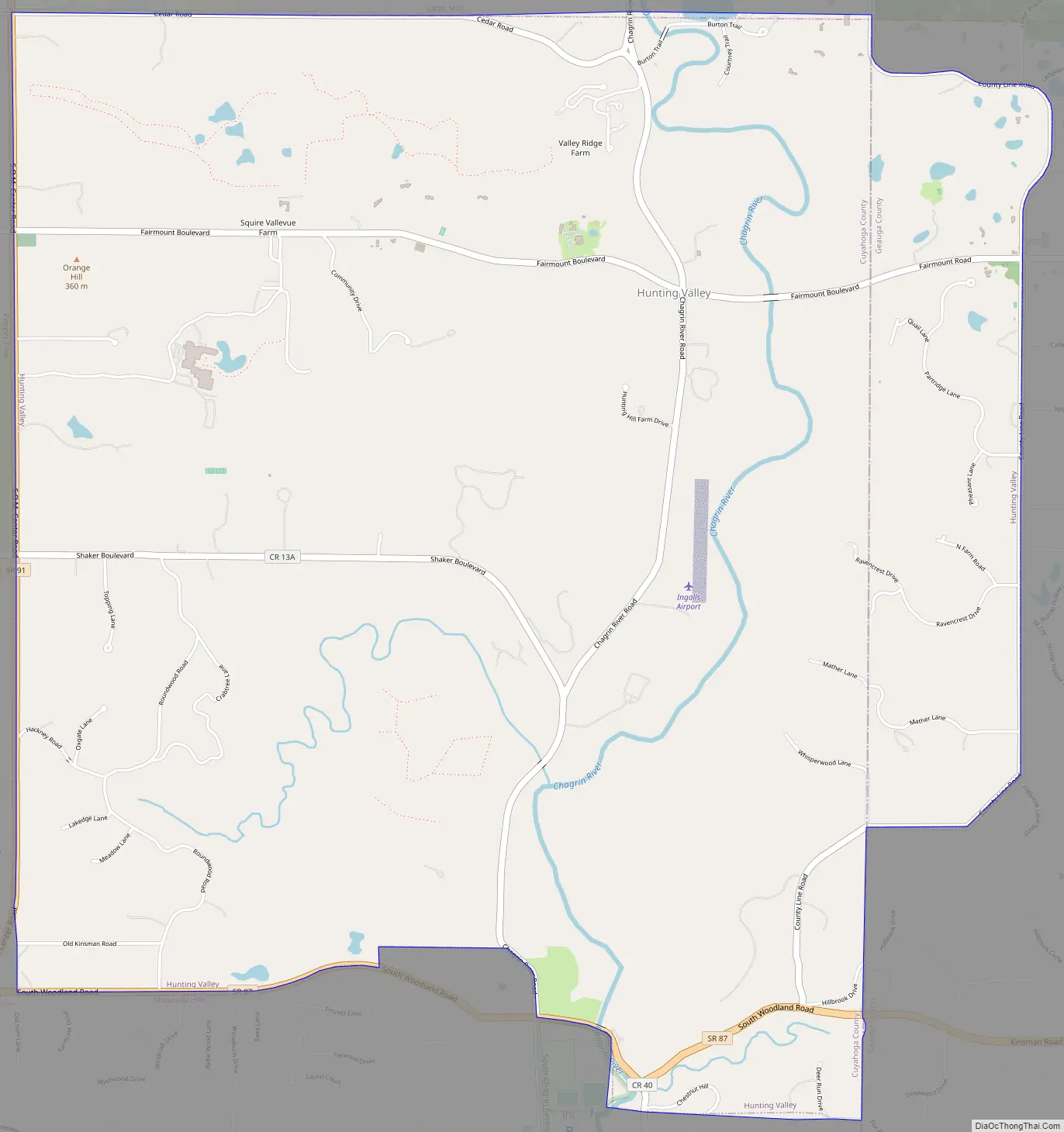
Hunting Valley Road Map
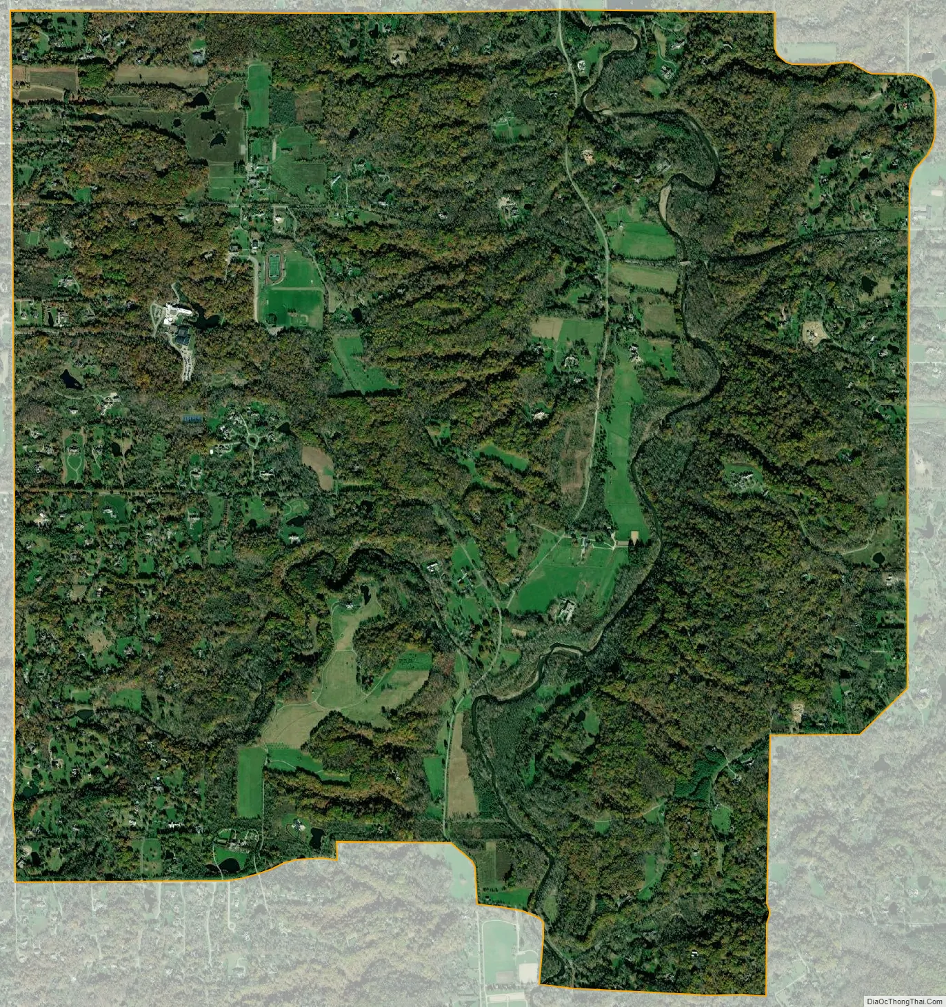
Hunting Valley city Satellite Map
Geography
Hunting Valley is located at 41°28′34″N 81°24′04″W / 41.476019°N 81.401233°W / 41.476019; -81.401233 (41.476019, -81.401233).
According to the United States Census Bureau, the village has a total area of 8.01 square miles (20.75 km), of which 7.89 square miles (20.44 km) is land and 0.12 square miles (0.31 km) is water. The village is almost entirely within Cuyahoga County limits, the exception being a small fraction on its easternmost edge, which is in neighboring Geauga County.
See also
Map of Ohio State and its subdivision:- Adams
- Allen
- Ashland
- Ashtabula
- Athens
- Auglaize
- Belmont
- Brown
- Butler
- Carroll
- Champaign
- Clark
- Clermont
- Clinton
- Columbiana
- Coshocton
- Crawford
- Cuyahoga
- Darke
- Defiance
- Delaware
- Erie
- Fairfield
- Fayette
- Franklin
- Fulton
- Gallia
- Geauga
- Greene
- Guernsey
- Hamilton
- Hancock
- Hardin
- Harrison
- Henry
- Highland
- Hocking
- Holmes
- Huron
- Jackson
- Jefferson
- Knox
- Lake
- Lake Erie
- Lawrence
- Licking
- Logan
- Lorain
- Lucas
- Madison
- Mahoning
- Marion
- Medina
- Meigs
- Mercer
- Miami
- Monroe
- Montgomery
- Morgan
- Morrow
- Muskingum
- Noble
- Ottawa
- Paulding
- Perry
- Pickaway
- Pike
- Portage
- Preble
- Putnam
- Richland
- Ross
- Sandusky
- Scioto
- Seneca
- Shelby
- Stark
- Summit
- Trumbull
- Tuscarawas
- Union
- Van Wert
- Vinton
- Warren
- Washington
- Wayne
- Williams
- Wood
- Wyandot
- Alabama
- Alaska
- Arizona
- Arkansas
- California
- Colorado
- Connecticut
- Delaware
- District of Columbia
- Florida
- Georgia
- Hawaii
- Idaho
- Illinois
- Indiana
- Iowa
- Kansas
- Kentucky
- Louisiana
- Maine
- Maryland
- Massachusetts
- Michigan
- Minnesota
- Mississippi
- Missouri
- Montana
- Nebraska
- Nevada
- New Hampshire
- New Jersey
- New Mexico
- New York
- North Carolina
- North Dakota
- Ohio
- Oklahoma
- Oregon
- Pennsylvania
- Rhode Island
- South Carolina
- South Dakota
- Tennessee
- Texas
- Utah
- Vermont
- Virginia
- Washington
- West Virginia
- Wisconsin
- Wyoming