Moreland Hills is a village in eastern Cuyahoga County, Ohio, United States. The population was 3,466 at the 2020 census. An eastern suburb of Cleveland, it is part of the Cleveland metropolitan area.
| Name: | Moreland Hills village |
|---|---|
| LSAD Code: | 47 |
| LSAD Description: | village (suffix) |
| State: | Ohio |
| County: | Cuyahoga County |
| Elevation: | 1,040 ft (317 m) |
| Total Area: | 7.24 sq mi (18.75 km²) |
| Land Area: | 7.16 sq mi (18.55 km²) |
| Water Area: | 0.08 sq mi (0.20 km²) |
| Total Population: | 3,466 |
| Population Density: | 484.08/sq mi (186.90/km²) |
| ZIP code: | 44022 |
| Area code: | 440 |
| FIPS code: | 3952052 |
| GNISfeature ID: | 1043484 |
| Website: | http://www.morelandhills.com/ |
Online Interactive Map
Click on ![]() to view map in "full screen" mode.
to view map in "full screen" mode.
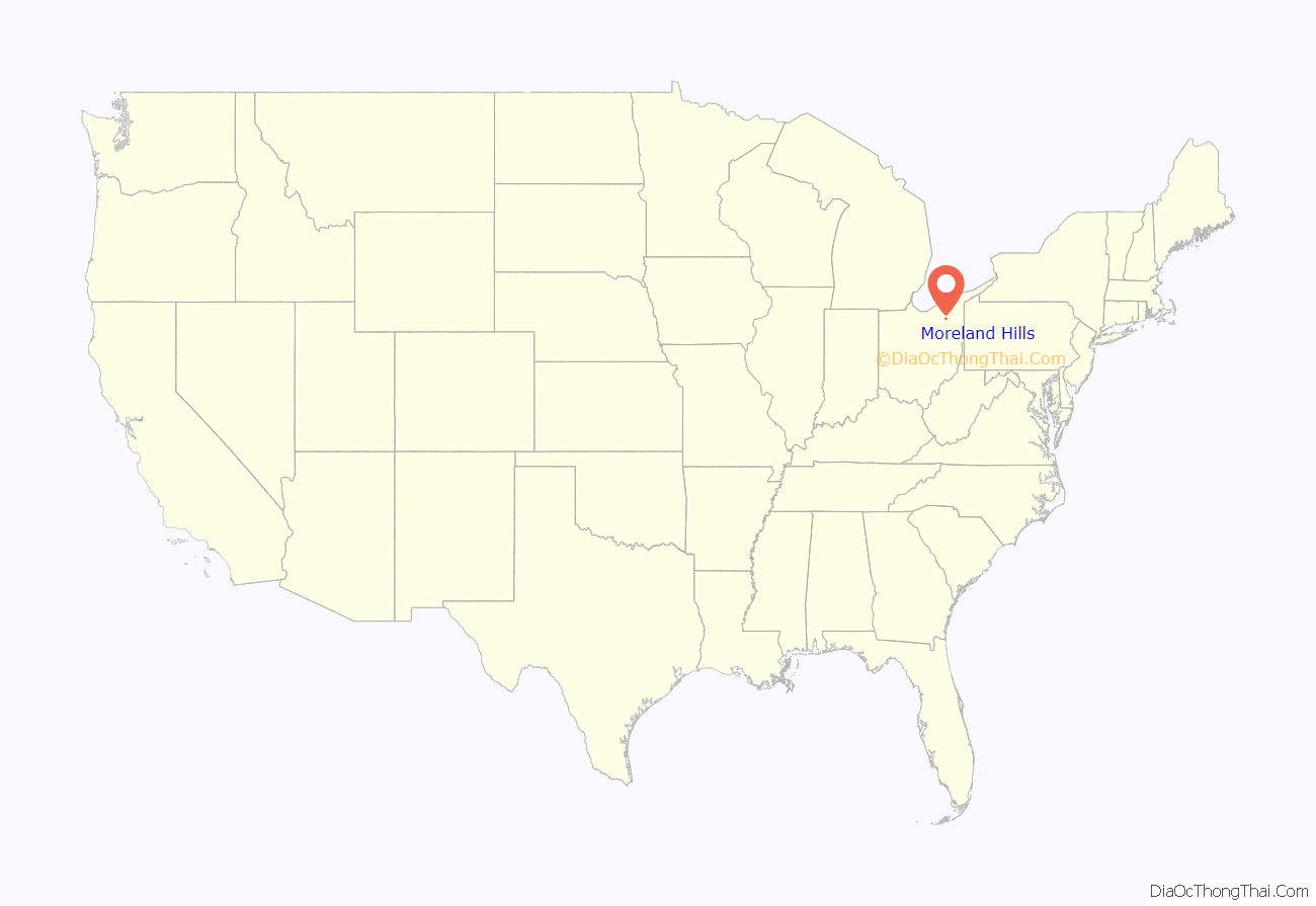
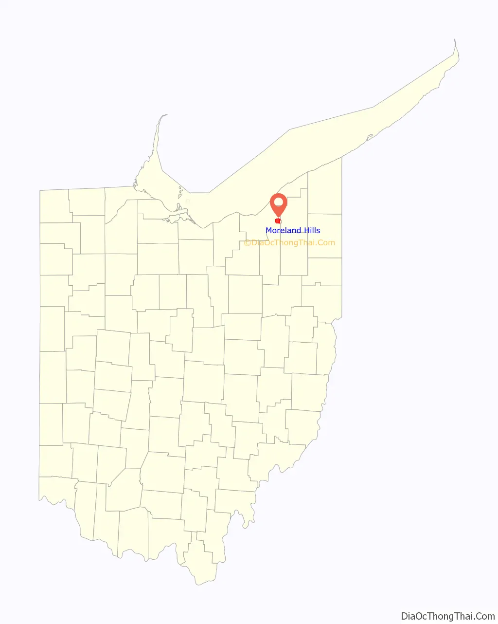
Moreland Hills location map. Where is Moreland Hills village?
History
In 1815, settlement began near the point where State Route 87 crosses the Chagrin River. Orange Township was established in 1820 and became known for its steam sawmills, cheese factories and farms. The village, which in 1831 was still part of Orange Township, was the birthplace of James A. Garfield, the 20th President of the United States. In 1897, the Cleveland-Chagrin Falls Railway spurred residential development in the area as it served as a commuter line to employment opportunities in Cleveland.
In the early 20th century, Orange Township was divided into five municipalities, Moreland Hills, Hunting Valley, Orange Village, Pepper Pike and Woodmere. Moreland Hills was incorporated as a village in 1929, encompassing the southeast quadrant of the original Orange Township. Moreland Hills adopted a village charter in 1972, defining the municipal corporation with a mayor-council form of government.
What is known as the Orange Conference in the history of the Church of Jesus Christ of Latter-day Saints (LDS) took place from October 25–26, 1831, in what is now Moreland Hills. It occurred at the home of Serenes Burnett, located at the southeast corner of today’s Ohio Route 87 and Chagrin River Road (not the house that now occupies the site). The three leading figures in the church at that time, Joseph Smith, Sidney Rigdon, and Oliver Cowdery were in attendance.
Moreland Hills is home to state historical landmark Hiram House, the country’s second settlement house after Hull House in Chicago. Hiram House moved its operations from Cleveland to its current site at Harvard Road and State Route 91 in the 1940s.
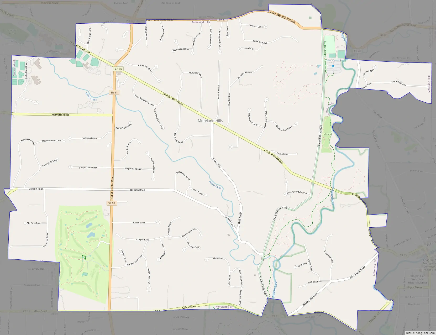
Moreland Hills Road Map
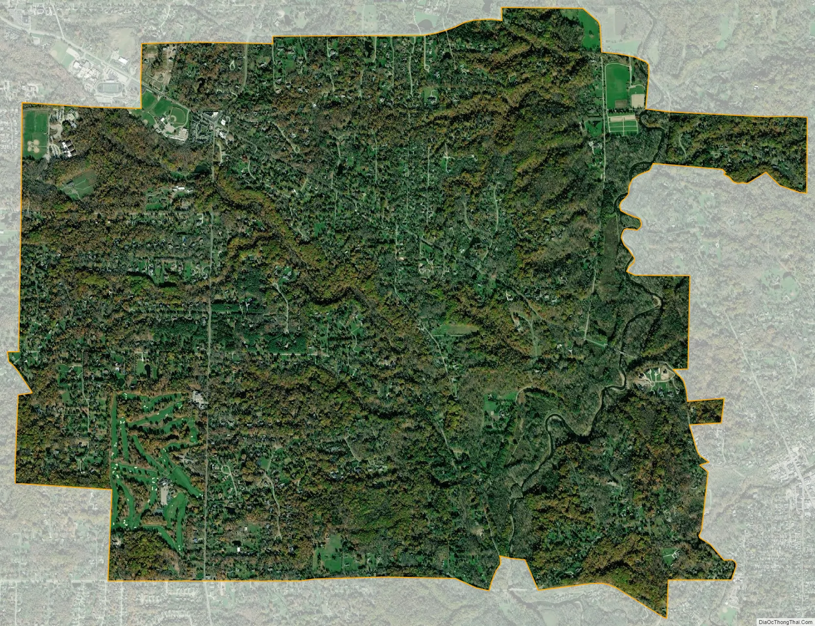
Moreland Hills city Satellite Map
Geography
Moreland Hills is located at 41°26′26″N 81°25′31″W / 41.44056°N 81.42528°W / 41.44056; -81.42528 (41.440456, -81.425210).
According to the United States Census Bureau, the village has a total area of 7.23 square miles (18.73 km), of which 7.15 square miles (18.52 km) is land and 0.08 square miles (0.21 km) is water.
See also
Map of Ohio State and its subdivision:- Adams
- Allen
- Ashland
- Ashtabula
- Athens
- Auglaize
- Belmont
- Brown
- Butler
- Carroll
- Champaign
- Clark
- Clermont
- Clinton
- Columbiana
- Coshocton
- Crawford
- Cuyahoga
- Darke
- Defiance
- Delaware
- Erie
- Fairfield
- Fayette
- Franklin
- Fulton
- Gallia
- Geauga
- Greene
- Guernsey
- Hamilton
- Hancock
- Hardin
- Harrison
- Henry
- Highland
- Hocking
- Holmes
- Huron
- Jackson
- Jefferson
- Knox
- Lake
- Lake Erie
- Lawrence
- Licking
- Logan
- Lorain
- Lucas
- Madison
- Mahoning
- Marion
- Medina
- Meigs
- Mercer
- Miami
- Monroe
- Montgomery
- Morgan
- Morrow
- Muskingum
- Noble
- Ottawa
- Paulding
- Perry
- Pickaway
- Pike
- Portage
- Preble
- Putnam
- Richland
- Ross
- Sandusky
- Scioto
- Seneca
- Shelby
- Stark
- Summit
- Trumbull
- Tuscarawas
- Union
- Van Wert
- Vinton
- Warren
- Washington
- Wayne
- Williams
- Wood
- Wyandot
- Alabama
- Alaska
- Arizona
- Arkansas
- California
- Colorado
- Connecticut
- Delaware
- District of Columbia
- Florida
- Georgia
- Hawaii
- Idaho
- Illinois
- Indiana
- Iowa
- Kansas
- Kentucky
- Louisiana
- Maine
- Maryland
- Massachusetts
- Michigan
- Minnesota
- Mississippi
- Missouri
- Montana
- Nebraska
- Nevada
- New Hampshire
- New Jersey
- New Mexico
- New York
- North Carolina
- North Dakota
- Ohio
- Oklahoma
- Oregon
- Pennsylvania
- Rhode Island
- South Carolina
- South Dakota
- Tennessee
- Texas
- Utah
- Vermont
- Virginia
- Washington
- West Virginia
- Wisconsin
- Wyoming


