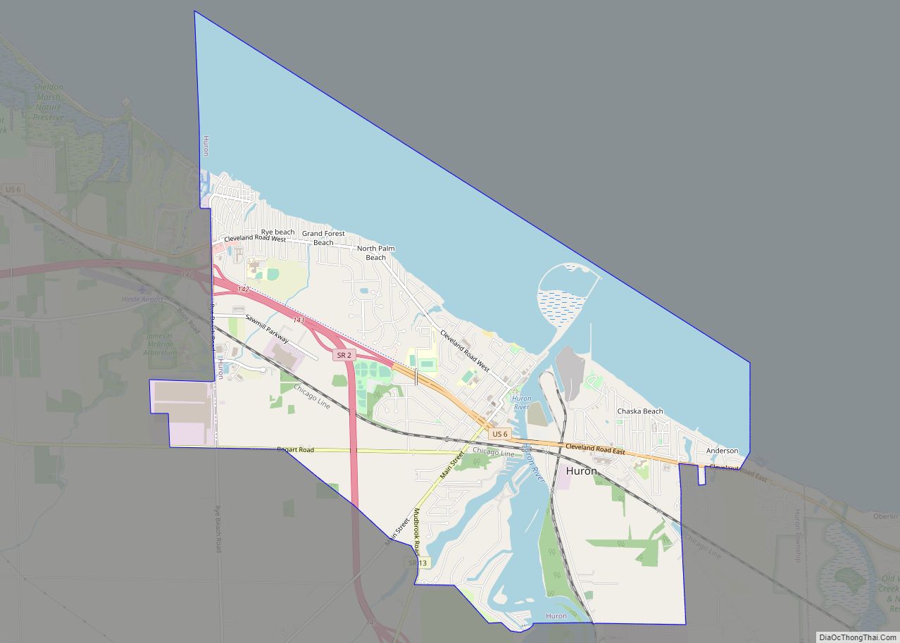
Huron is a city in Erie County, Ohio, United States, located at the mouth of the Huron River on Lake Erie. The population was 6,922 at the 2020 census. It is part of the Sandusky micropolitan area.
| Name: | Huron city |
|---|---|
| LSAD Code: | 25 |
| LSAD Description: | city (suffix) |
| State: | Ohio |
| County: | Erie County |
| Elevation: | 584 ft (178 m) |
| Total Area: | 7.91 sq mi (20.48 km²) |
| Land Area: | 4.94 sq mi (12.80 km²) |
| Water Area: | 2.96 sq mi (7.67 km²) |
| Total Population: | 6,922 |
| Population Density: | 1,400.36/sq mi (540.65/km²) |
| Area code: | 419 and 567 |
| FIPS code: | 3937016 |
| Website: | http://www.cityofhuron.org/ |
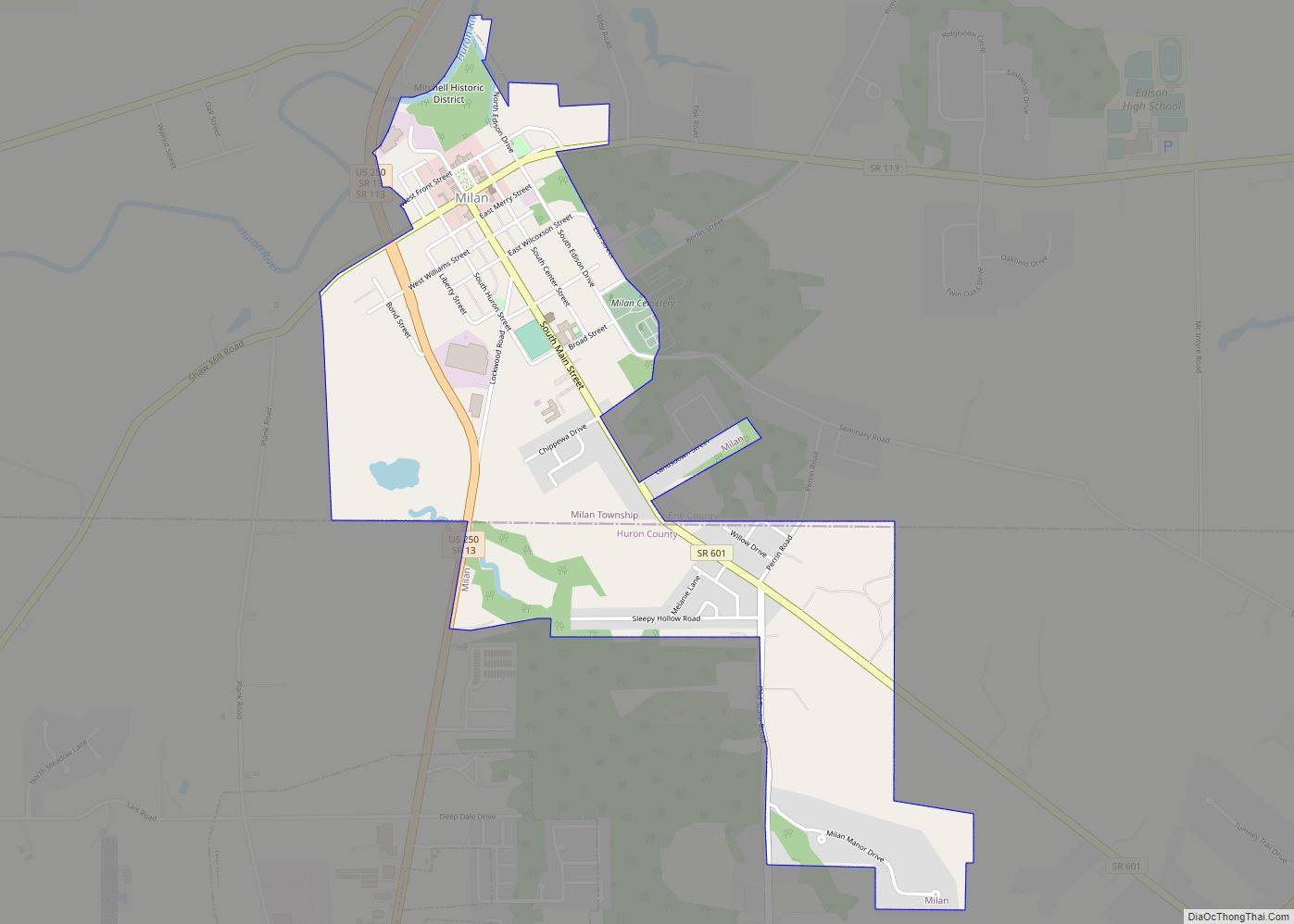
Online Interactive Map
Click on ![]() to view map in "full screen" mode.
to view map in "full screen" mode.
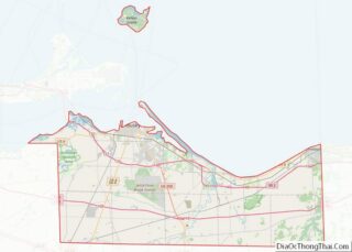
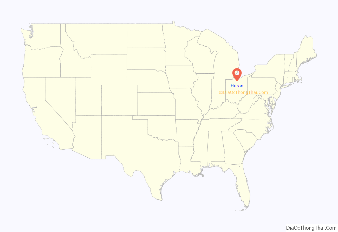
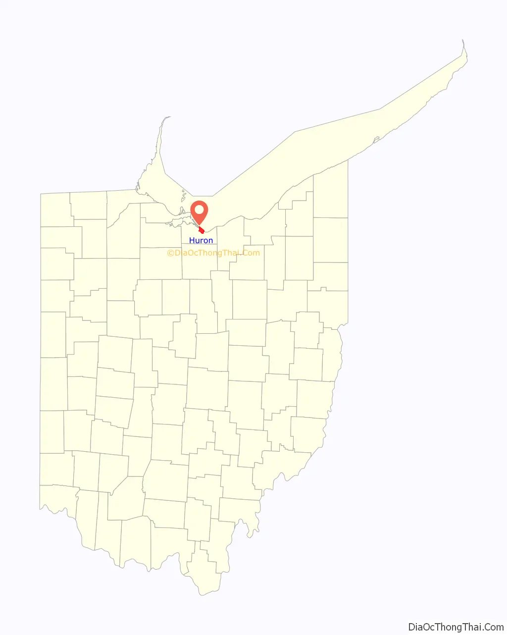
Huron location map. Where is Huron city?
History
Huron Township was at the center of the “Firelands” region of the Connecticut Western Reserve. The first permanent settler in the area that became Huron Township was a Quebec-born trapper, trader and interpreter named John Baptiste Flammand (or, “Flemming”; and often misspelled “Flemmond”), who established a trading post about 1805, approx. two miles inland upon the east bank of the Huron River. Other French traders had preceded him, including Gabriel Hunot in the 1780s.
Huron Township was established in 1809. Huron Village was later established between 1821 and 1824, when a town plat was surveyed, and port facilities at the mouth of the Huron River were developed; and the village quickly became a major shipbuilding center in the 1830s. [The current community of Huron is sometimes mistaken to have been the same as the “town plat of Huron” (also known as “the old County Seat” village), which was established about 1814, and was actually within the present Milan Township (formerly known as Avery Township before 1821).]
The Wheeling and Lake Erie Railroad greatly expanded Huron’s port on the east bank of the Huron River beginning in 1880. The first cargo of iron ore at the W&LE docks was received May 21, 1884. The port is still in use today, accepting cargoes of iron ore and limestone from lake freighters. Huron was also the home port of several commercial fishing fleets before unbridled lake pollution decimated the industry on Lake Erie by the early 1970s. Water quality in Lake Erie has greatly improved as a result of strong environmental controls since then and sport fishing has increased in popularity in the area. However, the Lake faces new threats from algal blooms and several invasive species such as zebra mussels and Asian carp that may impact sport fishing in the future.
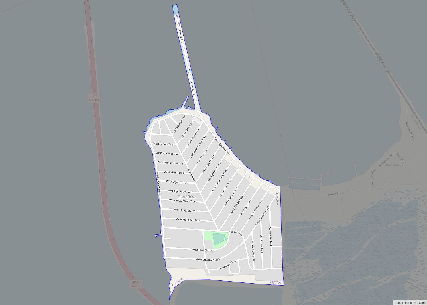
Huron Road Map
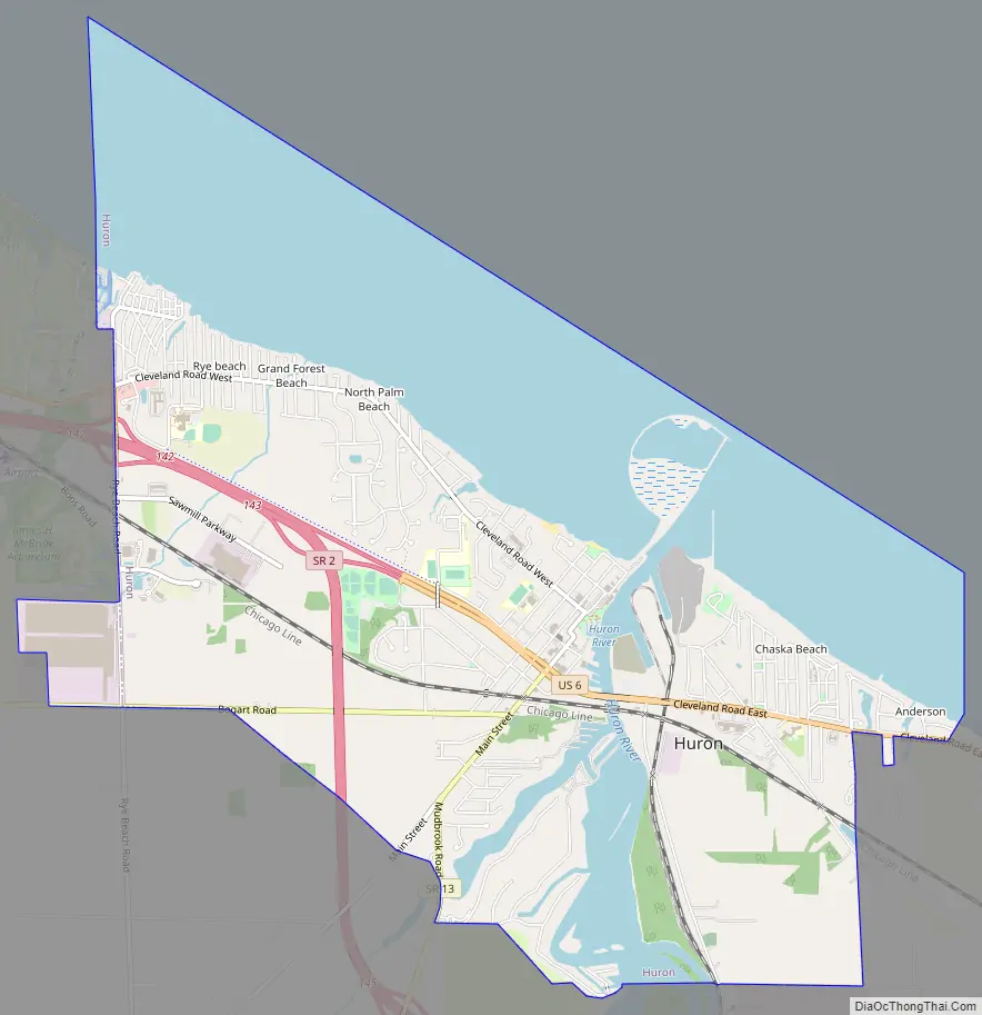
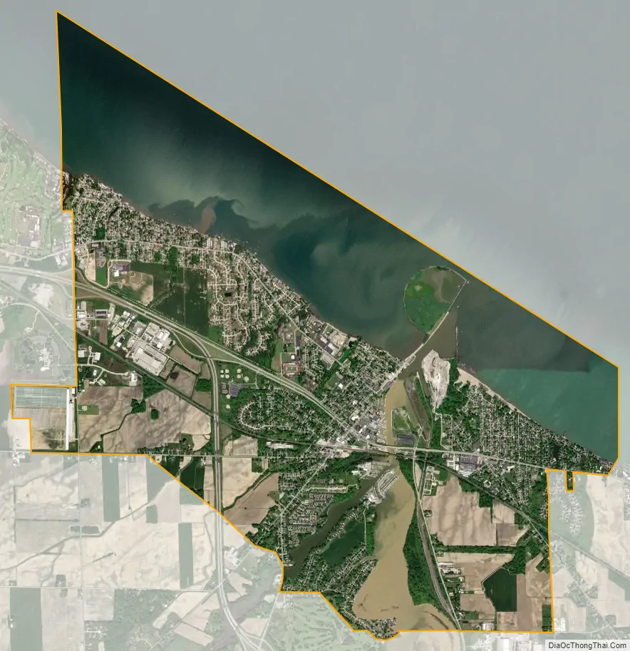
Huron city Satellite Map
Geography
Huron is located at 41°23′59″N 82°33′54″W / 41.39972°N 82.56500°W / 41.39972; -82.56500 (41.399669, -82.564974).
According to the United States Census Bureau, the city has a total area of 7.73 square miles (20.02 km), of which 4.84 square miles (12.54 km) is land and 2.89 square miles (7.49 km) is water.
See also
Map of Ohio State and its subdivision:- Adams
- Allen
- Ashland
- Ashtabula
- Athens
- Auglaize
- Belmont
- Brown
- Butler
- Carroll
- Champaign
- Clark
- Clermont
- Clinton
- Columbiana
- Coshocton
- Crawford
- Cuyahoga
- Darke
- Defiance
- Delaware
- Erie
- Fairfield
- Fayette
- Franklin
- Fulton
- Gallia
- Geauga
- Greene
- Guernsey
- Hamilton
- Hancock
- Hardin
- Harrison
- Henry
- Highland
- Hocking
- Holmes
- Huron
- Jackson
- Jefferson
- Knox
- Lake
- Lake Erie
- Lawrence
- Licking
- Logan
- Lorain
- Lucas
- Madison
- Mahoning
- Marion
- Medina
- Meigs
- Mercer
- Miami
- Monroe
- Montgomery
- Morgan
- Morrow
- Muskingum
- Noble
- Ottawa
- Paulding
- Perry
- Pickaway
- Pike
- Portage
- Preble
- Putnam
- Richland
- Ross
- Sandusky
- Scioto
- Seneca
- Shelby
- Stark
- Summit
- Trumbull
- Tuscarawas
- Union
- Van Wert
- Vinton
- Warren
- Washington
- Wayne
- Williams
- Wood
- Wyandot
- Alabama
- Alaska
- Arizona
- Arkansas
- California
- Colorado
- Connecticut
- Delaware
- District of Columbia
- Florida
- Georgia
- Hawaii
- Idaho
- Illinois
- Indiana
- Iowa
- Kansas
- Kentucky
- Louisiana
- Maine
- Maryland
- Massachusetts
- Michigan
- Minnesota
- Mississippi
- Missouri
- Montana
- Nebraska
- Nevada
- New Hampshire
- New Jersey
- New Mexico
- New York
- North Carolina
- North Dakota
- Ohio
- Oklahoma
- Oregon
- Pennsylvania
- Rhode Island
- South Carolina
- South Dakota
- Tennessee
- Texas
- Utah
- Vermont
- Virginia
- Washington
- West Virginia
- Wisconsin
- Wyoming