Ithaca is a village in Darke County, Ohio, United States. The population was 102 at the 2000 census and 136 in 2010.
| Name: | Ithaca village |
|---|---|
| LSAD Code: | 47 |
| LSAD Description: | village (suffix) |
| State: | Ohio |
| County: | Darke County |
| Elevation: | 1,033 ft (315 m) |
| Total Area: | 0.03 sq mi (0.08 km²) |
| Land Area: | 0.03 sq mi (0.08 km²) |
| Water Area: | 0.00 sq mi (0.00 km²) |
| Total Population: | 81 |
| Population Density: | 2,612.90/sq mi (1,001.50/km²) |
| ZIP code: | 45304 |
| Area code: | 937, 326 |
| FIPS code: | 3937604 |
| GNISfeature ID: | 1064893 |
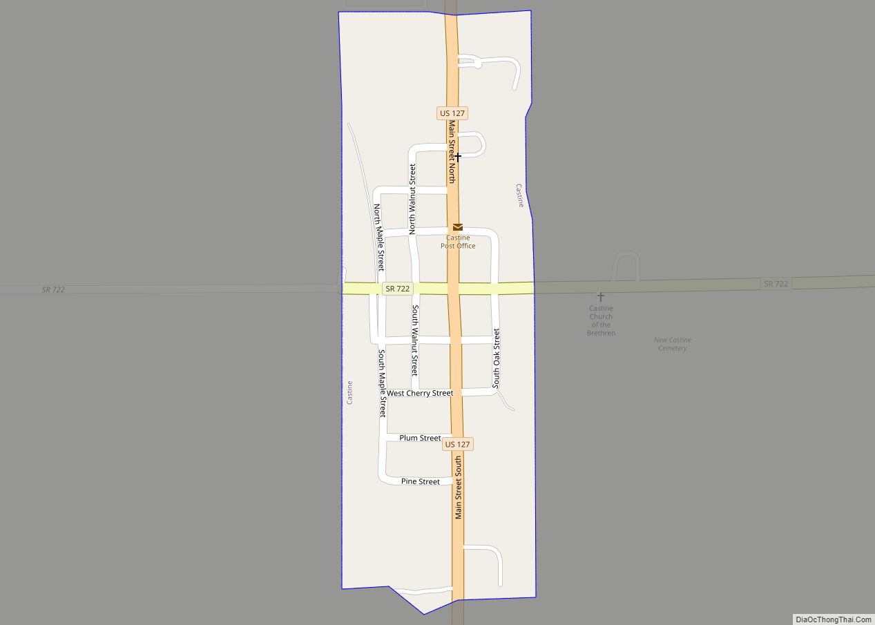
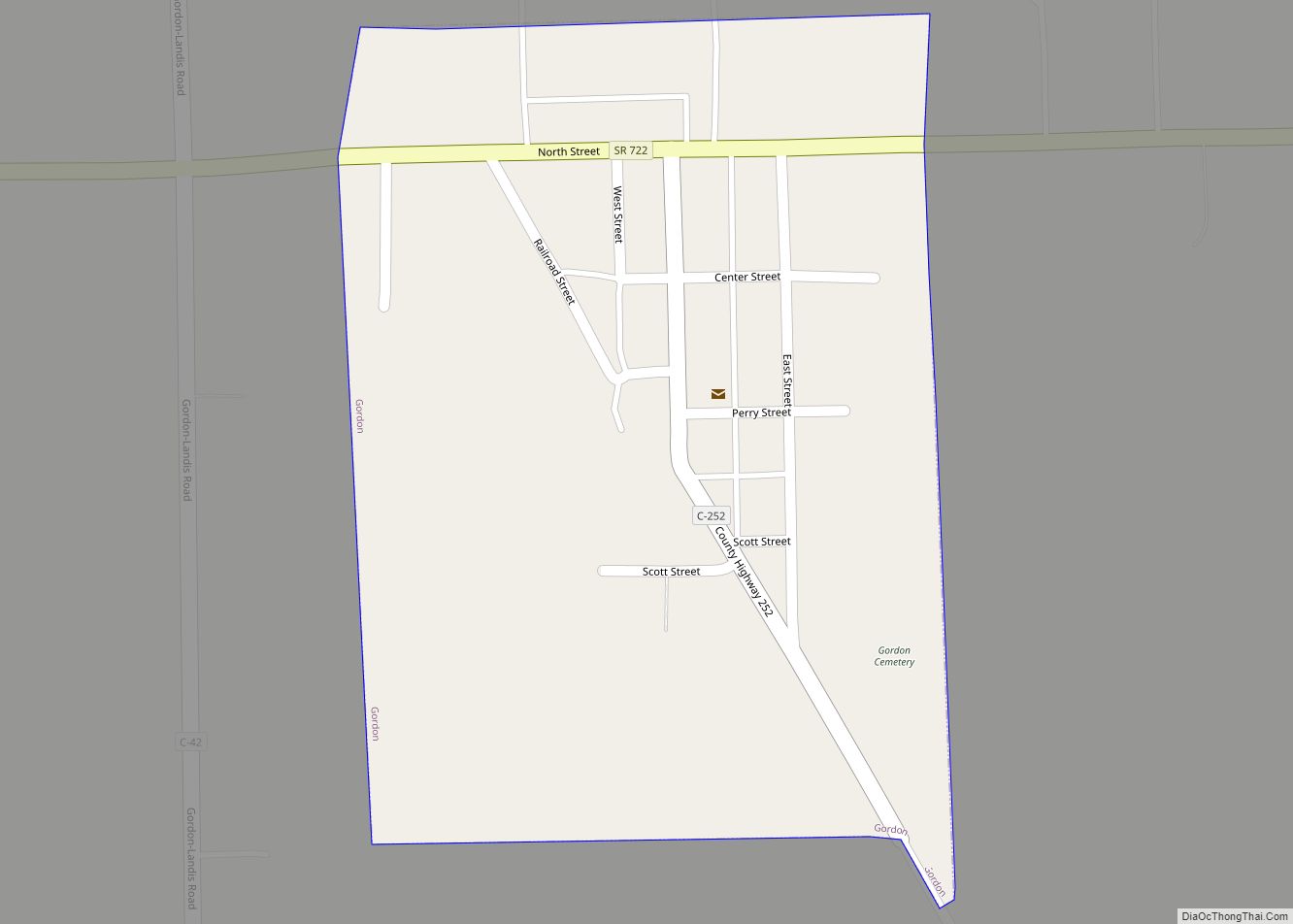
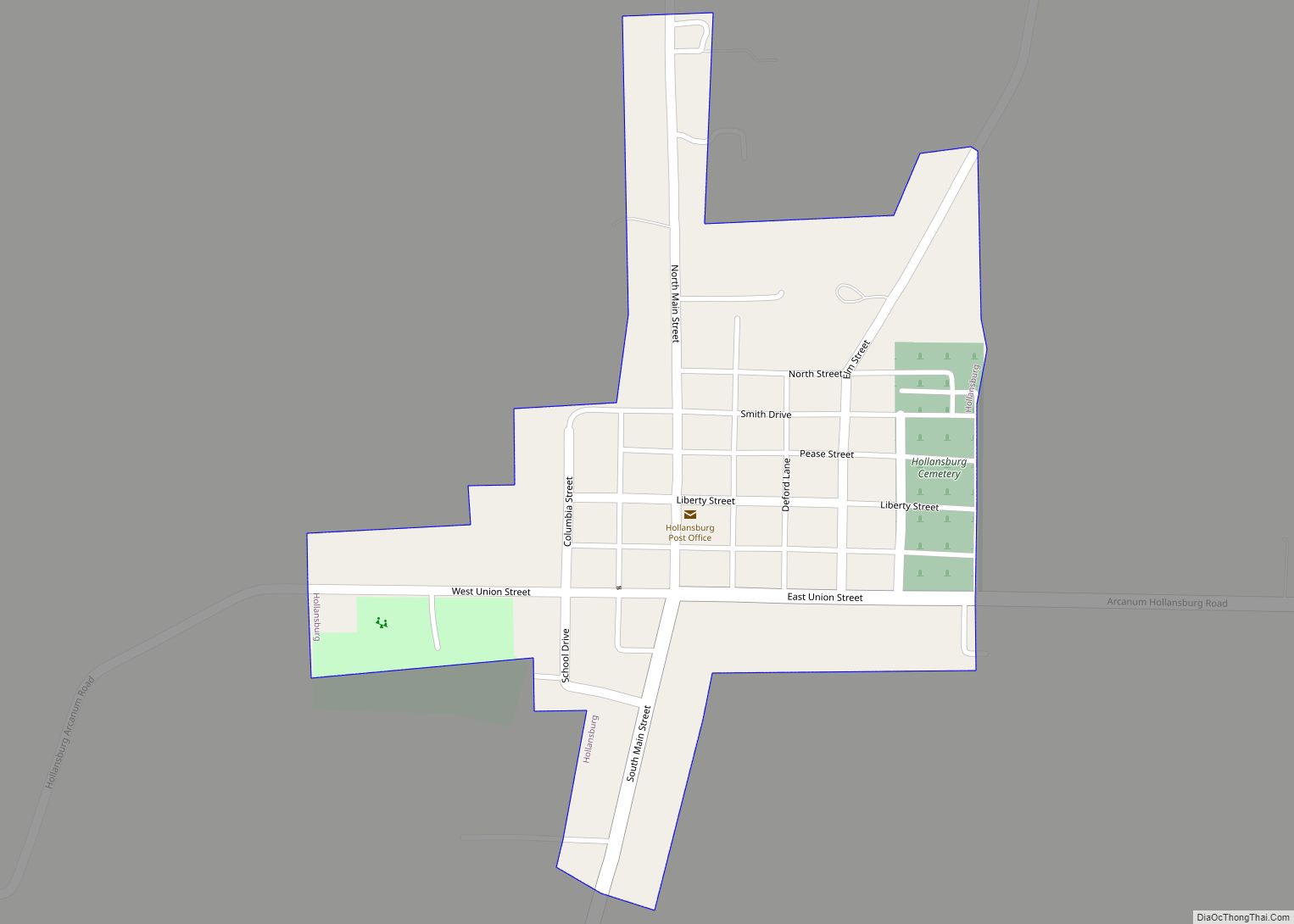
Online Interactive Map
Click on ![]() to view map in "full screen" mode.
to view map in "full screen" mode.
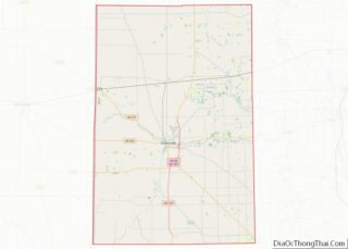
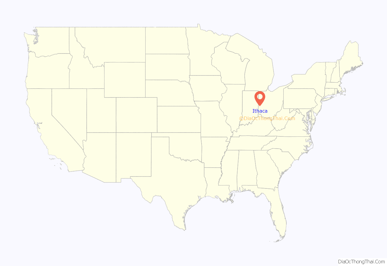
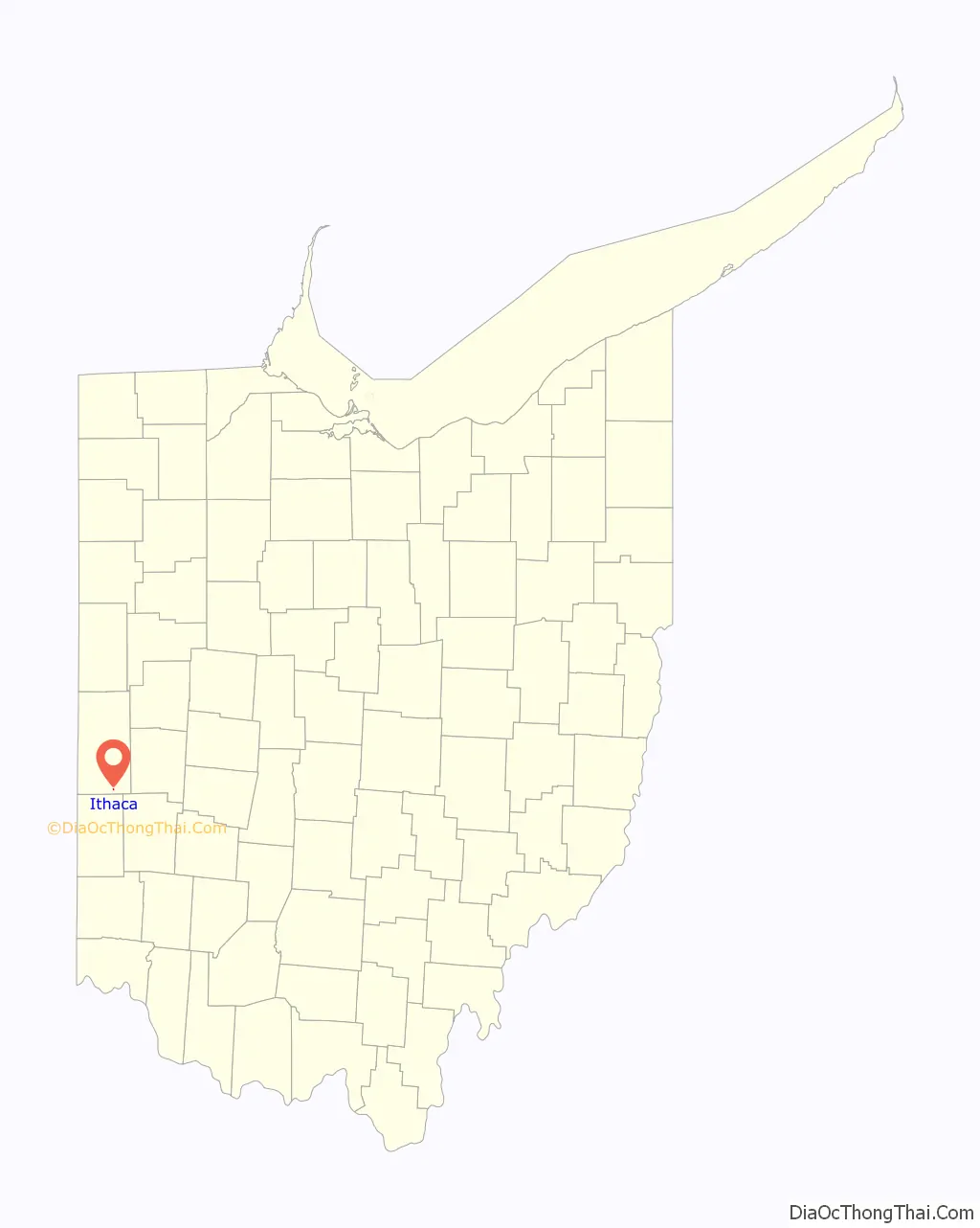
Ithaca location map. Where is Ithaca village?
History
John Colville platted Ithaca in 1832 and gave it the name of “Twinsborough.” Its location on an established highway and along the Ohio Electric Railway caused the community to grow rapidly. The present name is a transfer from Ithaca, New York.
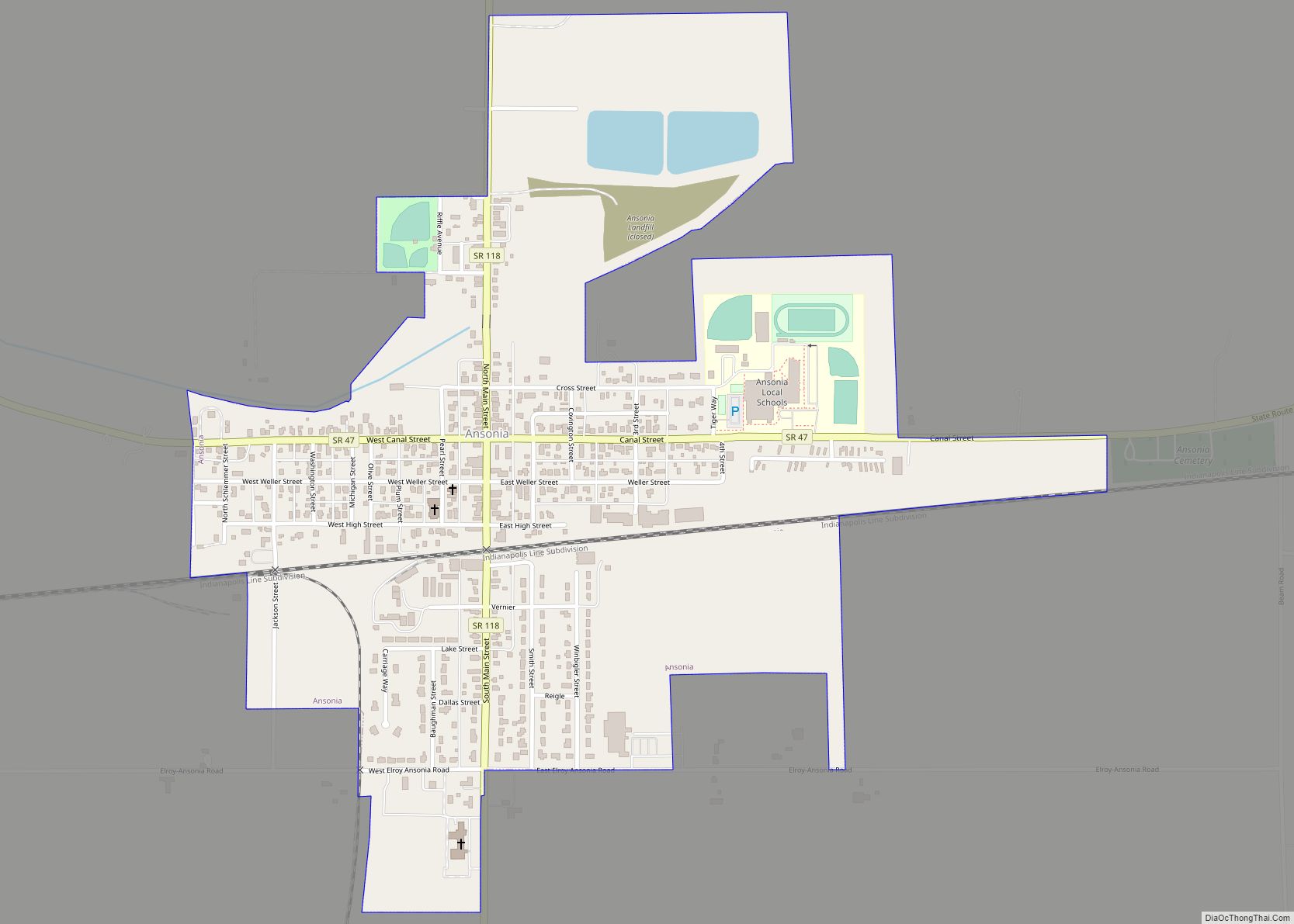
Ithaca Road Map
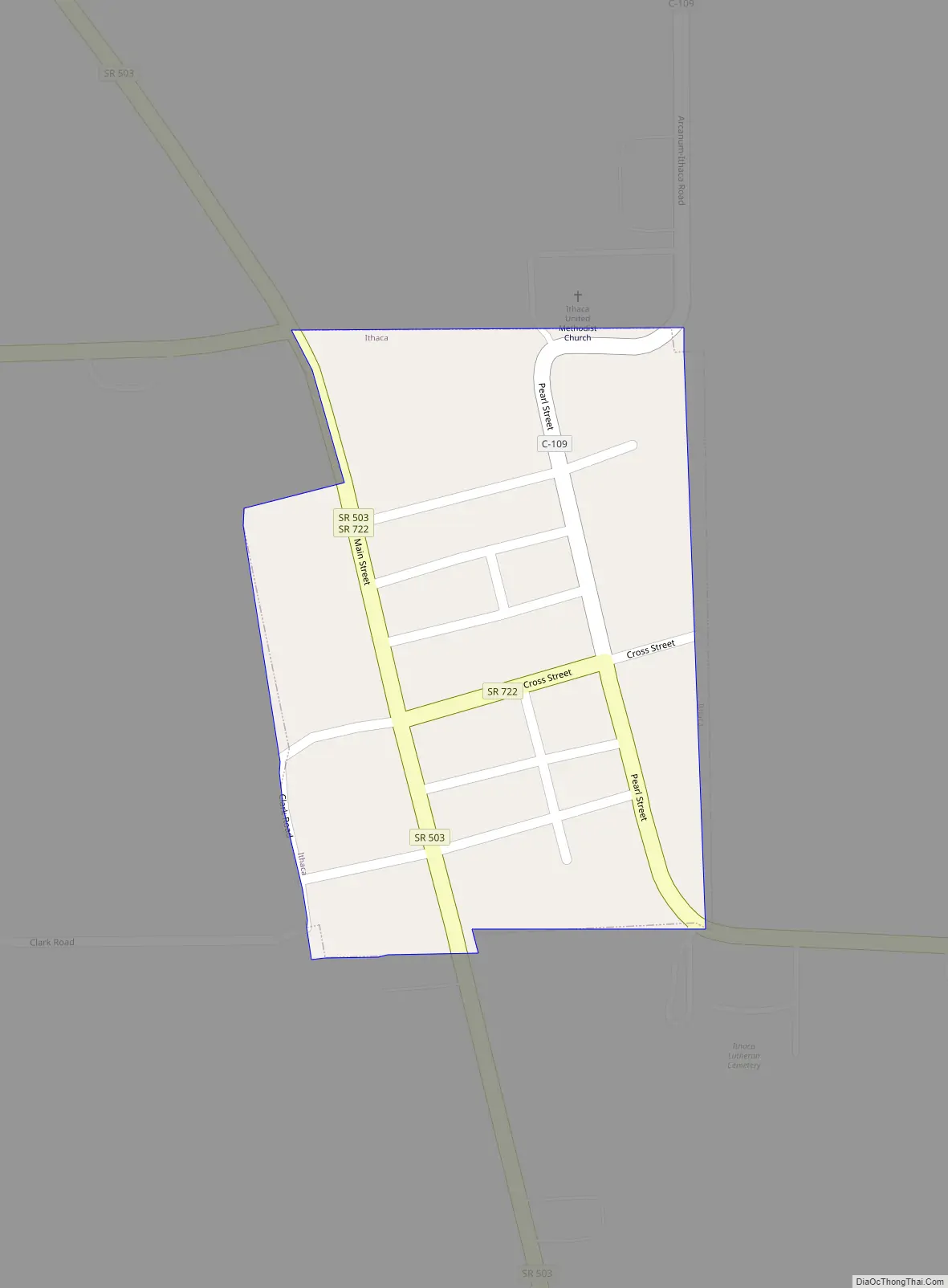
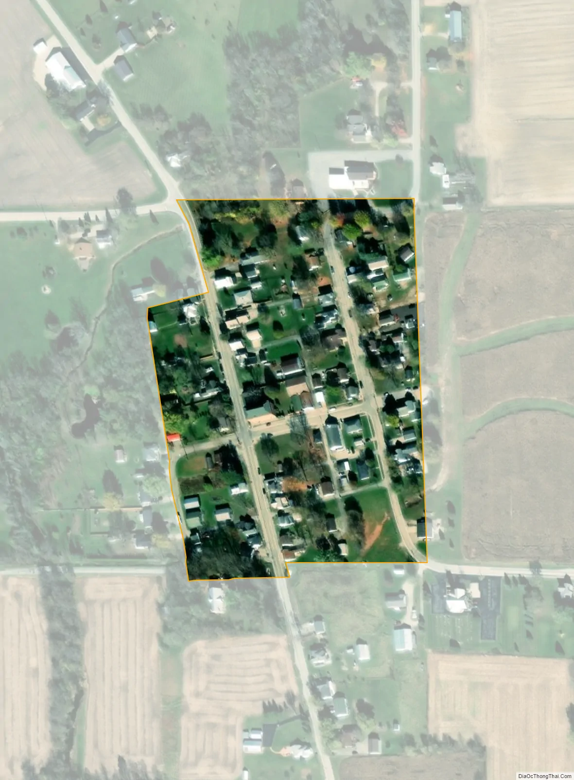
Ithaca city Satellite Map
Geography
Ithaca is located at 39°56′18″N 84°33′12″W / 39.93833°N 84.55333°W / 39.93833; -84.55333 (39.938274, -84.553396).
According to the United States Census Bureau, the village has a total area of 0.03 square miles (0.08 km), all land.
See also
Map of Ohio State and its subdivision:- Adams
- Allen
- Ashland
- Ashtabula
- Athens
- Auglaize
- Belmont
- Brown
- Butler
- Carroll
- Champaign
- Clark
- Clermont
- Clinton
- Columbiana
- Coshocton
- Crawford
- Cuyahoga
- Darke
- Defiance
- Delaware
- Erie
- Fairfield
- Fayette
- Franklin
- Fulton
- Gallia
- Geauga
- Greene
- Guernsey
- Hamilton
- Hancock
- Hardin
- Harrison
- Henry
- Highland
- Hocking
- Holmes
- Huron
- Jackson
- Jefferson
- Knox
- Lake
- Lake Erie
- Lawrence
- Licking
- Logan
- Lorain
- Lucas
- Madison
- Mahoning
- Marion
- Medina
- Meigs
- Mercer
- Miami
- Monroe
- Montgomery
- Morgan
- Morrow
- Muskingum
- Noble
- Ottawa
- Paulding
- Perry
- Pickaway
- Pike
- Portage
- Preble
- Putnam
- Richland
- Ross
- Sandusky
- Scioto
- Seneca
- Shelby
- Stark
- Summit
- Trumbull
- Tuscarawas
- Union
- Van Wert
- Vinton
- Warren
- Washington
- Wayne
- Williams
- Wood
- Wyandot
- Alabama
- Alaska
- Arizona
- Arkansas
- California
- Colorado
- Connecticut
- Delaware
- District of Columbia
- Florida
- Georgia
- Hawaii
- Idaho
- Illinois
- Indiana
- Iowa
- Kansas
- Kentucky
- Louisiana
- Maine
- Maryland
- Massachusetts
- Michigan
- Minnesota
- Mississippi
- Missouri
- Montana
- Nebraska
- Nevada
- New Hampshire
- New Jersey
- New Mexico
- New York
- North Carolina
- North Dakota
- Ohio
- Oklahoma
- Oregon
- Pennsylvania
- Rhode Island
- South Carolina
- South Dakota
- Tennessee
- Texas
- Utah
- Vermont
- Virginia
- Washington
- West Virginia
- Wisconsin
- Wyoming