Jeromesville is a village in Ashland County, Ohio, United States. The population was 531 at the 2020 census.
| Name: | Jeromesville village |
|---|---|
| LSAD Code: | 47 |
| LSAD Description: | village (suffix) |
| State: | Ohio |
| County: | Ashland County |
| Incorporated: | February 14, 1815 |
| Elevation: | 1,007 ft (307 m) |
| Total Area: | 0.35 sq mi (0.90 km²) |
| Land Area: | 0.34 sq mi (0.89 km²) |
| Water Area: | 0.00 sq mi (0.00 km²) |
| Total Population: | 531 |
| Population Density: | 1,539.13/sq mi (594.04/km²) |
| ZIP code: | 44840 |
| Area code: | 419 |
| FIPS code: | 3939060 |
| GNISfeature ID: | 1085470 |
| Website: | https://jeromesville.nationbuilder.com/ |
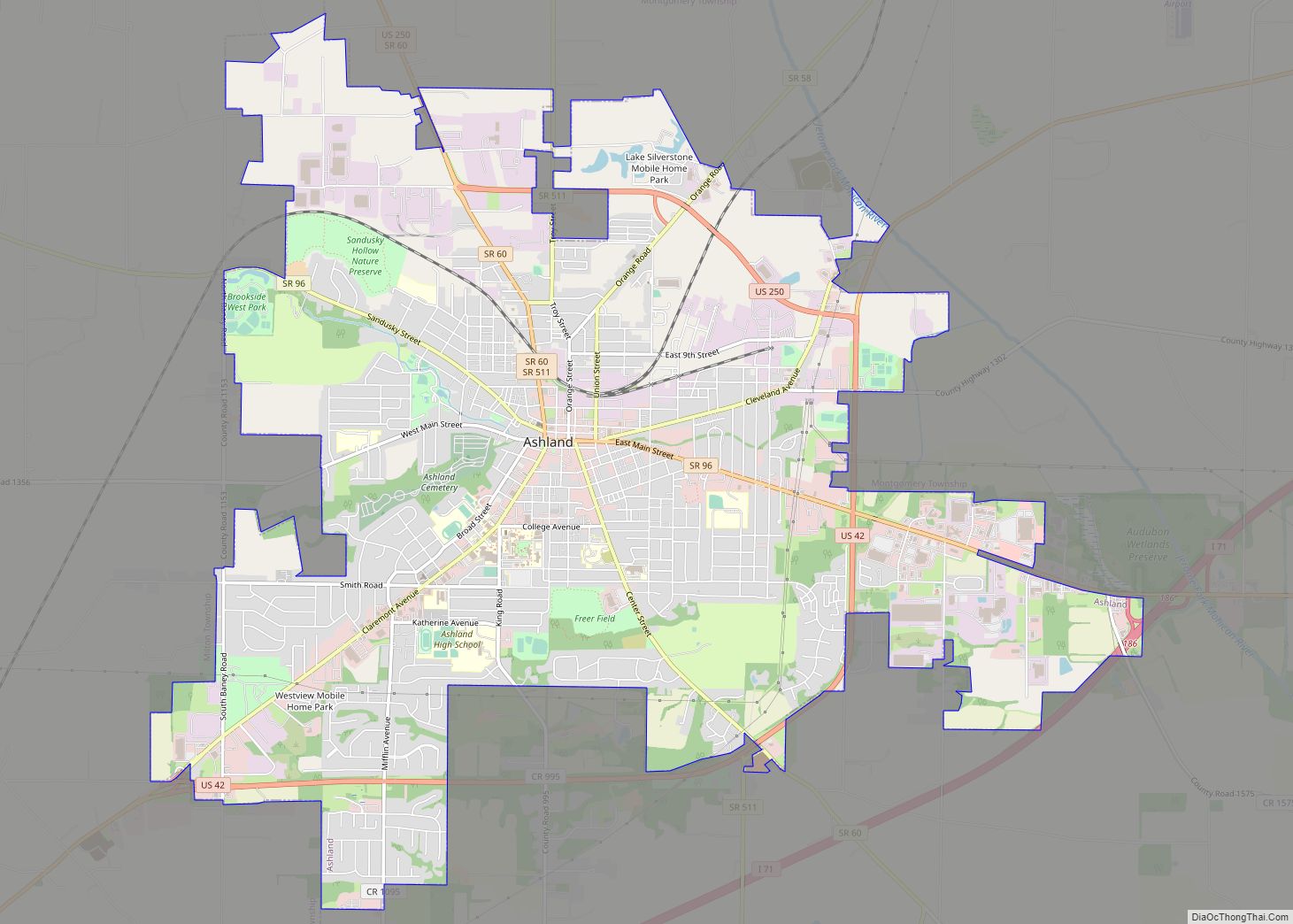
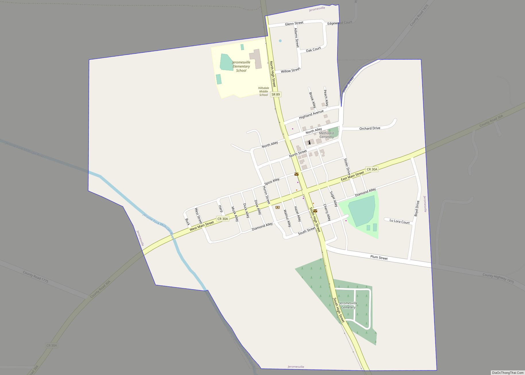
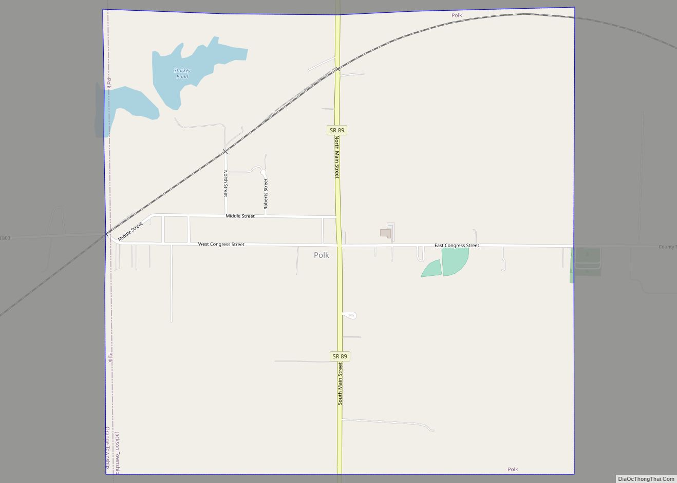
Online Interactive Map
Click on ![]() to view map in "full screen" mode.
to view map in "full screen" mode.
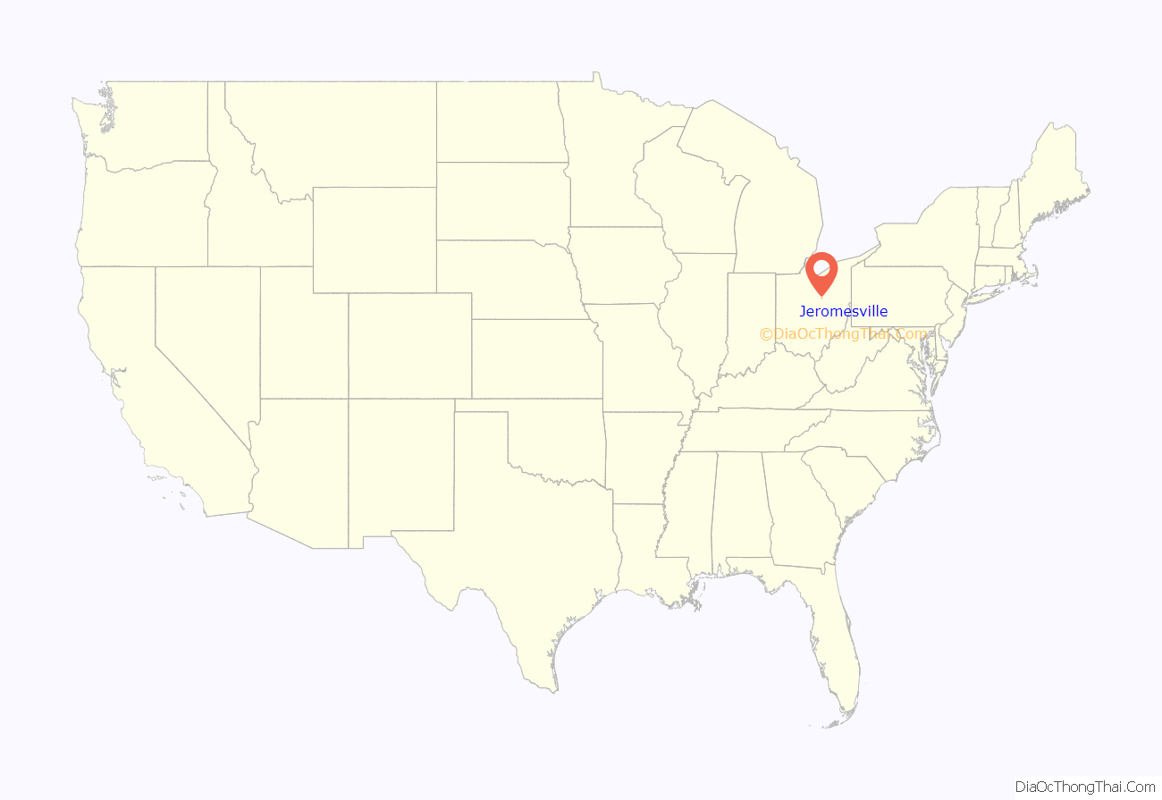
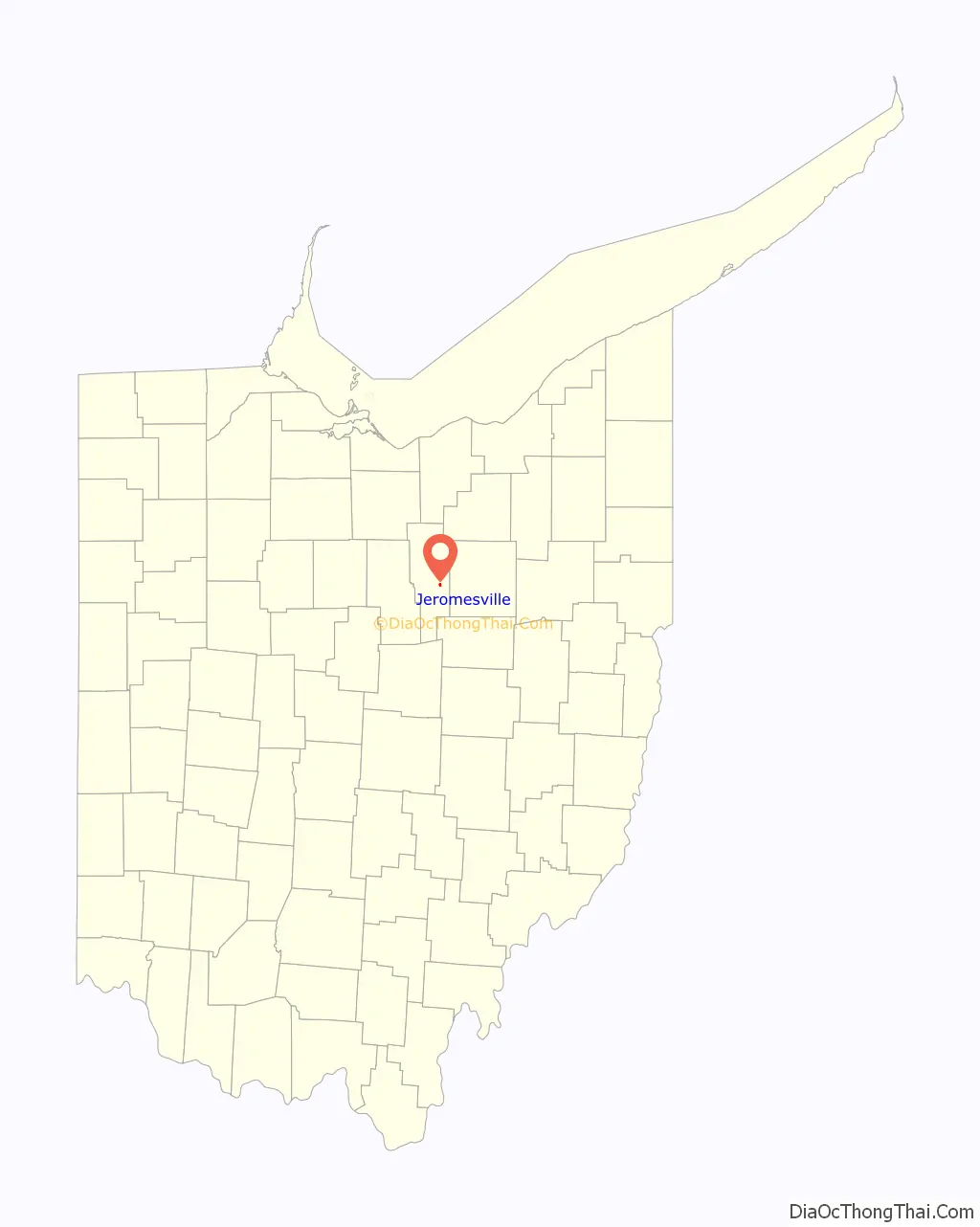
Jeromesville location map. Where is Jeromesville village?
History
Jeromesville was platted in 1815 ( near the site of a former and abandoned Native-American village named “Jerometown”). It is named for Jean/John Baptiste Jerome, (a French-Canadian fur trader and pioneer settler), from whom, Christian Deardorf and William Vaughn purchased land and ‘founded’ a new pioneer village, (which was originally spelled “Jeromeville”). A post office has been in operation at Jeromesville since 1816. [Note: the Native-American village of Jerometown is often attributed to be the same as “Mohican Johnstown”; however, the mid-1700s village named “Mohican Johnstown” was not at this same location.(see Lenape settlements)]
In 2018, Mayor Randy Spade founded the Jeromesville Junior Council, an advisory group consisting of 5th through 8th graders attending Hillsdale Local School District.
This is the first Junior Village Council codified into law in the State of Ohio.
Jeromesville Road Map
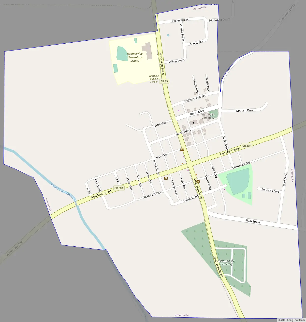
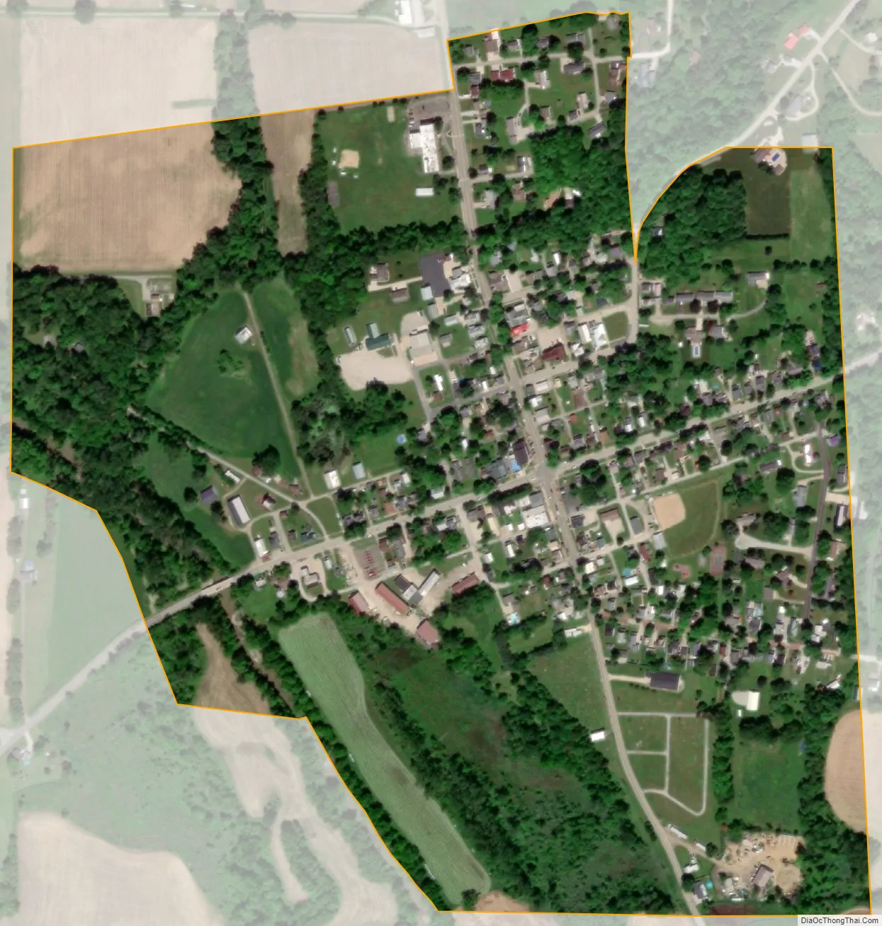
Jeromesville city Satellite Map
Geography
Jeromesville is located at 40°48′15″N 82°11′45″W / 40.80417°N 82.19583°W / 40.80417; -82.19583 (40.804034, -82.195698).
According to the United States Census Bureau, the village has a total area of 0.36 square miles (0.93 km), all land.
See also
Map of Ohio State and its subdivision:- Adams
- Allen
- Ashland
- Ashtabula
- Athens
- Auglaize
- Belmont
- Brown
- Butler
- Carroll
- Champaign
- Clark
- Clermont
- Clinton
- Columbiana
- Coshocton
- Crawford
- Cuyahoga
- Darke
- Defiance
- Delaware
- Erie
- Fairfield
- Fayette
- Franklin
- Fulton
- Gallia
- Geauga
- Greene
- Guernsey
- Hamilton
- Hancock
- Hardin
- Harrison
- Henry
- Highland
- Hocking
- Holmes
- Huron
- Jackson
- Jefferson
- Knox
- Lake
- Lake Erie
- Lawrence
- Licking
- Logan
- Lorain
- Lucas
- Madison
- Mahoning
- Marion
- Medina
- Meigs
- Mercer
- Miami
- Monroe
- Montgomery
- Morgan
- Morrow
- Muskingum
- Noble
- Ottawa
- Paulding
- Perry
- Pickaway
- Pike
- Portage
- Preble
- Putnam
- Richland
- Ross
- Sandusky
- Scioto
- Seneca
- Shelby
- Stark
- Summit
- Trumbull
- Tuscarawas
- Union
- Van Wert
- Vinton
- Warren
- Washington
- Wayne
- Williams
- Wood
- Wyandot
- Alabama
- Alaska
- Arizona
- Arkansas
- California
- Colorado
- Connecticut
- Delaware
- District of Columbia
- Florida
- Georgia
- Hawaii
- Idaho
- Illinois
- Indiana
- Iowa
- Kansas
- Kentucky
- Louisiana
- Maine
- Maryland
- Massachusetts
- Michigan
- Minnesota
- Mississippi
- Missouri
- Montana
- Nebraska
- Nevada
- New Hampshire
- New Jersey
- New Mexico
- New York
- North Carolina
- North Dakota
- Ohio
- Oklahoma
- Oregon
- Pennsylvania
- Rhode Island
- South Carolina
- South Dakota
- Tennessee
- Texas
- Utah
- Vermont
- Virginia
- Washington
- West Virginia
- Wisconsin
- Wyoming