Johnstown is a city in Licking County, Ohio, United States. The population was 5,182 at the 2020 census.
The city is currently served by a seven-person City Council which includes the current Mayor Donald D. Barnard, Jr.
Johnstown was the home of William A. Ashbrook, an American businessman, newspaper publisher, and Democratic politician from Ohio. His son, John Ashbrook, was elected to the Ohio House of Representatives in 1956, and in 1960 won his father’s old seat in the U.S. House of Representatives as the Republican candidate. In the 1972 presidential election, John Ashbrook ran against incumbent Richard Nixon in some state primaries as an alternative conservative candidate.
| Name: | Johnstown village |
|---|---|
| LSAD Code: | 47 |
| LSAD Description: | village (suffix) |
| State: | Ohio |
| County: | Licking County |
| Elevation: | 1,158 ft (353 m) |
| Total Area: | 2.99 sq mi (7.76 km²) |
| Land Area: | 2.98 sq mi (7.73 km²) |
| Water Area: | 0.01 sq mi (0.03 km²) |
| Total Population: | 5,182 |
| Population Density: | 1,736.01/sq mi (670.39/km²) |
| ZIP code: | 43031 |
| Area code: | 740 |
| FIPS code: | 3939340 |
| GNISfeature ID: | 1048875 |
| Website: | http://www.johnstownohio.org/ |
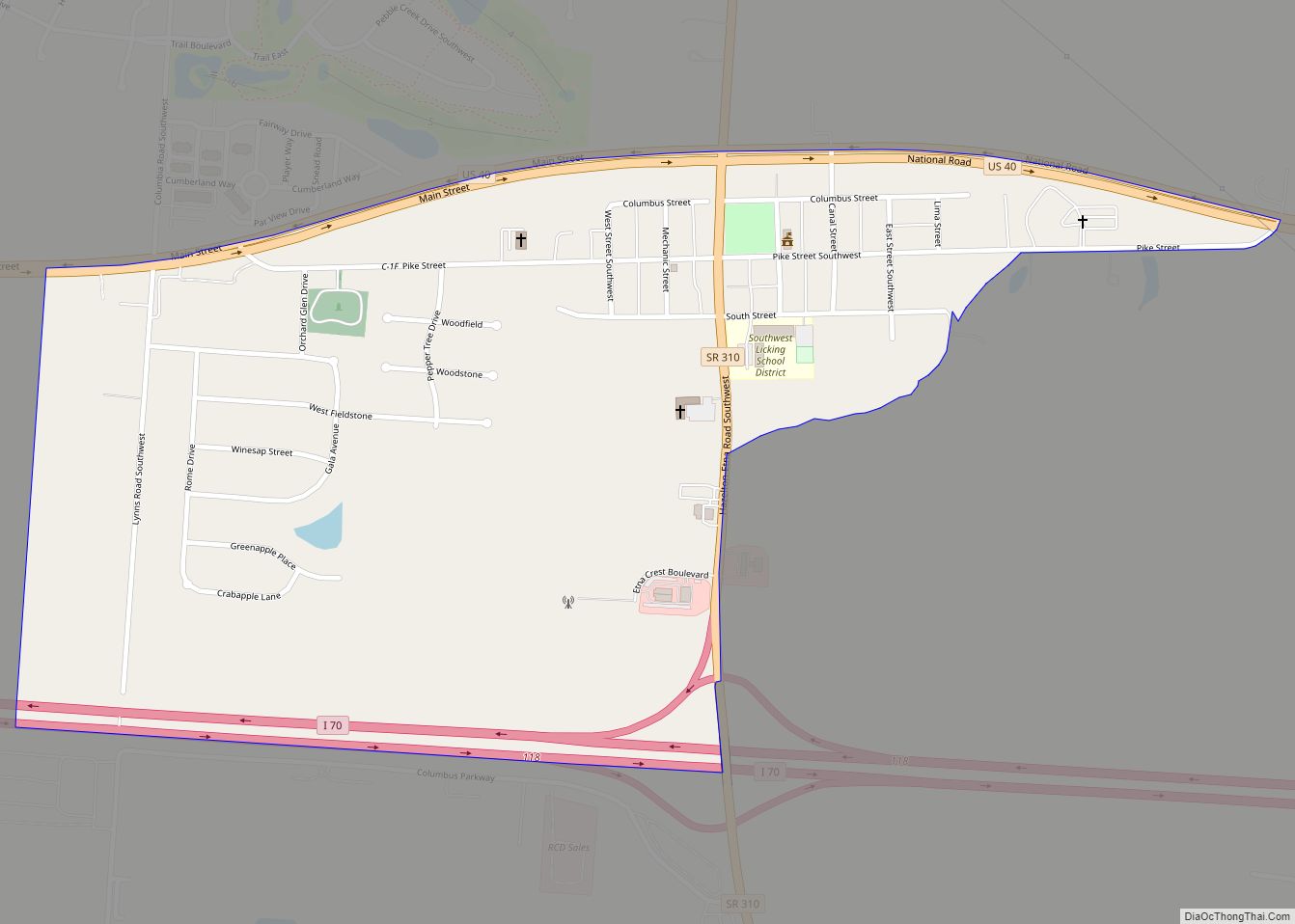
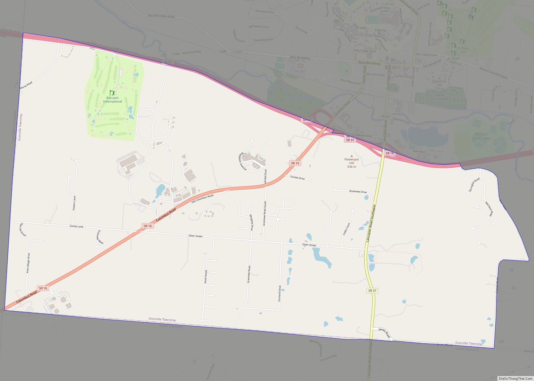
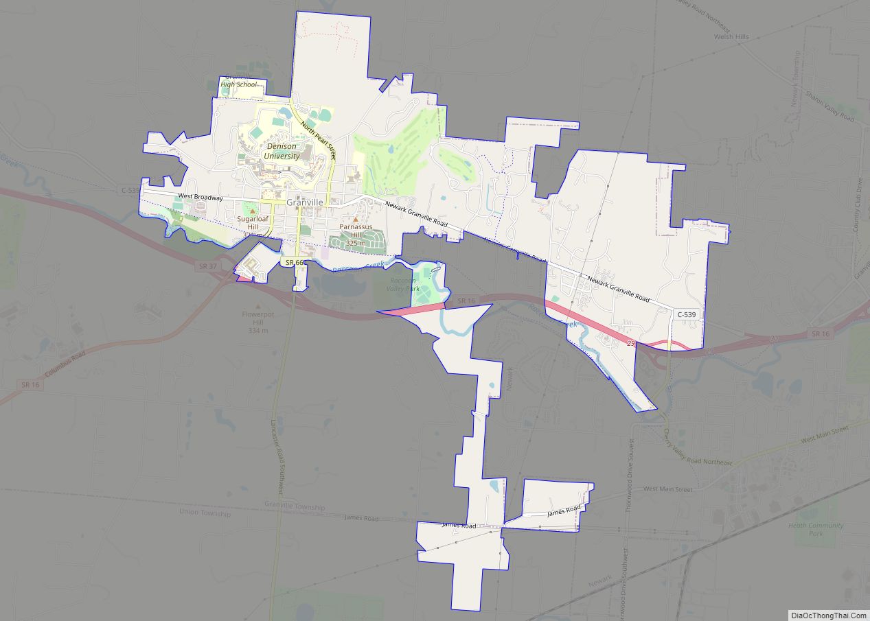
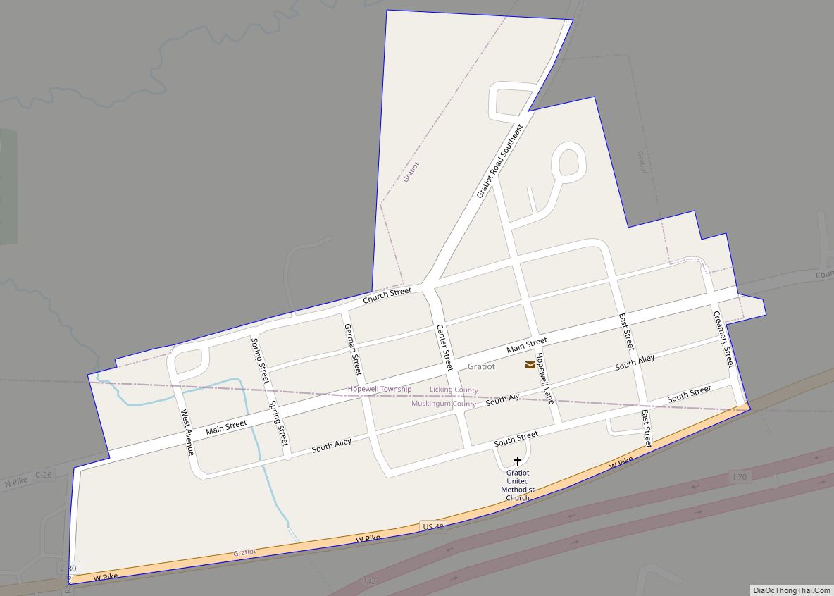
Online Interactive Map
Click on ![]() to view map in "full screen" mode.
to view map in "full screen" mode.
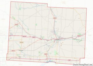
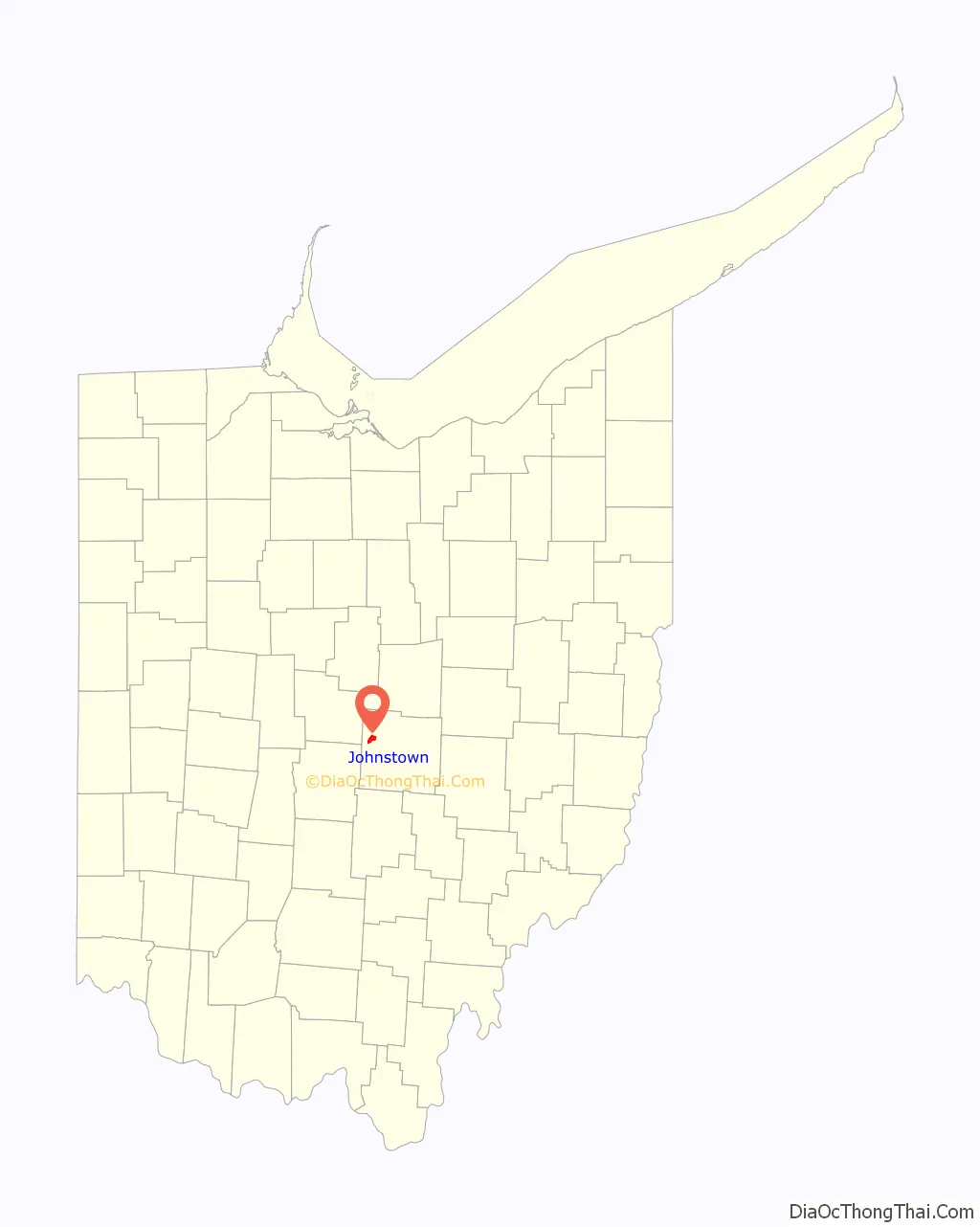
Johnstown location map. Where is Johnstown village?

History
Johnstown is part of a four thousand acre (16 km) tract of land deeded to John Brown, a revolutionary soldier, by President John Adams for military services in 1800. Brown sold the property in 1810 for $2.50 per acre to Dr. Oliver Bigelow. Dr. Bigelow laid out and incorporated the village of Johnstown, donating the streets, alleys and the town square. In 1926 a nearly complete skeleton of a mastodon was found by a farmer named James Bailey, and subsequently sold to the Cleveland Museum of Natural History.
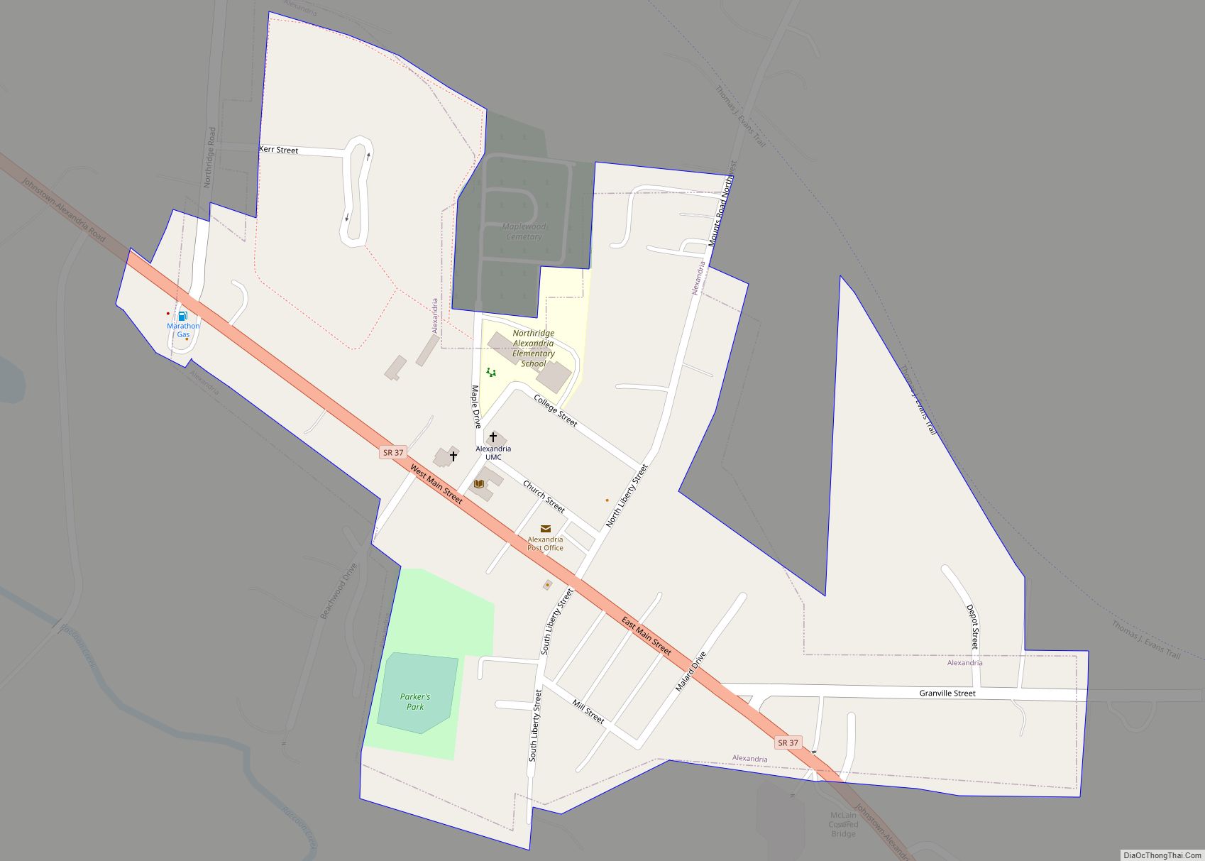
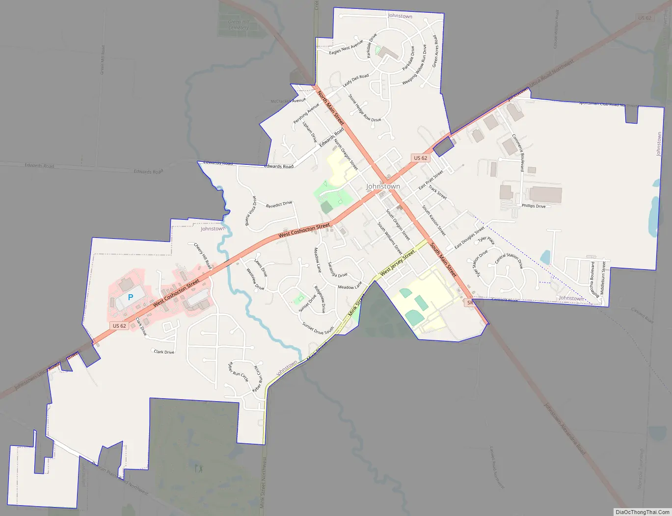
Johnstown Road Map
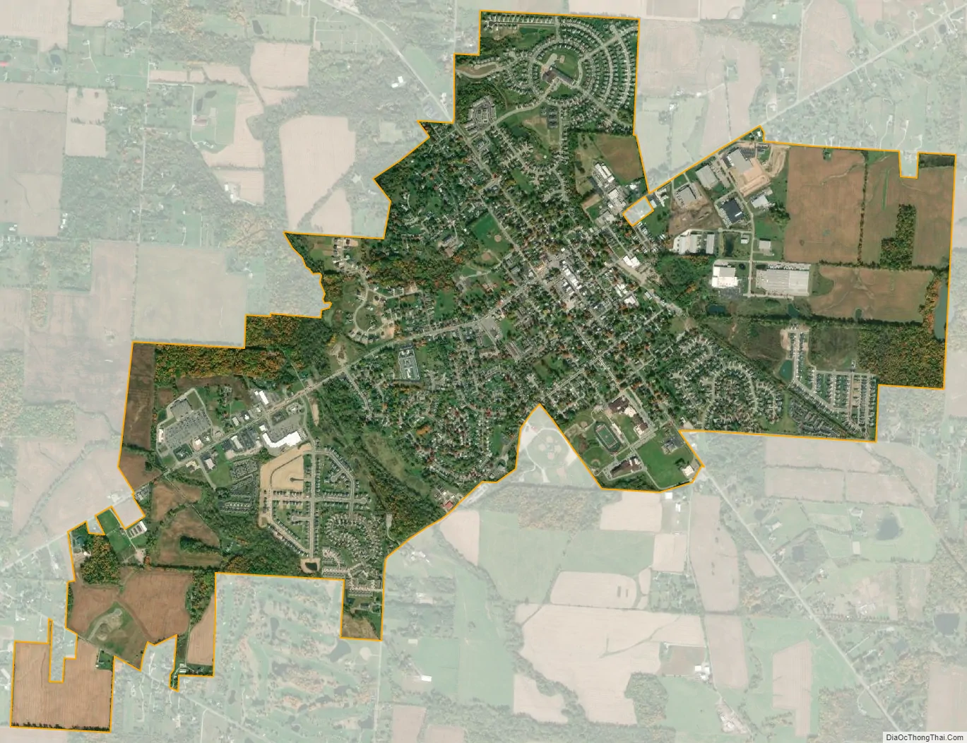
Johnstown city Satellite Map
Geography
Johnstown is located at 40°8′57″N 82°41′12″W / 40.14917°N 82.68667°W / 40.14917; -82.68667 (40.149075, −82.686710).
According to the United States Census Bureau, the city has a total area of 2.91 square miles (7.54 km), of which 2.90 square miles (7.51 km) is land and 0.01 square miles (0.03 km) is water.
See also
Map of Ohio State and its subdivision:- Adams
- Allen
- Ashland
- Ashtabula
- Athens
- Auglaize
- Belmont
- Brown
- Butler
- Carroll
- Champaign
- Clark
- Clermont
- Clinton
- Columbiana
- Coshocton
- Crawford
- Cuyahoga
- Darke
- Defiance
- Delaware
- Erie
- Fairfield
- Fayette
- Franklin
- Fulton
- Gallia
- Geauga
- Greene
- Guernsey
- Hamilton
- Hancock
- Hardin
- Harrison
- Henry
- Highland
- Hocking
- Holmes
- Huron
- Jackson
- Jefferson
- Knox
- Lake
- Lake Erie
- Lawrence
- Licking
- Logan
- Lorain
- Lucas
- Madison
- Mahoning
- Marion
- Medina
- Meigs
- Mercer
- Miami
- Monroe
- Montgomery
- Morgan
- Morrow
- Muskingum
- Noble
- Ottawa
- Paulding
- Perry
- Pickaway
- Pike
- Portage
- Preble
- Putnam
- Richland
- Ross
- Sandusky
- Scioto
- Seneca
- Shelby
- Stark
- Summit
- Trumbull
- Tuscarawas
- Union
- Van Wert
- Vinton
- Warren
- Washington
- Wayne
- Williams
- Wood
- Wyandot
- Alabama
- Alaska
- Arizona
- Arkansas
- California
- Colorado
- Connecticut
- Delaware
- District of Columbia
- Florida
- Georgia
- Hawaii
- Idaho
- Illinois
- Indiana
- Iowa
- Kansas
- Kentucky
- Louisiana
- Maine
- Maryland
- Massachusetts
- Michigan
- Minnesota
- Mississippi
- Missouri
- Montana
- Nebraska
- Nevada
- New Hampshire
- New Jersey
- New Mexico
- New York
- North Carolina
- North Dakota
- Ohio
- Oklahoma
- Oregon
- Pennsylvania
- Rhode Island
- South Carolina
- South Dakota
- Tennessee
- Texas
- Utah
- Vermont
- Virginia
- Washington
- West Virginia
- Wisconsin
- Wyoming