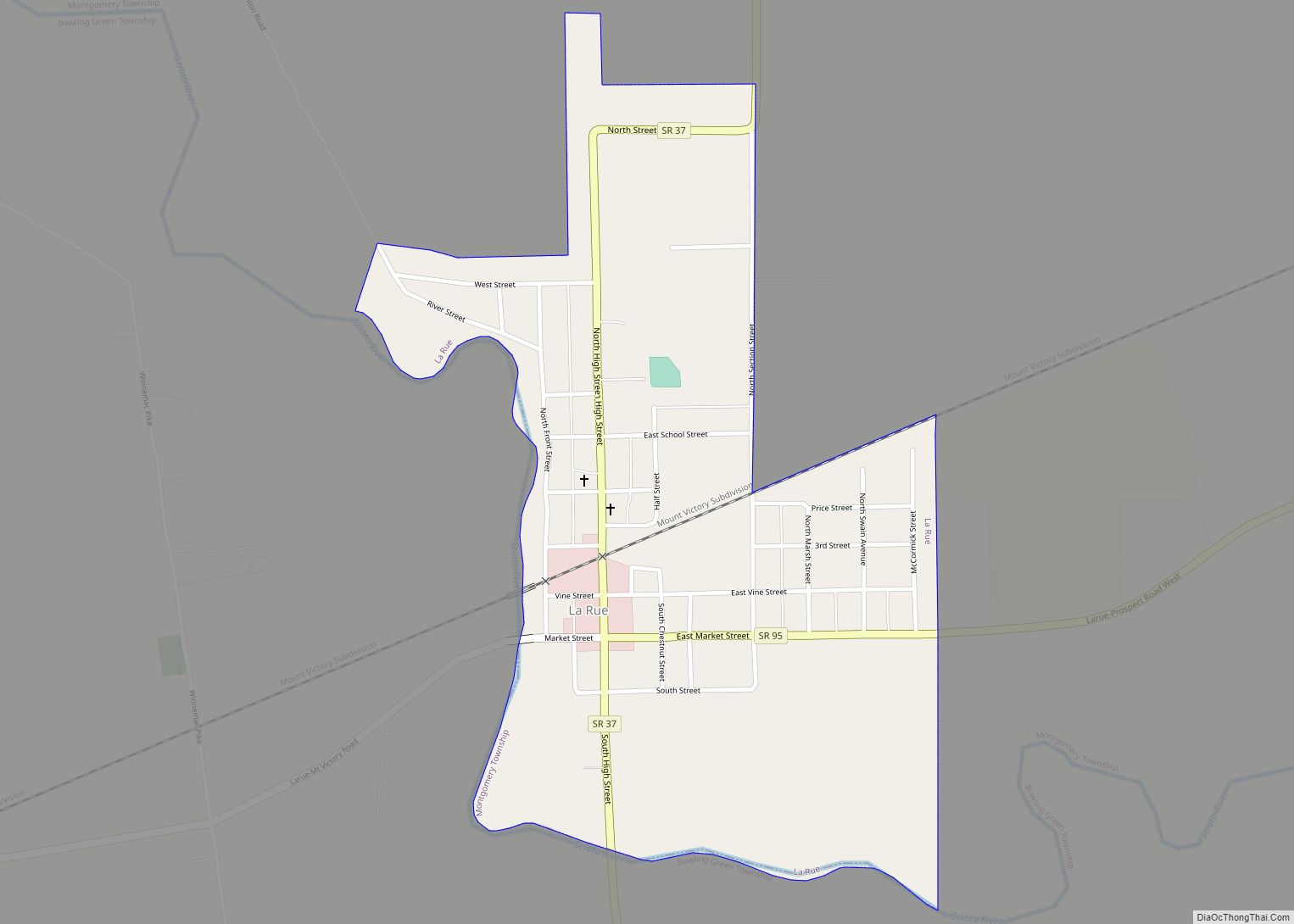
LaRue is a village in Marion County, Ohio, United States. The population was 747 at the 2010 census. The village is served by Elgin Local School District. LaRue has a public library, a branch of Marion Public Library.
| Name: | La Rue village |
|---|---|
| LSAD Code: | 47 |
| LSAD Description: | village (suffix) |
| State: | Ohio |
| County: | Marion County |
| Elevation: | 925 ft (282 m) |
| Total Area: | 0.48 sq mi (1.24 km²) |
| Land Area: | 0.48 sq mi (1.24 km²) |
| Water Area: | 0.00 sq mi (0.00 km²) |
| Total Population: | 676 |
| Population Density: | 1,414.23/sq mi (545.99/km²) |
| ZIP code: | 43332 |
| Area code: | 740 |
| FIPS code: | 3941902 |
| GNISfeature ID: | 1058187 |
| Website: | www.laruevillage.com |
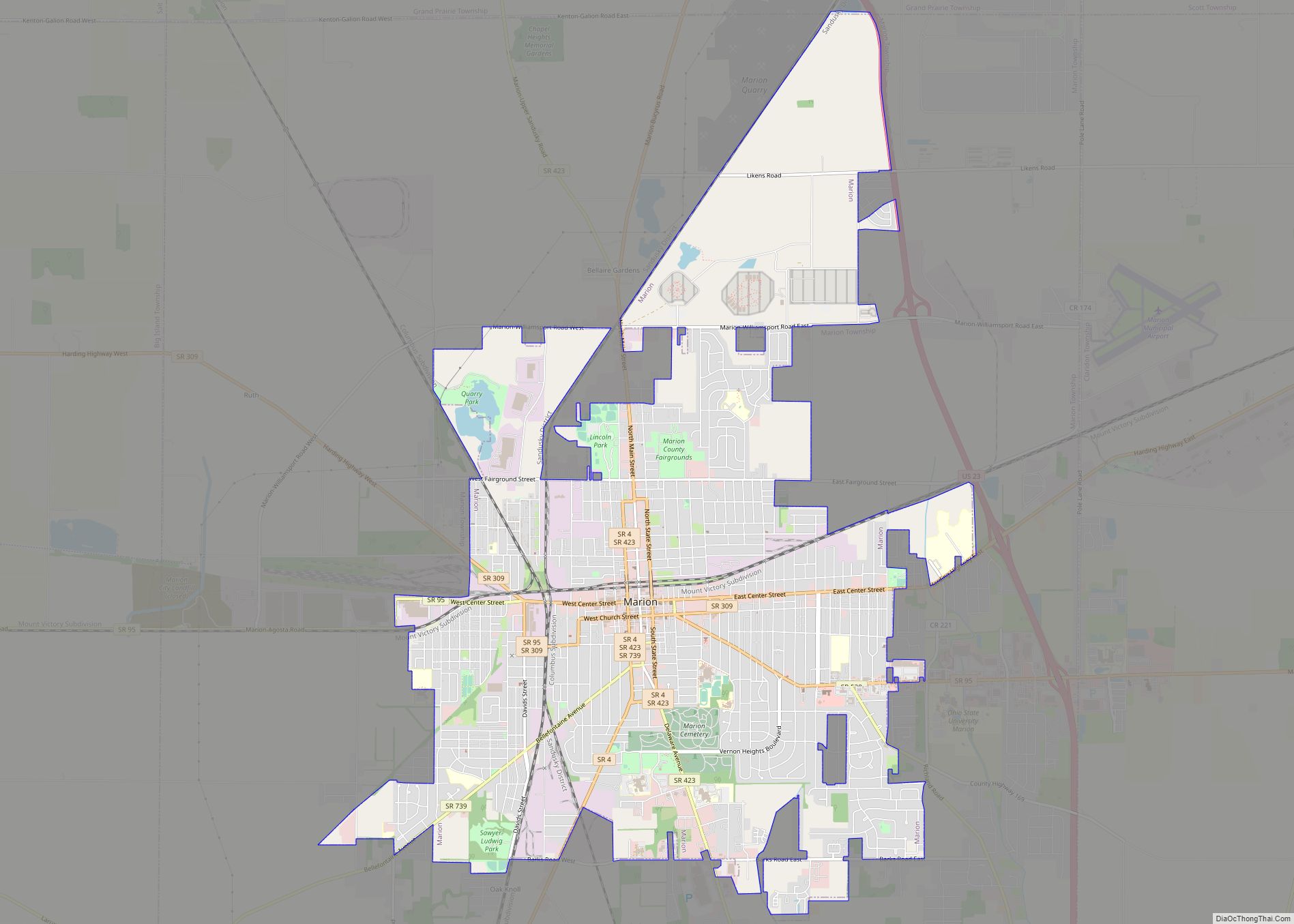
Online Interactive Map
Click on ![]() to view map in "full screen" mode.
to view map in "full screen" mode.
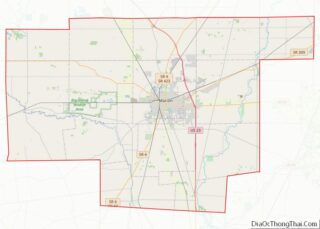
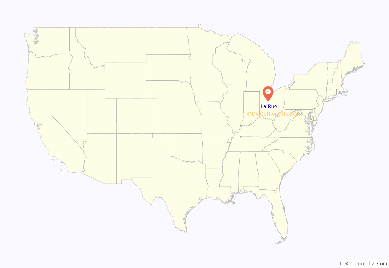
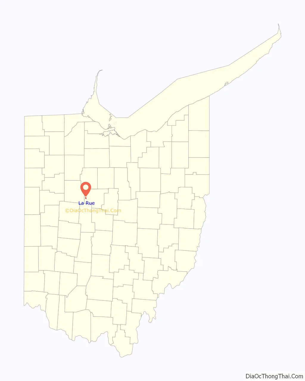
La Rue location map. Where is La Rue village?
History
In the early 19th-century, prior to their removal in the 1830s, there was a Wyandot village at this location.
LaRue had its start in the early 1850s when the railroad was extended to that point. A post office has been in operation at LaRue since 1853.
LaRue was home to Walter Lingo, owner of the Oorang Dog Kennels, which bred the nationally recognized King Oorang Airedale Terriers. Lingo also owned the National Football League’s Oorang Indians, which played in 1922 and 1923. The team consisted of Native American players and was led by Jim Thorpe. They were strictly a traveling team; of the 20 games they played over two seasons, only one was played at “home” in nearby Marion. LaRue remains the smallest town ever to have been the home of an NFL franchise, or probably any professional team in any league in the United States.
La Rue Road Map
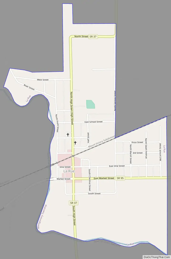
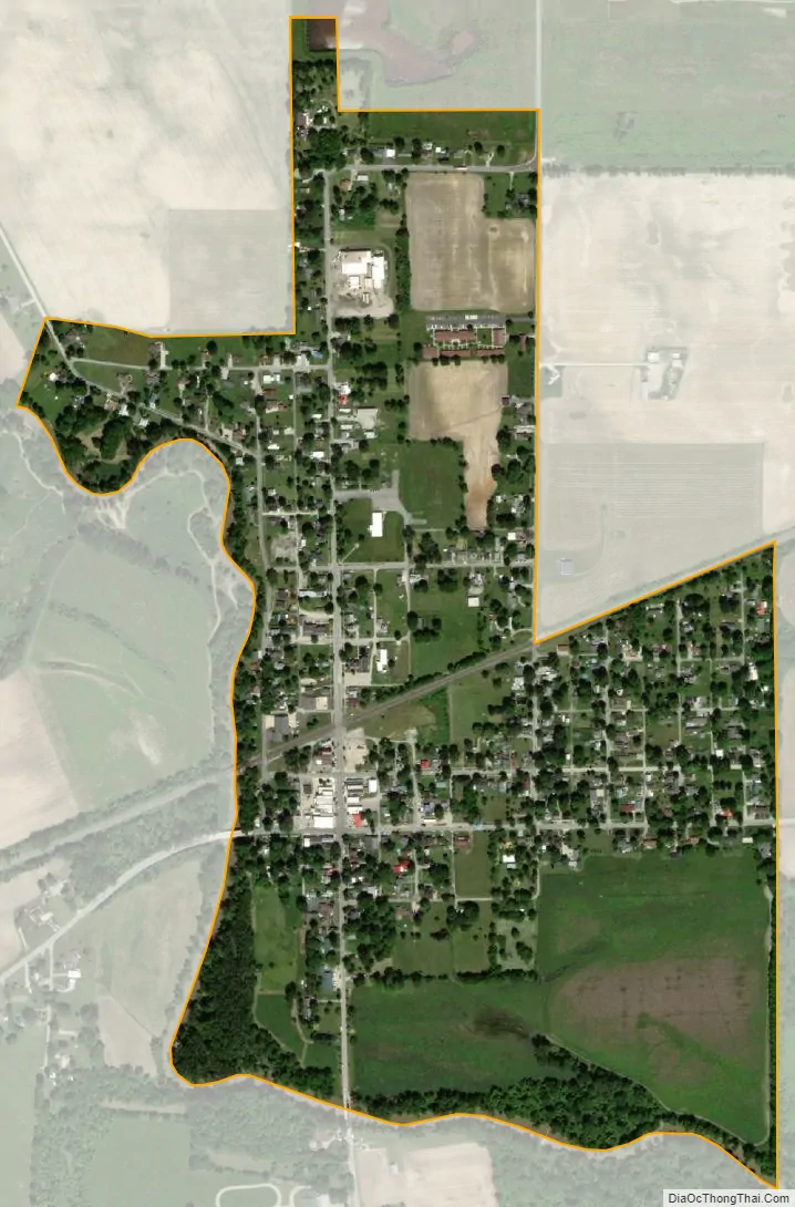
La Rue city Satellite Map
Geography
LaRue is located at 40°34′38″N 83°22′57″W / 40.57722°N 83.38250°W / 40.57722; -83.38250 (40.577262, −83.382396).
According to the United States Census Bureau, the village has a total area of 0.48 square miles (1.24 km), all land.
See also
Map of Ohio State and its subdivision:- Adams
- Allen
- Ashland
- Ashtabula
- Athens
- Auglaize
- Belmont
- Brown
- Butler
- Carroll
- Champaign
- Clark
- Clermont
- Clinton
- Columbiana
- Coshocton
- Crawford
- Cuyahoga
- Darke
- Defiance
- Delaware
- Erie
- Fairfield
- Fayette
- Franklin
- Fulton
- Gallia
- Geauga
- Greene
- Guernsey
- Hamilton
- Hancock
- Hardin
- Harrison
- Henry
- Highland
- Hocking
- Holmes
- Huron
- Jackson
- Jefferson
- Knox
- Lake
- Lake Erie
- Lawrence
- Licking
- Logan
- Lorain
- Lucas
- Madison
- Mahoning
- Marion
- Medina
- Meigs
- Mercer
- Miami
- Monroe
- Montgomery
- Morgan
- Morrow
- Muskingum
- Noble
- Ottawa
- Paulding
- Perry
- Pickaway
- Pike
- Portage
- Preble
- Putnam
- Richland
- Ross
- Sandusky
- Scioto
- Seneca
- Shelby
- Stark
- Summit
- Trumbull
- Tuscarawas
- Union
- Van Wert
- Vinton
- Warren
- Washington
- Wayne
- Williams
- Wood
- Wyandot
- Alabama
- Alaska
- Arizona
- Arkansas
- California
- Colorado
- Connecticut
- Delaware
- District of Columbia
- Florida
- Georgia
- Hawaii
- Idaho
- Illinois
- Indiana
- Iowa
- Kansas
- Kentucky
- Louisiana
- Maine
- Maryland
- Massachusetts
- Michigan
- Minnesota
- Mississippi
- Missouri
- Montana
- Nebraska
- Nevada
- New Hampshire
- New Jersey
- New Mexico
- New York
- North Carolina
- North Dakota
- Ohio
- Oklahoma
- Oregon
- Pennsylvania
- Rhode Island
- South Carolina
- South Dakota
- Tennessee
- Texas
- Utah
- Vermont
- Virginia
- Washington
- West Virginia
- Wisconsin
- Wyoming