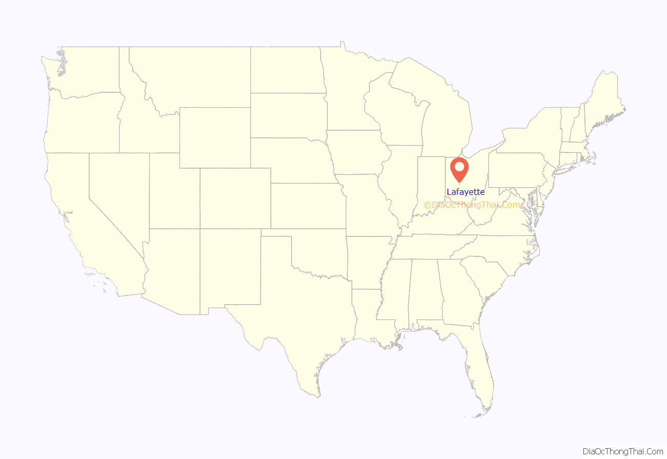
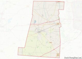
Lafayette is a census-designated place in the center of Deer Creek Township, Madison County, Ohio, United States. It is located at 39°56′15″N 83°24′24″W / 39.93750°N 83.40667°W / 39.93750; -83.40667Coordinates: 39°56′15″N 83°24′24″W / 39.93750°N 83.40667°W / 39.93750; -83.40667, along U.S. Route 40, just west of its intersection with U.S. Route 42.
| Name: | Lafayette CDP |
|---|---|
| LSAD Code: | 57 |
| LSAD Description: | CDP (suffix) |
| State: | Ohio |
| County: | Madison County |
| Elevation: | 1,010 ft (308 m) |
| ZIP code: | 43140 |
| Area code: | 740 |
| FIPS code: | 3941146 |
| GNISfeature ID: | 1064959 |
Online Interactive Map
Click on ![]() to view map in "full screen" mode.
to view map in "full screen" mode.
Lafayette location map. Where is Lafayette CDP?
History
Lawrenceville
Lawrenceville (also known regionally as “Limerick”) was laid out in 1816, by Thomas Gwynne, on land he owned 1.5 miles (2.4 km) northwest of where Lafayette is located today. In 1816, Angus Ross opened Lawrenceville’s first and only tavern. The Lawrenceville Post Office was established on July 2, 1825. In 1836-7, the National Road was completed through the township, missing Lawrenceville, and the town immediately began to die. By 1915, the original community was nothing more than pasture land, with no signs left to indicate there was ever a community.
Lafayette
Lafayette was laid out on October 1, 1834, by William Minter, and named in honor of Gilbert du Motier, marquis de Lafayette. On December 31, 1836, the Lawenceville Post Office was moved to Lafayette, and renamed Lafayette Post Office, with John Minter as the first postmaster of the new branch. As of 1875, the community contained one drug store, one dry goods and grocery store, and one blacksmith shop. The post office was discontinued on December 31, 1905, with mail service going through the London branch. As of 1915, the community contained three general stores and one blacksmith shop.
Lafayette is also home to the Red Brick Tavern, one of 11 properties on the National Register of Historic Places listings in Madison County, Ohio.
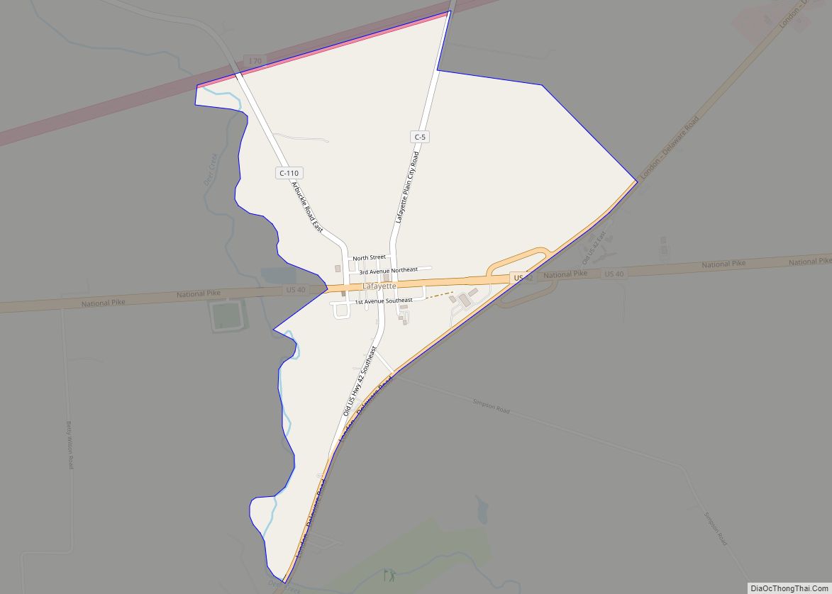
Lafayette Road Map
Lafayette city Satellite Map
See also
Map of Ohio State and its subdivision:- Adams
- Allen
- Ashland
- Ashtabula
- Athens
- Auglaize
- Belmont
- Brown
- Butler
- Carroll
- Champaign
- Clark
- Clermont
- Clinton
- Columbiana
- Coshocton
- Crawford
- Cuyahoga
- Darke
- Defiance
- Delaware
- Erie
- Fairfield
- Fayette
- Franklin
- Fulton
- Gallia
- Geauga
- Greene
- Guernsey
- Hamilton
- Hancock
- Hardin
- Harrison
- Henry
- Highland
- Hocking
- Holmes
- Huron
- Jackson
- Jefferson
- Knox
- Lake
- Lake Erie
- Lawrence
- Licking
- Logan
- Lorain
- Lucas
- Madison
- Mahoning
- Marion
- Medina
- Meigs
- Mercer
- Miami
- Monroe
- Montgomery
- Morgan
- Morrow
- Muskingum
- Noble
- Ottawa
- Paulding
- Perry
- Pickaway
- Pike
- Portage
- Preble
- Putnam
- Richland
- Ross
- Sandusky
- Scioto
- Seneca
- Shelby
- Stark
- Summit
- Trumbull
- Tuscarawas
- Union
- Van Wert
- Vinton
- Warren
- Washington
- Wayne
- Williams
- Wood
- Wyandot
- Alabama
- Alaska
- Arizona
- Arkansas
- California
- Colorado
- Connecticut
- Delaware
- District of Columbia
- Florida
- Georgia
- Hawaii
- Idaho
- Illinois
- Indiana
- Iowa
- Kansas
- Kentucky
- Louisiana
- Maine
- Maryland
- Massachusetts
- Michigan
- Minnesota
- Mississippi
- Missouri
- Montana
- Nebraska
- Nevada
- New Hampshire
- New Jersey
- New Mexico
- New York
- North Carolina
- North Dakota
- Ohio
- Oklahoma
- Oregon
- Pennsylvania
- Rhode Island
- South Carolina
- South Dakota
- Tennessee
- Texas
- Utah
- Vermont
- Virginia
- Washington
- West Virginia
- Wisconsin
- Wyoming
