London is a city in and the county seat of Madison County, Ohio, United States. Located about 25 miles (40 km) southwest of the Ohio capital of Columbus, London was established in 1811 to serve as the county seat. The population was 10,279 at the 2020 census. The ZIP code is 43140.
| Name: | London city |
|---|---|
| LSAD Code: | 25 |
| LSAD Description: | city (suffix) |
| State: | Ohio |
| County: | Madison County |
| Elevation: | 1,053 ft (321 m) |
| Total Area: | 8.41 sq mi (21.77 km²) |
| Land Area: | 8.40 sq mi (21.75 km²) |
| Water Area: | 0.01 sq mi (0.03 km²) |
| Total Population: | 10,279 |
| Population Density: | 1,224.13/sq mi (472.65/km²) |
| ZIP code: | 43140 |
| Area code: | 740 |
| FIPS code: | 3944674 |
| GNISfeature ID: | 1061440 |
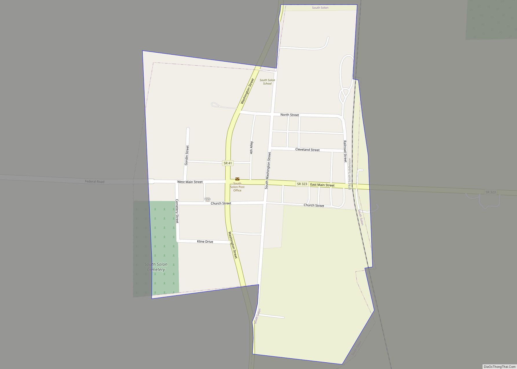
Online Interactive Map
Click on ![]() to view map in "full screen" mode.
to view map in "full screen" mode.
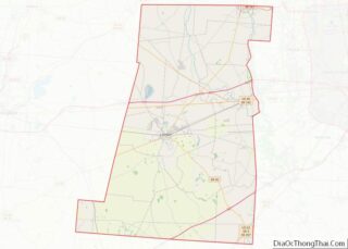
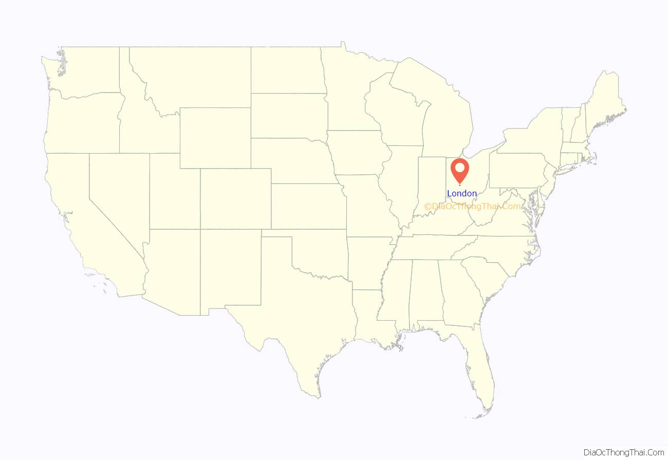
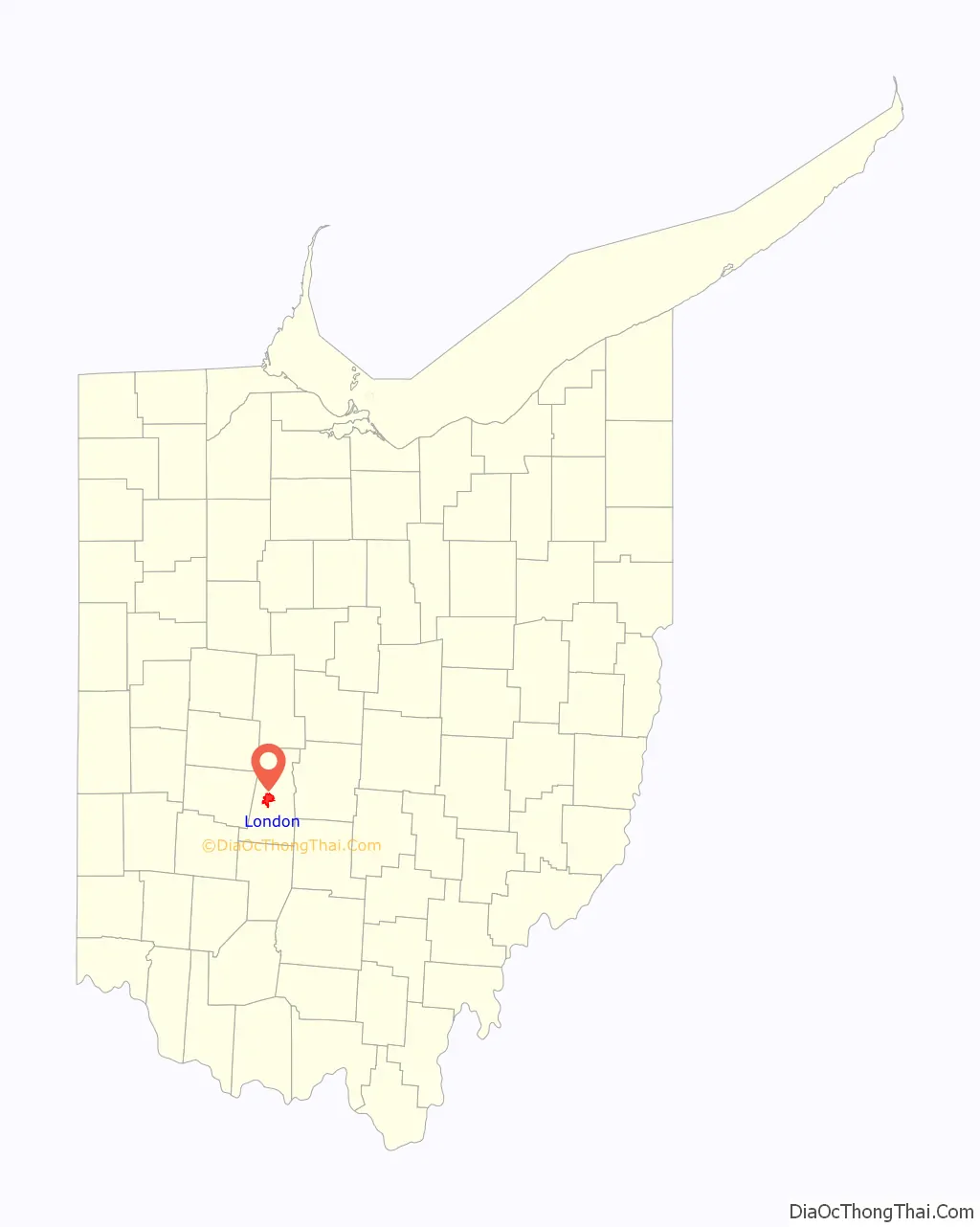
London location map. Where is London city?
History
Soon after the village was platted in the early 1810s, a Methodist church was founded in the community. Today known as First United Methodist Church, this congregation built a small log church building in 1820; it was London’s first church. In the early 1900s, the church added facilities for the storage of human milk to sustain the orphanage it then operated.
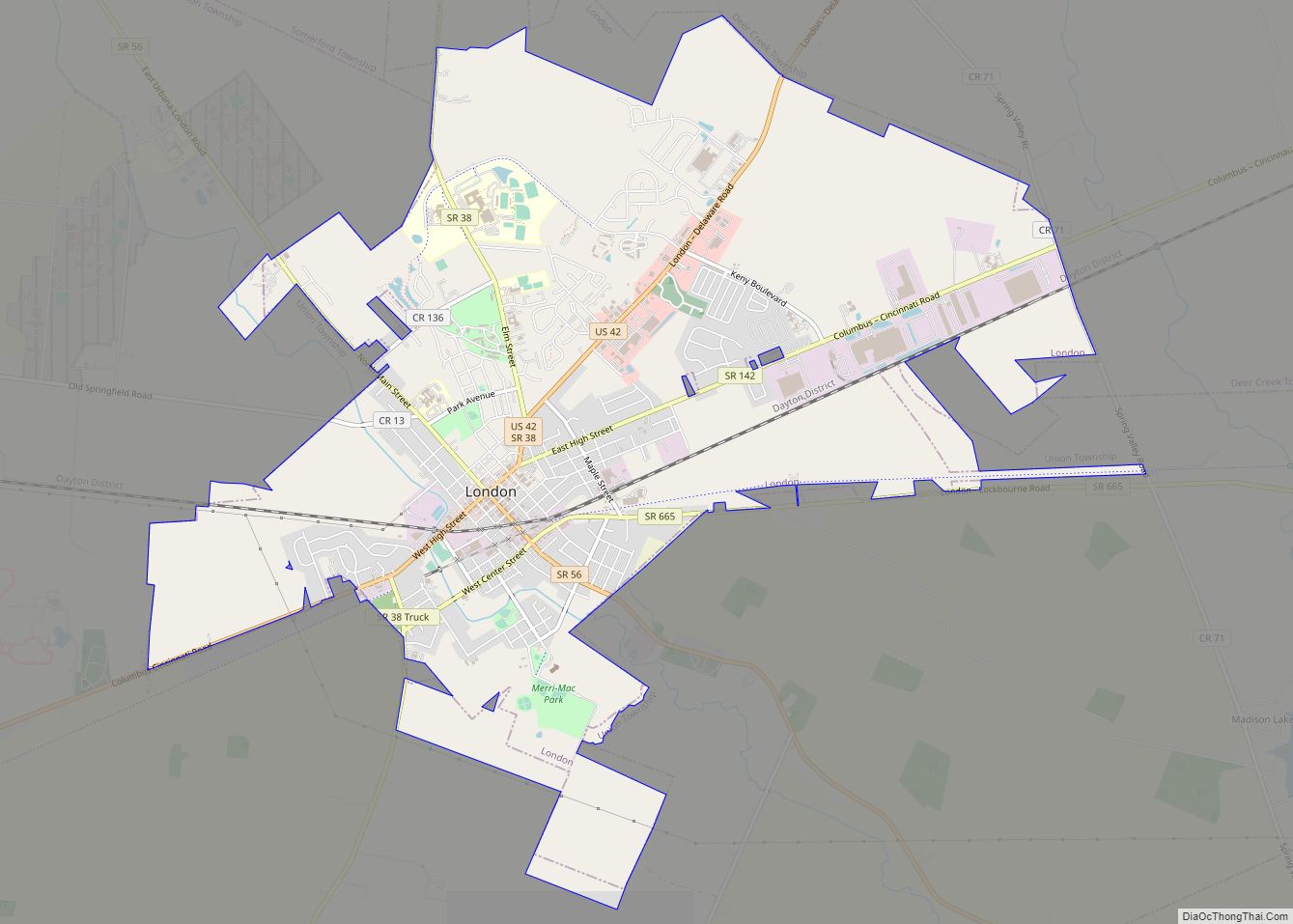
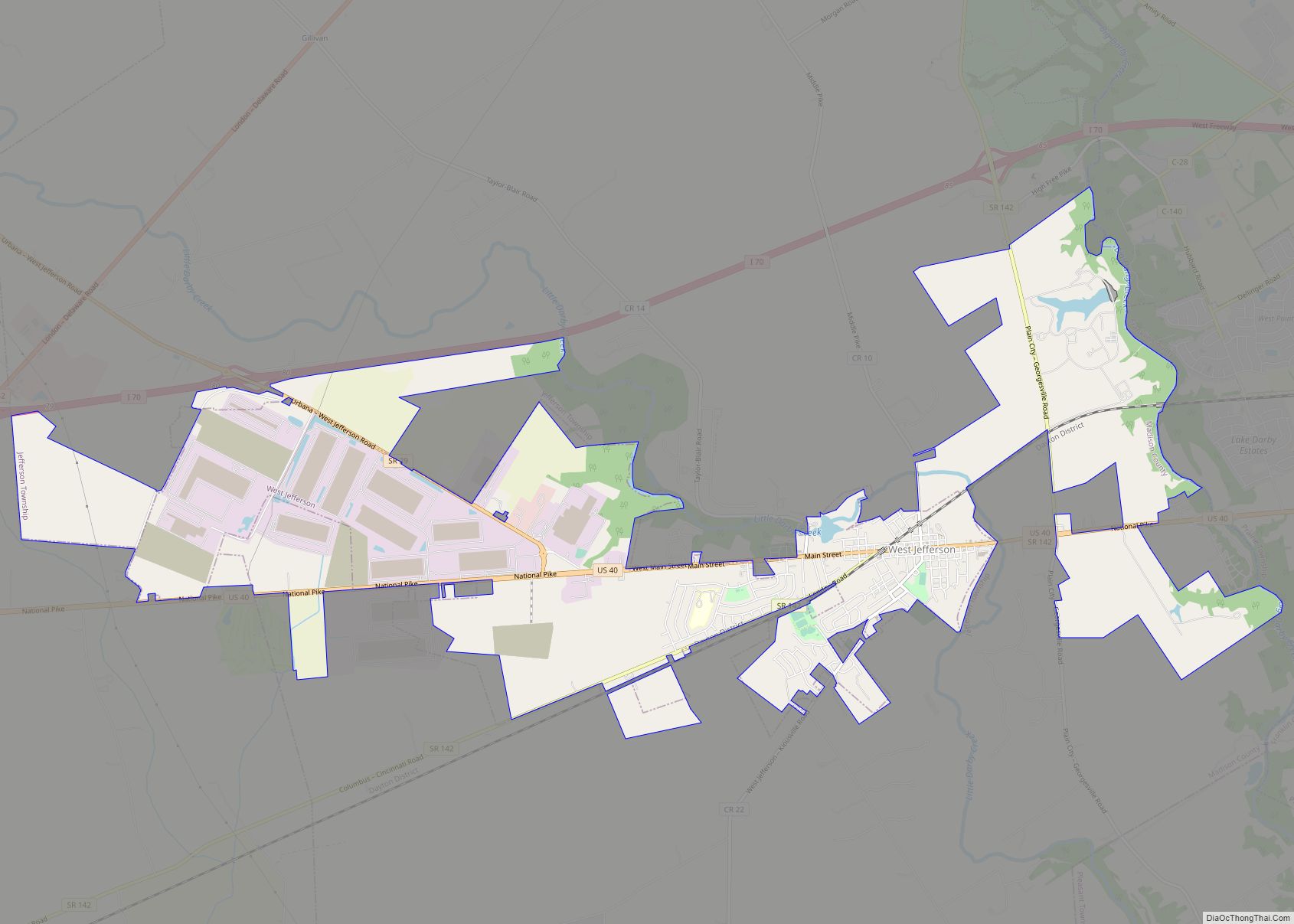
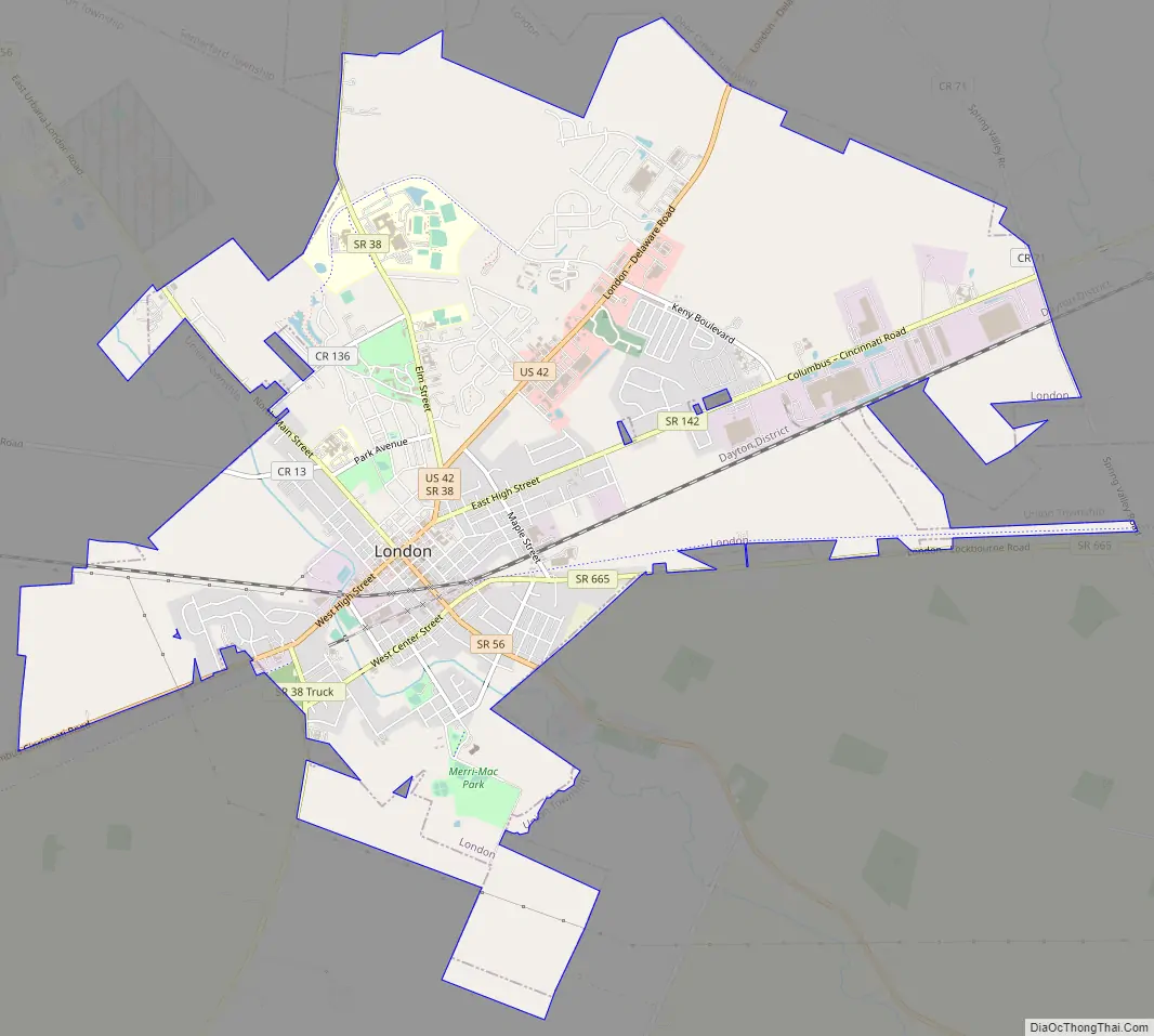
London Road Map
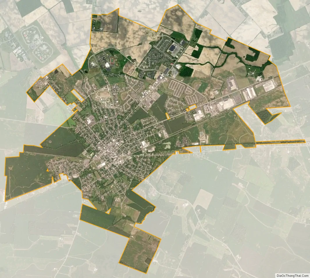
London city Satellite Map
Geography
According to the United States Census Bureau, the city has a total area of 8.45 square miles (21.89 km), all land.
See also
Map of Ohio State and its subdivision:- Adams
- Allen
- Ashland
- Ashtabula
- Athens
- Auglaize
- Belmont
- Brown
- Butler
- Carroll
- Champaign
- Clark
- Clermont
- Clinton
- Columbiana
- Coshocton
- Crawford
- Cuyahoga
- Darke
- Defiance
- Delaware
- Erie
- Fairfield
- Fayette
- Franklin
- Fulton
- Gallia
- Geauga
- Greene
- Guernsey
- Hamilton
- Hancock
- Hardin
- Harrison
- Henry
- Highland
- Hocking
- Holmes
- Huron
- Jackson
- Jefferson
- Knox
- Lake
- Lake Erie
- Lawrence
- Licking
- Logan
- Lorain
- Lucas
- Madison
- Mahoning
- Marion
- Medina
- Meigs
- Mercer
- Miami
- Monroe
- Montgomery
- Morgan
- Morrow
- Muskingum
- Noble
- Ottawa
- Paulding
- Perry
- Pickaway
- Pike
- Portage
- Preble
- Putnam
- Richland
- Ross
- Sandusky
- Scioto
- Seneca
- Shelby
- Stark
- Summit
- Trumbull
- Tuscarawas
- Union
- Van Wert
- Vinton
- Warren
- Washington
- Wayne
- Williams
- Wood
- Wyandot
- Alabama
- Alaska
- Arizona
- Arkansas
- California
- Colorado
- Connecticut
- Delaware
- District of Columbia
- Florida
- Georgia
- Hawaii
- Idaho
- Illinois
- Indiana
- Iowa
- Kansas
- Kentucky
- Louisiana
- Maine
- Maryland
- Massachusetts
- Michigan
- Minnesota
- Mississippi
- Missouri
- Montana
- Nebraska
- Nevada
- New Hampshire
- New Jersey
- New Mexico
- New York
- North Carolina
- North Dakota
- Ohio
- Oklahoma
- Oregon
- Pennsylvania
- Rhode Island
- South Carolina
- South Dakota
- Tennessee
- Texas
- Utah
- Vermont
- Virginia
- Washington
- West Virginia
- Wisconsin
- Wyoming