Lakeside is a private community and census-designated place in Danbury Township, Ottawa County, Ohio, United States, on the shores of Lake Erie. It was formed in 1873 by members of the Methodist Church and remains a church-affiliated vacation resort and United Methodist Annual Conference site. It is one of only a few continuously operating Independent Chautauquas that persist in the 21st century. Located just west of the village of Marblehead, the community is approximately one square mile in size. The entire community is listed on the National Register of Historic Places as the Lakeside Historic District.
As an unincorporated community, Lakeside is governed by the Lakeside Association, a company whose CEO is the de facto leader of the community. Its current CEO is Kip Greenhill.
| Name: | Lakeside CDP |
|---|---|
| LSAD Code: | 57 |
| LSAD Description: | CDP (suffix) |
| State: | Ohio |
| County: | Ottawa County |
| Total Area: | 0.69 sq mi (1.78 km²) |
| Land Area: | 0.69 sq mi (1.78 km²) |
| Water Area: | 0.00 sq mi (0.00 km²) |
| Total Population: | 668 |
| Population Density: | 970.93/sq mi (374.83/km²) |
| ZIP code: | 43440 |
| FIPS code: | 3941552 |
| Website: | www.lakesideohio.com |
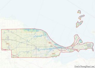
Online Interactive Map
Click on ![]() to view map in "full screen" mode.
to view map in "full screen" mode.
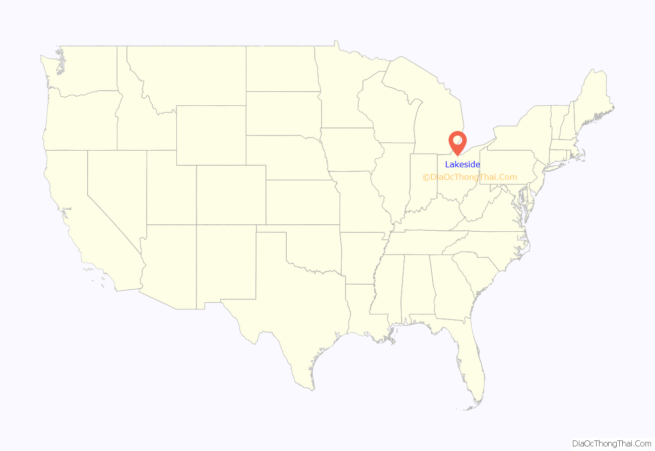
Lakeside location map. Where is Lakeside CDP?
History
Lakeside was established under the jurisdiction of the Central Ohio Conference of the UMC in August 1873. It was first founded as a tented revivalist camp, where it served as a hub for Methodist teachings. Meanwhile, the Chautauqua movement began to gain popularity. Lakeside soon thereafter became a Chautauqua, allowing its popularity to pick up over time and gain popularity with other denominations. The first permanent building was erected somewhere near the Hoover Auditorium, with the first residential cottages being built at the shores of Lake Erie. Despite this increase in popularity and permanent habitation, the bulk of services had yet to be provided until 1875, when the first part of Hotel Lakeside was built.
Residential land and usage
The first residential buildings were cottages, which were sold out on plots of land with renewable 99 year leases. Over the years, residents built cottages and houses on their plots. Most cottages are in the Victorian style, although different styles are present throughout. Restaurants and shops also opened around the downtown park of Lakeside. The Lakeside Association eventually purchased additional land on the eastern side, enabling the community to grow. Recreation facilities, meeting halls, places of worship, and parks have been added over the years. The Lakeside Association is responsible for the upkeep of all roads and public services within Lakeside. Lakeside has had its own symphony orchestra since its founding in 1963 with its current conductor, Daniel Meyer. One of its most famous activities is shuffleboard, with its courts hosting lots of national tournaments throughout its history.
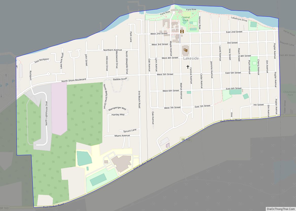
Lakeside Road Map
Lakeside city Satellite Map
See also
Map of Ohio State and its subdivision:- Adams
- Allen
- Ashland
- Ashtabula
- Athens
- Auglaize
- Belmont
- Brown
- Butler
- Carroll
- Champaign
- Clark
- Clermont
- Clinton
- Columbiana
- Coshocton
- Crawford
- Cuyahoga
- Darke
- Defiance
- Delaware
- Erie
- Fairfield
- Fayette
- Franklin
- Fulton
- Gallia
- Geauga
- Greene
- Guernsey
- Hamilton
- Hancock
- Hardin
- Harrison
- Henry
- Highland
- Hocking
- Holmes
- Huron
- Jackson
- Jefferson
- Knox
- Lake
- Lake Erie
- Lawrence
- Licking
- Logan
- Lorain
- Lucas
- Madison
- Mahoning
- Marion
- Medina
- Meigs
- Mercer
- Miami
- Monroe
- Montgomery
- Morgan
- Morrow
- Muskingum
- Noble
- Ottawa
- Paulding
- Perry
- Pickaway
- Pike
- Portage
- Preble
- Putnam
- Richland
- Ross
- Sandusky
- Scioto
- Seneca
- Shelby
- Stark
- Summit
- Trumbull
- Tuscarawas
- Union
- Van Wert
- Vinton
- Warren
- Washington
- Wayne
- Williams
- Wood
- Wyandot
- Alabama
- Alaska
- Arizona
- Arkansas
- California
- Colorado
- Connecticut
- Delaware
- District of Columbia
- Florida
- Georgia
- Hawaii
- Idaho
- Illinois
- Indiana
- Iowa
- Kansas
- Kentucky
- Louisiana
- Maine
- Maryland
- Massachusetts
- Michigan
- Minnesota
- Mississippi
- Missouri
- Montana
- Nebraska
- Nevada
- New Hampshire
- New Jersey
- New Mexico
- New York
- North Carolina
- North Dakota
- Ohio
- Oklahoma
- Oregon
- Pennsylvania
- Rhode Island
- South Carolina
- South Dakota
- Tennessee
- Texas
- Utah
- Vermont
- Virginia
- Washington
- West Virginia
- Wisconsin
- Wyoming
