Logan is a city in and county seat of Hocking County, Ohio, United States, along the on the Hocking River about 43 miles (69 km) southeast of Columbus. The population was 7,296 at the time of the 2020 census. The current mayor of Logan is Republican Greg Fraunfelter, who began a four-year term in January 2016 and was re-elected in 2019.
| Name: | Logan city |
|---|---|
| LSAD Code: | 25 |
| LSAD Description: | city (suffix) |
| State: | Ohio |
| County: | Hocking County |
| Elevation: | 741 ft (226 m) |
| Total Area: | 4.93 sq mi (12.77 km²) |
| Land Area: | 4.79 sq mi (12.41 km²) |
| Water Area: | 0.14 sq mi (0.36 km²) |
| Total Population: | 7,296 |
| Population Density: | 1,522.86/sq mi (587.96/km²) |
| ZIP code: | 43138 |
| Area code: | 740 |
| FIPS code: | 3944632 |
| GNISfeature ID: | 1042716 |
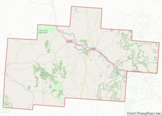
Online Interactive Map
Click on ![]() to view map in "full screen" mode.
to view map in "full screen" mode.
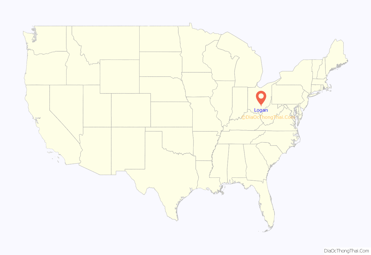
Logan location map. Where is Logan city?
History
Residents named the town in honor of Chief Logan of the Mingo Indian tribe. He and his band lived in this area at the time of European-American settlement. Ohio Governor Thomas Worthington established the community in 1816.
Logan was incorporated as a city in 1839.
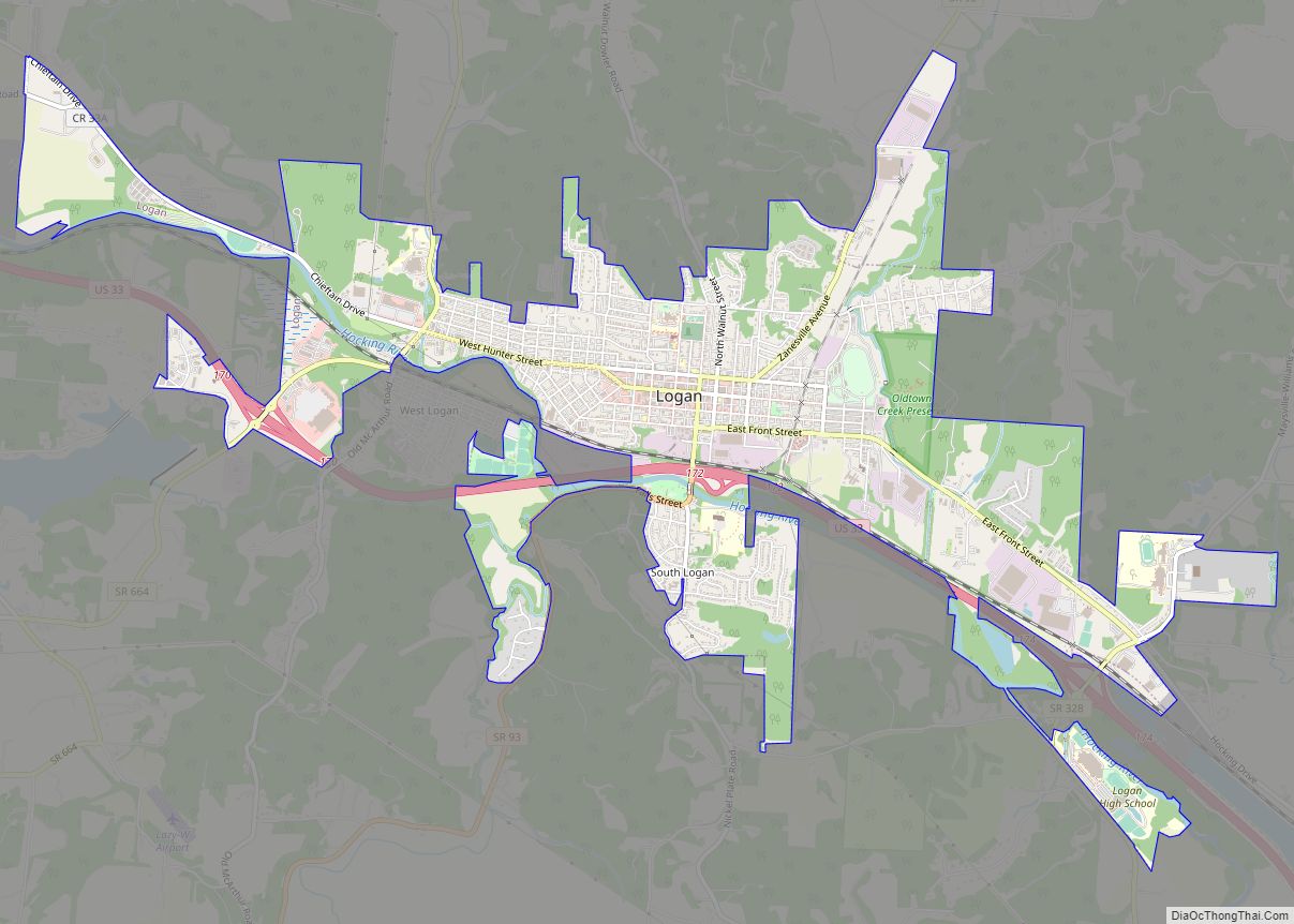
Logan was the first city in the state of Ohio to install a double roundabout. Located at the interchange of Ohio State Route 664 and U.S. Route 33, the roundabouts were officially opened to traffic on December 4, 2013.
Logan Road Map
Logan city Satellite Map
Geography
According to the United States Census Bureau, the city has a total area of 4.93 square miles (12.77 km), of which 4.79 square miles (12.41 km) is land and 0.14 square miles (0.36 km) is water.
See also
Map of Ohio State and its subdivision:- Adams
- Allen
- Ashland
- Ashtabula
- Athens
- Auglaize
- Belmont
- Brown
- Butler
- Carroll
- Champaign
- Clark
- Clermont
- Clinton
- Columbiana
- Coshocton
- Crawford
- Cuyahoga
- Darke
- Defiance
- Delaware
- Erie
- Fairfield
- Fayette
- Franklin
- Fulton
- Gallia
- Geauga
- Greene
- Guernsey
- Hamilton
- Hancock
- Hardin
- Harrison
- Henry
- Highland
- Hocking
- Holmes
- Huron
- Jackson
- Jefferson
- Knox
- Lake
- Lake Erie
- Lawrence
- Licking
- Logan
- Lorain
- Lucas
- Madison
- Mahoning
- Marion
- Medina
- Meigs
- Mercer
- Miami
- Monroe
- Montgomery
- Morgan
- Morrow
- Muskingum
- Noble
- Ottawa
- Paulding
- Perry
- Pickaway
- Pike
- Portage
- Preble
- Putnam
- Richland
- Ross
- Sandusky
- Scioto
- Seneca
- Shelby
- Stark
- Summit
- Trumbull
- Tuscarawas
- Union
- Van Wert
- Vinton
- Warren
- Washington
- Wayne
- Williams
- Wood
- Wyandot
- Alabama
- Alaska
- Arizona
- Arkansas
- California
- Colorado
- Connecticut
- Delaware
- District of Columbia
- Florida
- Georgia
- Hawaii
- Idaho
- Illinois
- Indiana
- Iowa
- Kansas
- Kentucky
- Louisiana
- Maine
- Maryland
- Massachusetts
- Michigan
- Minnesota
- Mississippi
- Missouri
- Montana
- Nebraska
- Nevada
- New Hampshire
- New Jersey
- New Mexico
- New York
- North Carolina
- North Dakota
- Ohio
- Oklahoma
- Oregon
- Pennsylvania
- Rhode Island
- South Carolina
- South Dakota
- Tennessee
- Texas
- Utah
- Vermont
- Virginia
- Washington
- West Virginia
- Wisconsin
- Wyoming
