Loudonville is a village in Ashland and Holmes counties in the U.S. state of Ohio. The population was 2,786 at the 2020 census. Loudonville is nicknamed the “Canoe Capital of Ohio” for the many canoe liveries along the Mohican River. It is also home to Mohican State Park and Mohican-Memorial State Forest and Landoll’s Mohican Castle.
| Name: | Loudonville village |
|---|---|
| LSAD Code: | 47 |
| LSAD Description: | village (suffix) |
| State: | Ohio |
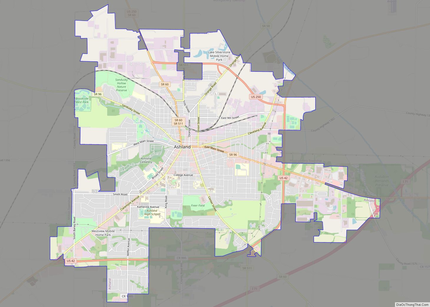
| County: | Ashland County, Holmes County |
| Elevation: | 965 ft (294 m) |
| Total Area: | 2.75 sq mi (7.11 km²) |
| Land Area: | 2.72 sq mi (7.05 km²) |
| Water Area: | 0.02 sq mi (0.06 km²) |
| Total Population: | 2,786 |
| Population Density: | 1,023.51/sq mi (395.23/km²) |
| ZIP code: | 44842 |
| Area code: | 419 |
| FIPS code: | 3945066 |
| GNISfeature ID: | 1061446 |
| Website: | http://www.loudonville-oh.us/ |
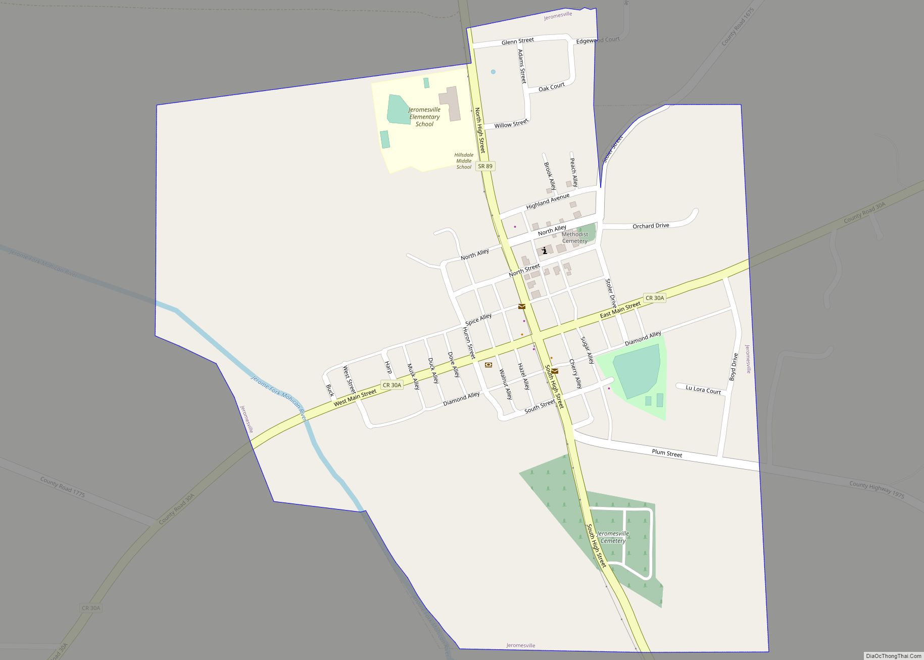
Online Interactive Map
Click on ![]() to view map in "full screen" mode.
to view map in "full screen" mode.
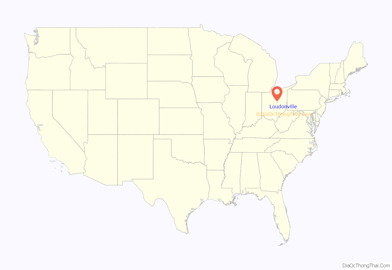
Loudonville location map. Where is Loudonville village?
History
Loudonville was laid out in 1814 by James Louden Priest, and named for him. A post office called Loudonville has been in operation since 1820.
Loudonville was the long-time (1913–96) home of The Flxible Company, a manufacturer of motorcycle sidecars, commercial cars (hearses, ambulances, and flower cars), intercity coaches, and city-transit coaches. During World War II, Flxible interrupted its normal production and built instead a variety of war goods. A part of the former Flxible plant was in use as a parts depot and service point for the Motor Coach Industries until December 5, 2014, when all production was shut down.
The town of Loudonville includes three sites on the National Register of Historic Places. These include the Ohio Theatre, which was erected in 1909 under the name of “City Hall and Opera House”. The theatre had a troubled history, and was almost closed in the 1900s, but three freshmen from the Loudonville High School raised $4,000 in a local talent show. In 2009, the Ohio Theater celebrated its 100th anniversary. The home of Phillip J. Black located at 303 N. Water Street is also listed on the National Register of Historic Places. Built in 1856, it is now home to the Blackfork Inn Bed & Breakfast.
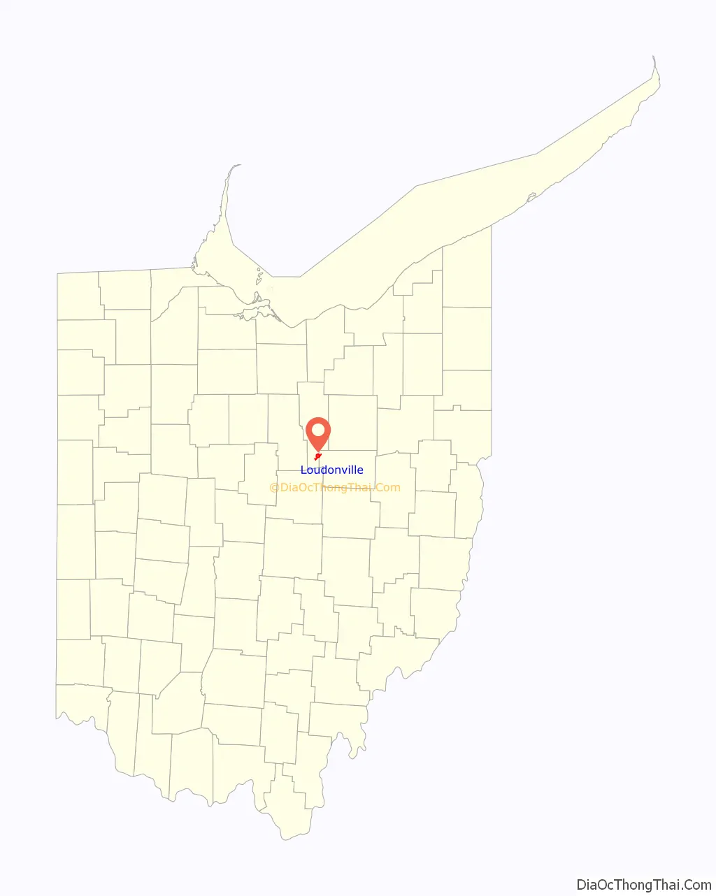
Loudonville Road Map
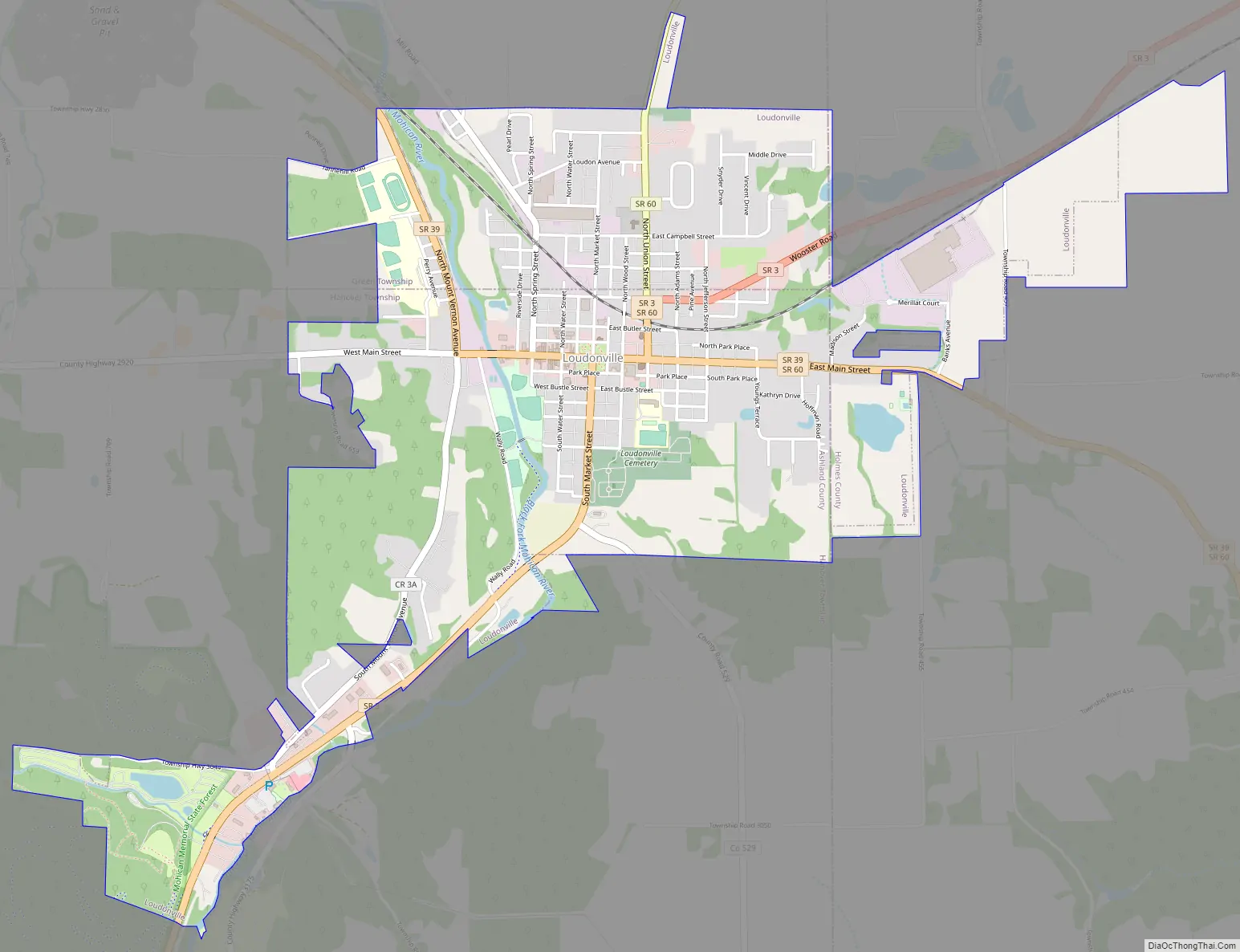
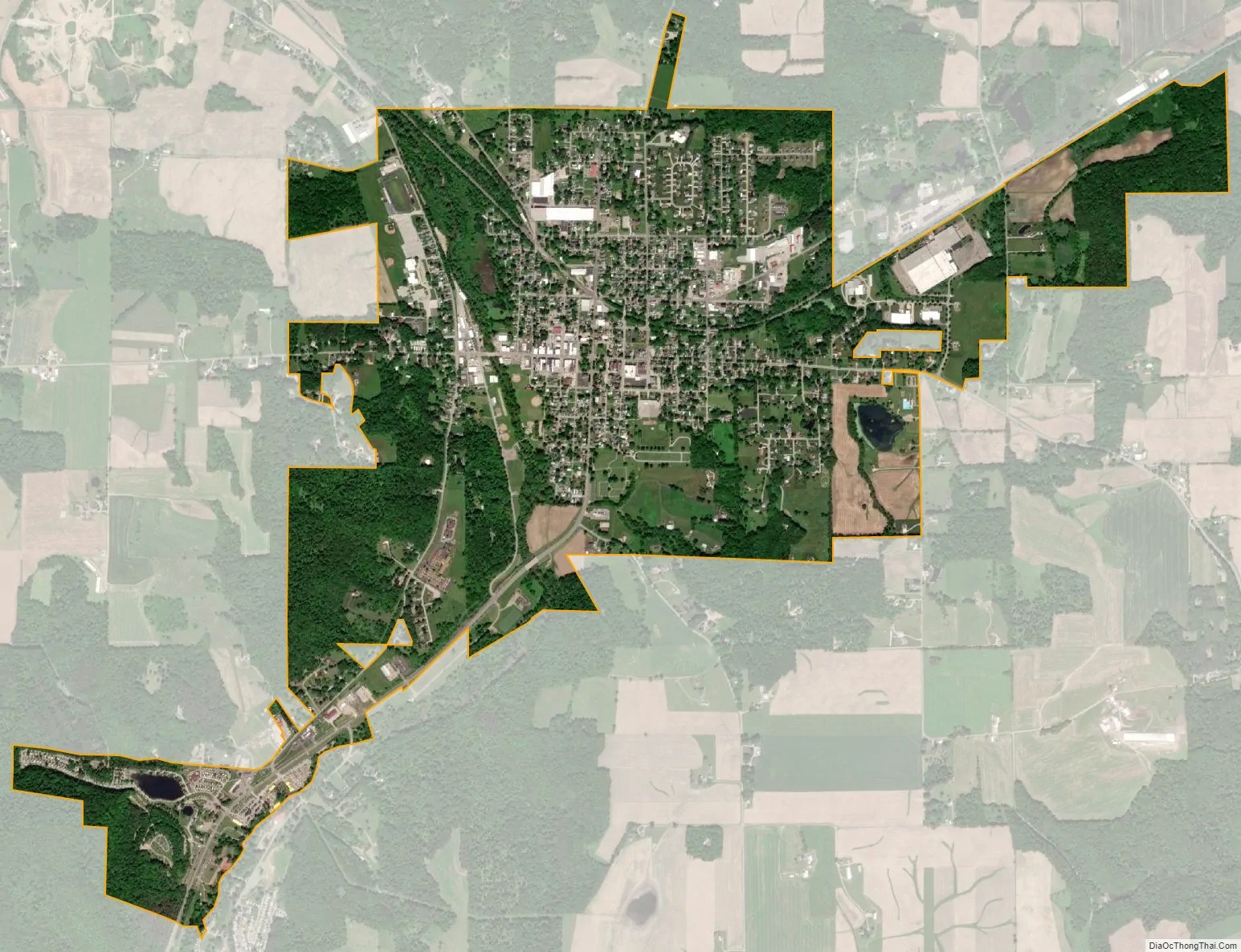
Loudonville city Satellite Map
Geography
Loudonville is located at 40°38′9″N 82°13′59″W / 40.63583°N 82.23306°W / 40.63583; -82.23306 (40.635850, −82.232959), along the Black Fork of the Mohican River.
According to the United States Census Bureau, the village has a total area of 2.62 square miles (6.79 km), of which 2.60 square miles (6.73 km) is land and 0.02 square miles (0.05 km) is water.
See also
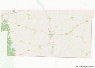
Map of Ohio State and its subdivision:- Adams
- Allen
- Ashland
- Ashtabula
- Athens
- Auglaize
- Belmont
- Brown
- Butler
- Carroll
- Champaign
- Clark
- Clermont
- Clinton
- Columbiana
- Coshocton
- Crawford
- Cuyahoga
- Darke
- Defiance
- Delaware
- Erie
- Fairfield
- Fayette
- Franklin
- Fulton
- Gallia
- Geauga
- Greene
- Guernsey
- Hamilton
- Hancock
- Hardin
- Harrison
- Henry
- Highland
- Hocking
- Holmes
- Huron
- Jackson
- Jefferson
- Knox
- Lake
- Lake Erie
- Lawrence
- Licking
- Logan
- Lorain
- Lucas
- Madison
- Mahoning
- Marion
- Medina
- Meigs
- Mercer
- Miami
- Monroe
- Montgomery
- Morgan
- Morrow
- Muskingum
- Noble
- Ottawa
- Paulding
- Perry
- Pickaway
- Pike
- Portage
- Preble
- Putnam
- Richland
- Ross
- Sandusky
- Scioto
- Seneca
- Shelby
- Stark
- Summit
- Trumbull
- Tuscarawas
- Union
- Van Wert
- Vinton
- Warren
- Washington
- Wayne
- Williams
- Wood
- Wyandot
- Alabama
- Alaska
- Arizona
- Arkansas
- California
- Colorado
- Connecticut
- Delaware
- District of Columbia
- Florida
- Georgia
- Hawaii
- Idaho
- Illinois
- Indiana
- Iowa
- Kansas
- Kentucky
- Louisiana
- Maine
- Maryland
- Massachusetts
- Michigan
- Minnesota
- Mississippi
- Missouri
- Montana
- Nebraska
- Nevada
- New Hampshire
- New Jersey
- New Mexico
- New York
- North Carolina
- North Dakota
- Ohio
- Oklahoma
- Oregon
- Pennsylvania
- Rhode Island
- South Carolina
- South Dakota
- Tennessee
- Texas
- Utah
- Vermont
- Virginia
- Washington
- West Virginia
- Wisconsin
- Wyoming