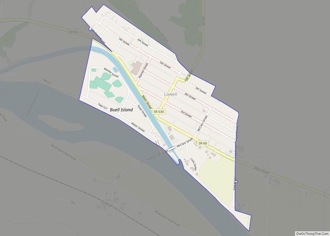
Lowell is a village in Washington County, Ohio, United States, along the Muskingum River. The population was 549 at the 2020 census. The village is located about 7.6 miles (12.2 km) north of Marietta, Ohio.
| Name: | Lowell village |
|---|---|
| LSAD Code: | 47 |
| LSAD Description: | village (suffix) |
| State: | Ohio |
| County: | Washington County |
| Elevation: | 617 ft (188 m) |
| Total Area: | 0.24 sq mi (0.61 km²) |
| Land Area: | 0.23 sq mi (0.59 km²) |
| Water Area: | 0.01 sq mi (0.02 km²) |
| Total Population: | 567 |
| Population Density: | 2,478.07/sq mi (957.41/km²) |
| ZIP code: | 45744 |
| Area code: | 740 |
| FIPS code: | 3945164 |
| GNISfeature ID: | 1065718 |
Online Interactive Map
Click on ![]() to view map in "full screen" mode.
to view map in "full screen" mode.
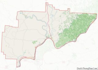
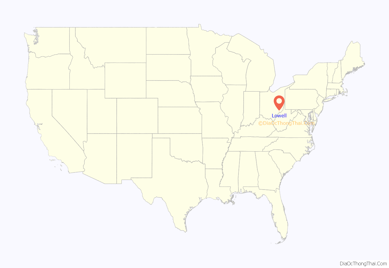
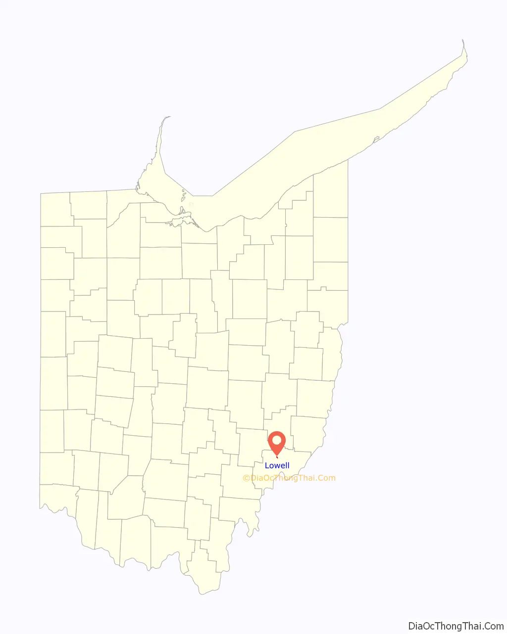
Lowell location map. Where is Lowell village?
History
The first European settlers to the land that would become Lowell arrived in the late 18th century after the 1787 Northwest Ordinance opened the territory for settlement. Soon after the Ordinance took effect, the Ohio Company of Associates purchased 1,500,000 acres (6,100 km) of land along the Muskingum River and proceeded to survey the area. The first settlement in what would become the state of Ohio was Marietta, founded in 1788 near the mouth of the Muskingum about 14 miles (23 km) downstream from the site that would become Lowell. By 1789, settlement had spread north to the area where the Cats Creek enters the Muskingum River.
By the 1830s the Muskingum Valley had long been settled, and local leaders created a plan to improve the Muskingum River for use as a source of power. In 1836 the State Legislature approved a bill that appropriated $400,000 to create a series of locks and dams along the river as far north as Dresden. Between 1837 and 1841, eleven dams and twelve locks were built at a cost that had ballooned to over $1.6 million. The third lock was built within a one-mile (1.6 km) long canal constructed near the mouth of the Cats Creek to bypass a series of rapids in the Muskingum. Two competing companies bought land near the canal with the intentions of building a town. The first settlement was laid out on November 8, 1837 and was named Lowell with the idea that it would grow into a large manufacturing city similar to Lowell, Massachusetts. It was located along the upper end of the canal on the west side of the Cats Creek. The second settlement, called Buell’s Lowell, was laid out on March 22, 1838. The second settlement quickly grew to dominate to the point that the first settlement became known as Upper Lowell. In 1850, Buell’s Lowell was incorporated as a village and in 1889 officially changed its name to Lowell.
During the second half the 19th century several mills, tanneries, and factories were built along the canal. In 1888 the Zanesville and Ohio River Railroad was constructed across the river from Lowell giving the small village rail access to Zanesville in the north and Marietta in the south. By the turn of the 20th century, Lowell’s fortunes began to decline as river trade was replaced by the railroads and later automobiles. Industry in the city declined and much of the land along the canal has since been replaced by parkland. Today many Lowell residents rely on Parkersburg and Marietta for jobs and shopping.
On November 10, 2015, no one ran against Steve Weber and he was elected Mayor.
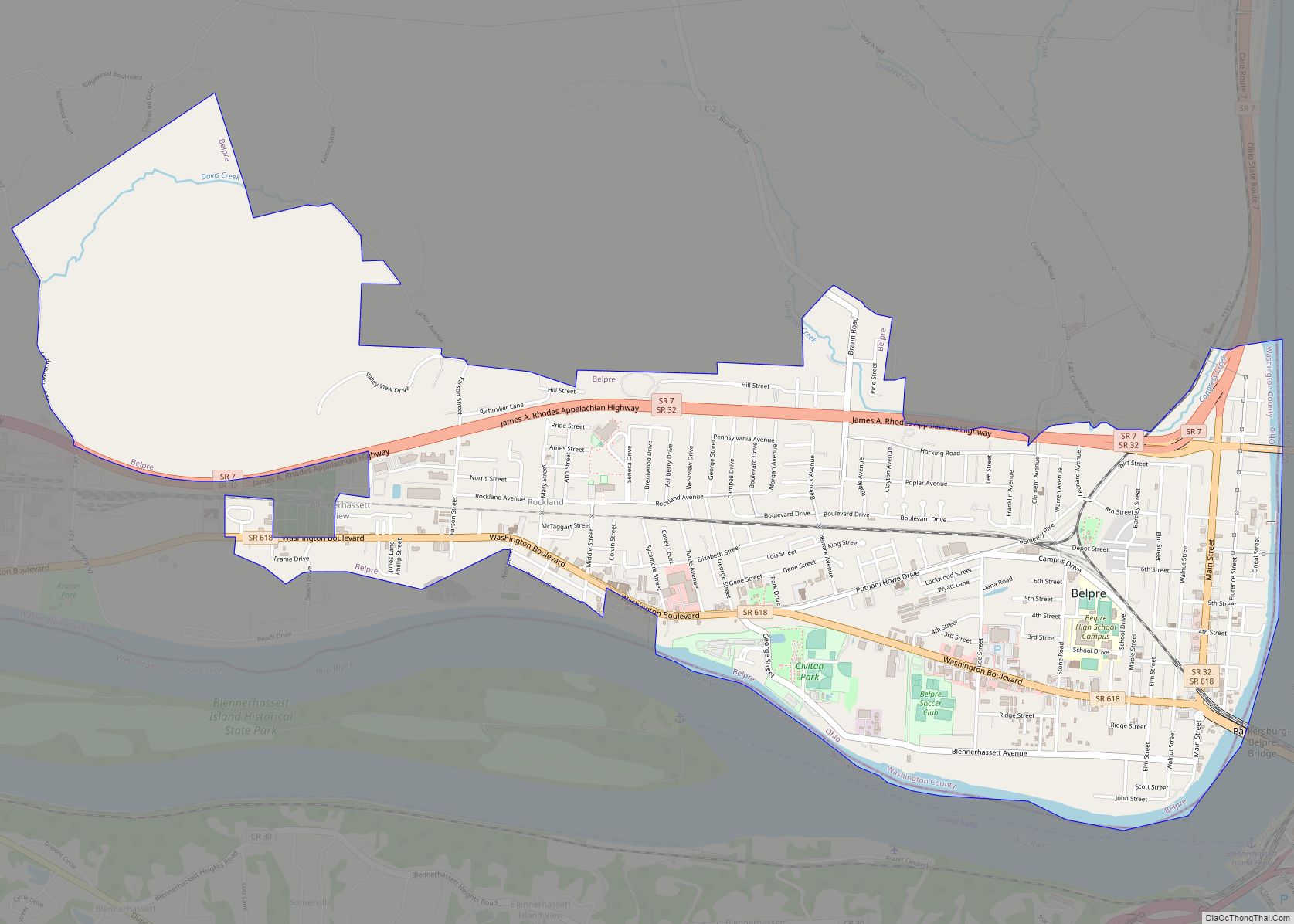
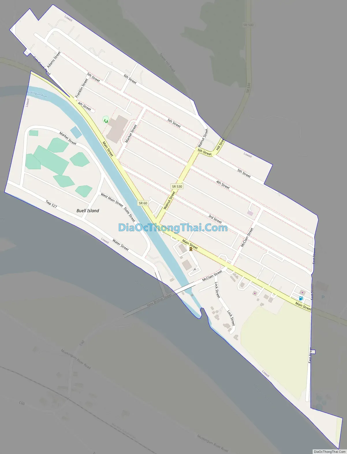
Lowell Road Map
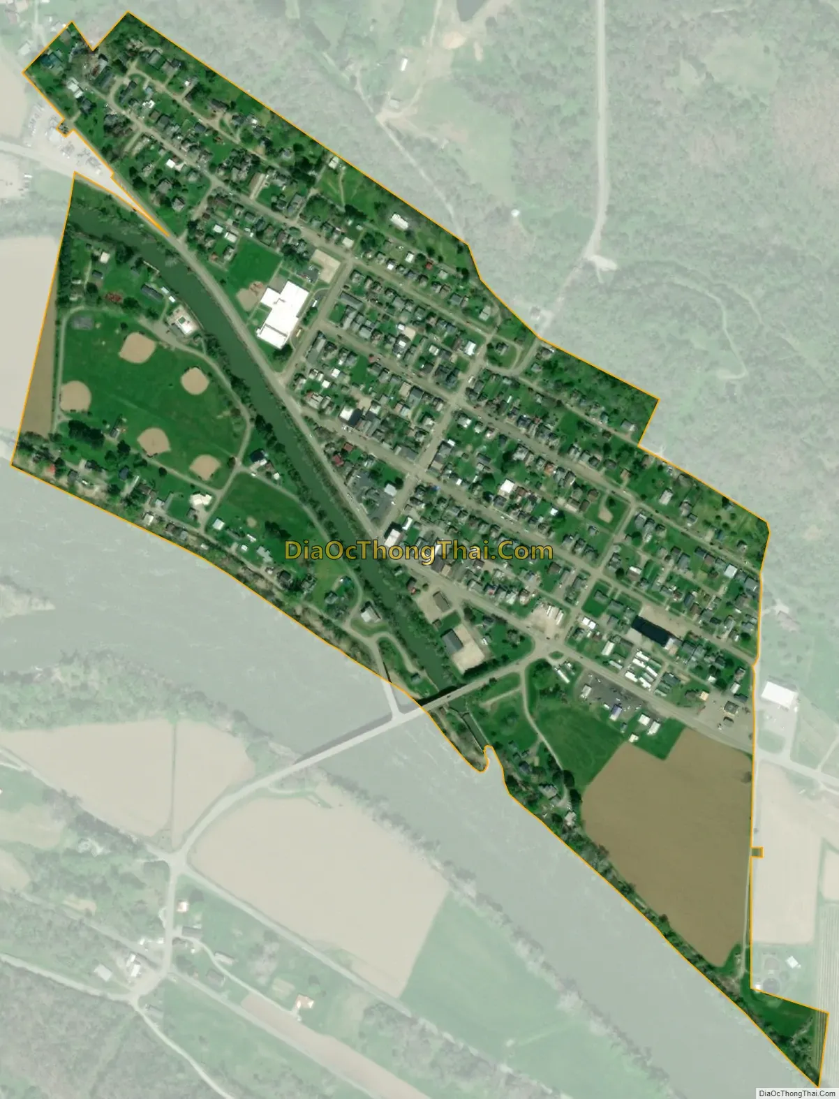
Lowell city Satellite Map
Geography
Lowell is located at 39°31′45″N 81°30′27″W / 39.529174°N 81.507370°W / 39.529174; -81.507370, along the Muskingum River.
According to the United States Census Bureau, the village has a total area of 0.24 square miles (0.62 km), of which 0.23 square miles (0.60 km) is land and 0.01 square miles (0.03 km) is water.
State Routes 60 and 530 connect in Lowell.
See also
Map of Ohio State and its subdivision:- Adams
- Allen
- Ashland
- Ashtabula
- Athens
- Auglaize
- Belmont
- Brown
- Butler
- Carroll
- Champaign
- Clark
- Clermont
- Clinton
- Columbiana
- Coshocton
- Crawford
- Cuyahoga
- Darke
- Defiance
- Delaware
- Erie
- Fairfield
- Fayette
- Franklin
- Fulton
- Gallia
- Geauga
- Greene
- Guernsey
- Hamilton
- Hancock
- Hardin
- Harrison
- Henry
- Highland
- Hocking
- Holmes
- Huron
- Jackson
- Jefferson
- Knox
- Lake
- Lake Erie
- Lawrence
- Licking
- Logan
- Lorain
- Lucas
- Madison
- Mahoning
- Marion
- Medina
- Meigs
- Mercer
- Miami
- Monroe
- Montgomery
- Morgan
- Morrow
- Muskingum
- Noble
- Ottawa
- Paulding
- Perry
- Pickaway
- Pike
- Portage
- Preble
- Putnam
- Richland
- Ross
- Sandusky
- Scioto
- Seneca
- Shelby
- Stark
- Summit
- Trumbull
- Tuscarawas
- Union
- Van Wert
- Vinton
- Warren
- Washington
- Wayne
- Williams
- Wood
- Wyandot
- Alabama
- Alaska
- Arizona
- Arkansas
- California
- Colorado
- Connecticut
- Delaware
- District of Columbia
- Florida
- Georgia
- Hawaii
- Idaho
- Illinois
- Indiana
- Iowa
- Kansas
- Kentucky
- Louisiana
- Maine
- Maryland
- Massachusetts
- Michigan
- Minnesota
- Mississippi
- Missouri
- Montana
- Nebraska
- Nevada
- New Hampshire
- New Jersey
- New Mexico
- New York
- North Carolina
- North Dakota
- Ohio
- Oklahoma
- Oregon
- Pennsylvania
- Rhode Island
- South Carolina
- South Dakota
- Tennessee
- Texas
- Utah
- Vermont
- Virginia
- Washington
- West Virginia
- Wisconsin
- Wyoming