Lower Salem is a village in Washington County, Ohio, United States. The population was 75 at the 2020 census.
| Name: | Lower Salem village |
|---|---|
| LSAD Code: | 47 |
| LSAD Description: | village (suffix) |
| State: | Ohio |
| County: | Washington County |
| Elevation: | 650 ft (198 m) |
| Total Area: | 0.06 sq mi (0.16 km²) |
| Land Area: | 0.06 sq mi (0.15 km²) |
| Water Area: | 0.00 sq mi (0.01 km²) |
| Total Population: | 75 |
| Population Density: | 1,271.19/sq mi (493.25/km²) |
| ZIP code: | 45745 |
| Area code: | 740 |
| FIPS code: | 3945220 |
| GNISfeature ID: | 1057819 |
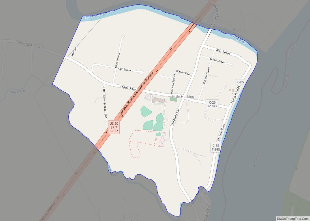
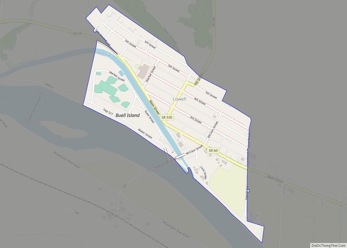
Online Interactive Map
Click on ![]() to view map in "full screen" mode.
to view map in "full screen" mode.
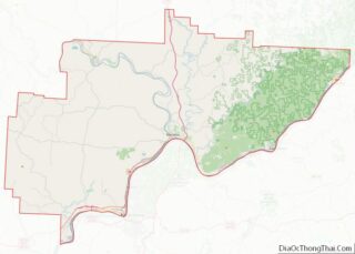
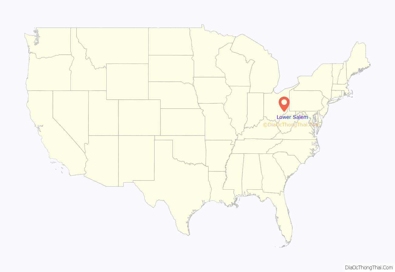
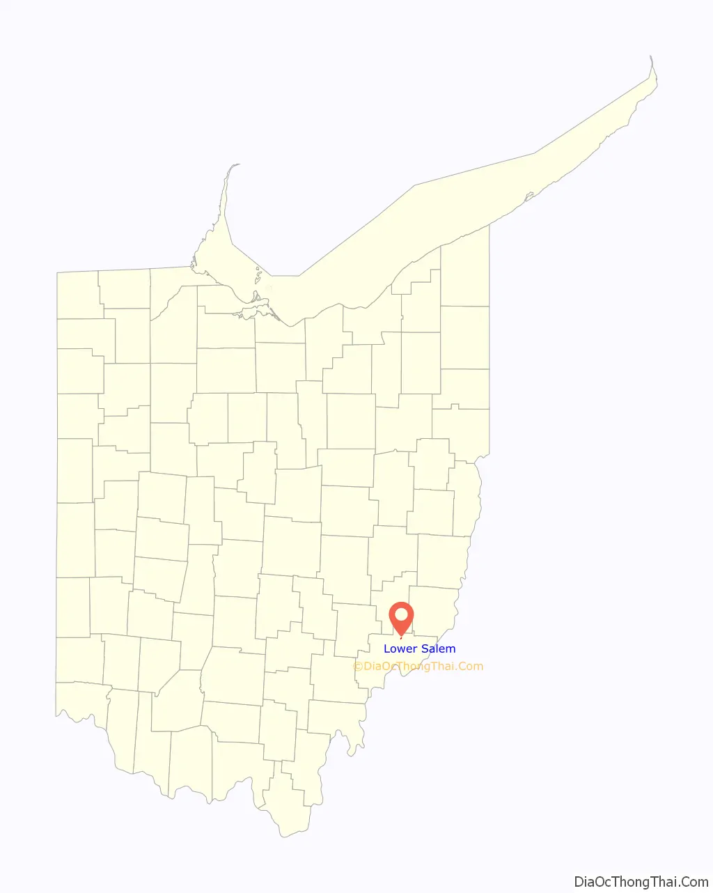
Lower Salem location map. Where is Lower Salem village?
History
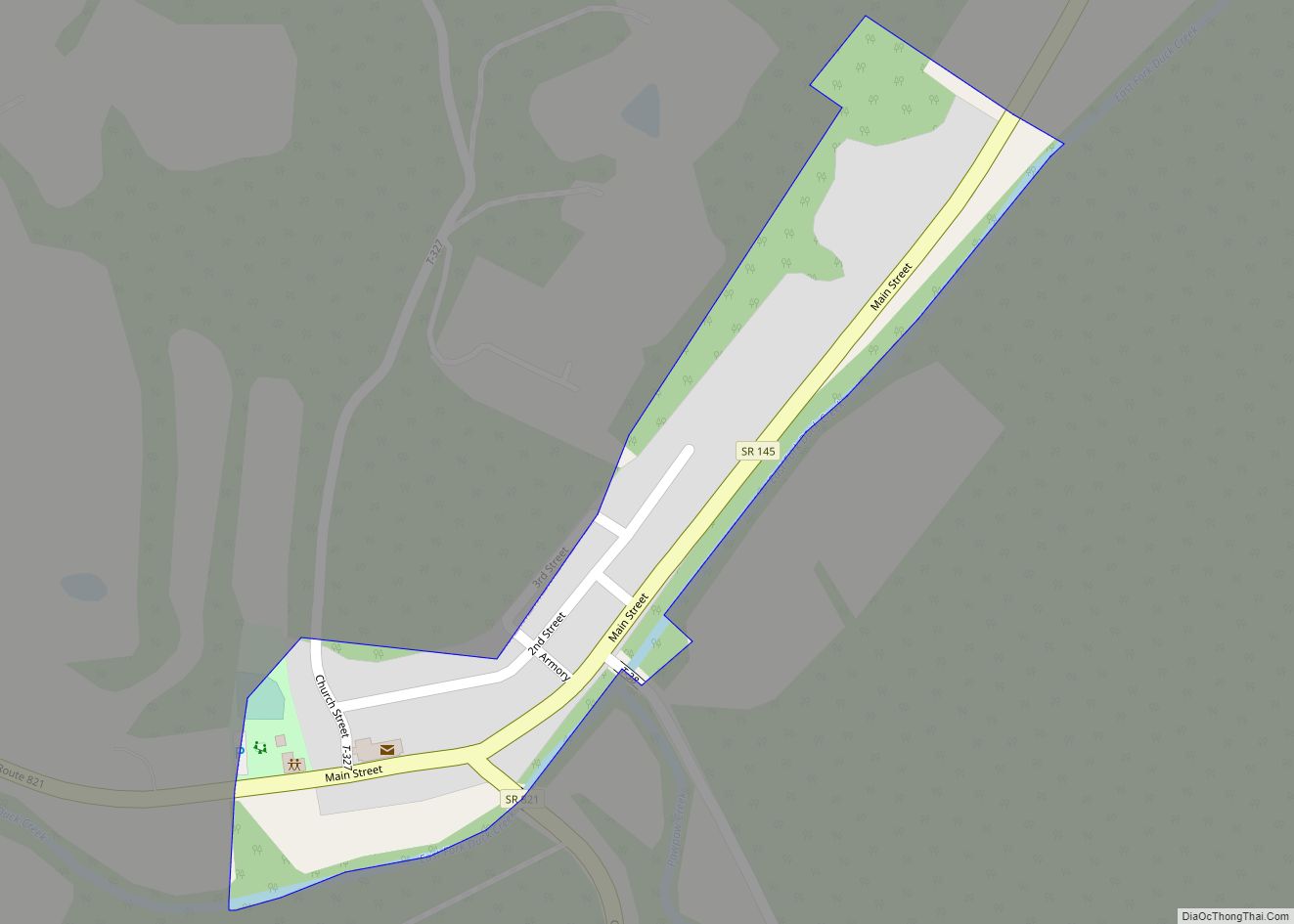
Lower Salem had its start when a corduroy road (called the Old Plank Road) was built through it to Marietta. It has a post office. The town site was not laid out until 1850, and was settled predominantly by German immigrants. Lower Salem was once home to a hotel, a doctor’s office, an armory, Wagner’s General Store, and a gas station and auto parts shop. While all of these buildings remain standing, all have gone out of business.
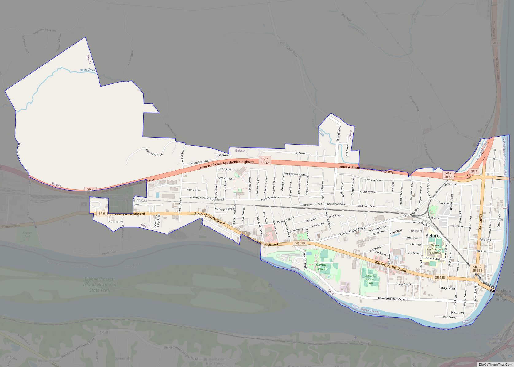
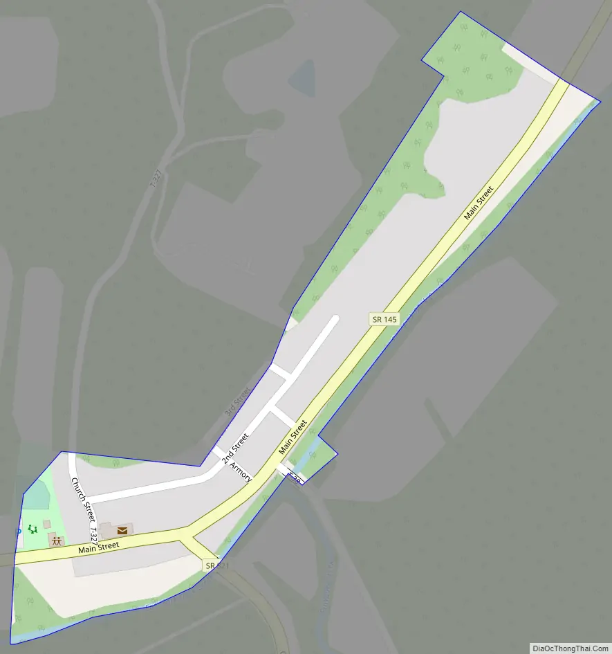
Lower Salem Road Map
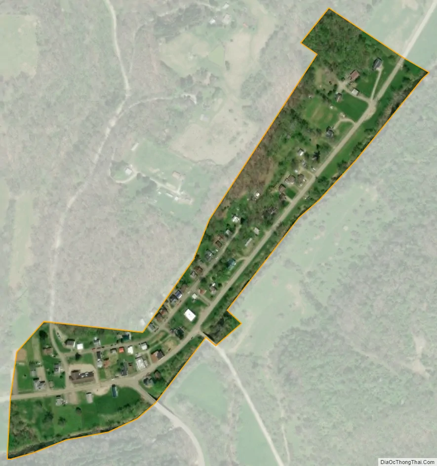
Lower Salem city Satellite Map
Geography
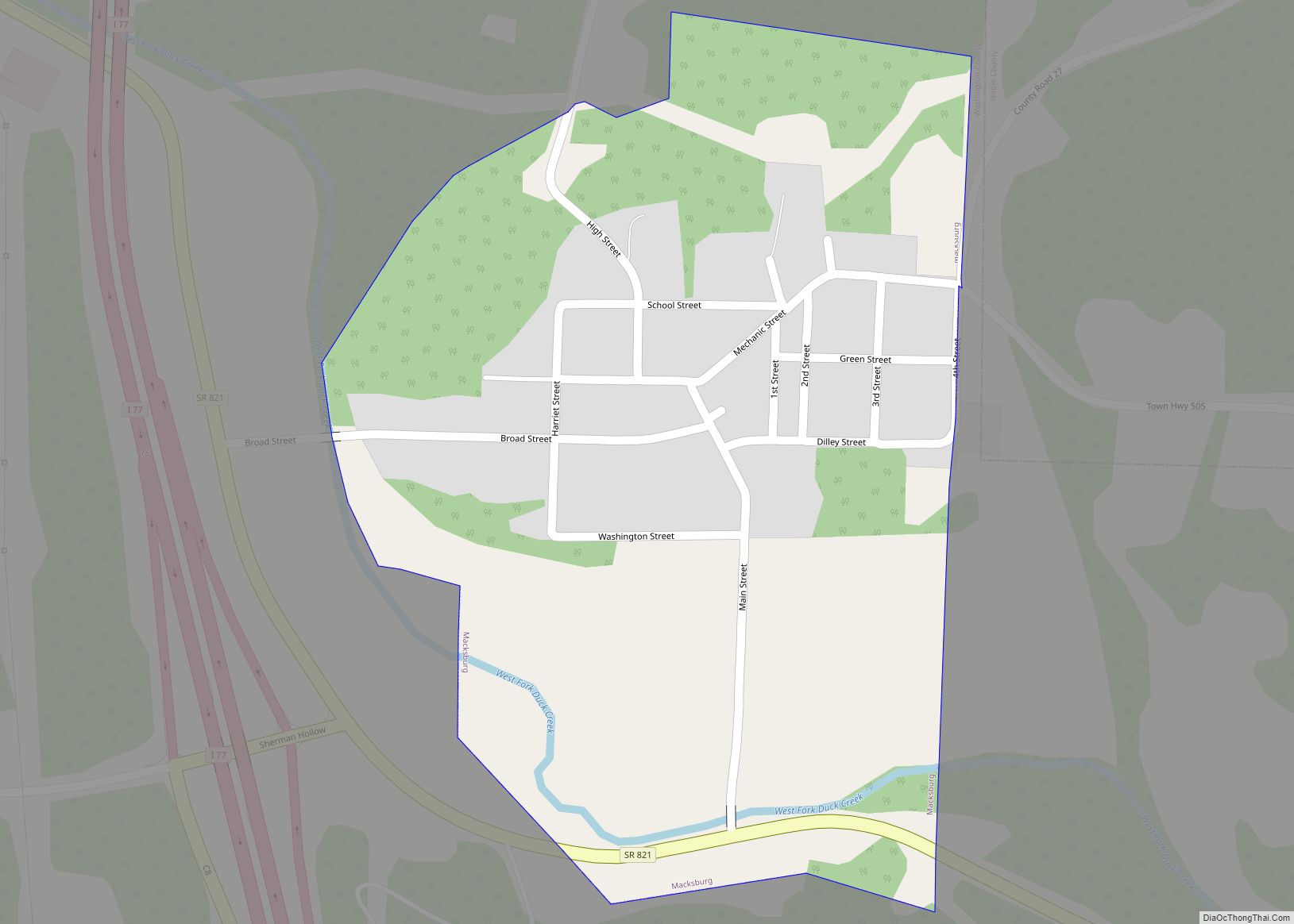
Lower Salem is located at 39°33′45″N 81°23′42″W / 39.56250°N 81.39500°W / 39.56250; -81.39500 (39.562423, -81.394934).
According to the United States Census Bureau, the village has a total area of 0.06 square miles (0.16 km), all land.
See also
Map of Ohio State and its subdivision:- Adams
- Allen
- Ashland
- Ashtabula
- Athens
- Auglaize
- Belmont
- Brown
- Butler
- Carroll
- Champaign
- Clark
- Clermont
- Clinton
- Columbiana
- Coshocton
- Crawford
- Cuyahoga
- Darke
- Defiance
- Delaware
- Erie
- Fairfield
- Fayette
- Franklin
- Fulton
- Gallia
- Geauga
- Greene
- Guernsey
- Hamilton
- Hancock
- Hardin
- Harrison
- Henry
- Highland
- Hocking
- Holmes
- Huron
- Jackson
- Jefferson
- Knox
- Lake
- Lake Erie
- Lawrence
- Licking
- Logan
- Lorain
- Lucas
- Madison
- Mahoning
- Marion
- Medina
- Meigs
- Mercer
- Miami
- Monroe
- Montgomery
- Morgan
- Morrow
- Muskingum
- Noble
- Ottawa
- Paulding
- Perry
- Pickaway
- Pike
- Portage
- Preble
- Putnam
- Richland
- Ross
- Sandusky
- Scioto
- Seneca
- Shelby
- Stark
- Summit
- Trumbull
- Tuscarawas
- Union
- Van Wert
- Vinton
- Warren
- Washington
- Wayne
- Williams
- Wood
- Wyandot
- Alabama
- Alaska
- Arizona
- Arkansas
- California
- Colorado
- Connecticut
- Delaware
- District of Columbia
- Florida
- Georgia
- Hawaii
- Idaho
- Illinois
- Indiana
- Iowa
- Kansas
- Kentucky
- Louisiana
- Maine
- Maryland
- Massachusetts
- Michigan
- Minnesota
- Mississippi
- Missouri
- Montana
- Nebraska
- Nevada
- New Hampshire
- New Jersey
- New Mexico
- New York
- North Carolina
- North Dakota
- Ohio
- Oklahoma
- Oregon
- Pennsylvania
- Rhode Island
- South Carolina
- South Dakota
- Tennessee
- Texas
- Utah
- Vermont
- Virginia
- Washington
- West Virginia
- Wisconsin
- Wyoming