Magnetic Springs is a village in Leesburg Township, Union County, Ohio, United States. The population was 268 at the 2010 census. The village supports a post office that has the ZIP Code of 43036.
| Name: | Magnetic Springs village |
|---|---|
| LSAD Code: | 47 |
| LSAD Description: | village (suffix) |
| State: | Ohio |
| County: | Union County |
| Elevation: | 932 ft (284 m) |
| Total Area: | 0.22 sq mi (0.58 km²) |
| Land Area: | 0.21 sq mi (0.55 km²) |
| Water Area: | 0.01 sq mi (0.02 km²) |
| Total Population: | 267 |
| Population Density: | 1,253.52/sq mi (483.86/km²) |
| ZIP code: | 43036 |
| Area code: | 937 and 326 |
| FIPS code: | 3946830 |
| GNISfeature ID: | 1042895 |
Online Interactive Map
Click on ![]() to view map in "full screen" mode.
to view map in "full screen" mode.
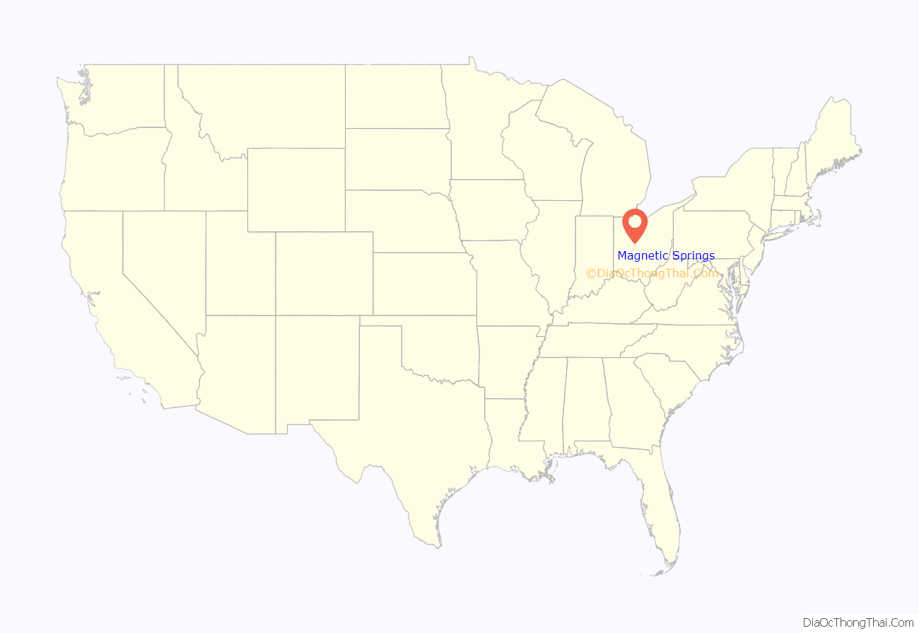
Magnetic Springs location map. Where is Magnetic Springs village?
History
Magnetic Springs was platted in 1879 when underground springs were discovered there. The community earned its name from the mineral waters used for healing processes. Word spread across the country of these springs, and tourists began visiting from locations nationwide; even foreigners appeared occasionally. Hotel resorts sprang up, and the village boomed. Following the discovery of modern medicinal cures, including the vaccine for polio, the interest in natural healing remedies faded, and the city’s tourism industry collapsed. By the early 1980s, the hotel resorts had been torn down.
During the Prohibition era of the 1920s, the village was a local hotbed of bootlegging and gambling, although it faced vigorous opposition from the mayor, Mary McFadden. She also led bond raising campaigns for a public services and a larger town hall, and to encourage full council meetings she cooked dinner for all the members.
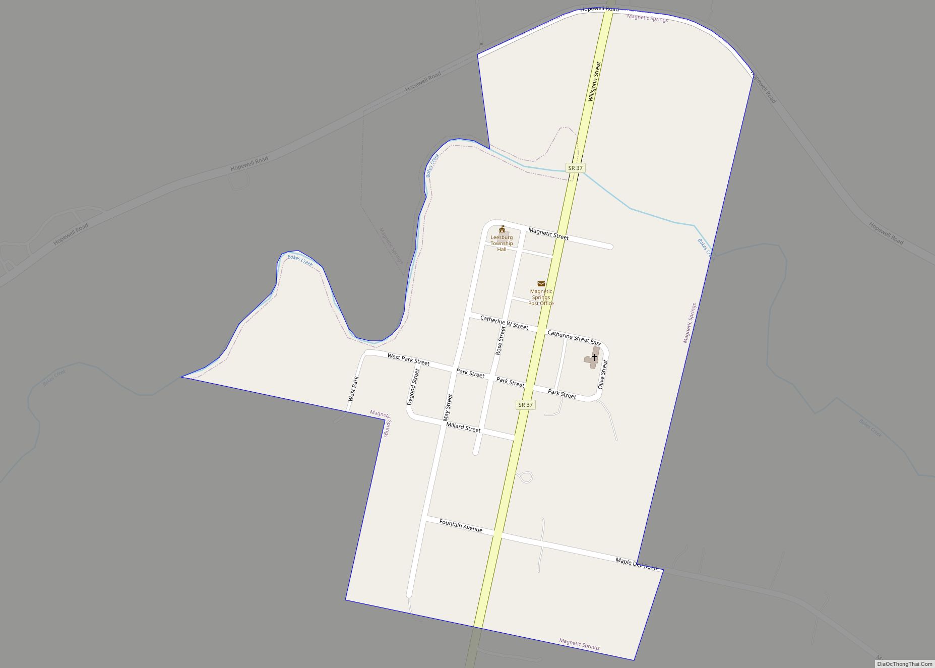
Magnetic Springs Road Map
Magnetic Springs city Satellite Map
Geography
Magnetic Springs is located at 40°21′11″N 83°15′46″W / 40.35306°N 83.26278°W / 40.35306; -83.26278 (40.353133, -83.262894).
According to the United States Census Bureau, the village has a total area of 0.24 square miles (0.62 km), of which 0.23 square miles (0.60 km) is land and 0.01 square miles (0.03 km) is water.
See also
Map of Ohio State and its subdivision:- Adams
- Allen
- Ashland
- Ashtabula
- Athens
- Auglaize
- Belmont
- Brown
- Butler
- Carroll
- Champaign
- Clark
- Clermont
- Clinton
- Columbiana
- Coshocton
- Crawford
- Cuyahoga
- Darke
- Defiance
- Delaware
- Erie
- Fairfield
- Fayette
- Franklin
- Fulton
- Gallia
- Geauga
- Greene
- Guernsey
- Hamilton
- Hancock
- Hardin
- Harrison
- Henry
- Highland
- Hocking
- Holmes
- Huron
- Jackson
- Jefferson
- Knox
- Lake
- Lake Erie
- Lawrence
- Licking
- Logan
- Lorain
- Lucas
- Madison
- Mahoning
- Marion
- Medina
- Meigs
- Mercer
- Miami
- Monroe
- Montgomery
- Morgan
- Morrow
- Muskingum
- Noble
- Ottawa
- Paulding
- Perry
- Pickaway
- Pike
- Portage
- Preble
- Putnam
- Richland
- Ross
- Sandusky
- Scioto
- Seneca
- Shelby
- Stark
- Summit
- Trumbull
- Tuscarawas
- Union
- Van Wert
- Vinton
- Warren
- Washington
- Wayne
- Williams
- Wood
- Wyandot
- Alabama
- Alaska
- Arizona
- Arkansas
- California
- Colorado
- Connecticut
- Delaware
- District of Columbia
- Florida
- Georgia
- Hawaii
- Idaho
- Illinois
- Indiana
- Iowa
- Kansas
- Kentucky
- Louisiana
- Maine
- Maryland
- Massachusetts
- Michigan
- Minnesota
- Mississippi
- Missouri
- Montana
- Nebraska
- Nevada
- New Hampshire
- New Jersey
- New Mexico
- New York
- North Carolina
- North Dakota
- Ohio
- Oklahoma
- Oregon
- Pennsylvania
- Rhode Island
- South Carolina
- South Dakota
- Tennessee
- Texas
- Utah
- Vermont
- Virginia
- Washington
- West Virginia
- Wisconsin
- Wyoming
