Magnolia is a village in Carroll and Stark counties in the U.S. state of Ohio. The population was 1,013 at the time of the 2020 census. It is part of the Canton–Massillon metropolitan area.
| Name: | Magnolia village |
|---|---|
| LSAD Code: | 47 |
| LSAD Description: | village (suffix) |
| State: | Ohio |
| County: | Carroll County, Stark County |
| Elevation: | 958 ft (292 m) |
| Total Area: | 0.80 sq mi (2.07 km²) |
| Land Area: | 0.80 sq mi (2.07 km²) |
| Water Area: | 0.00 sq mi (0.00 km²) |
| Total Population: | 1,013 |
| Population Density: | 1,267.83/sq mi (489.61/km²) |
| ZIP code: | 44643 |
| Area code: | 330 |
| FIPS code: | 3946844 |
| GNISfeature ID: | 1070833 |
| Website: | www.villageofmagnolia.com |
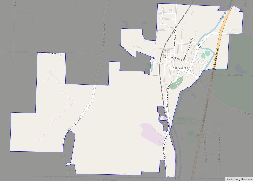
Online Interactive Map
Click on ![]() to view map in "full screen" mode.
to view map in "full screen" mode.
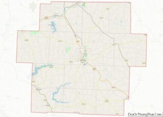
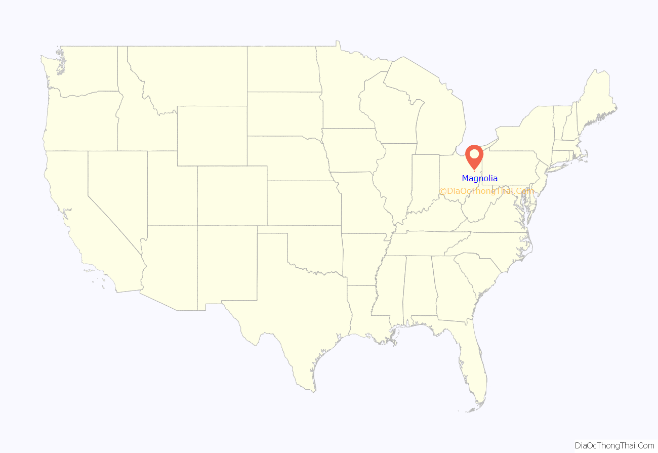
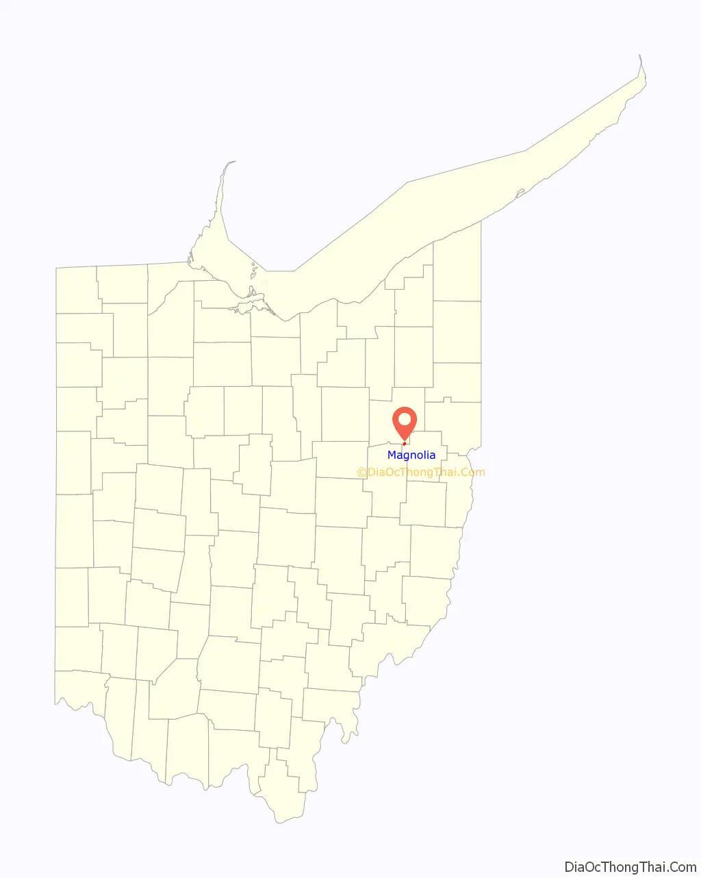
Magnolia location map. Where is Magnolia village?
History
In 1834 Richard Elson and John W. Smith laid out the village of Magnolia in Sandy Township. In 1836, Isaac Miller platted the village of Downingville in Rose Township. Downingville was named after the Downes family, early pioneers that came over from Ireland and England. The towns merged and became Magnolia on February 1, 1846. The village took its name from Magnolia Mills, a local gristmill.
The Muskingum Watershed Conservancy District constructed the Magnolia Levee to protect the town from Bolivar Dam.
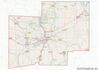
Magnolia Road Map
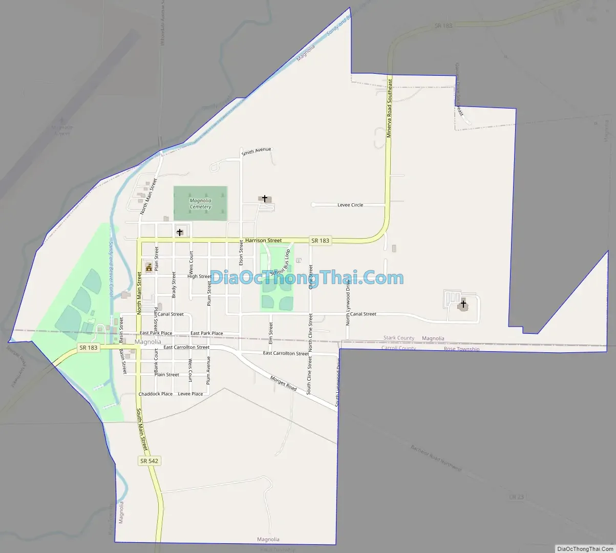
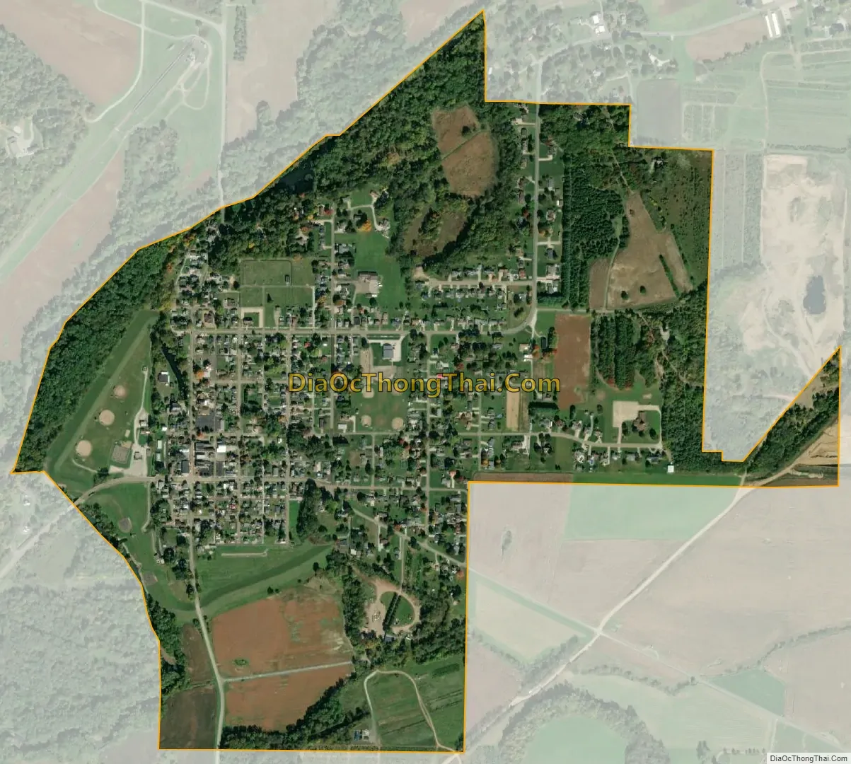
Magnolia city Satellite Map
Geography
Magnolia is located at 40°39′9″N 81°17′46″W / 40.65250°N 81.29611°W / 40.65250; -81.29611 (40.652546, −81.296119), along Sandy Creek.
According to the United States Census Bureau, the village has a total area of 0.87 square miles (2.25 km), all land.
Magnolia lies at the intersection of State Routes 183 and 542.
See also
Map of Ohio State and its subdivision:- Adams
- Allen
- Ashland
- Ashtabula
- Athens
- Auglaize
- Belmont
- Brown
- Butler
- Carroll
- Champaign
- Clark
- Clermont
- Clinton
- Columbiana
- Coshocton
- Crawford
- Cuyahoga
- Darke
- Defiance
- Delaware
- Erie
- Fairfield
- Fayette
- Franklin
- Fulton
- Gallia
- Geauga
- Greene
- Guernsey
- Hamilton
- Hancock
- Hardin
- Harrison
- Henry
- Highland
- Hocking
- Holmes
- Huron
- Jackson
- Jefferson
- Knox
- Lake
- Lake Erie
- Lawrence
- Licking
- Logan
- Lorain
- Lucas
- Madison
- Mahoning
- Marion
- Medina
- Meigs
- Mercer
- Miami
- Monroe
- Montgomery
- Morgan
- Morrow
- Muskingum
- Noble
- Ottawa
- Paulding
- Perry
- Pickaway
- Pike
- Portage
- Preble
- Putnam
- Richland
- Ross
- Sandusky
- Scioto
- Seneca
- Shelby
- Stark
- Summit
- Trumbull
- Tuscarawas
- Union
- Van Wert
- Vinton
- Warren
- Washington
- Wayne
- Williams
- Wood
- Wyandot
- Alabama
- Alaska
- Arizona
- Arkansas
- California
- Colorado
- Connecticut
- Delaware
- District of Columbia
- Florida
- Georgia
- Hawaii
- Idaho
- Illinois
- Indiana
- Iowa
- Kansas
- Kentucky
- Louisiana
- Maine
- Maryland
- Massachusetts
- Michigan
- Minnesota
- Mississippi
- Missouri
- Montana
- Nebraska
- Nevada
- New Hampshire
- New Jersey
- New Mexico
- New York
- North Carolina
- North Dakota
- Ohio
- Oklahoma
- Oregon
- Pennsylvania
- Rhode Island
- South Carolina
- South Dakota
- Tennessee
- Texas
- Utah
- Vermont
- Virginia
- Washington
- West Virginia
- Wisconsin
- Wyoming