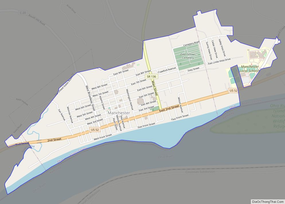
Manchester is a village in Manchester Township, Adams County, Ohio, United States, along the Ohio River. The population was 1,839 at the 2020 census.
| Name: | Manchester village |
|---|---|
| LSAD Code: | 47 |
| LSAD Description: | village (suffix) |
| State: | Ohio |
| County: | Adams County |
| Elevation: | 505 ft (154 m) |
| Total Area: | 1.29 sq mi (3.33 km²) |
| Land Area: | 1.27 sq mi (3.28 km²) |
| Water Area: | 0.02 sq mi (0.05 km²) |
| Total Population: | 1,839 |
| Population Density: | 1,451.46/sq mi (560.23/km²) |
| ZIP code: | 45144 |
| Area code: | 937, 326 |
| FIPS code: | 3947012 |
| GNISfeature ID: | 1061465 |
| Website: | villageofmanchesterohio.com |
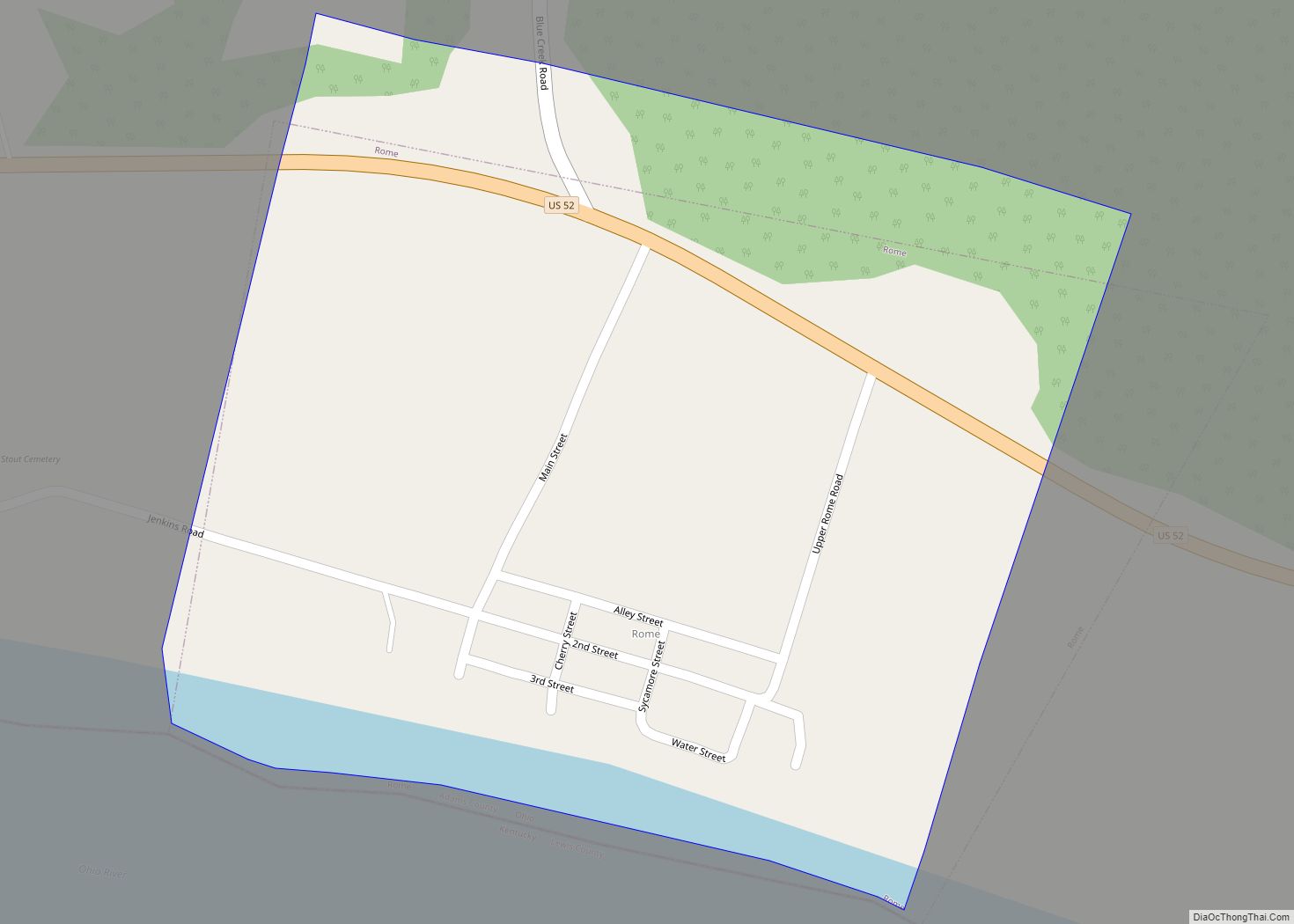
Online Interactive Map
Click on ![]() to view map in "full screen" mode.
to view map in "full screen" mode.
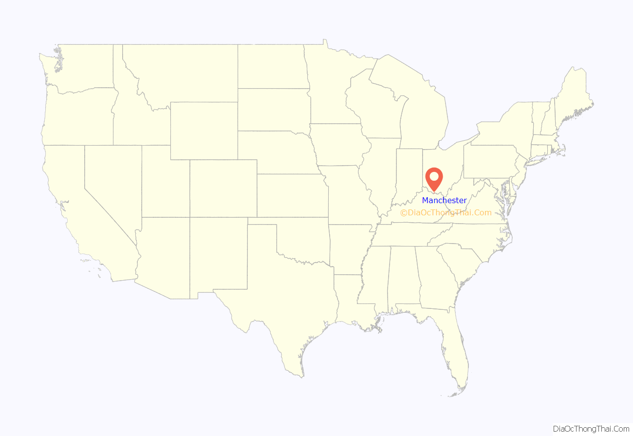
Manchester location map. Where is Manchester village?
History
The community was originally founded in 1790 as Massie’s Station for Nathaniel Massie, an explorer and entrepreneur who first surveyed Virginia Military District. It was the first permanent settlement in the District. It was laid out along the Ohio River near three islands. In 1791, Massie’s Station became known as Manchester, Ohio, after Manchester, England, Massie’s ancestral home. It was the fourth permanent settlement established in the Northwest Territory. By 1791, residents had completely encircled the community with a stockade.
In 1933, after its bankruptcy, Alfred Holbrook College opened on the same campus as National Normal University, a teacher’s college in Lebanon, Ohio. In 1933, Alfred Holbrook College moved to Manchester where it closed in 1941.
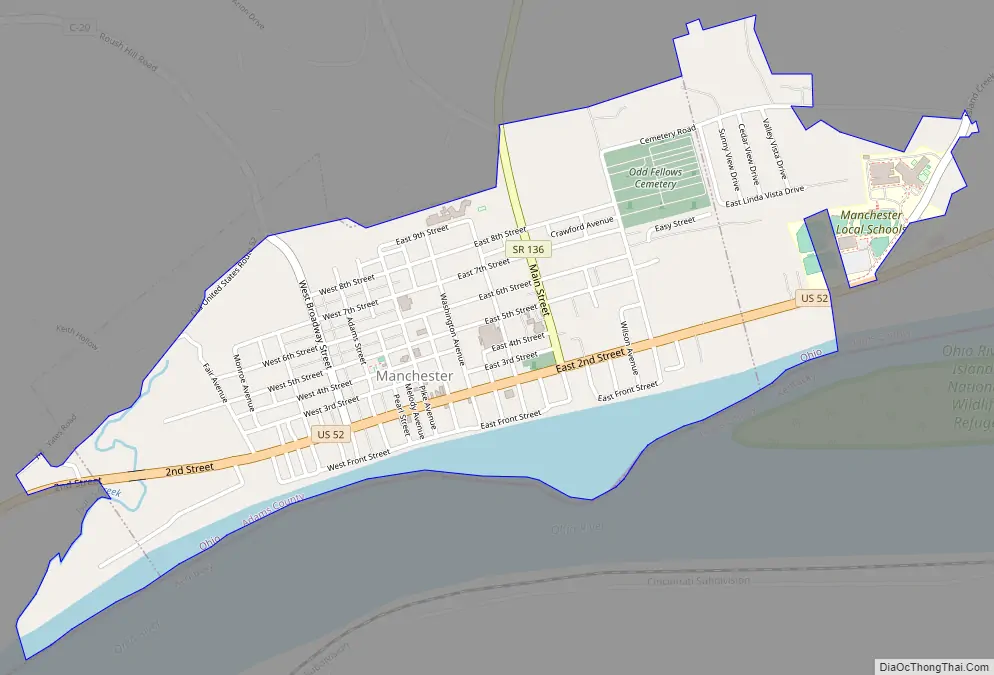
Manchester Road Map
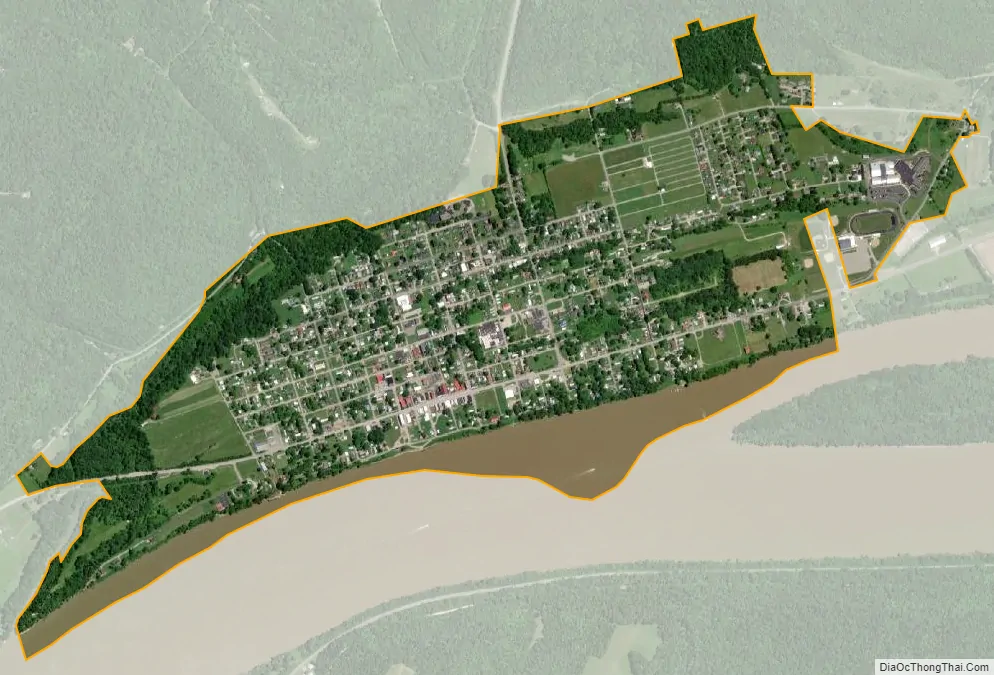
Manchester city Satellite Map
Geography
Manchester is at 38°41′22″N 83°36′33″W / 38.68944°N 83.60917°W / 38.68944; -83.60917 (38.689546, -83.609263).
According to the United States Census Bureau, the village has an area of 1.29 square miles (3.34 km), of which 1.28 square miles (3.32 km) is land and 0.01 square miles (0.03 km) is water.
Manchester is at the junction of U.S. Route 52 and Ohio State Route 136. Manchester is the approximate halfway point between Cincinnati and Huntington, West Virginia.
See also
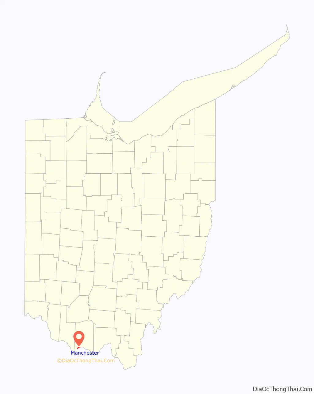
Map of Ohio State and its subdivision:- Adams
- Allen
- Ashland
- Ashtabula
- Athens
- Auglaize
- Belmont
- Brown
- Butler
- Carroll
- Champaign
- Clark
- Clermont
- Clinton
- Columbiana
- Coshocton
- Crawford
- Cuyahoga
- Darke
- Defiance
- Delaware
- Erie
- Fairfield
- Fayette
- Franklin
- Fulton
- Gallia
- Geauga
- Greene
- Guernsey
- Hamilton
- Hancock
- Hardin
- Harrison
- Henry
- Highland
- Hocking
- Holmes
- Huron
- Jackson
- Jefferson
- Knox
- Lake
- Lake Erie
- Lawrence
- Licking
- Logan
- Lorain
- Lucas
- Madison
- Mahoning
- Marion
- Medina
- Meigs
- Mercer
- Miami
- Monroe
- Montgomery
- Morgan
- Morrow
- Muskingum
- Noble
- Ottawa
- Paulding
- Perry
- Pickaway
- Pike
- Portage
- Preble
- Putnam
- Richland
- Ross
- Sandusky
- Scioto
- Seneca
- Shelby
- Stark
- Summit
- Trumbull
- Tuscarawas
- Union
- Van Wert
- Vinton
- Warren
- Washington
- Wayne
- Williams
- Wood
- Wyandot
- Alabama
- Alaska
- Arizona
- Arkansas
- California
- Colorado
- Connecticut
- Delaware
- District of Columbia
- Florida
- Georgia
- Hawaii
- Idaho
- Illinois
- Indiana
- Iowa
- Kansas
- Kentucky
- Louisiana
- Maine
- Maryland
- Massachusetts
- Michigan
- Minnesota
- Mississippi
- Missouri
- Montana
- Nebraska
- Nevada
- New Hampshire
- New Jersey
- New Mexico
- New York
- North Carolina
- North Dakota
- Ohio
- Oklahoma
- Oregon
- Pennsylvania
- Rhode Island
- South Carolina
- South Dakota
- Tennessee
- Texas
- Utah
- Vermont
- Virginia
- Washington
- West Virginia
- Wisconsin
- Wyoming