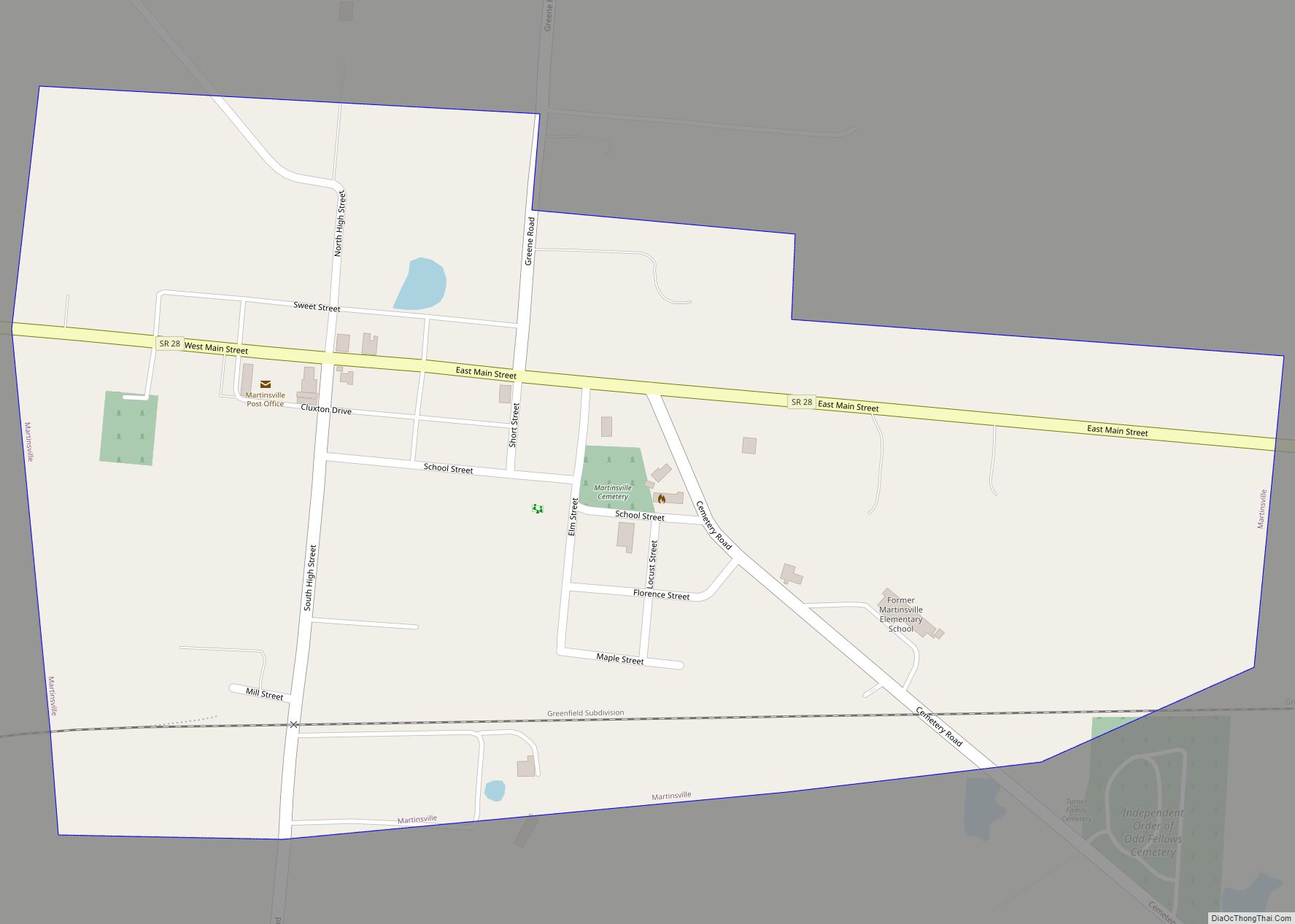
Martinsville is a village in Clinton County, Ohio, United States. The population was 463 at the 2010 census.
| Name: | Martinsville village |
|---|---|
| LSAD Code: | 47 |
| LSAD Description: | village (suffix) |
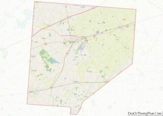
| State: | Ohio |
| County: | Clinton County |
| Elevation: | 1,086 ft (331 m) |
| Total Area: | 0.37 sq mi (0.96 km²) |
| Land Area: | 0.37 sq mi (0.95 km²) |
| Water Area: | 0.00 sq mi (0.00 km²) |
| Total Population: | 416 |
| Population Density: | 1,127.37/sq mi (435.62/km²) |
| ZIP code: | 45146 |
| Area code: | 937, 326 |
| FIPS code: | 3948118 |
| GNISfeature ID: | 1043032 |
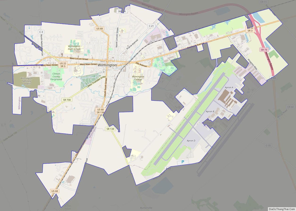
Online Interactive Map
Click on ![]() to view map in "full screen" mode.
to view map in "full screen" mode.
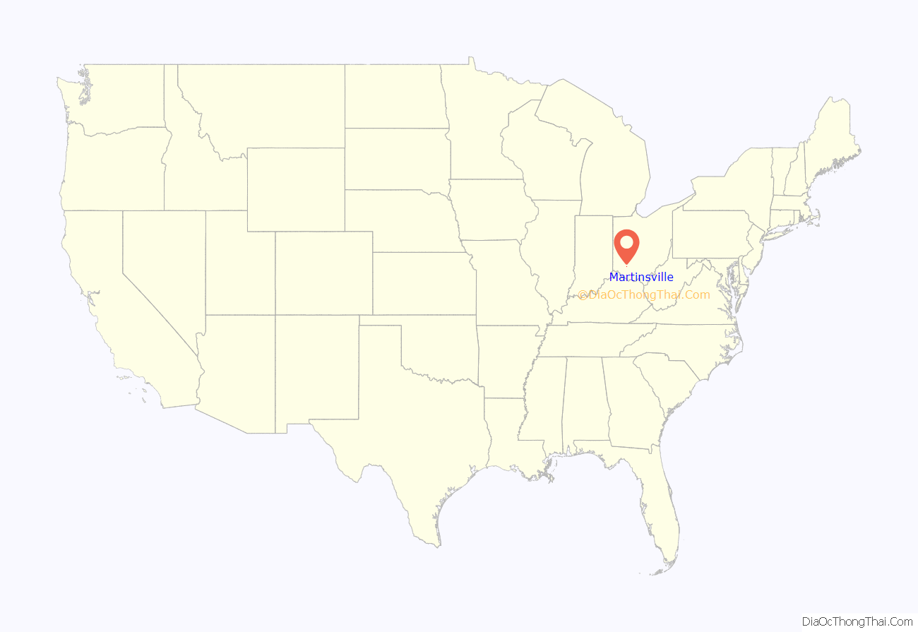
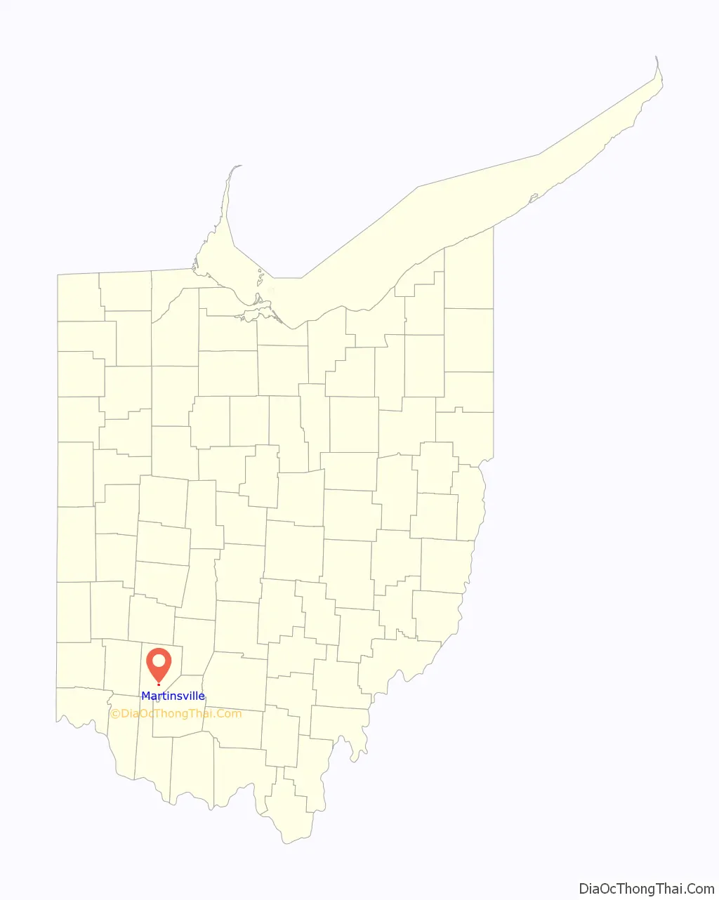
Martinsville location map. Where is Martinsville village?
History
Martinsville was platted in 1816. By 1833, Martinsville had 75 inhabitants.
In 2013, prosecutors charged a former Martinsville council president and a village administrator with stealing more than $100,000 from the village.
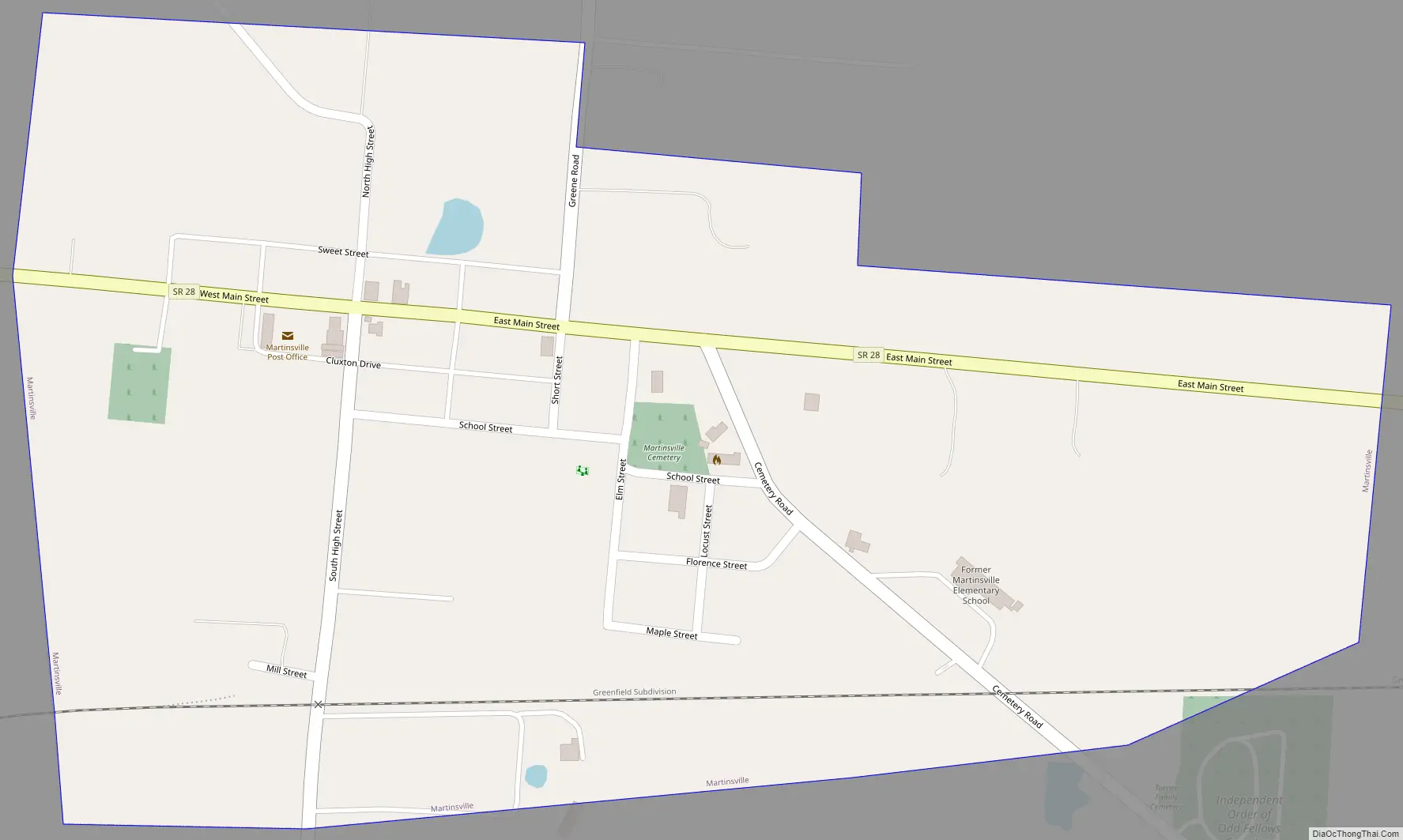
Martinsville Road Map
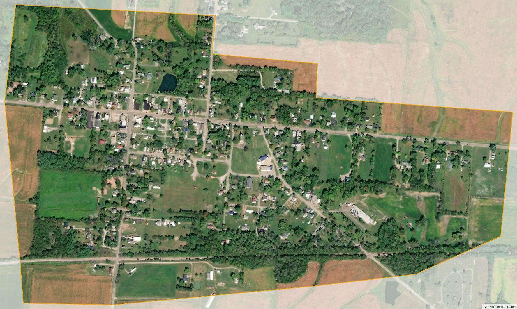
Martinsville city Satellite Map
Geography
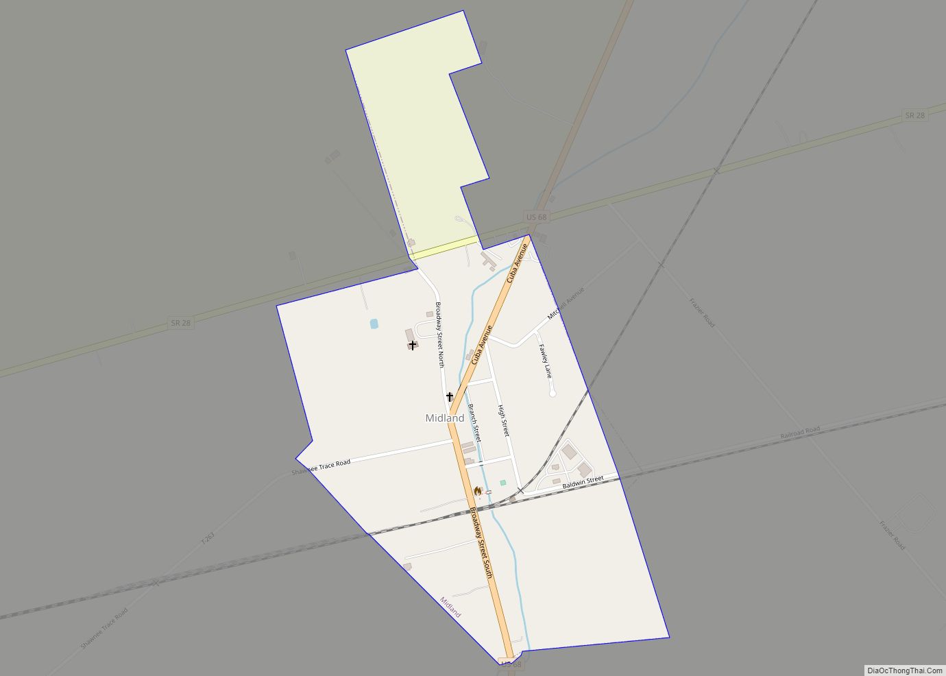
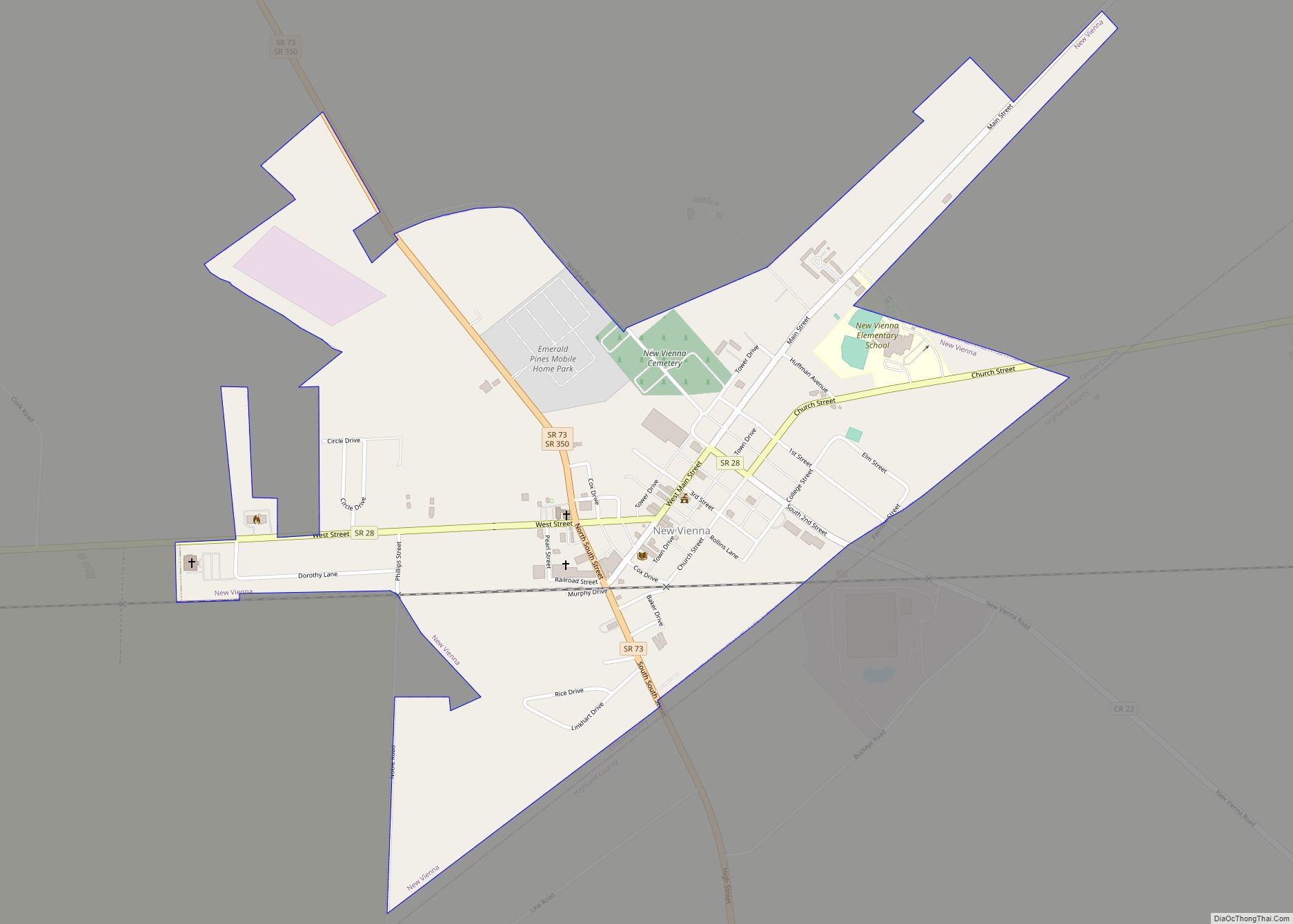
Martinsville is located at 39°19′23″N 83°48′40″W / 39.32306°N 83.81111°W / 39.32306; -83.81111 (39.323042, -83.811003). The village lies along State Route 28 west of New Vienna and east of Midland. SR 28 intersects SR 134 just east of Martinsville, connecting the area to Wilmington a few miles to the north.
According to the United States Census Bureau, the village has a total area of 0.44 square miles (1.14 km), all land.
See also
Map of Ohio State and its subdivision:- Adams
- Allen
- Ashland
- Ashtabula
- Athens
- Auglaize
- Belmont
- Brown
- Butler
- Carroll
- Champaign
- Clark
- Clermont
- Clinton
- Columbiana
- Coshocton
- Crawford
- Cuyahoga
- Darke
- Defiance
- Delaware
- Erie
- Fairfield
- Fayette
- Franklin
- Fulton
- Gallia
- Geauga
- Greene
- Guernsey
- Hamilton
- Hancock
- Hardin
- Harrison
- Henry
- Highland
- Hocking
- Holmes
- Huron
- Jackson
- Jefferson
- Knox
- Lake
- Lake Erie
- Lawrence
- Licking
- Logan
- Lorain
- Lucas
- Madison
- Mahoning
- Marion
- Medina
- Meigs
- Mercer
- Miami
- Monroe
- Montgomery
- Morgan
- Morrow
- Muskingum
- Noble
- Ottawa
- Paulding
- Perry
- Pickaway
- Pike
- Portage
- Preble
- Putnam
- Richland
- Ross
- Sandusky
- Scioto
- Seneca
- Shelby
- Stark
- Summit
- Trumbull
- Tuscarawas
- Union
- Van Wert
- Vinton
- Warren
- Washington
- Wayne
- Williams
- Wood
- Wyandot
- Alabama
- Alaska
- Arizona
- Arkansas
- California
- Colorado
- Connecticut
- Delaware
- District of Columbia
- Florida
- Georgia
- Hawaii
- Idaho
- Illinois
- Indiana
- Iowa
- Kansas
- Kentucky
- Louisiana
- Maine
- Maryland
- Massachusetts
- Michigan
- Minnesota
- Mississippi
- Missouri
- Montana
- Nebraska
- Nevada
- New Hampshire
- New Jersey
- New Mexico
- New York
- North Carolina
- North Dakota
- Ohio
- Oklahoma
- Oregon
- Pennsylvania
- Rhode Island
- South Carolina
- South Dakota
- Tennessee
- Texas
- Utah
- Vermont
- Virginia
- Washington
- West Virginia
- Wisconsin
- Wyoming