Matamoras, also known as New Matamoras, is a village in Washington County, Ohio, United States, along the Ohio River. The population was 702 at the 2020 census. It is part of the Marietta micropolitan area.
| Name: | Matamoras village |
|---|---|
| LSAD Code: | 47 |
| LSAD Description: | village (suffix) |
| State: | Ohio |
| County: | Washington County |
| Total Area: | 0.39 sq mi (1.00 km²) |
| Land Area: | 0.35 sq mi (0.90 km²) |
| Water Area: | 0.04 sq mi (0.10 km²) |
| Total Population: | 702 |
| Population Density: | 2,017.24/sq mi (779.68/km²) |
| ZIP code: | 45767 |
| Area code: | 740 |
| FIPS code: | 3948286 |
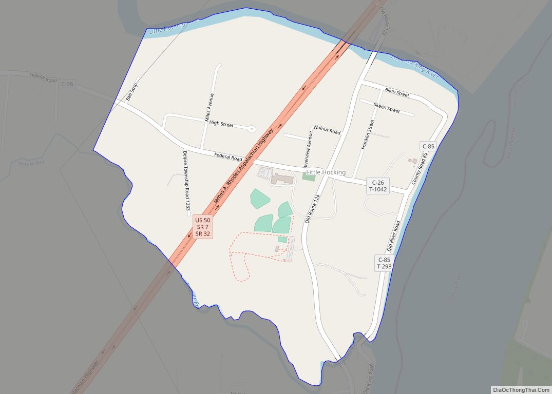
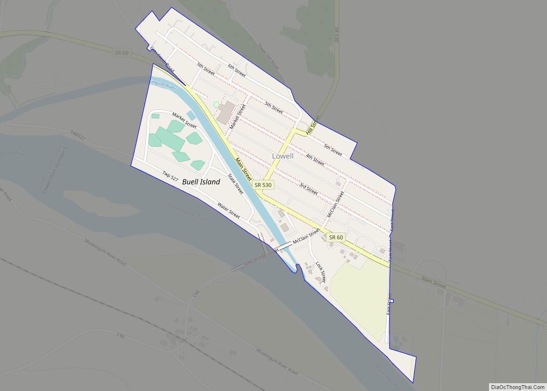
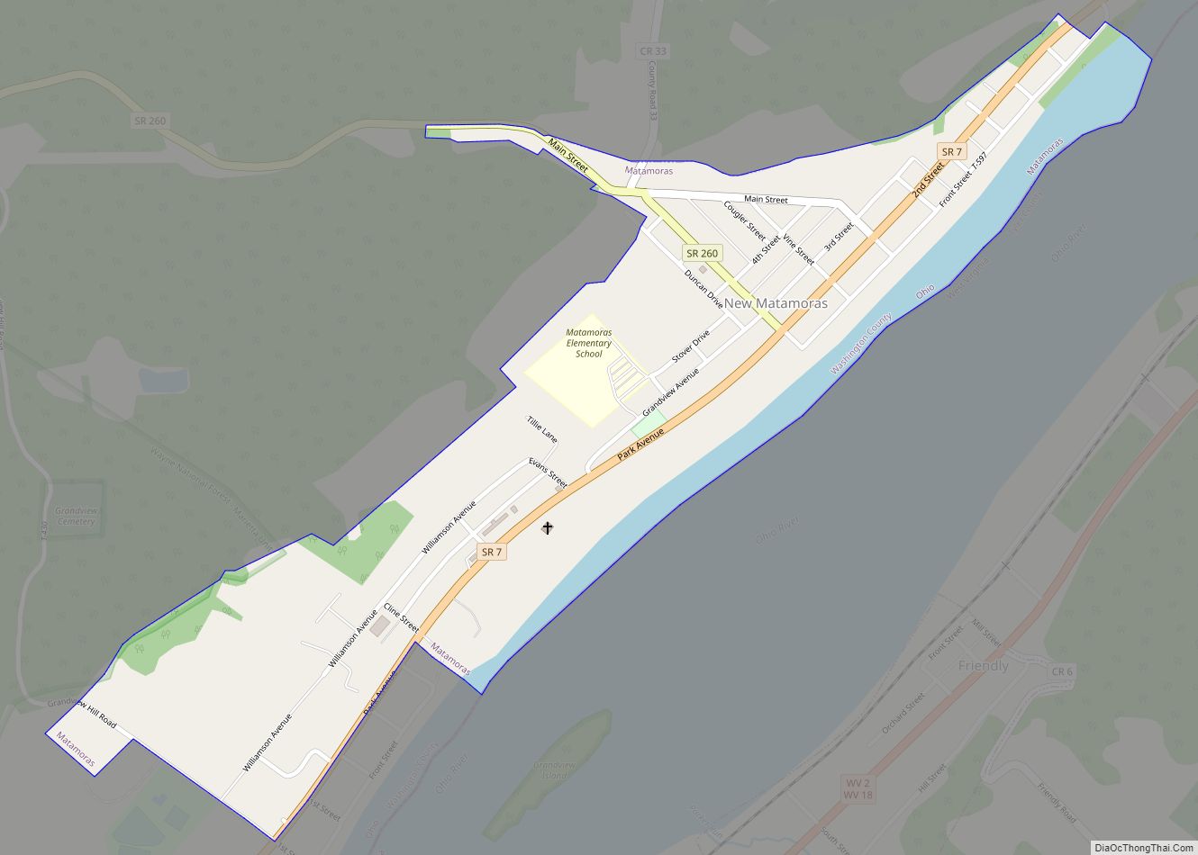
Online Interactive Map
Click on ![]() to view map in "full screen" mode.
to view map in "full screen" mode.
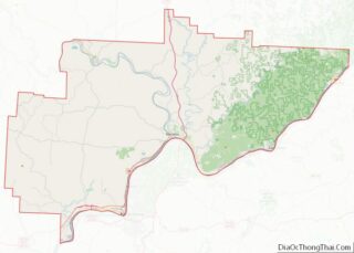
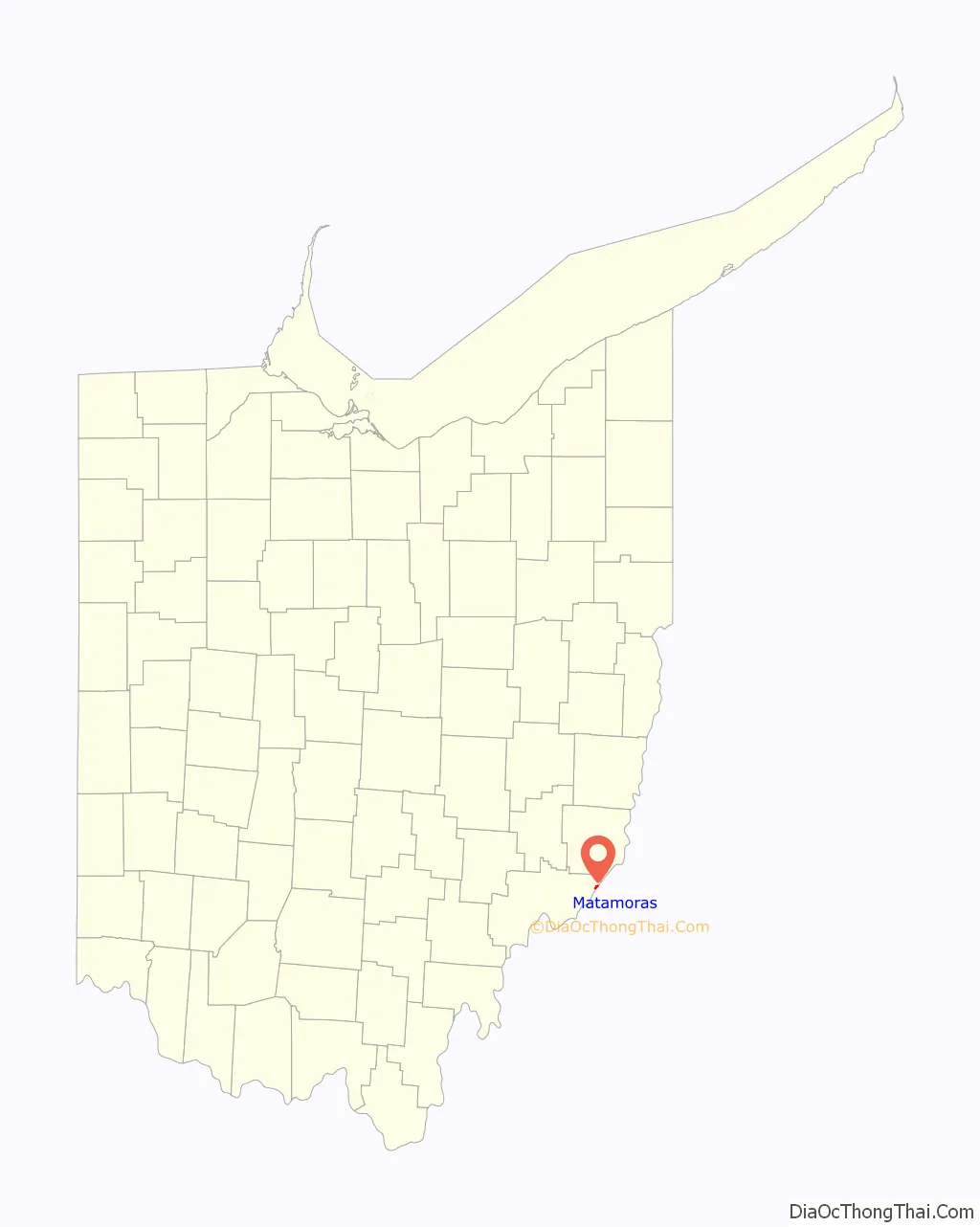
Matamoras location map. Where is Matamoras village?

History
The Matamoras vicinity was first settled in 1797 by James Riggs and his sons-in-law, Martin and Anthony Sheets, along with their families. Riggs and his family cleared the land and built three cabins in the area. Many of the first settlers were Revolutionary War veterans.
Matamoras, named for the Battle of Matamoros in the Mexican–American War, was platted in 1846 by Stinson Burris and Henry Sheets. In 1861, Matamoras was incorporated and received its first post office that year. The U.S. Post Office changed the town’s name to New Matamoras to avoid confusion with Metamora in Fulton County.
Once a boom town for shipping, Matamoras has been supported economically by farming and oil.
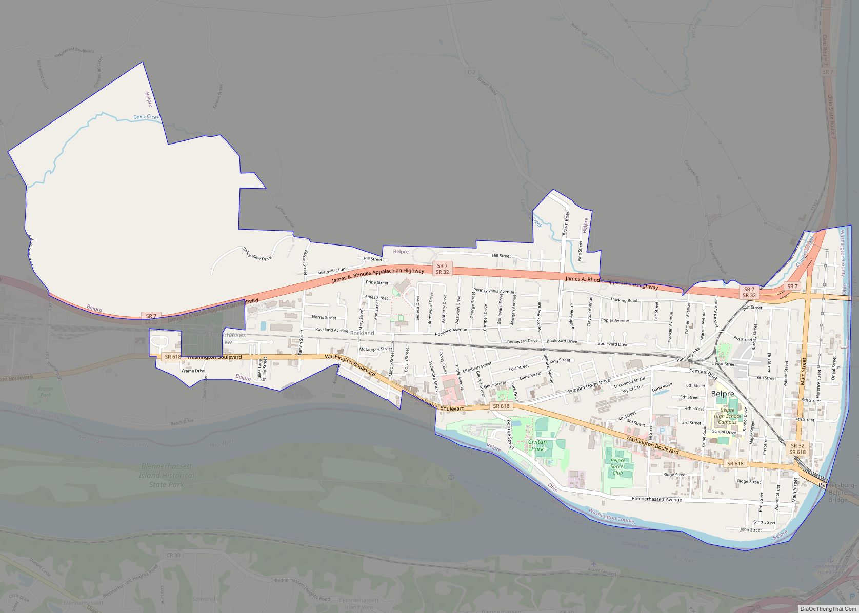
Matamoras Road Map
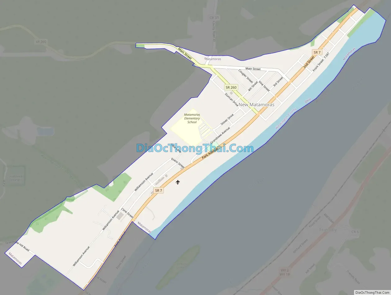
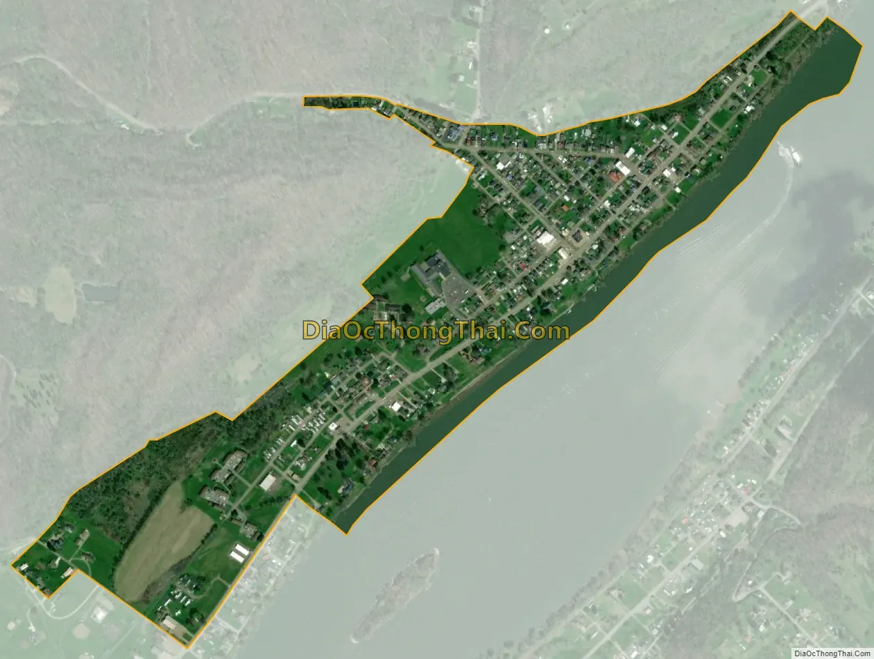
Matamoras city Satellite Map
Geography
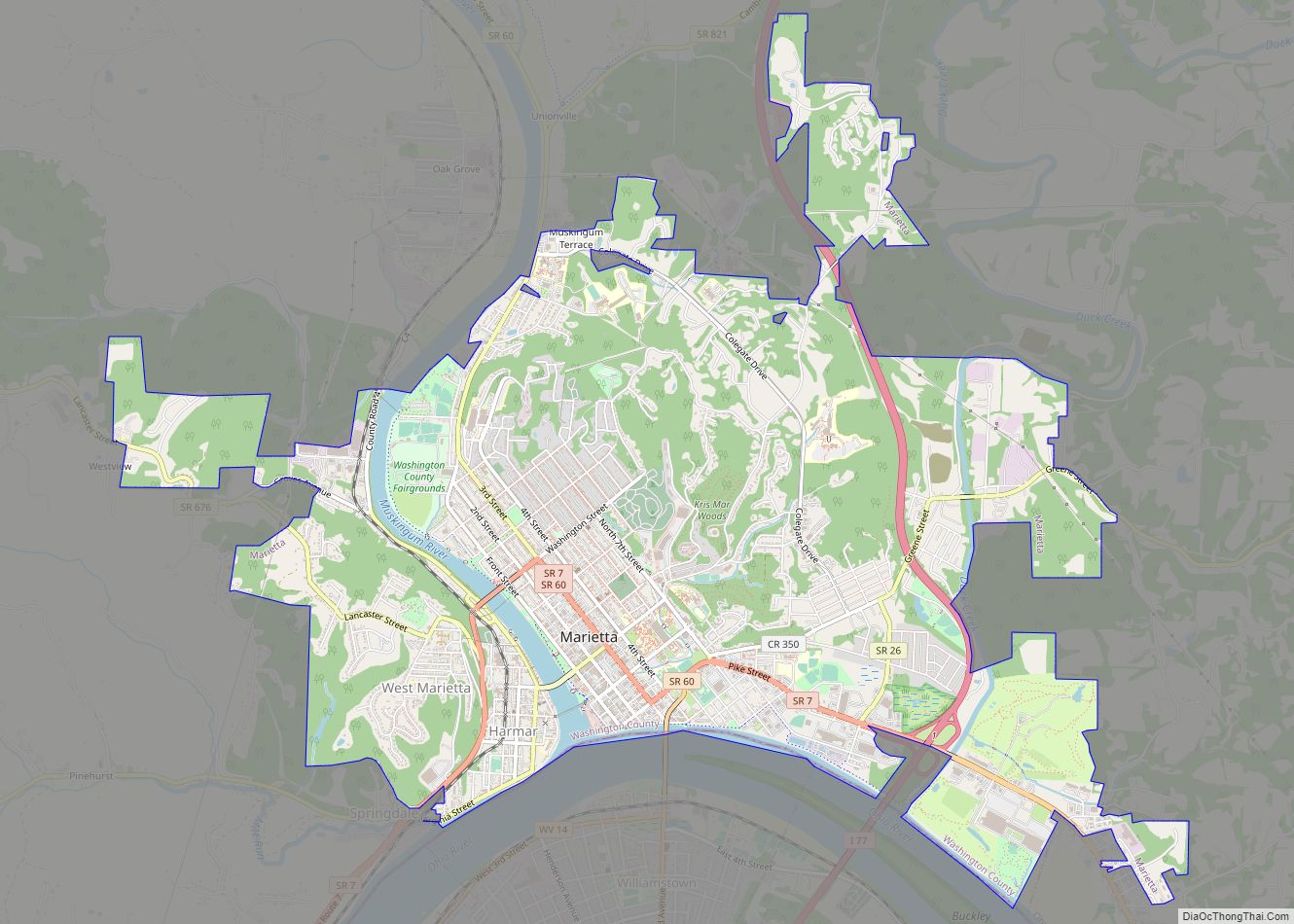
Matamoras is an Ohio River town, approximately 20 miles east of Marietta; directly across the Ohio River from Friendly, West Virginia. Matamoras is south of Wayne National Forest. The town’s longitude and latitude are: 39°31′21″N 81°3′54″W / 39.52250°N 81.06500°W / 39.52250; -81.06500 (39.522451, -81.065084).
According to the United States Census Bureau, the village has a total area of 0.39 square miles (1.01 km), of which 0.35 square miles (0.91 km) is land and 0.04 square miles (0.10 km) is water.
See also
Map of Ohio State and its subdivision:- Adams
- Allen
- Ashland
- Ashtabula
- Athens
- Auglaize
- Belmont
- Brown
- Butler
- Carroll
- Champaign
- Clark
- Clermont
- Clinton
- Columbiana
- Coshocton
- Crawford
- Cuyahoga
- Darke
- Defiance
- Delaware
- Erie
- Fairfield
- Fayette
- Franklin
- Fulton
- Gallia
- Geauga
- Greene
- Guernsey
- Hamilton
- Hancock
- Hardin
- Harrison
- Henry
- Highland
- Hocking
- Holmes
- Huron
- Jackson
- Jefferson
- Knox
- Lake
- Lake Erie
- Lawrence
- Licking
- Logan
- Lorain
- Lucas
- Madison
- Mahoning
- Marion
- Medina
- Meigs
- Mercer
- Miami
- Monroe
- Montgomery
- Morgan
- Morrow
- Muskingum
- Noble
- Ottawa
- Paulding
- Perry
- Pickaway
- Pike
- Portage
- Preble
- Putnam
- Richland
- Ross
- Sandusky
- Scioto
- Seneca
- Shelby
- Stark
- Summit
- Trumbull
- Tuscarawas
- Union
- Van Wert
- Vinton
- Warren
- Washington
- Wayne
- Williams
- Wood
- Wyandot
- Alabama
- Alaska
- Arizona
- Arkansas
- California
- Colorado
- Connecticut
- Delaware
- District of Columbia
- Florida
- Georgia
- Hawaii
- Idaho
- Illinois
- Indiana
- Iowa
- Kansas
- Kentucky
- Louisiana
- Maine
- Maryland
- Massachusetts
- Michigan
- Minnesota
- Mississippi
- Missouri
- Montana
- Nebraska
- Nevada
- New Hampshire
- New Jersey
- New Mexico
- New York
- North Carolina
- North Dakota
- Ohio
- Oklahoma
- Oregon
- Pennsylvania
- Rhode Island
- South Carolina
- South Dakota
- Tennessee
- Texas
- Utah
- Vermont
- Virginia
- Washington
- West Virginia
- Wisconsin
- Wyoming