Middleburg Heights is a city and a suburb of Cleveland in Cuyahoga County, Ohio, United States. It is a suburb about 11 miles (18 km) southwest of downtown Cleveland. The population was 16,004 at the 2020 census.
| Name: | Middleburg Heights city |
|---|---|
| LSAD Code: | 25 |
| LSAD Description: | city (suffix) |
| State: | Ohio |
| County: | Cuyahoga County |
| Elevation: | 853 ft (260 m) |
| Total Area: | 8.07 sq mi (20.91 km²) |
| Land Area: | 8.06 sq mi (20.88 km²) |
| Water Area: | 0.01 sq mi (0.03 km²) |
| Total Population: | 16,004 |
| Population Density: | 1,984.87/sq mi (766.37/km²) |
| ZIP code: | 44130 |
| Area code: | 440 216 |
| FIPS code: | 3949644 |
| GNISfeature ID: | 1048974 |
| Website: | www.middleburgheights.com |
Online Interactive Map
Click on ![]() to view map in "full screen" mode.
to view map in "full screen" mode.
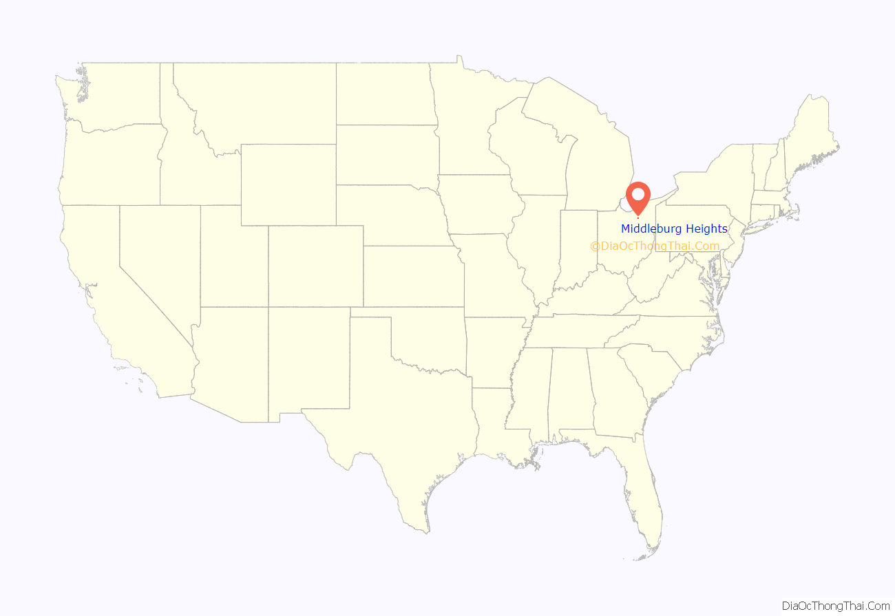
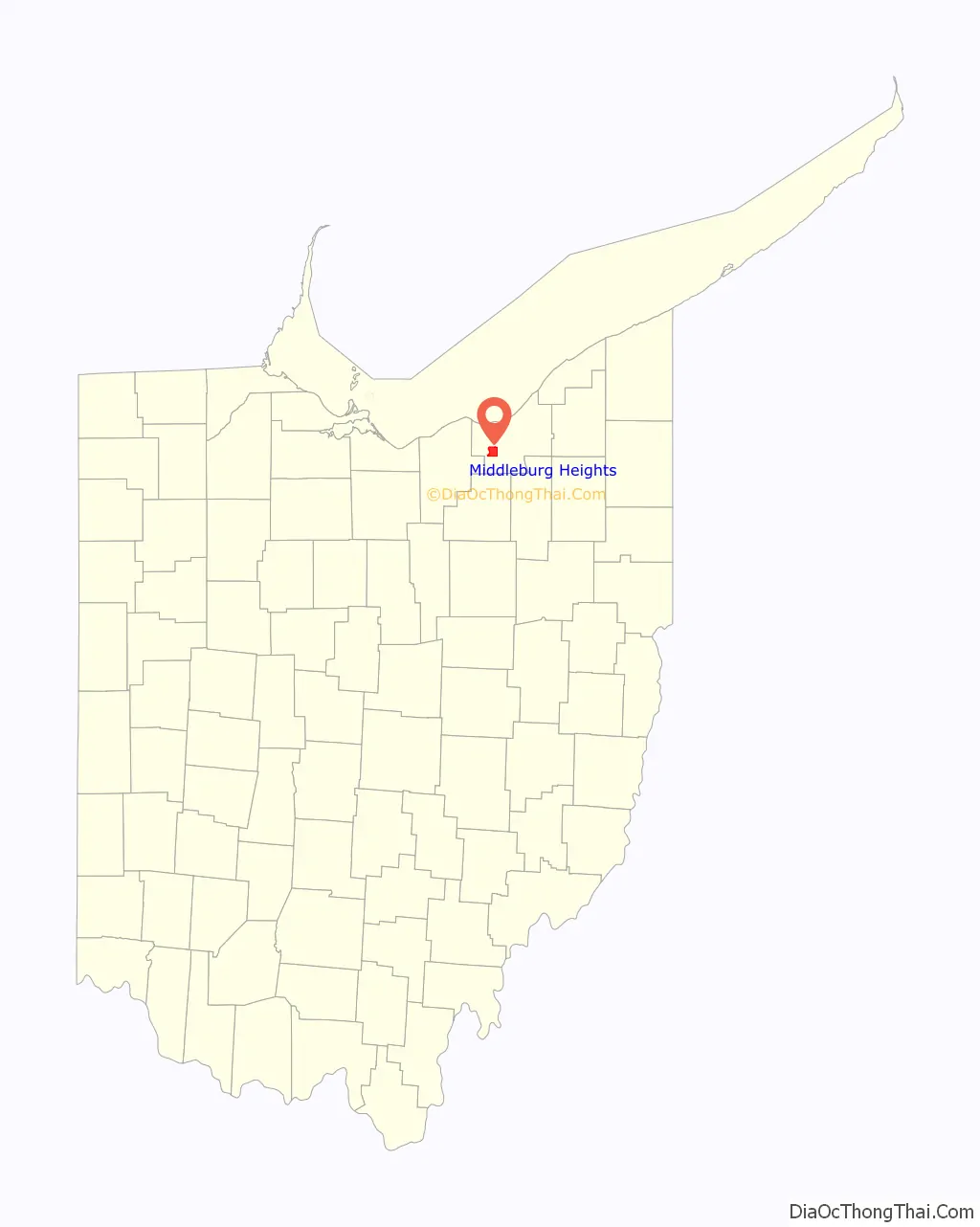
Middleburg Heights location map. Where is Middleburg Heights city?
History
Middleburg Heights is part of the historic Connecticut Western Reserve, which the State of Connecticut “Reserved” for their own purposes when in 1786 Connecticut relinquished claim to some of its western lands and ceded them to the new Federal Government. The first European settlers to the area that became Middleburg Township were Jared Hickcox and his family. They were originally from Waterbury, Connecticut.
The Village of Middleburg Heights was established in 1928.
According to the United States Census Bureau, the city has a total area of 8.08 square miles (20.93 km), of which 8.07 square miles (20.90 km) is land and 0.01 square miles (0.03 km) is water.
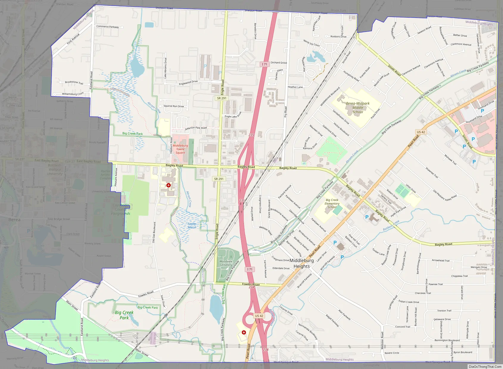
Middleburg Heights Road Map
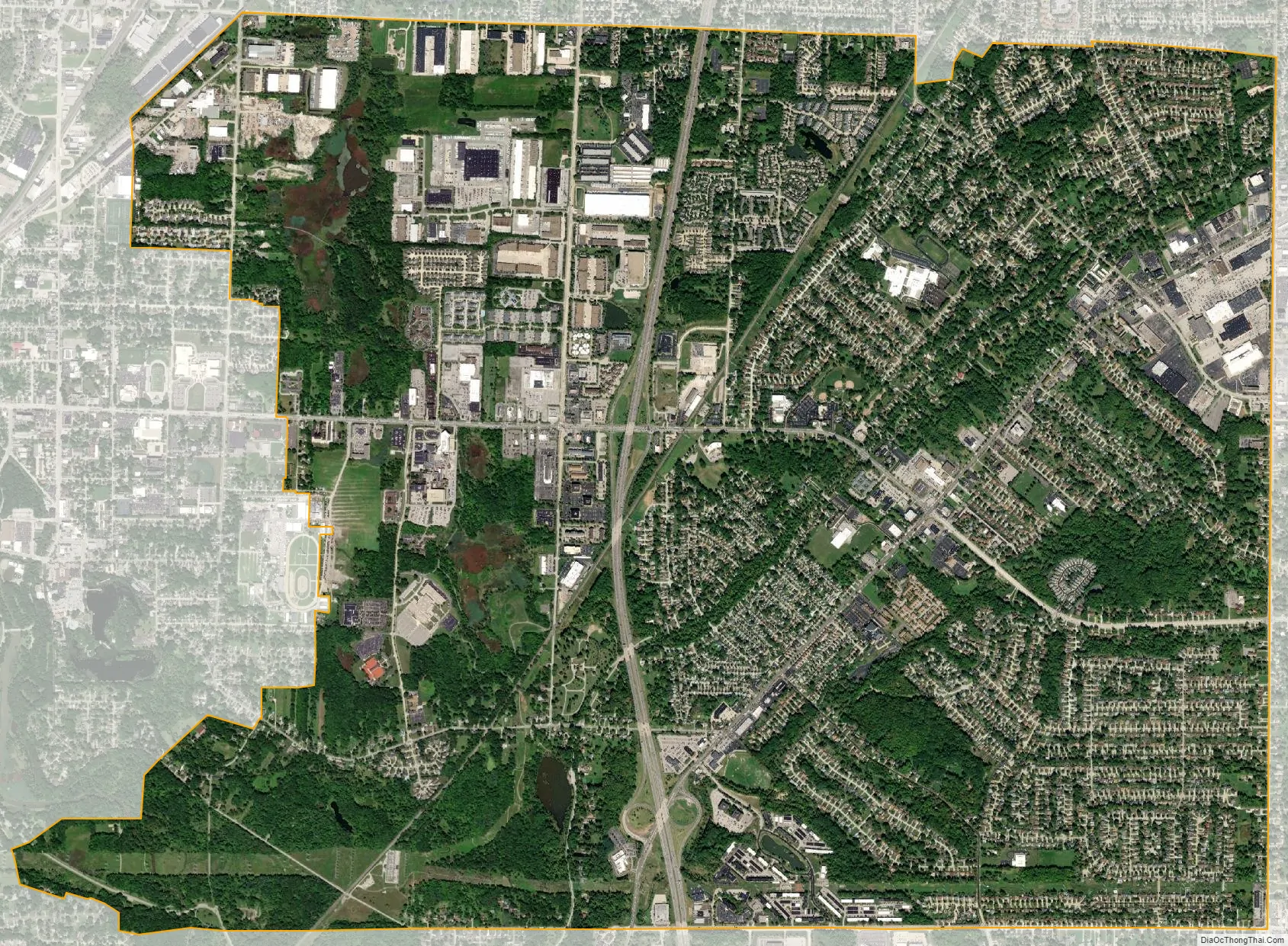
Middleburg Heights city Satellite Map
Geography
Middleburg Heights is located in the southwesterly portion of the Cleveland metropolitan area along US Route 42 approximately 11 miles (18 km) southwest of downtown Cleveland at 41°22′0″N 81°48′32″W / 41.36667°N 81.80889°W / 41.36667; -81.80889 (41.366725, -81.808893).
See also
Map of Ohio State and its subdivision:- Adams
- Allen
- Ashland
- Ashtabula
- Athens
- Auglaize
- Belmont
- Brown
- Butler
- Carroll
- Champaign
- Clark
- Clermont
- Clinton
- Columbiana
- Coshocton
- Crawford
- Cuyahoga
- Darke
- Defiance
- Delaware
- Erie
- Fairfield
- Fayette
- Franklin
- Fulton
- Gallia
- Geauga
- Greene
- Guernsey
- Hamilton
- Hancock
- Hardin
- Harrison
- Henry
- Highland
- Hocking
- Holmes
- Huron
- Jackson
- Jefferson
- Knox
- Lake
- Lake Erie
- Lawrence
- Licking
- Logan
- Lorain
- Lucas
- Madison
- Mahoning
- Marion
- Medina
- Meigs
- Mercer
- Miami
- Monroe
- Montgomery
- Morgan
- Morrow
- Muskingum
- Noble
- Ottawa
- Paulding
- Perry
- Pickaway
- Pike
- Portage
- Preble
- Putnam
- Richland
- Ross
- Sandusky
- Scioto
- Seneca
- Shelby
- Stark
- Summit
- Trumbull
- Tuscarawas
- Union
- Van Wert
- Vinton
- Warren
- Washington
- Wayne
- Williams
- Wood
- Wyandot
- Alabama
- Alaska
- Arizona
- Arkansas
- California
- Colorado
- Connecticut
- Delaware
- District of Columbia
- Florida
- Georgia
- Hawaii
- Idaho
- Illinois
- Indiana
- Iowa
- Kansas
- Kentucky
- Louisiana
- Maine
- Maryland
- Massachusetts
- Michigan
- Minnesota
- Mississippi
- Missouri
- Montana
- Nebraska
- Nevada
- New Hampshire
- New Jersey
- New Mexico
- New York
- North Carolina
- North Dakota
- Ohio
- Oklahoma
- Oregon
- Pennsylvania
- Rhode Island
- South Carolina
- South Dakota
- Tennessee
- Texas
- Utah
- Vermont
- Virginia
- Washington
- West Virginia
- Wisconsin
- Wyoming


