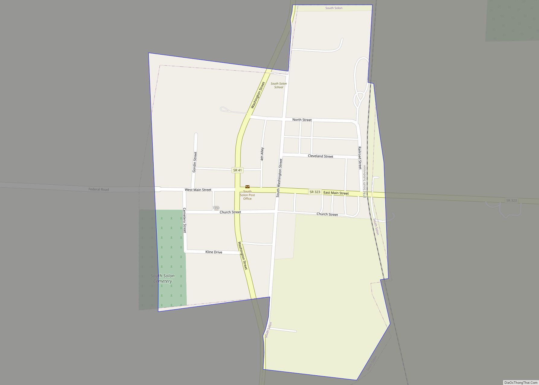
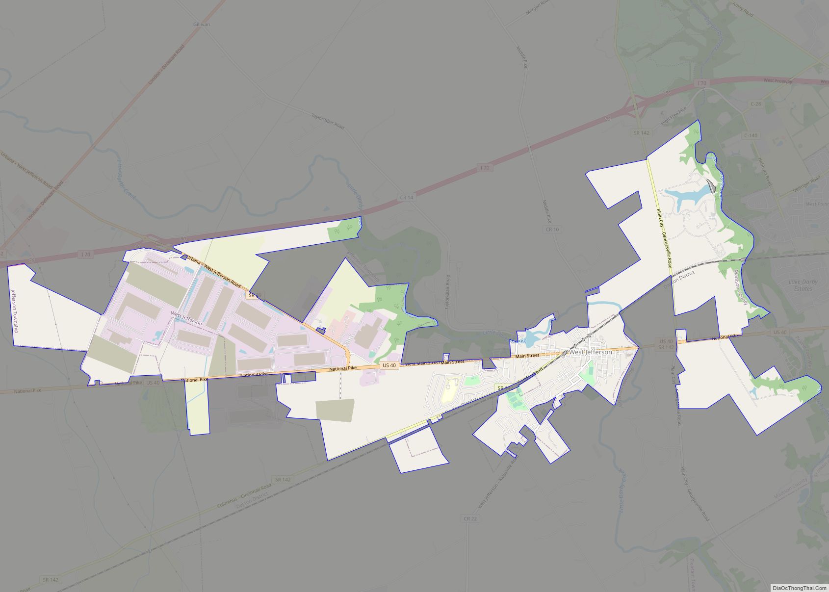
Midway (also called Sedalia) is a village in Range Township, Madison County, Ohio, United States. The population was 322 at the 2010 census.
Midway is also called “Sedalia” by some sources. Addresses with its ZIP code, 43151, are officially located in Sedalia.
| Name: | Midway village |
|---|---|
| LSAD Code: | 47 |
| LSAD Description: | village (suffix) |
| State: | Ohio |
| County: | Madison County |
| Elevation: | 1,063 ft (324 m) |
| Total Area: | 0.26 sq mi (0.67 km²) |
| Land Area: | 0.26 sq mi (0.67 km²) |
| Water Area: | 0.00 sq mi (0.00 km²) |
| Total Population: | 269 |
| Population Density: | 1,034.62/sq mi (399.81/km²) |
| FIPS code: | 3950008 |
| GNISfeature ID: | 1057845 |
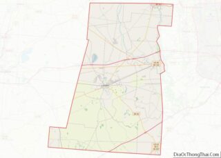
Online Interactive Map
Click on ![]() to view map in "full screen" mode.
to view map in "full screen" mode.
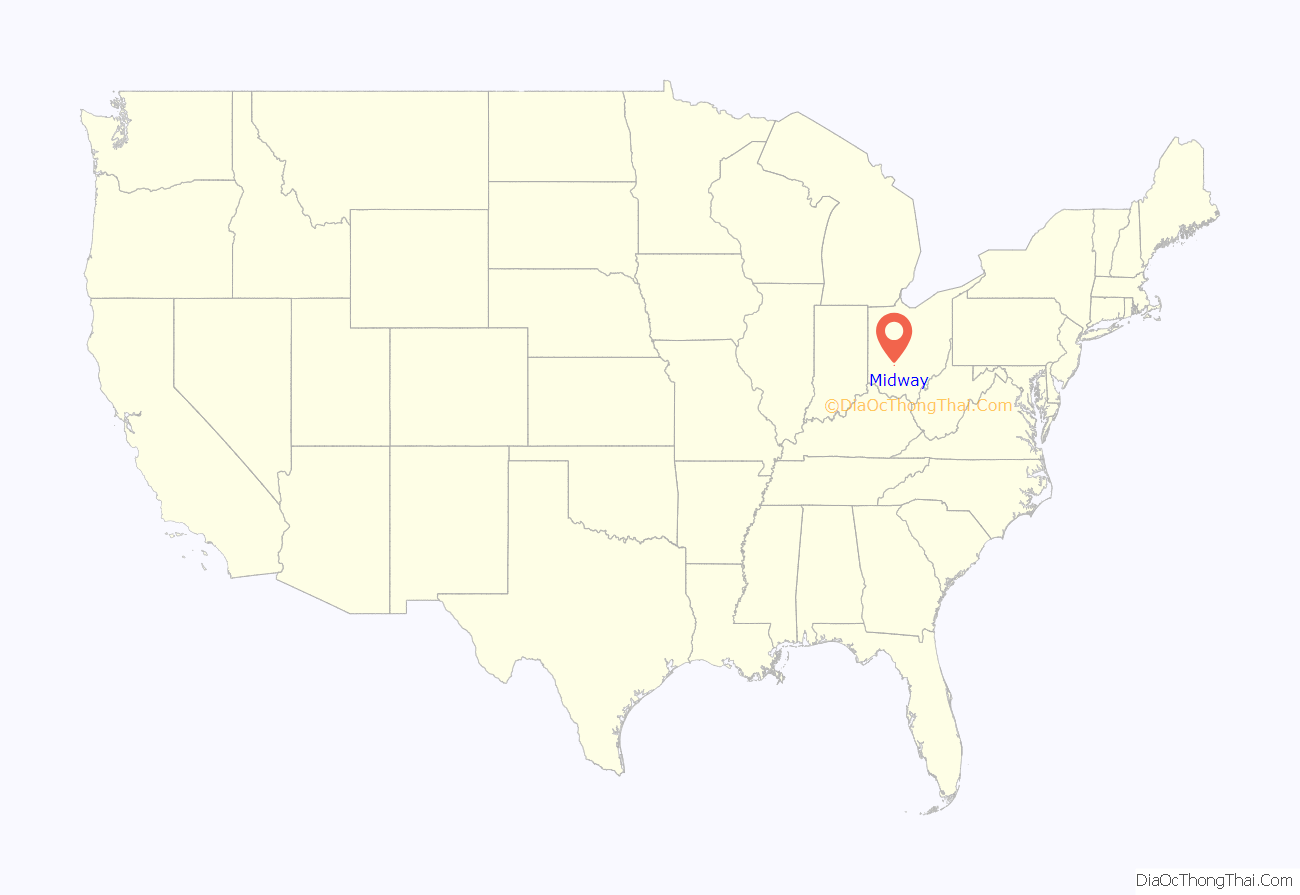
Midway location map. Where is Midway village?
History
Midway was laid out by F. Thompson and William Morris, and recorded June 13, 1830. The community was named Midway because it was the half-way point on a cattle route between Chicago, Illinois and Philadelphia, Pennsylvania. As of 1875, the community contained two churches, three dry goods stores, one hotel, one blacksmith shop, one wagon shop, one shoe shop, one physician, and the population was 250. The town was named for its location halfway between Philadelphia and Chicago.
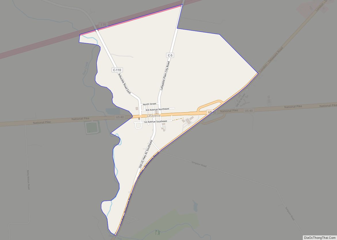
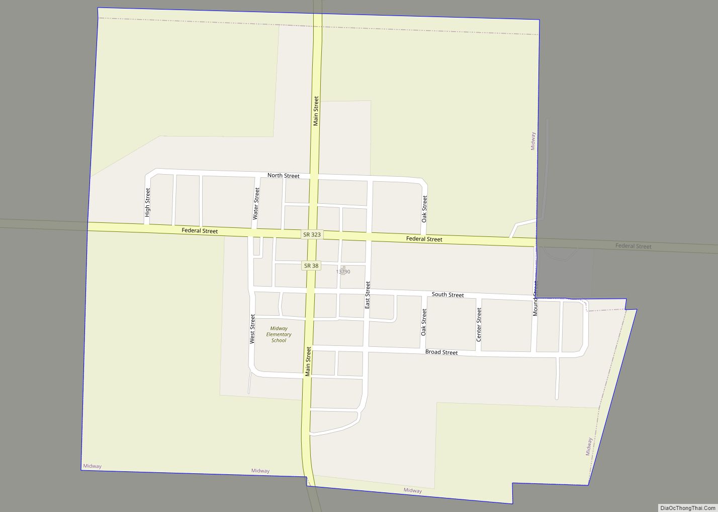
Midway Road Map
Midway city Satellite Map
Geography
Midway is located at 39°43′57″N 83°28′33″W / 39.73250°N 83.47583°W / 39.73250; -83.47583 (39.732474, -83.475870), at the intersection of Ohio State Routes 38 and 323.
According to the United States Census Bureau, the village has a total area of 0.29 square miles (0.75 km), all land.
See also
Map of Ohio State and its subdivision:- Adams
- Allen
- Ashland
- Ashtabula
- Athens
- Auglaize
- Belmont
- Brown
- Butler
- Carroll
- Champaign
- Clark
- Clermont
- Clinton
- Columbiana
- Coshocton
- Crawford
- Cuyahoga
- Darke
- Defiance
- Delaware
- Erie
- Fairfield
- Fayette
- Franklin
- Fulton
- Gallia
- Geauga
- Greene
- Guernsey
- Hamilton
- Hancock
- Hardin
- Harrison
- Henry
- Highland
- Hocking
- Holmes
- Huron
- Jackson
- Jefferson
- Knox
- Lake
- Lake Erie
- Lawrence
- Licking
- Logan
- Lorain
- Lucas
- Madison
- Mahoning
- Marion
- Medina
- Meigs
- Mercer
- Miami
- Monroe
- Montgomery
- Morgan
- Morrow
- Muskingum
- Noble
- Ottawa
- Paulding
- Perry
- Pickaway
- Pike
- Portage
- Preble
- Putnam
- Richland
- Ross
- Sandusky
- Scioto
- Seneca
- Shelby
- Stark
- Summit
- Trumbull
- Tuscarawas
- Union
- Van Wert
- Vinton
- Warren
- Washington
- Wayne
- Williams
- Wood
- Wyandot
- Alabama
- Alaska
- Arizona
- Arkansas
- California
- Colorado
- Connecticut
- Delaware
- District of Columbia
- Florida
- Georgia
- Hawaii
- Idaho
- Illinois
- Indiana
- Iowa
- Kansas
- Kentucky
- Louisiana
- Maine
- Maryland
- Massachusetts
- Michigan
- Minnesota
- Mississippi
- Missouri
- Montana
- Nebraska
- Nevada
- New Hampshire
- New Jersey
- New Mexico
- New York
- North Carolina
- North Dakota
- Ohio
- Oklahoma
- Oregon
- Pennsylvania
- Rhode Island
- South Carolina
- South Dakota
- Tennessee
- Texas
- Utah
- Vermont
- Virginia
- Washington
- West Virginia
- Wisconsin
- Wyoming
