Millbury is a village in Wood County, Ohio, United States. The population was 1,200 at the 2010 census.
| Name: | Millbury village |
|---|---|
| LSAD Code: | 47 |
| LSAD Description: | village (suffix) |
| State: | Ohio |
| County: | Wood County |
| Elevation: | 614 ft (187 m) |
| Total Area: | 1.00 sq mi (2.58 km²) |
| Land Area: | 1.00 sq mi (2.58 km²) |
| Water Area: | 0.00 sq mi (0.00 km²) |
| Total Population: | 1,193 |
| Population Density: | 1,197.79/sq mi (462.41/km²) |
| ZIP code: | 43447 |
| Area code: | 419 |
| FIPS code: | 3950260 |
| GNISfeature ID: | 1065468 |
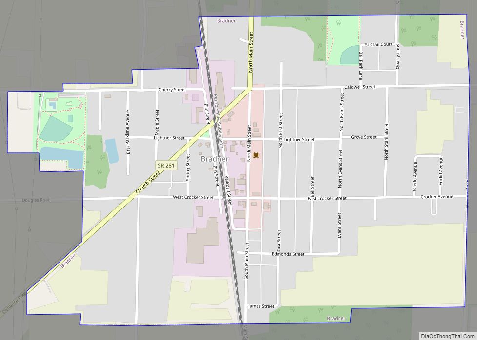
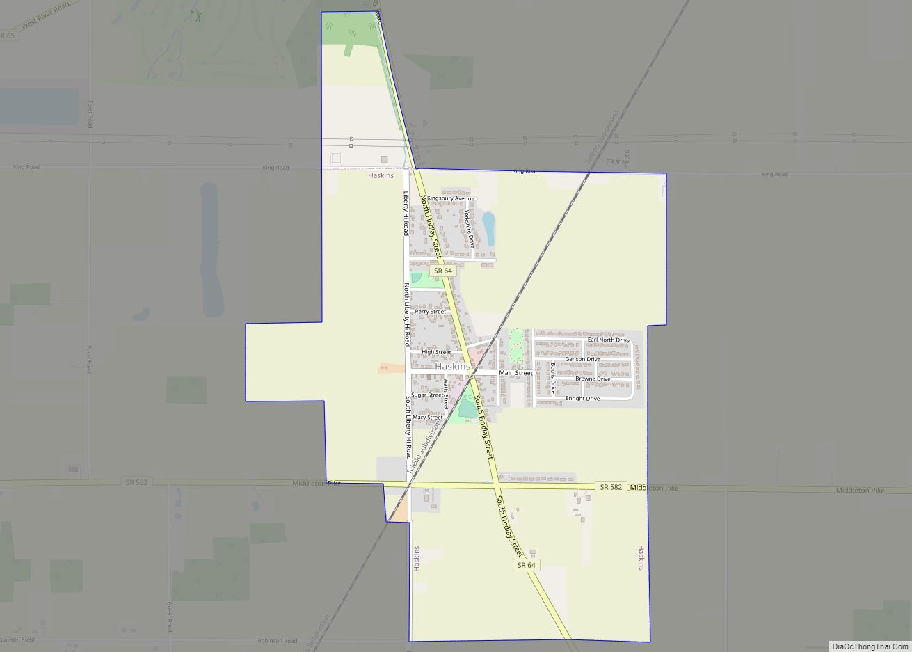
Online Interactive Map
Click on ![]() to view map in "full screen" mode.
to view map in "full screen" mode.
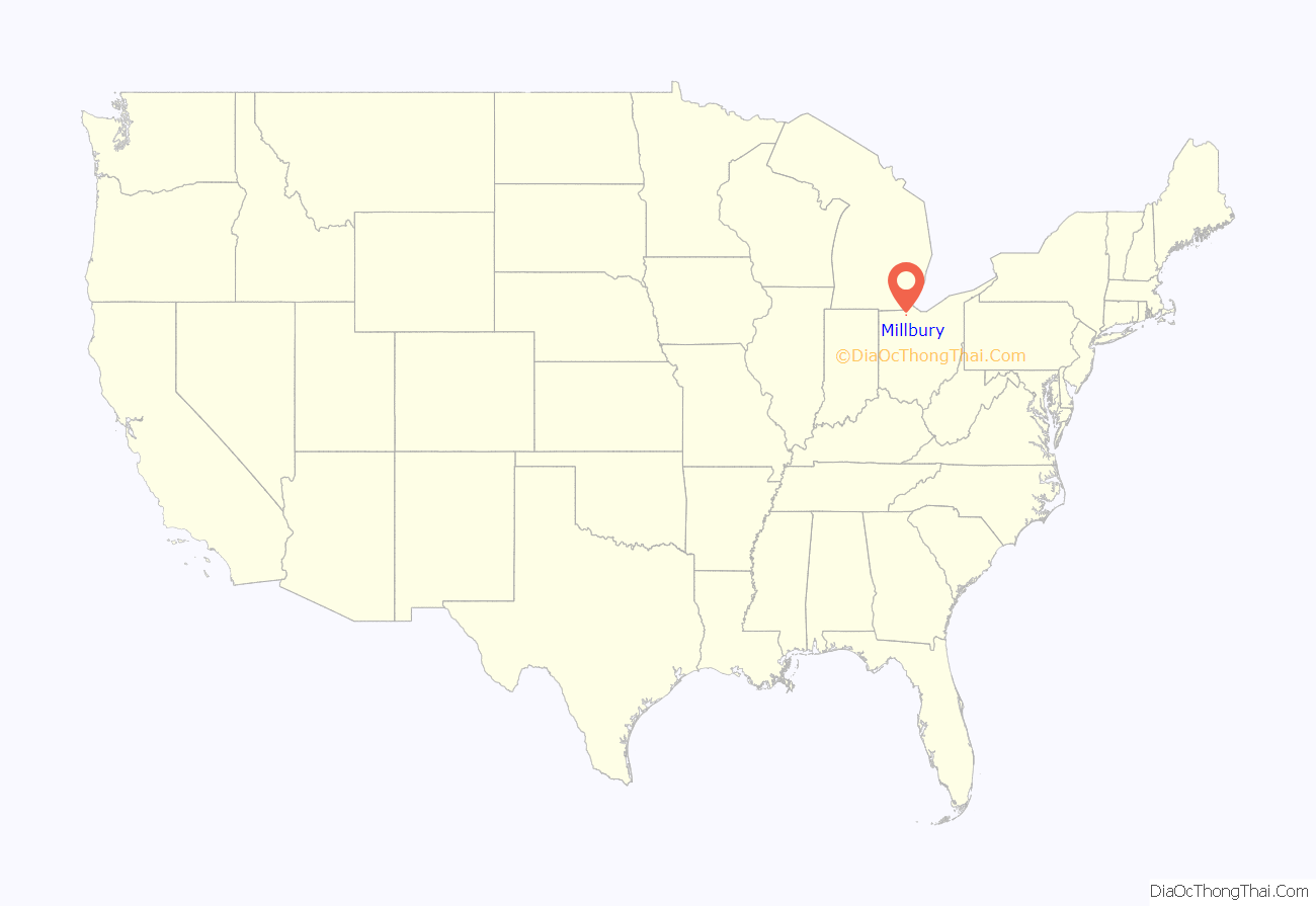
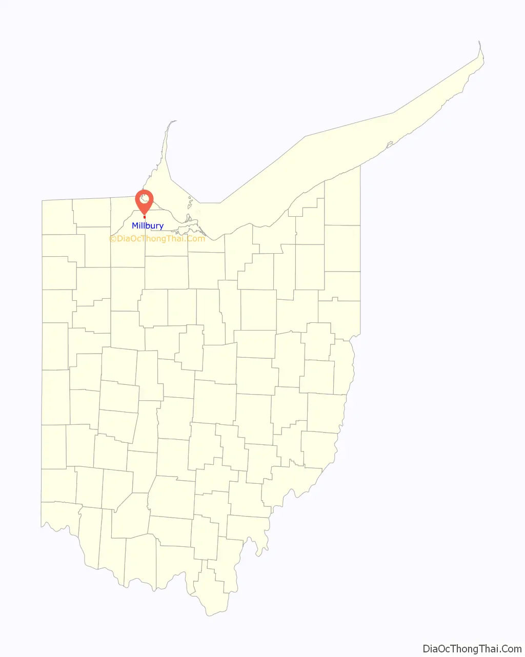
Millbury location map. Where is Millbury village?
History
Previously, the site of Millbury was known as Clay Junction. Millbury was platted in 1864, and named after Millbury, Massachusetts. A post office called Millbury has been in operation since 1857. Millbury was incorporated in 1874.
2010 tornado
At approximately 11:15 PM on June 5, 2010, an EF4 tornado tore through the town, destroying at least 50 homes and killing seven people. This tornado also destroyed the Lake Township Administration Building and Police Department, and Lake High School. Governor Ted Strickland declared a state of emergency.
Millbury Road Map
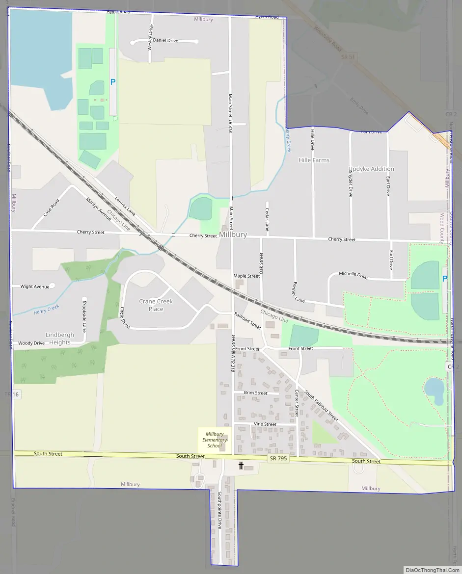
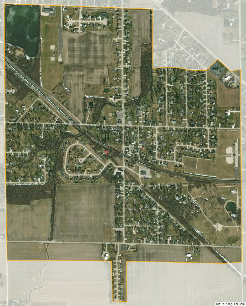
Millbury city Satellite Map
Geography
Millbury is located at 41°33′50″N 83°25′27″W / 41.56389°N 83.42417°W / 41.56389; -83.42417 (41.563950, -83.424028).
According to the United States Census Bureau, the village has a total area of 1.00 square mile (2.59 km), all land.
See also
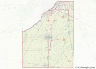
Map of Ohio State and its subdivision:- Adams
- Allen
- Ashland
- Ashtabula
- Athens
- Auglaize
- Belmont
- Brown
- Butler
- Carroll
- Champaign
- Clark
- Clermont
- Clinton
- Columbiana
- Coshocton
- Crawford
- Cuyahoga
- Darke
- Defiance
- Delaware
- Erie
- Fairfield
- Fayette
- Franklin
- Fulton
- Gallia
- Geauga
- Greene
- Guernsey
- Hamilton
- Hancock
- Hardin
- Harrison
- Henry
- Highland
- Hocking
- Holmes
- Huron
- Jackson
- Jefferson
- Knox
- Lake
- Lake Erie
- Lawrence
- Licking
- Logan
- Lorain
- Lucas
- Madison
- Mahoning
- Marion
- Medina
- Meigs
- Mercer
- Miami
- Monroe
- Montgomery
- Morgan
- Morrow
- Muskingum
- Noble
- Ottawa
- Paulding
- Perry
- Pickaway
- Pike
- Portage
- Preble
- Putnam
- Richland
- Ross
- Sandusky
- Scioto
- Seneca
- Shelby
- Stark
- Summit
- Trumbull
- Tuscarawas
- Union
- Van Wert
- Vinton
- Warren
- Washington
- Wayne
- Williams
- Wood
- Wyandot
- Alabama
- Alaska
- Arizona
- Arkansas
- California
- Colorado
- Connecticut
- Delaware
- District of Columbia
- Florida
- Georgia
- Hawaii
- Idaho
- Illinois
- Indiana
- Iowa
- Kansas
- Kentucky
- Louisiana
- Maine
- Maryland
- Massachusetts
- Michigan
- Minnesota
- Mississippi
- Missouri
- Montana
- Nebraska
- Nevada
- New Hampshire
- New Jersey
- New Mexico
- New York
- North Carolina
- North Dakota
- Ohio
- Oklahoma
- Oregon
- Pennsylvania
- Rhode Island
- South Carolina
- South Dakota
- Tennessee
- Texas
- Utah
- Vermont
- Virginia
- Washington
- West Virginia
- Wisconsin
- Wyoming