Millersport is a village in Fairfield County, Ohio, United States. The population was 1,044 at the 2010 census. Millersport is most notable as the home of the Sweet Corn Festival, which is held in Millersport annually during the first week of September.
| Name: | Millersport village |
|---|---|
| LSAD Code: | 47 |
| LSAD Description: | village (suffix) |
| State: | Ohio |
| County: | Fairfield County |
| Elevation: | 899 ft (274 m) |
| Total Area: | 0.96 sq mi (2.49 km²) |
| Land Area: | 0.93 sq mi (2.41 km²) |
| Water Area: | 0.03 sq mi (0.08 km²) |
| Total Population: | 978 |
| Population Density: | 1,051.61/sq mi (405.99/km²) |
| ZIP code: | 43046 |
| Area code: | 740 |
| FIPS code: | 3950400 |
| GNISfeature ID: | 1043380 |
| Website: | www.millersportohio.com |
Online Interactive Map
Click on ![]() to view map in "full screen" mode.
to view map in "full screen" mode.
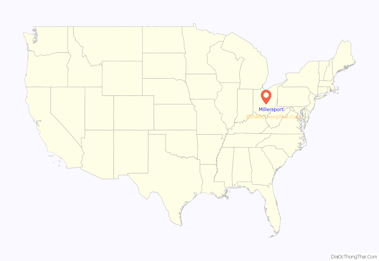
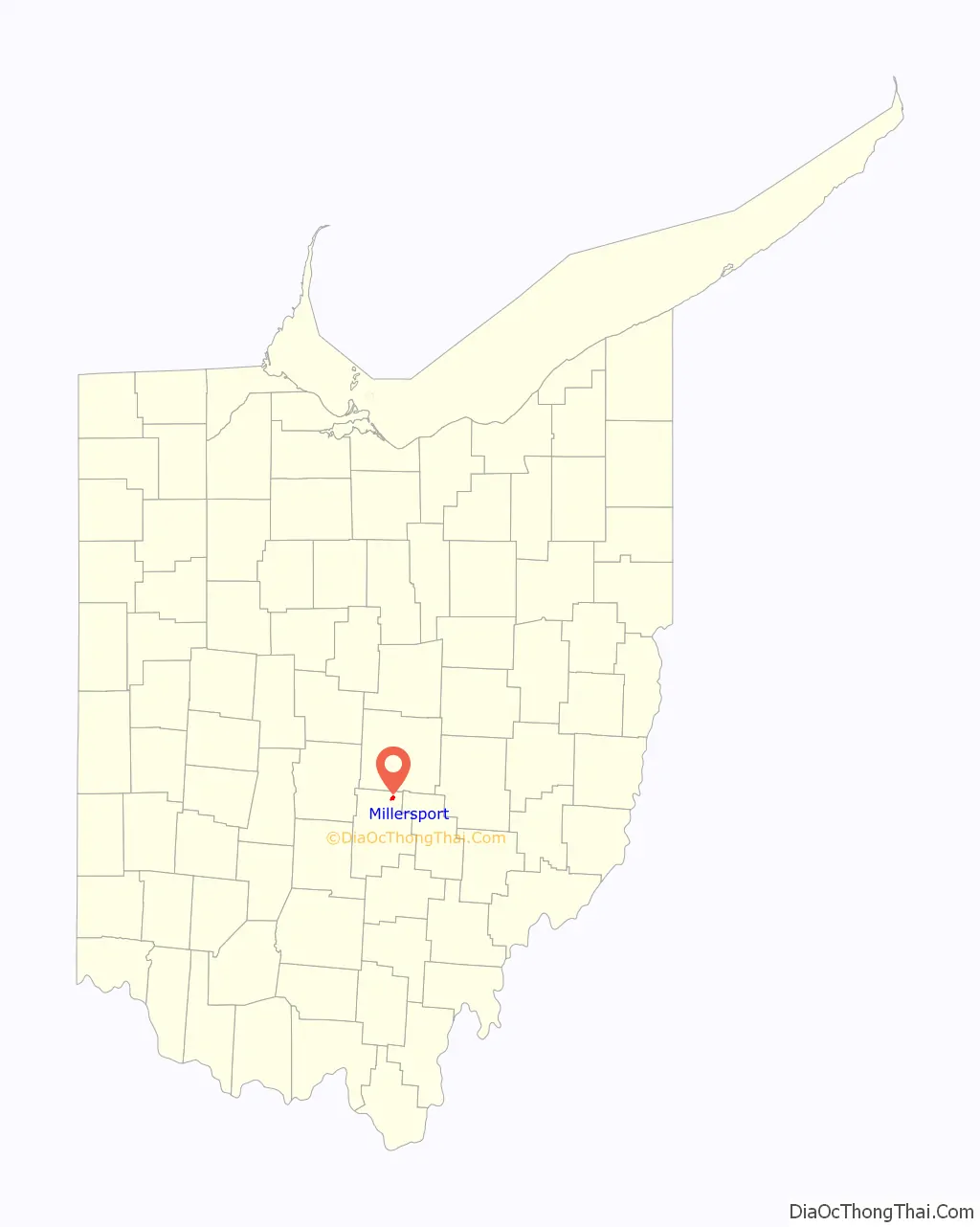
Millersport location map. Where is Millersport village?
History
Millersport was laid out in 1825 by Mathias Miller, and named for him. A post office called Millersport has been in operation since 1839.
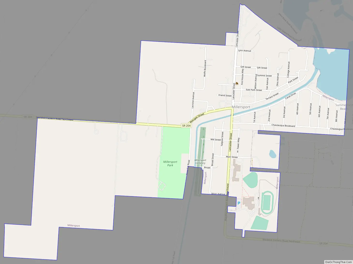
Millersport Road Map
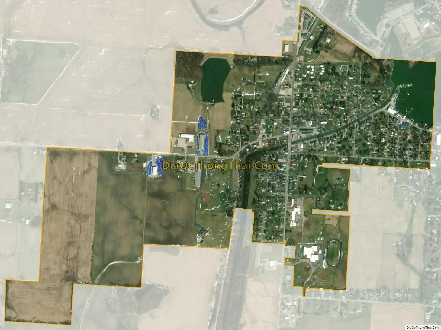
Millersport city Satellite Map
Geography
Millersport is located at 39°54′1″N 82°31′57″W / 39.90028°N 82.53250°W / 39.90028; -82.53250 (39.900205, -82.532500).
According to the United States Census Bureau, the village has a total area of 0.90 square miles (2.33 km), of which 0.87 square miles (2.25 km) is land and 0.03 square miles (0.08 km) is water.
See also
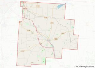
Map of Ohio State and its subdivision:- Adams
- Allen
- Ashland
- Ashtabula
- Athens
- Auglaize
- Belmont
- Brown
- Butler
- Carroll
- Champaign
- Clark
- Clermont
- Clinton
- Columbiana
- Coshocton
- Crawford
- Cuyahoga
- Darke
- Defiance
- Delaware
- Erie
- Fairfield
- Fayette
- Franklin
- Fulton
- Gallia
- Geauga
- Greene
- Guernsey
- Hamilton
- Hancock
- Hardin
- Harrison
- Henry
- Highland
- Hocking
- Holmes
- Huron
- Jackson
- Jefferson
- Knox
- Lake
- Lake Erie
- Lawrence
- Licking
- Logan
- Lorain
- Lucas
- Madison
- Mahoning
- Marion
- Medina
- Meigs
- Mercer
- Miami
- Monroe
- Montgomery
- Morgan
- Morrow
- Muskingum
- Noble
- Ottawa
- Paulding
- Perry
- Pickaway
- Pike
- Portage
- Preble
- Putnam
- Richland
- Ross
- Sandusky
- Scioto
- Seneca
- Shelby
- Stark
- Summit
- Trumbull
- Tuscarawas
- Union
- Van Wert
- Vinton
- Warren
- Washington
- Wayne
- Williams
- Wood
- Wyandot
- Alabama
- Alaska
- Arizona
- Arkansas
- California
- Colorado
- Connecticut
- Delaware
- District of Columbia
- Florida
- Georgia
- Hawaii
- Idaho
- Illinois
- Indiana
- Iowa
- Kansas
- Kentucky
- Louisiana
- Maine
- Maryland
- Massachusetts
- Michigan
- Minnesota
- Mississippi
- Missouri
- Montana
- Nebraska
- Nevada
- New Hampshire
- New Jersey
- New Mexico
- New York
- North Carolina
- North Dakota
- Ohio
- Oklahoma
- Oregon
- Pennsylvania
- Rhode Island
- South Carolina
- South Dakota
- Tennessee
- Texas
- Utah
- Vermont
- Virginia
- Washington
- West Virginia
- Wisconsin
- Wyoming