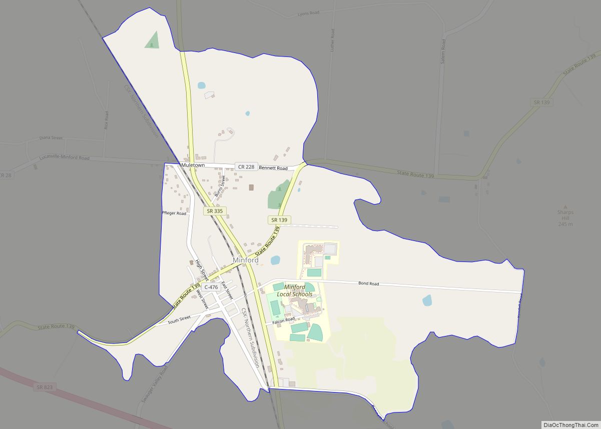
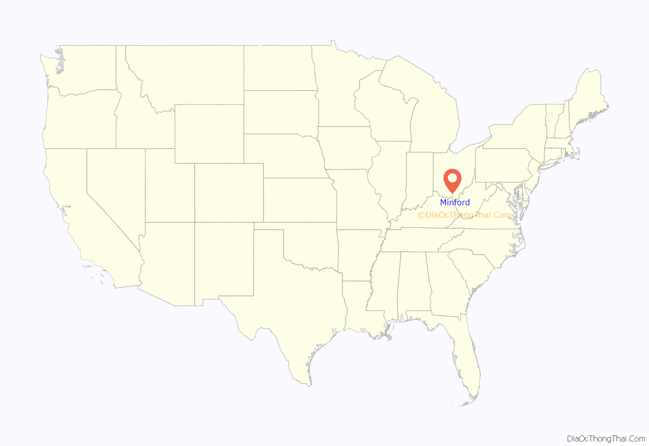
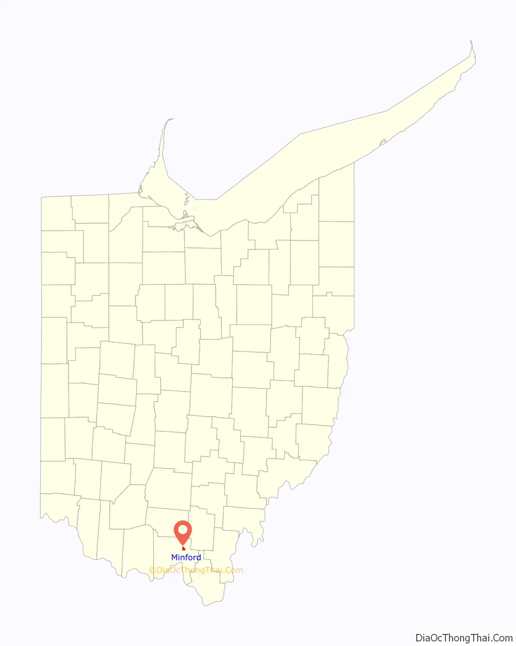
Minford is a census-designated place located on the border of Harrison and Madison townships in northeastern Scioto County, Ohio, United States, about 14 miles (23 km) northeast of the county seat of Portsmouth. As of the 2010 census, it had a population of 693.
| Name: | Minford CDP |
|---|---|
| LSAD Code: | 57 |
| LSAD Description: | CDP (suffix) |
| State: | Ohio |
| County: | Scioto County |
| Total Area: | 1.75 sq mi (4.53 km²) |
| Land Area: | 1.74 sq mi (4.52 km²) |
| Water Area: | 0.01 sq mi (0.01 km²) |
| Total Population: | 641 |
| Population Density: | 367.76/sq mi (141.95/km²) |
| ZIP code: | 45653 |
| Area code: | 740 |
| FIPS code: | 3950876 |
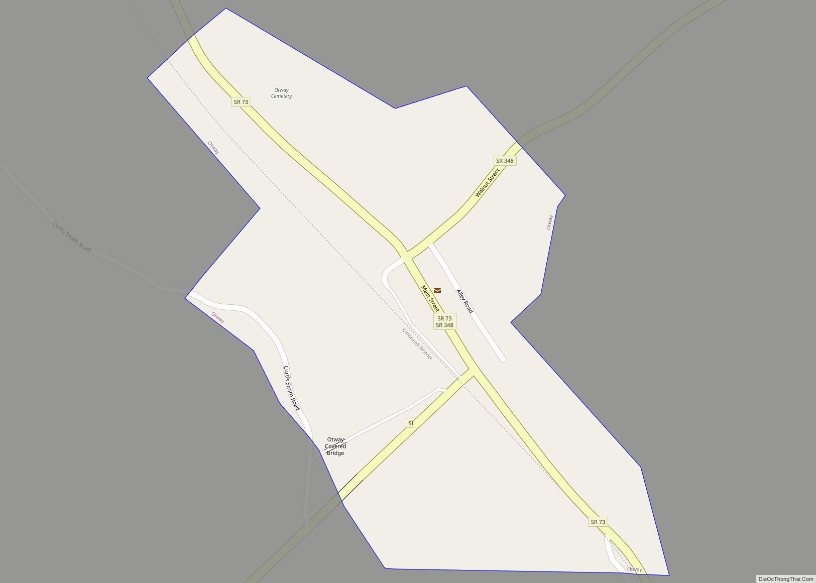
Online Interactive Map
Click on ![]() to view map in "full screen" mode.
to view map in "full screen" mode.
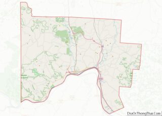
Minford location map. Where is Minford CDP?
History
The community was originally formed as Harrisonville in 1859, but its name was changed to Minford in 1917 due to the construction of the C&O Railroad, as there was another town along the railroad already named Harrisonville. The present name is in honor of the local Minford family.
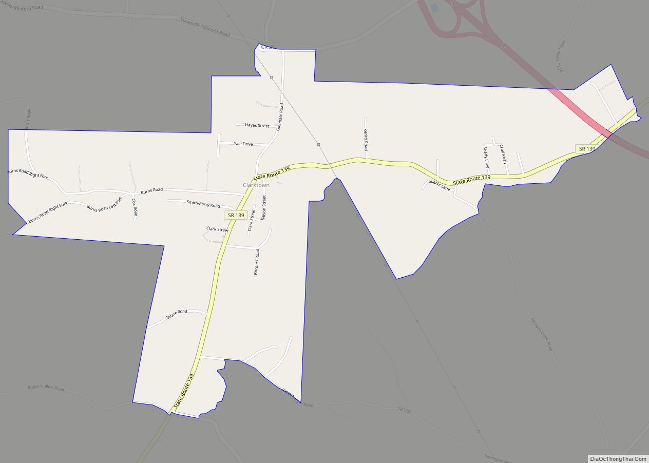
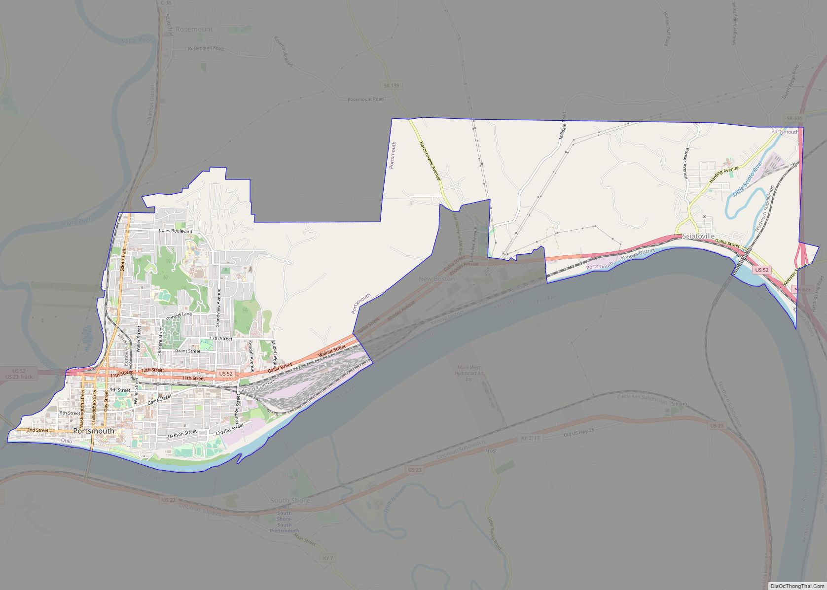
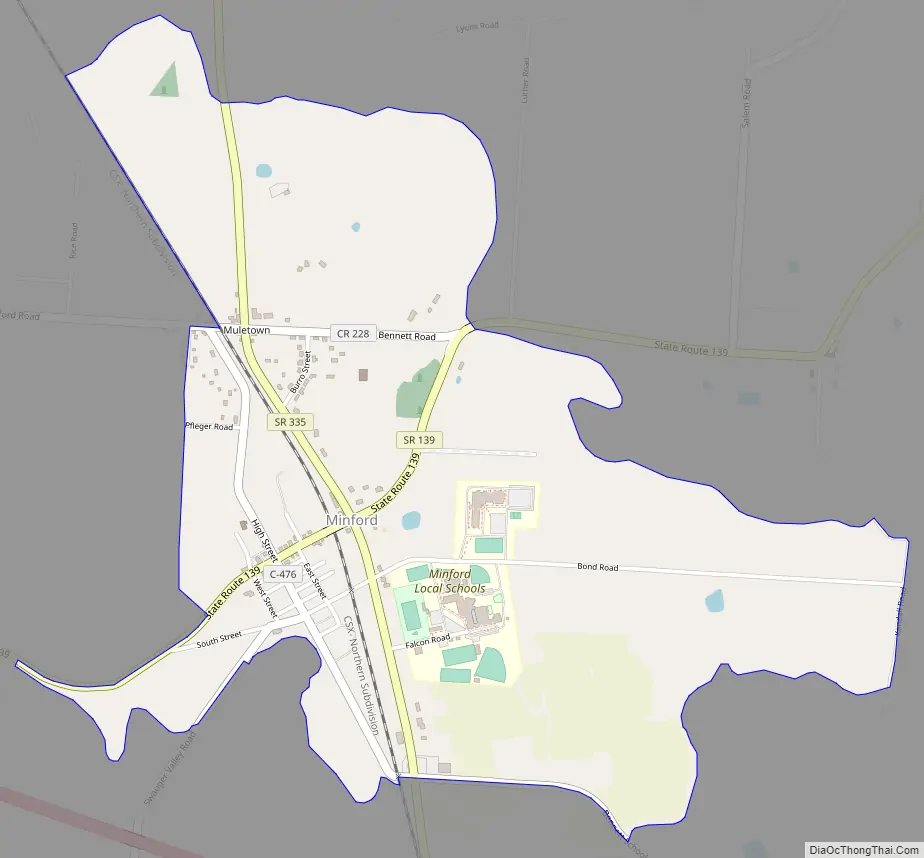
Minford Road Map
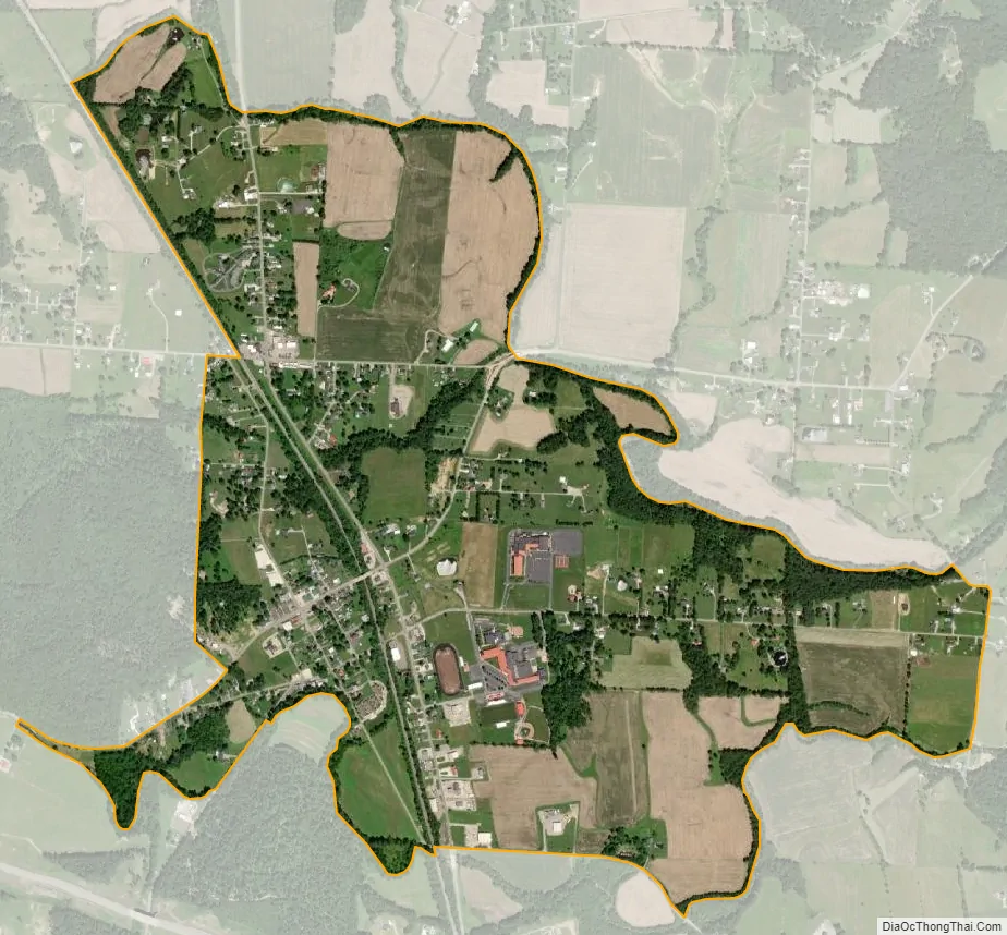
Minford city Satellite Map
Geography
Physical geography
Minford is situated in rolling hills of the Appalachian Plateau and the Unglaciated Allegheny Plateau. These Appalachian foothills of southeastern Ohio, especially in nearby Shawnee State Park and Forest, have been nicknamed the “Little Smokies”.
Rivers
The Little Scioto River runs adjacent (east) of Minford and continues southward through the Minford area toward Sciotoville where it flows into the Ohio River.
Climate
The area consists of deciduous forests and is within the ecoregion of Appalachian mixed mesophytic forests.
Being located in extreme southern Ohio, approximately 7 miles (11 km) from the Ohio River and Ohio-Kentucky border, the climate of Minford lies in the transitional/borderline region of two climate zones, the humid continental climate and the humid subtropical climate. However, the climate is closer to the humid continental climate.
Minford’s weather is characterized by warm humid summers, cold wet winters, with brisk temperate spring and fall seasons. Rainfall amounts peak in late spring through summer (May to August).
Coordinates and distance to cities
Minford is located at 38°51′32″N 82°51′44″W / 38.85889°N 82.86222°W / 38.85889; -82.86222, which is approximately 14 miles (23 km) northeast of Portsmouth, 45 miles (72 km) northwest of Huntington, West Virginia, and about 90 miles (140 km) south of Columbus.
Location and referencing
The center of Minford is located at the junction of State Route 335 and State Route 139. However, the Minford Local School District covers most of Madison and Harrison townships, including places of different ZIP codes.
Zip codes
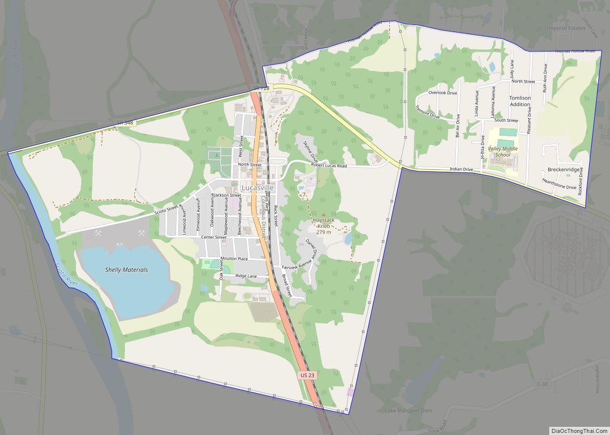
Minford’s post office has the ZIP code of 45653. Other ZIP codes in Harrison and Madison Townships include 45648 (Lucasville), 45662 (Portsmouth), and 45694 (Wheelersburg).
See also
Map of Ohio State and its subdivision:- Adams
- Allen
- Ashland
- Ashtabula
- Athens
- Auglaize
- Belmont
- Brown
- Butler
- Carroll
- Champaign
- Clark
- Clermont
- Clinton
- Columbiana
- Coshocton
- Crawford
- Cuyahoga
- Darke
- Defiance
- Delaware
- Erie
- Fairfield
- Fayette
- Franklin
- Fulton
- Gallia
- Geauga
- Greene
- Guernsey
- Hamilton
- Hancock
- Hardin
- Harrison
- Henry
- Highland
- Hocking
- Holmes
- Huron
- Jackson
- Jefferson
- Knox
- Lake
- Lake Erie
- Lawrence
- Licking
- Logan
- Lorain
- Lucas
- Madison
- Mahoning
- Marion
- Medina
- Meigs
- Mercer
- Miami
- Monroe
- Montgomery
- Morgan
- Morrow
- Muskingum
- Noble
- Ottawa
- Paulding
- Perry
- Pickaway
- Pike
- Portage
- Preble
- Putnam
- Richland
- Ross
- Sandusky
- Scioto
- Seneca
- Shelby
- Stark
- Summit
- Trumbull
- Tuscarawas
- Union
- Van Wert
- Vinton
- Warren
- Washington
- Wayne
- Williams
- Wood
- Wyandot
- Alabama
- Alaska
- Arizona
- Arkansas
- California
- Colorado
- Connecticut
- Delaware
- District of Columbia
- Florida
- Georgia
- Hawaii
- Idaho
- Illinois
- Indiana
- Iowa
- Kansas
- Kentucky
- Louisiana
- Maine
- Maryland
- Massachusetts
- Michigan
- Minnesota
- Mississippi
- Missouri
- Montana
- Nebraska
- Nevada
- New Hampshire
- New Jersey
- New Mexico
- New York
- North Carolina
- North Dakota
- Ohio
- Oklahoma
- Oregon
- Pennsylvania
- Rhode Island
- South Carolina
- South Dakota
- Tennessee
- Texas
- Utah
- Vermont
- Virginia
- Washington
- West Virginia
- Wisconsin
- Wyoming