Montgomery is a city in Hamilton County, Ohio, United States, settled in 1795. The town was a coach stop on the Cincinnati-Zanesville Road, later known as the Montgomery Pike, with an inn, two taverns, a grist mill and a carding mill to process its agricultural products. It would remain a rather sleepy hamlet until the 1960s when it became an affluent bedroom community for people working in Cincinnati. It retains its historic downtown with many other 19th-century houses scattered throughout the community. It is currently accessed from exit 15 off Interstate 71 and exit 50 off Interstate 275, and it is the eastern terminus of the Ronald Reagan Cross County Highway about five miles northeast of the Cincinnati city line. The population was 10,853 at the 2020 census.
| Name: | Montgomery city |
|---|---|
| LSAD Code: | 25 |
| LSAD Description: | city (suffix) |
| State: | Ohio |
| County: | Hamilton County |
| Elevation: | 801 ft (244 m) |
| Total Area: | 5.32 sq mi (13.78 km²) |
| Land Area: | 5.31 sq mi (13.75 km²) |
| Water Area: | 0.01 sq mi (0.03 km²) |
| Total Population: | 10,853 |
| Population Density: | 2,045.03/sq mi (789.58/km²) |
| ZIP code: | 45242 |
| Area code: | 513 |
| FIPS code: | 3951716 |
| GNISfeature ID: | 1065047 |
| Website: | www.montgomeryohio.gov |
Online Interactive Map
Click on ![]() to view map in "full screen" mode.
to view map in "full screen" mode.
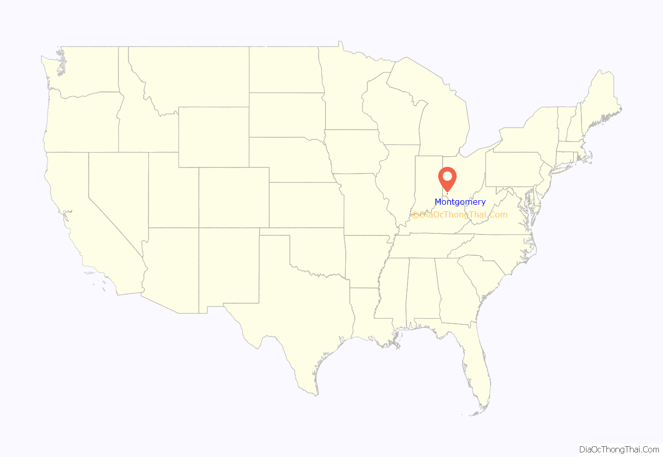
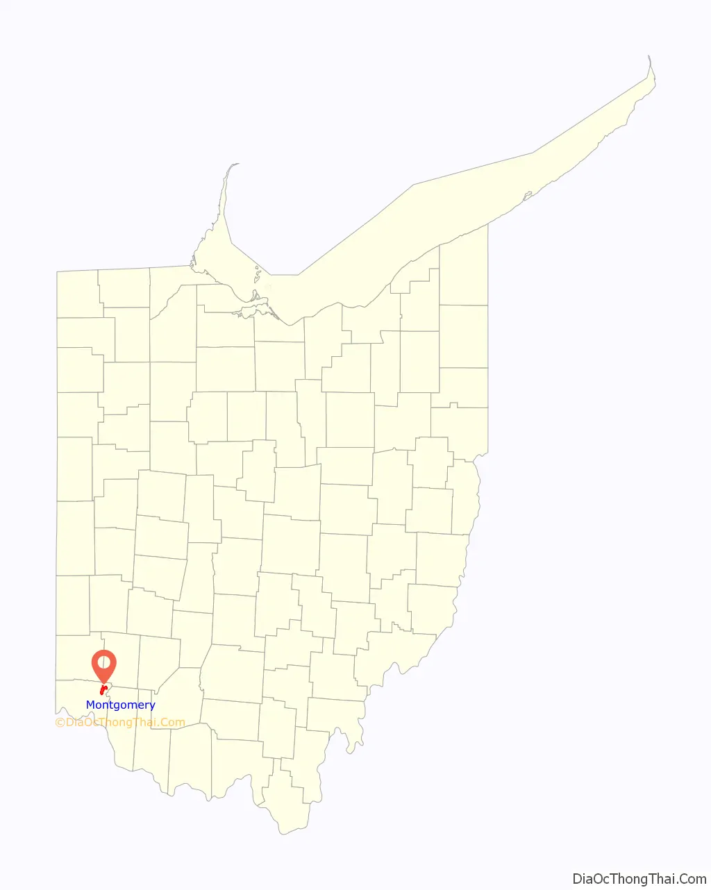
Montgomery location map. Where is Montgomery city?
History
Montgomery is one of the oldest settlements in Hamilton County, almost as old as Columbia-Tusculum. A log cabin was the first tavern of the community; this was a resting place for teamsters and travelers on the main road. In 1806-7 a number of people from Montgomery, New York settled around this point for trade and farming, and named the village for their former home. The city is home to the Montgomery Inn restaurant.
During the COVID-19 pandemic Montgomery held a “reverse parade”, setting up floats in Sycamore High School’s parking lot and having residents drive by. The event made international news.
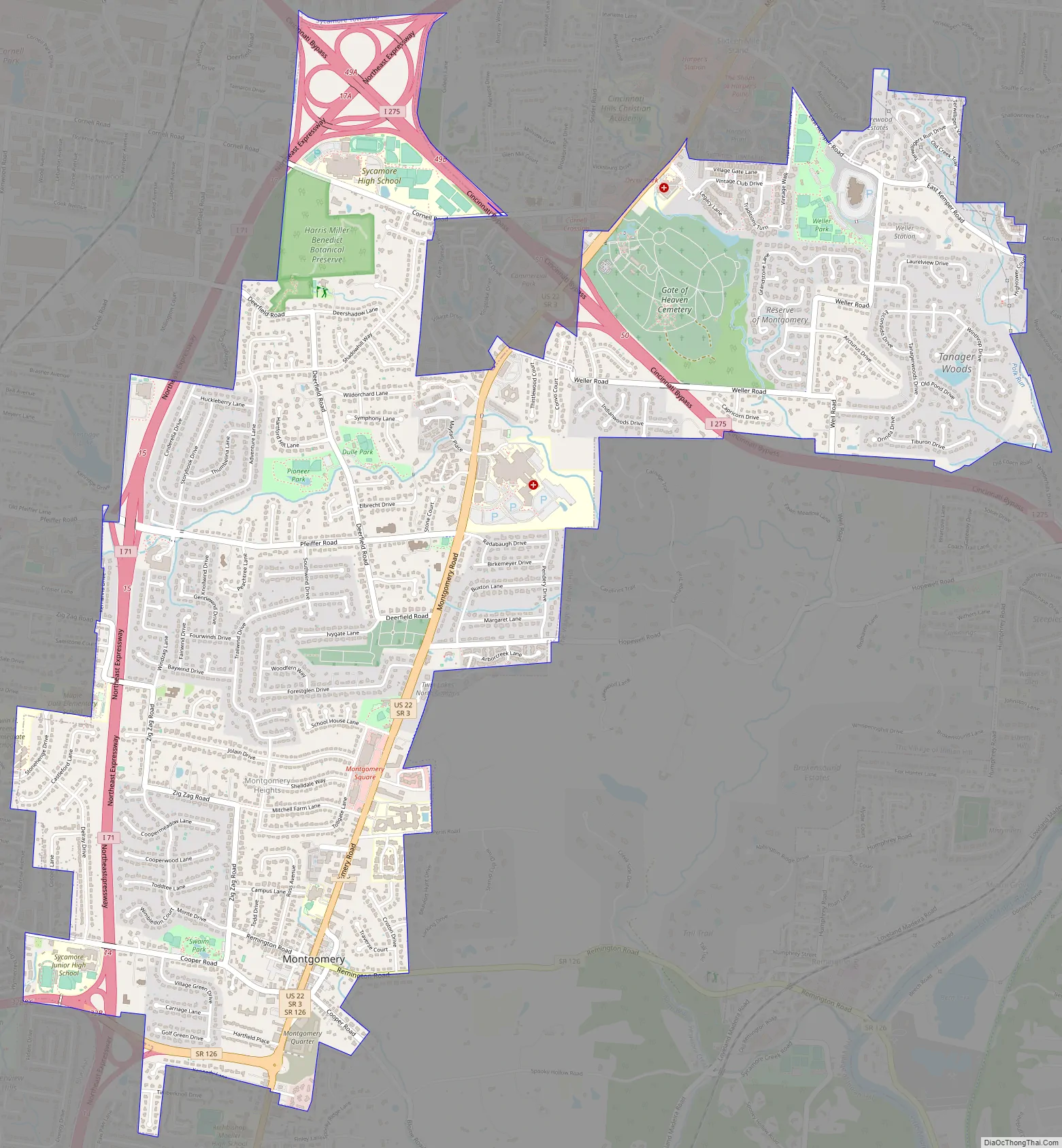
Montgomery Road Map
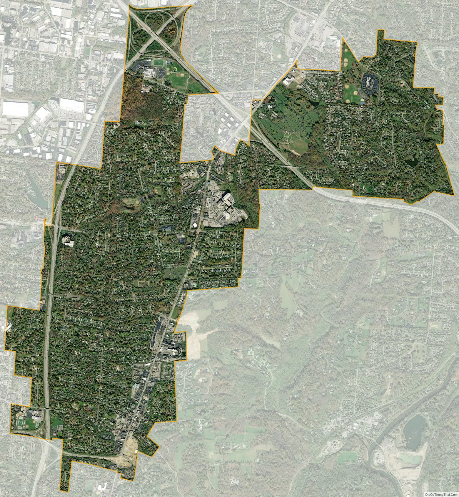
Montgomery city Satellite Map
Geography
Montgomery is located at 39°14′50″N 84°20′51″W / 39.24722°N 84.34750°W / 39.24722; -84.34750 (39.247359, -84.347556).
According to the United States Census Bureau, the city has a total area of 5.30 square miles (13.73 km), of which 5.29 square miles (13.70 km) is land and 0.01 square miles (0.03 km) is water.
See also
Map of Ohio State and its subdivision:- Adams
- Allen
- Ashland
- Ashtabula
- Athens
- Auglaize
- Belmont
- Brown
- Butler
- Carroll
- Champaign
- Clark
- Clermont
- Clinton
- Columbiana
- Coshocton
- Crawford
- Cuyahoga
- Darke
- Defiance
- Delaware
- Erie
- Fairfield
- Fayette
- Franklin
- Fulton
- Gallia
- Geauga
- Greene
- Guernsey
- Hamilton
- Hancock
- Hardin
- Harrison
- Henry
- Highland
- Hocking
- Holmes
- Huron
- Jackson
- Jefferson
- Knox
- Lake
- Lake Erie
- Lawrence
- Licking
- Logan
- Lorain
- Lucas
- Madison
- Mahoning
- Marion
- Medina
- Meigs
- Mercer
- Miami
- Monroe
- Montgomery
- Morgan
- Morrow
- Muskingum
- Noble
- Ottawa
- Paulding
- Perry
- Pickaway
- Pike
- Portage
- Preble
- Putnam
- Richland
- Ross
- Sandusky
- Scioto
- Seneca
- Shelby
- Stark
- Summit
- Trumbull
- Tuscarawas
- Union
- Van Wert
- Vinton
- Warren
- Washington
- Wayne
- Williams
- Wood
- Wyandot
- Alabama
- Alaska
- Arizona
- Arkansas
- California
- Colorado
- Connecticut
- Delaware
- District of Columbia
- Florida
- Georgia
- Hawaii
- Idaho
- Illinois
- Indiana
- Iowa
- Kansas
- Kentucky
- Louisiana
- Maine
- Maryland
- Massachusetts
- Michigan
- Minnesota
- Mississippi
- Missouri
- Montana
- Nebraska
- Nevada
- New Hampshire
- New Jersey
- New Mexico
- New York
- North Carolina
- North Dakota
- Ohio
- Oklahoma
- Oregon
- Pennsylvania
- Rhode Island
- South Carolina
- South Dakota
- Tennessee
- Texas
- Utah
- Vermont
- Virginia
- Washington
- West Virginia
- Wisconsin
- Wyoming


