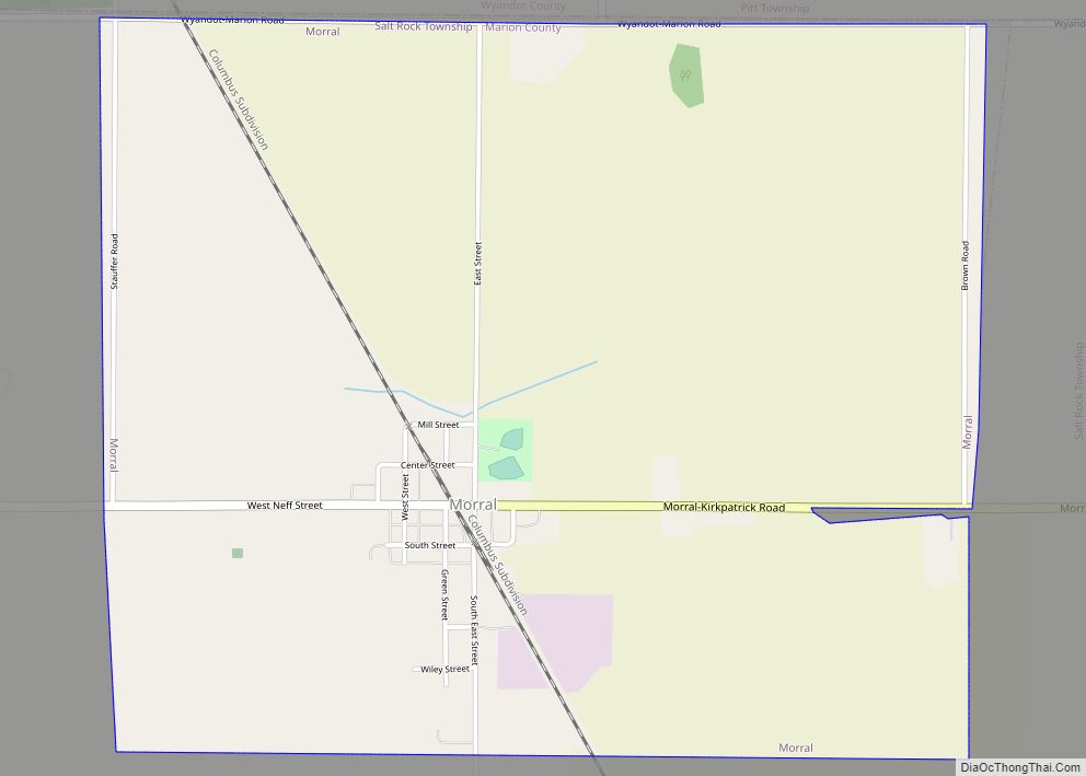
Morral is a village in Marion County, Ohio, United States. The population was 399 at the 2010 census. Morral is served by Ridgedale Local School District.
| Name: | Morral village |
|---|---|
| LSAD Code: | 47 |
| LSAD Description: | village (suffix) |
| State: | Ohio |
| County: | Marion County |
| Elevation: | 909 ft (277 m) |
| Total Area: | 2.70 sq mi (7.00 km²) |
| Land Area: | 2.70 sq mi (7.00 km²) |
| Water Area: | 0.00 sq mi (0.00 km²) |
| Total Population: | 373 |
| Population Density: | 138.10/sq mi (53.32/km²) |
| ZIP code: | 43337 |
| Area code: | 740 |
| FIPS code: | 3952276 |
| GNISfeature ID: | 1065058 |
Online Interactive Map
Click on ![]() to view map in "full screen" mode.
to view map in "full screen" mode.
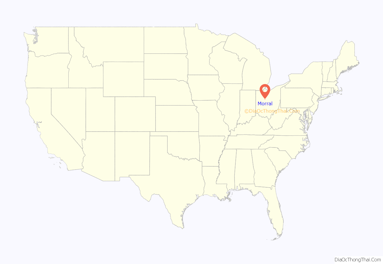
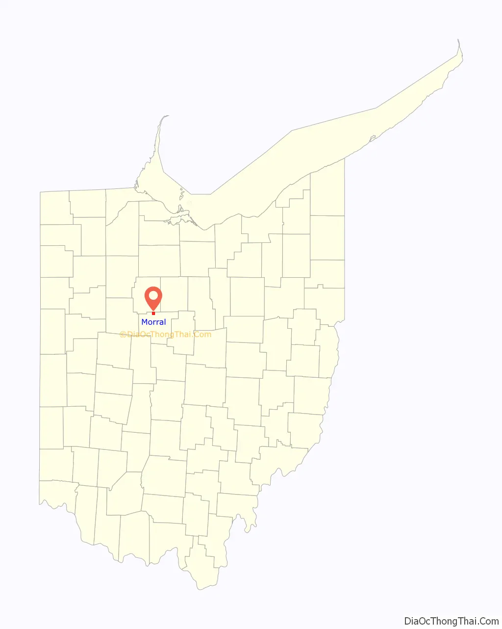
Morral location map. Where is Morral village?
History
A post office called Morral has been in operation since 1877. The village was named after Samuel Morral, the original owner of the town site.
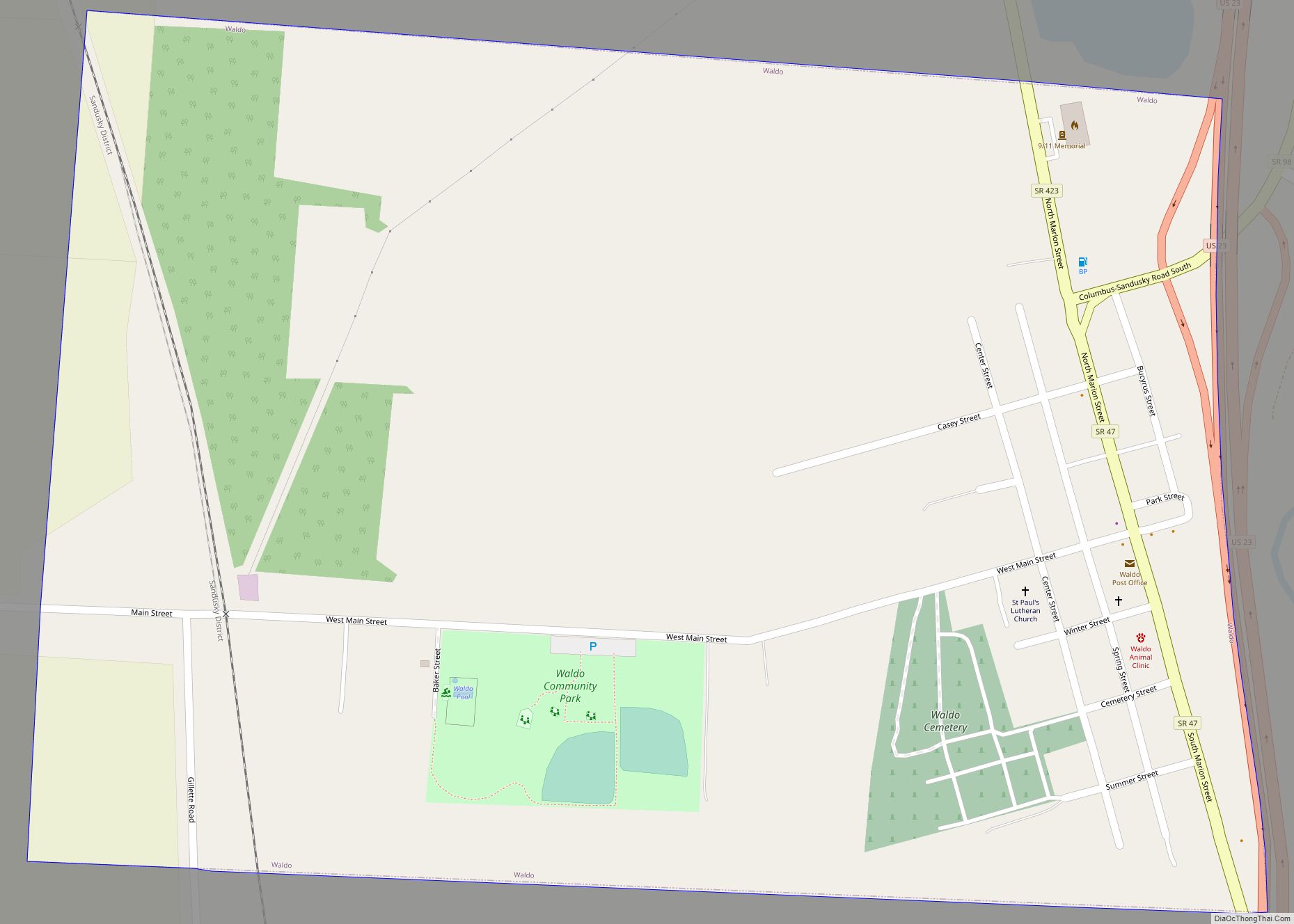
Morral Road Map
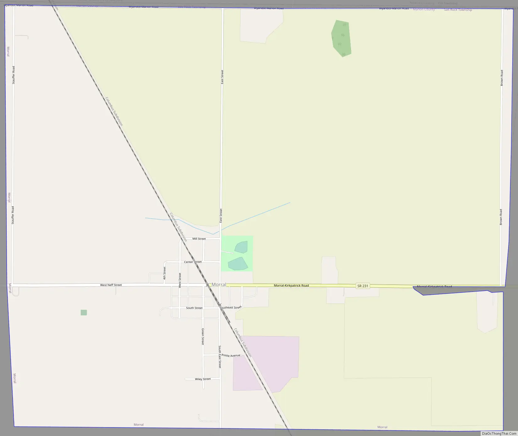
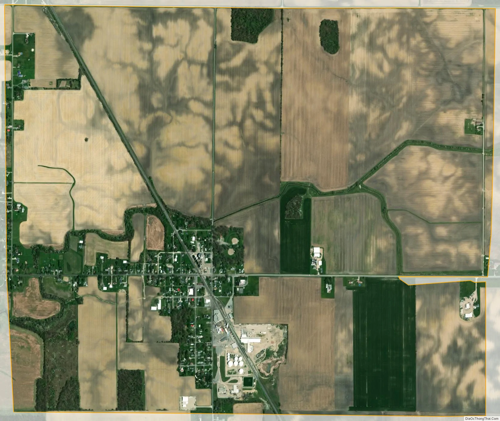
Morral city Satellite Map
Geography
Morral is located at 40°41′22″N 83°12′47″W / 40.68944°N 83.21306°W / 40.68944; -83.21306 (40.689435, -83.212985).
According to the United States Census Bureau, the village has a total area of 2.70 square miles (6.99 km), all land.
See also
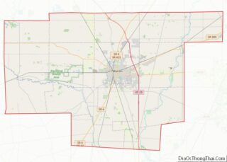
Map of Ohio State and its subdivision:- Adams
- Allen
- Ashland
- Ashtabula
- Athens
- Auglaize
- Belmont
- Brown
- Butler
- Carroll
- Champaign
- Clark
- Clermont
- Clinton
- Columbiana
- Coshocton
- Crawford
- Cuyahoga
- Darke
- Defiance
- Delaware
- Erie
- Fairfield
- Fayette
- Franklin
- Fulton
- Gallia
- Geauga
- Greene
- Guernsey
- Hamilton
- Hancock
- Hardin
- Harrison
- Henry
- Highland
- Hocking
- Holmes
- Huron
- Jackson
- Jefferson
- Knox
- Lake
- Lake Erie
- Lawrence
- Licking
- Logan
- Lorain
- Lucas
- Madison
- Mahoning
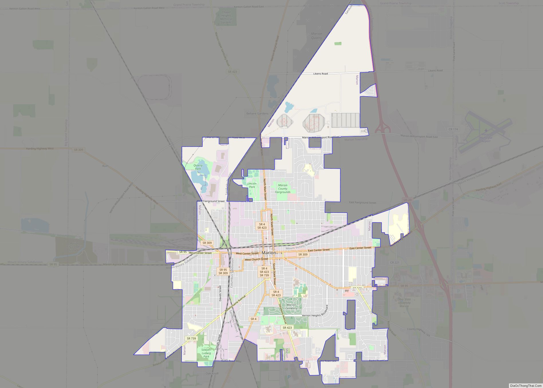
- Marion
- Medina
- Meigs
- Mercer
- Miami
- Monroe
- Montgomery
- Morgan
- Morrow
- Muskingum
- Noble
- Ottawa
- Paulding
- Perry
- Pickaway
- Pike
- Portage
- Preble
- Putnam
- Richland
- Ross
- Sandusky
- Scioto
- Seneca
- Shelby
- Stark
- Summit
- Trumbull
- Tuscarawas
- Union
- Van Wert
- Vinton
- Warren
- Washington
- Wayne
- Williams
- Wood
- Wyandot
- Alabama
- Alaska
- Arizona
- Arkansas
- California
- Colorado
- Connecticut
- Delaware
- District of Columbia
- Florida
- Georgia
- Hawaii
- Idaho
- Illinois
- Indiana
- Iowa
- Kansas
- Kentucky
- Louisiana
- Maine
- Maryland
- Massachusetts
- Michigan
- Minnesota
- Mississippi
- Missouri
- Montana
- Nebraska
- Nevada
- New Hampshire
- New Jersey
- New Mexico
- New York
- North Carolina
- North Dakota
- Ohio
- Oklahoma
- Oregon
- Pennsylvania
- Rhode Island
- South Carolina
- South Dakota
- Tennessee
- Texas
- Utah
- Vermont
- Virginia
- Washington
- West Virginia
- Wisconsin
- Wyoming