Mount Carmel is a census-designated place (CDP) in Clermont County, Ohio, United States. The population was 4,828 at the 2020 census.
| Name: | Mount Carmel CDP |
|---|---|
| LSAD Code: | 57 |
| LSAD Description: | CDP (suffix) |
| State: | Ohio |
| County: | Clermont County |
| Elevation: | 886 ft (270 m) |
| Total Area: | 1.83 sq mi (4.74 km²) |
| Land Area: | 1.83 sq mi (4.74 km²) |
| Water Area: | 0.00 sq mi (0.01 km²) |
| Total Population: | 4,828 |
| Population Density: | 2,638.25/sq mi (1,018.79/km²) |
| FIPS code: | 3952612 |
| GNISfeature ID: | 1066279 |
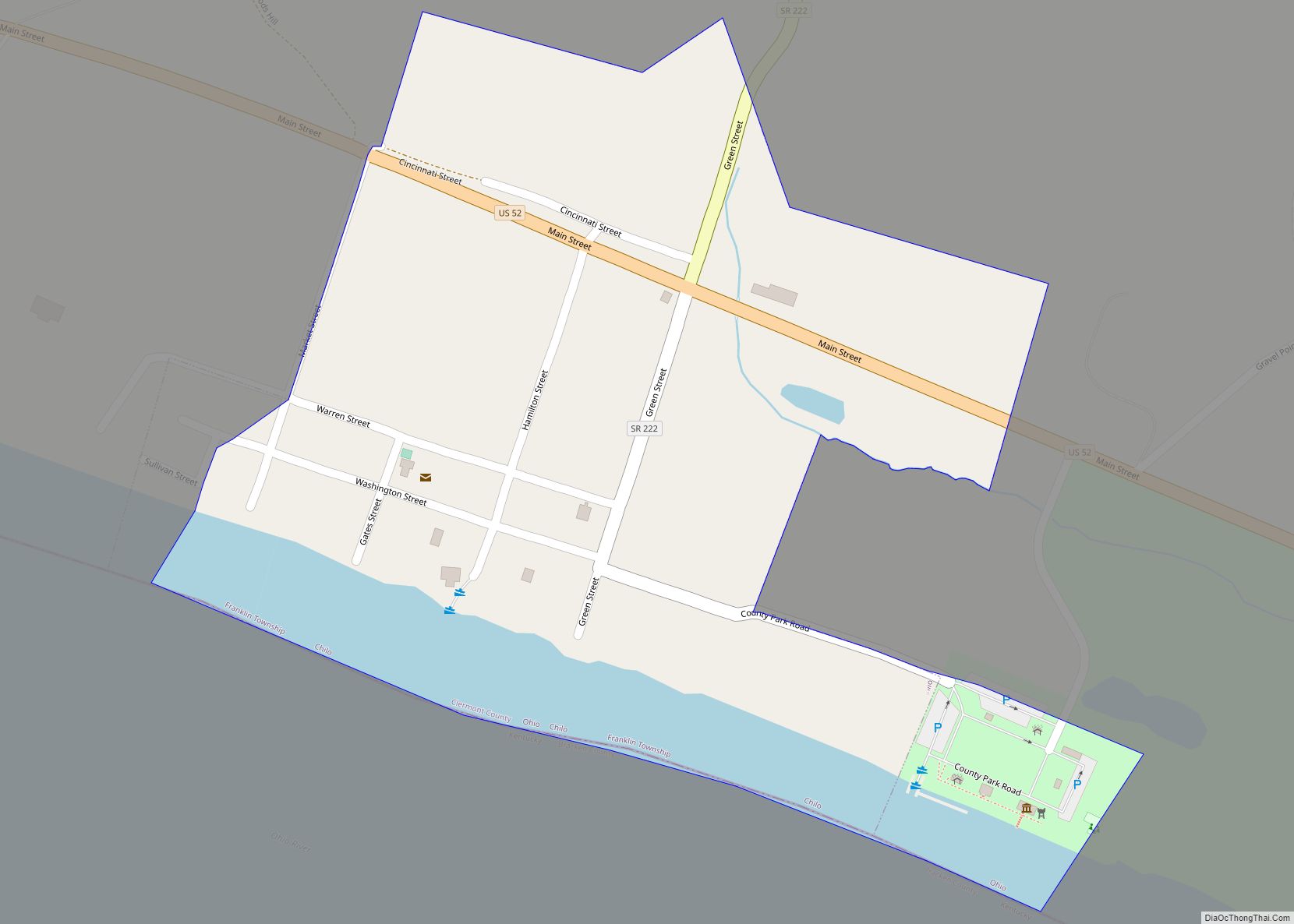
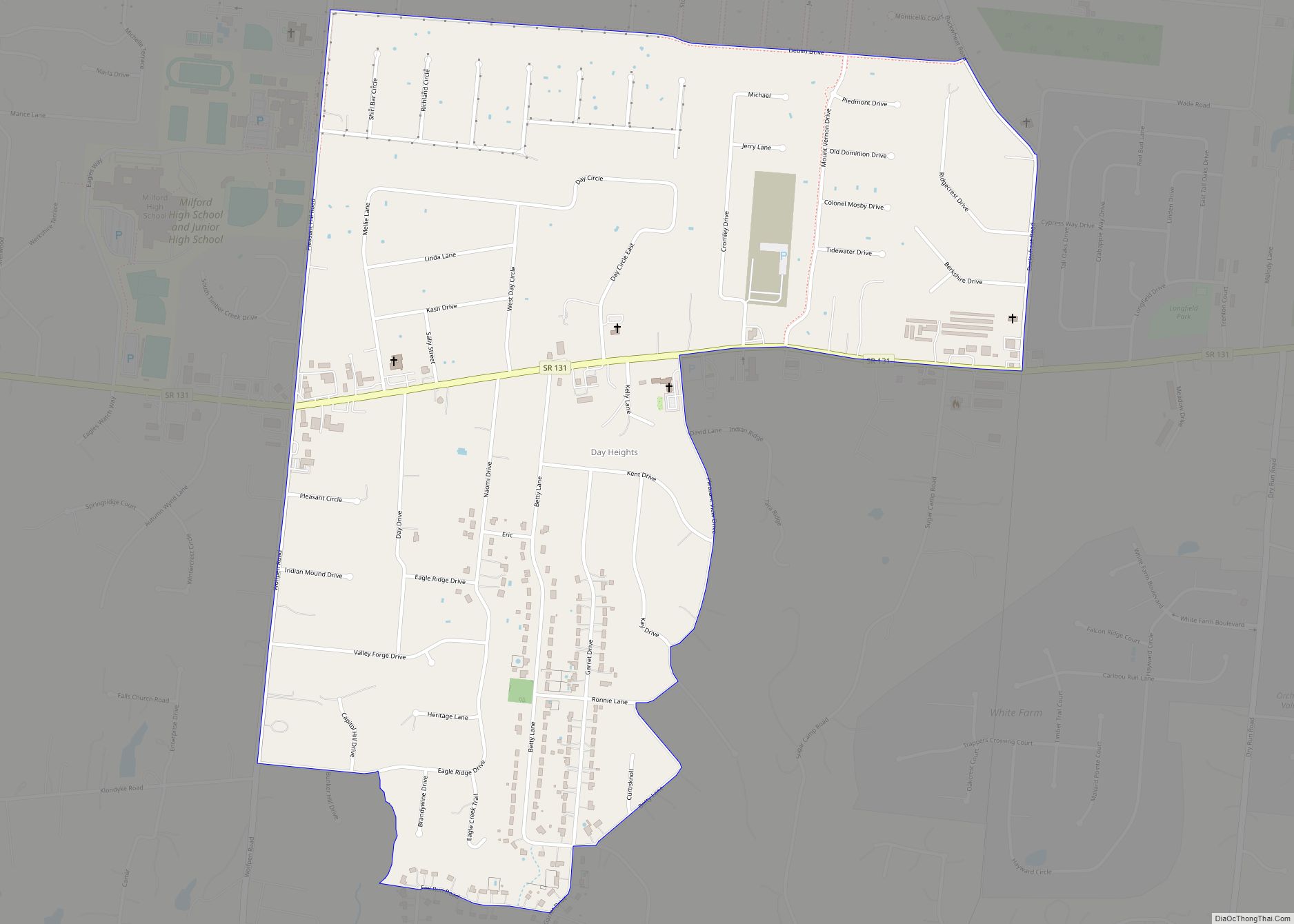
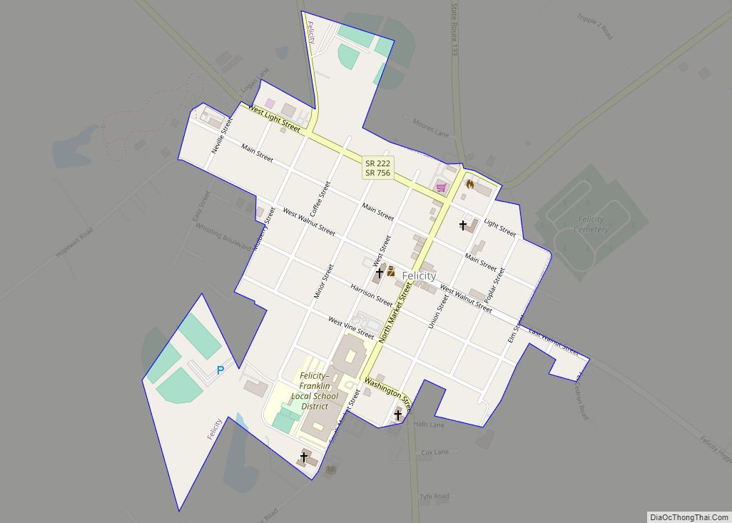
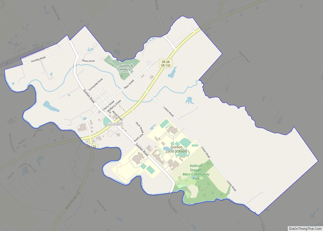
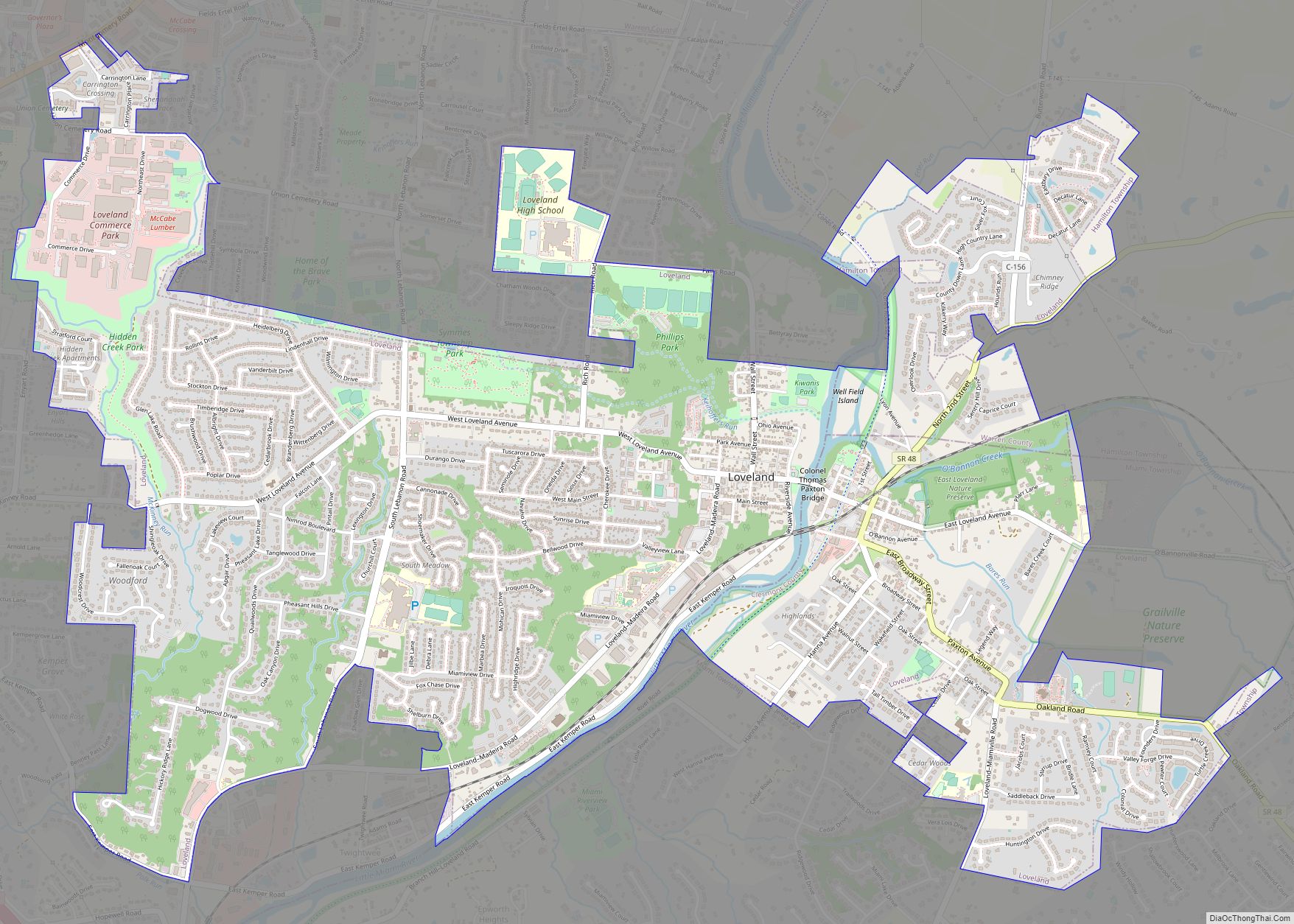
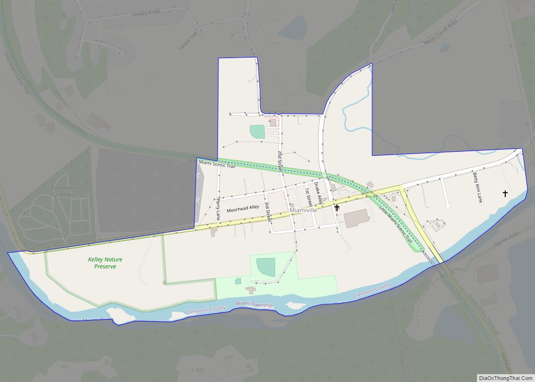
Online Interactive Map
Click on ![]() to view map in "full screen" mode.
to view map in "full screen" mode.
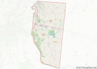
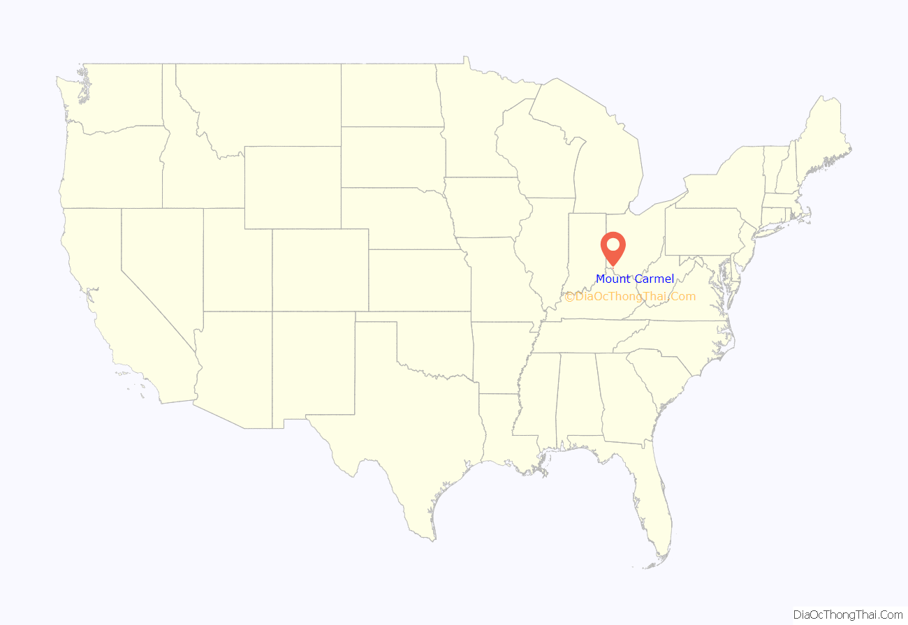
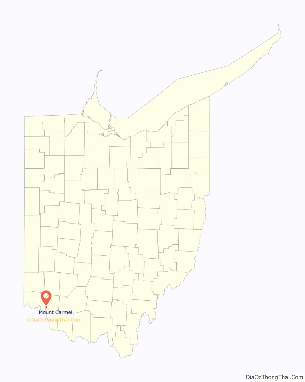
Mount Carmel location map. Where is Mount Carmel CDP?
History
Mt. Carmel is one of the oldest communities in Union Township. In 1788 surveyor John Obannon and his team came in this mostly unsettled area to prepare for building and developing new homes and businesses. It was mostly inhabited by Revolutionary War soldiers. Their property was basically payment for fighting the battles through the Ohio Land Grant. This could have included several hundred acres.
A pioneer from New Jersey, John Rose who was one of the first to settle there in 1796, is actually considered the father of Mt. Carmel. The only historical sign of his presence today is a very small graveyard where he is buried, going down Rose Hill entering Hamilton County. According to one historian, Rose may have picked the name from the Bible.
The Catawba grape industry was a thriving business in the Ohio River Valley because it was hearty enough to withstand the harsh Ohio winters, Farmers in the Mt. Carmel and surrounding area took advantage of this and grape arbors were popping up throughout Union Township contributing to the distinction of the state leading the country in wine production by 1860.
A post office was established in 1887 however it was being built outside the village limits so East Mt Carmel was created so it could take advantage of the benefits. After a few years though the post office was redesignated as Summerside, Ohio. By the twentieth century the Summerside and the nearby Glen Este post offices were both closed and were moved to Newtown, farther west. Recently the Newtown office closed and now the closest post office is on Nagel Road in Anderson Township.
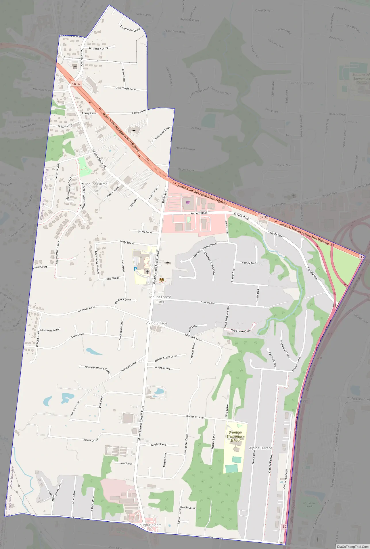
Mount Carmel Road Map
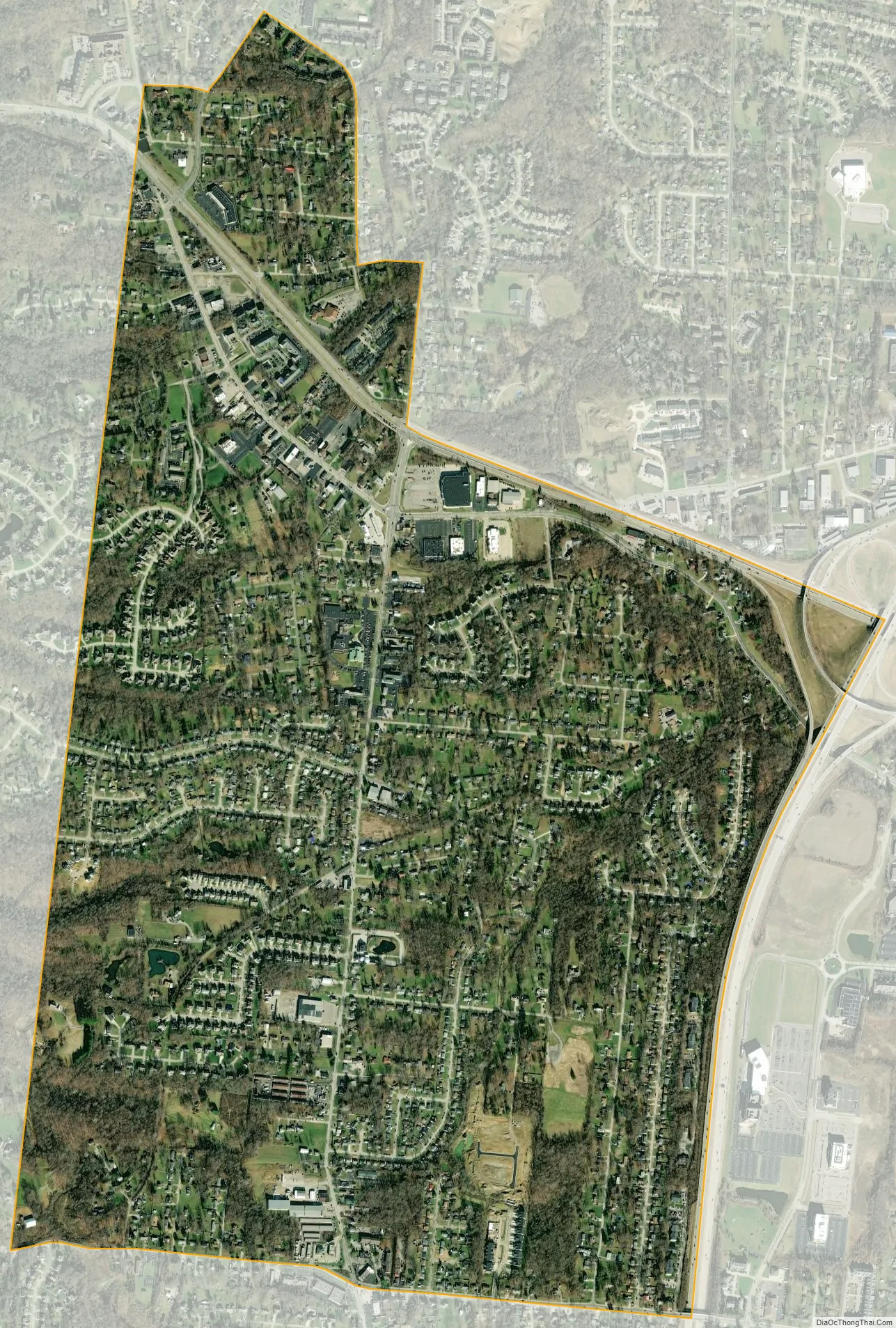
Mount Carmel city Satellite Map
Geography
Mount Carmel is located on the western edge of Union Township at 39°5′55″N 84°17′46″W / 39.09861°N 84.29611°W / 39.09861; -84.29611 (39.098679, -84.296044). It is bordered on the north by Summerside and on the west by Dry Run in Anderson Township, Hamilton County.
Ohio State Route 32 forms the northern border of Mount Carmel, and Interstate 275 forms the eastern edge. The highways cross at I-275 Exit 63 at the northeast corner of the community. Downtown Cincinnati is 14 miles (23 km) to the west via Route 32, or 19 miles (31 km) via I-275 and I-471. Batavia, the Clermont County seat, is 7 miles (11 km) to the east via Route 32.
According to the United States Census Bureau, the Mount Carmel CDP has a total area of 1.84 square miles (4.76 km), of which 0.004 square miles (0.01 km), or 0.11%, is water.
See also
Map of Ohio State and its subdivision:- Adams
- Allen
- Ashland
- Ashtabula
- Athens
- Auglaize
- Belmont
- Brown
- Butler
- Carroll
- Champaign
- Clark
- Clermont
- Clinton
- Columbiana
- Coshocton
- Crawford
- Cuyahoga
- Darke
- Defiance
- Delaware
- Erie
- Fairfield
- Fayette
- Franklin
- Fulton
- Gallia
- Geauga
- Greene
- Guernsey
- Hamilton
- Hancock
- Hardin
- Harrison
- Henry
- Highland
- Hocking
- Holmes
- Huron
- Jackson
- Jefferson
- Knox
- Lake
- Lake Erie
- Lawrence
- Licking
- Logan
- Lorain
- Lucas
- Madison
- Mahoning
- Marion
- Medina
- Meigs
- Mercer
- Miami
- Monroe
- Montgomery
- Morgan
- Morrow
- Muskingum
- Noble
- Ottawa
- Paulding
- Perry
- Pickaway
- Pike
- Portage
- Preble
- Putnam
- Richland
- Ross
- Sandusky
- Scioto
- Seneca
- Shelby
- Stark
- Summit
- Trumbull
- Tuscarawas
- Union
- Van Wert
- Vinton
- Warren
- Washington
- Wayne
- Williams
- Wood
- Wyandot
- Alabama
- Alaska
- Arizona
- Arkansas
- California
- Colorado
- Connecticut
- Delaware
- District of Columbia
- Florida
- Georgia
- Hawaii
- Idaho
- Illinois
- Indiana
- Iowa
- Kansas
- Kentucky
- Louisiana
- Maine
- Maryland
- Massachusetts
- Michigan
- Minnesota
- Mississippi
- Missouri
- Montana
- Nebraska
- Nevada
- New Hampshire
- New Jersey
- New Mexico
- New York
- North Carolina
- North Dakota
- Ohio
- Oklahoma
- Oregon
- Pennsylvania
- Rhode Island
- South Carolina
- South Dakota
- Tennessee
- Texas
- Utah
- Vermont
- Virginia
- Washington
- West Virginia
- Wisconsin
- Wyoming